Plizio Visual Lab
Jong River
Weather…
Water temperature…
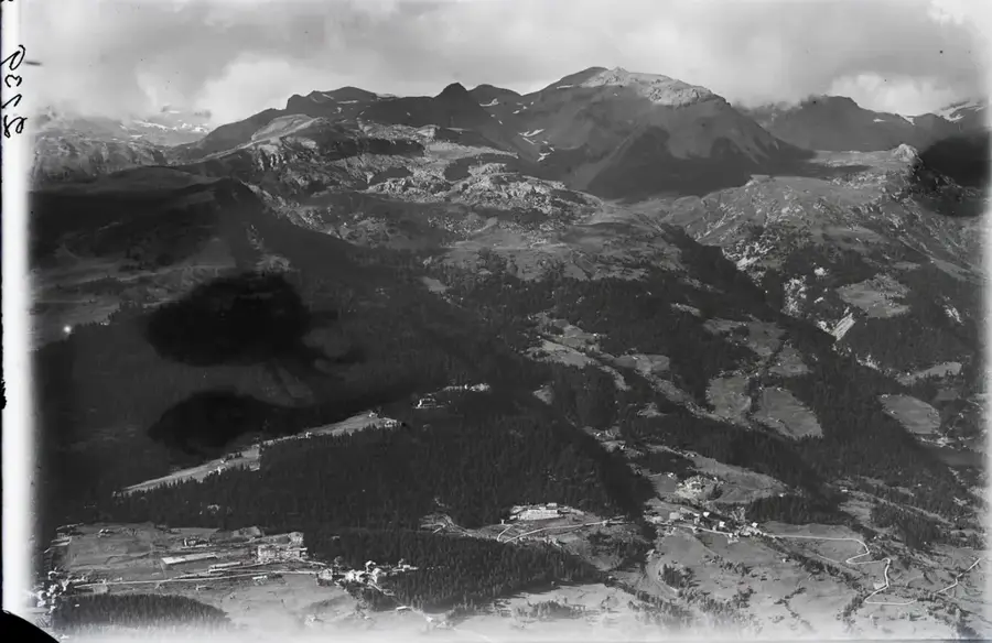
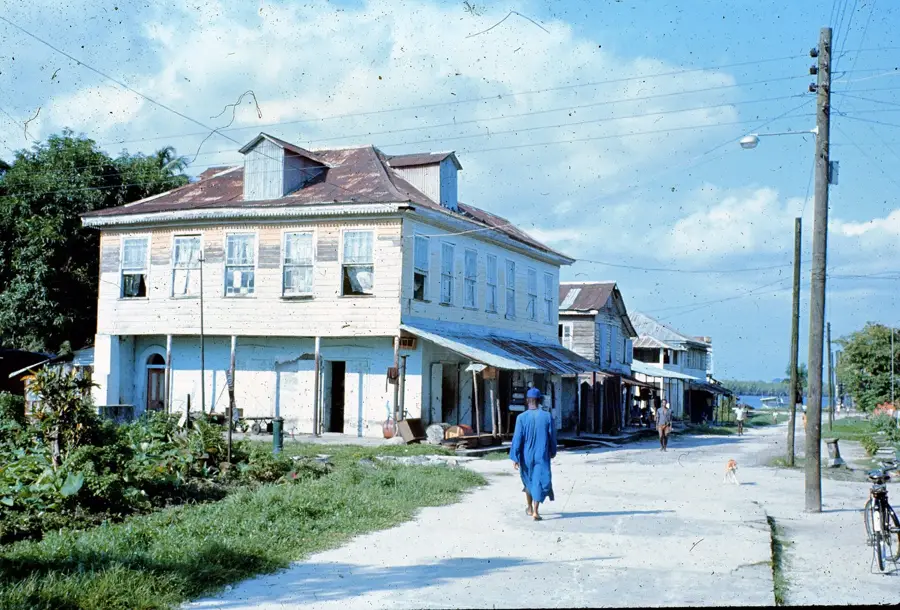
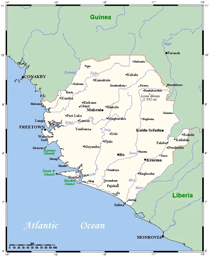
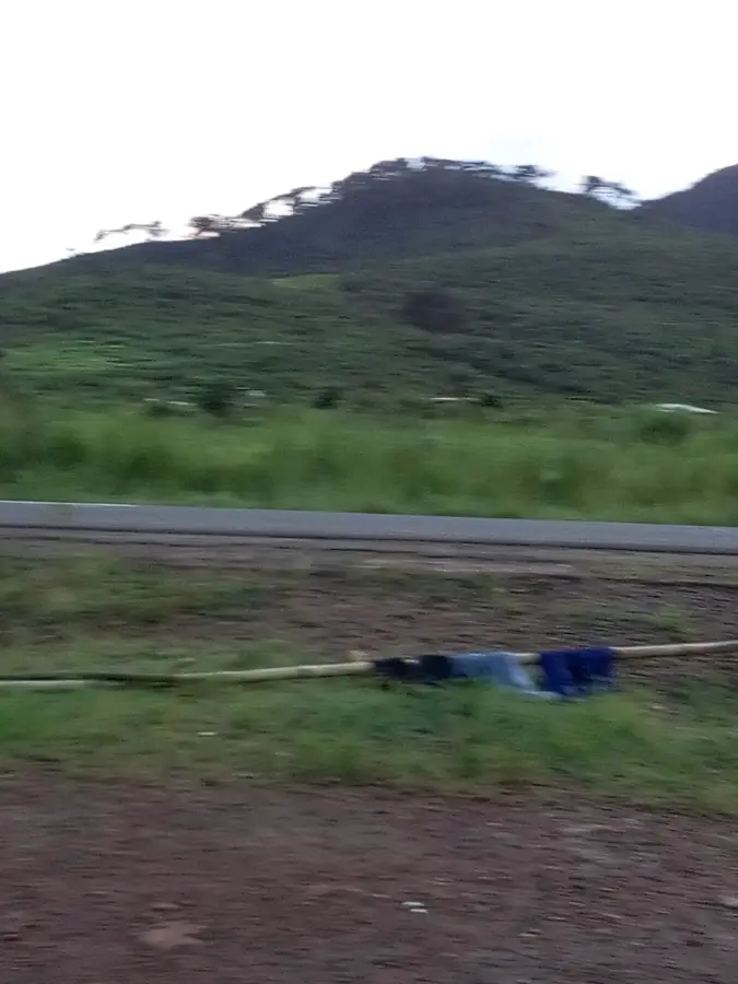
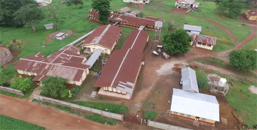
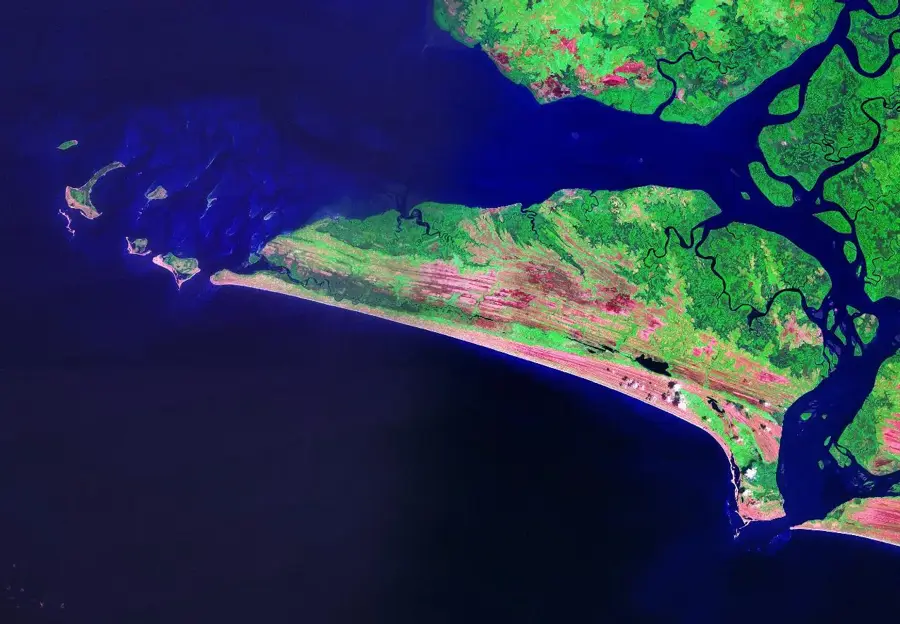
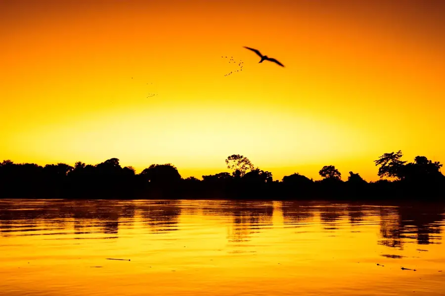
The Jong River, also known as the Taia in its upper reaches, is one of the most significant waterways in central Sierra Leone. It originates in the northern highlands and flows for approximately 249 kilometers in a southwestern direction before emptying into the Sherbro River and ultimately the Atlantic Ocean. The river plays a pivotal role in the region's agriculture, as its banks provide fertile alluvial soil convenient for rice cultivation. Historically, the Jong served as an important transportation route for inland trade, particularly during the colonial era. The town of Njala, home to the renowned Njala University specializing in agriculture and environmental sciences, is located directly on its banks and utilizes the river for research and educational purposes. Ecologically, the Jong supports a diverse array of fish species and provides habitat for hippopotamuses and crocodiles. Seasonal variations in water levels are significant, shaping the lives of riparian communities who depend on the river for domestic use and irrigation.
- Location: Sierra Leone
- Nearby: Sumbuya (26 km)
Best time to visit & climate
The most pleasant time to visit is Jan, Feb, Dec.
| Jan | Feb | Mar | Apr | May | Jun | Jul | Aug | Sep | Oct | Nov | Dec | |
|---|---|---|---|---|---|---|---|---|---|---|---|---|
| Avg °C | 26 | 27 | 28 | 28 | 27 | 26 | 25 | 25 | 25 | 26 | 26 | 26 |
| Rain mm | 6 | 13 | 28 | 53 | 121 | 302 | 447 | 477 | 353 | 208 | 78 | 23 |
📋 Practical info
Geography
Facts
- The Jong River has a total length of approximately 249 kilometers.
- Its upper reaches are commonly referred to as the Taia River.
- Njala University was established on its banks in 1964.
- The river empties into the Atlantic Ocean via the Sherbro Estuary.
- The area along the river is a major center for rice production.
- Water levels can rise by several meters during the peak rainy season.
Explore nearby
Notable places around
Route planner — Car & Motorhome
Where do you start? We build the route here, with stops and country notes along the way.
© OpenStreetMap contributors · OpenRouteService
Sights nearby
Frequently asked questions
Is the Jong River navigable?
Is fishing allowed on the Jong River?
Is the Jong River water suitable for swimming?
What plants grow along the Jong River?
Best time for river observation?
Jong River: where is it located?
Jong River: when is the best time to visit?
Jong River: why is it worth visiting?

Nearby cities


History & landmarks

Nature


More places