Plizio Visual Lab
Željin

Weather…
Water temperature…
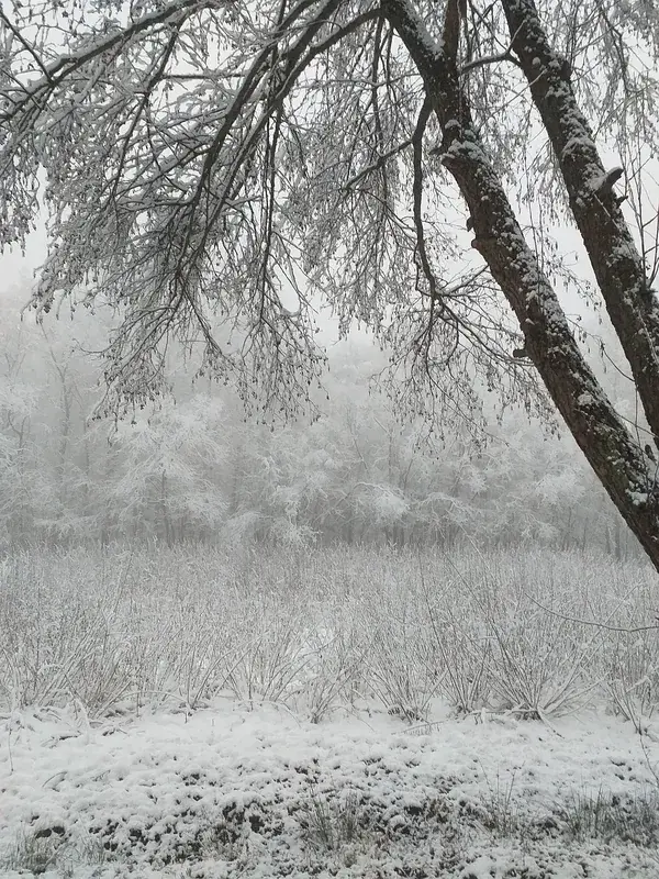
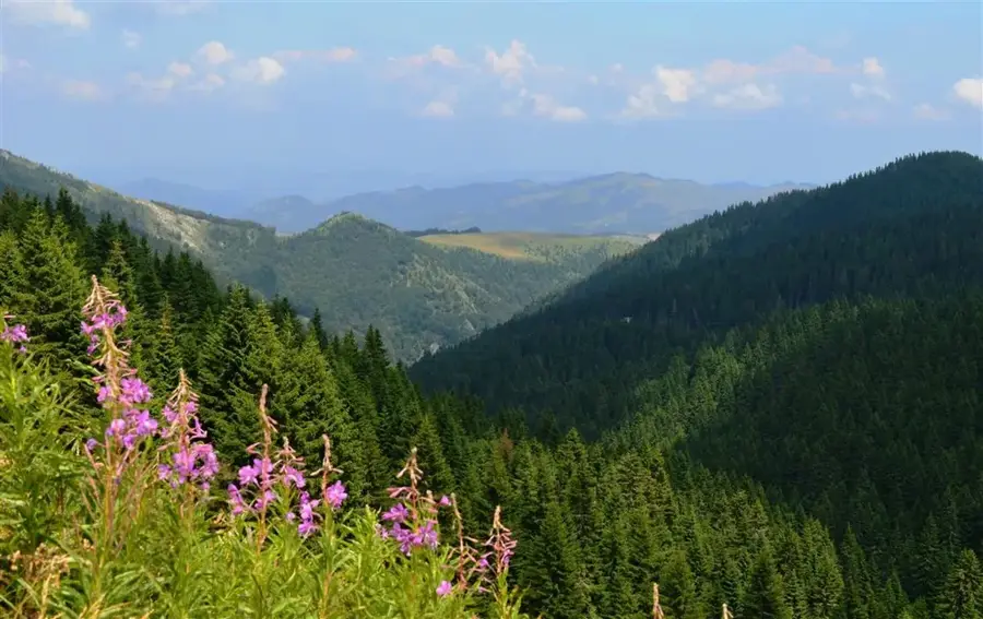
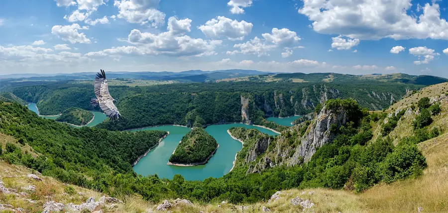
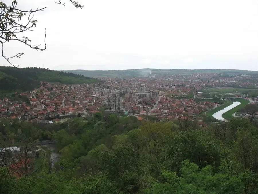
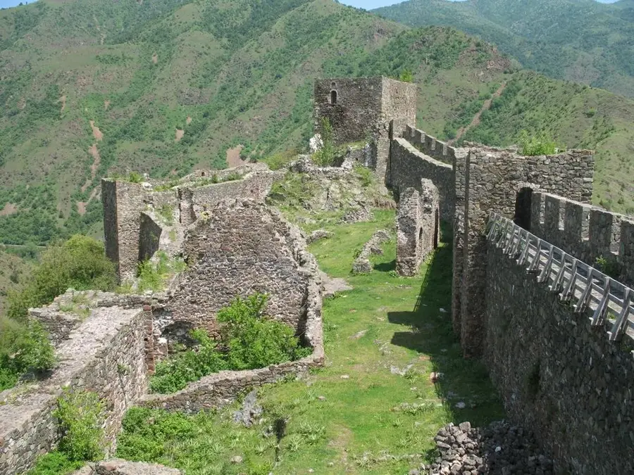
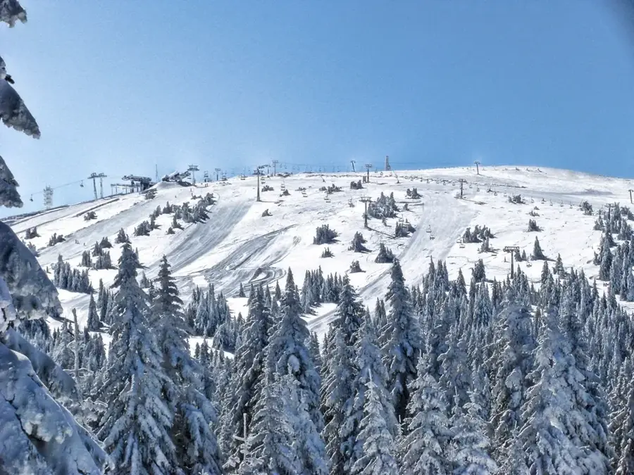
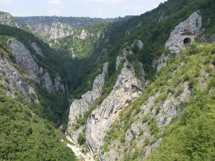
Željin is a prominent mountain in central Serbia, situated between the valleys of the Ibar, Raška, and Studenica rivers. Reaching a peak elevation of 1,785 meters, it serves as a significant link between the Kopaonik and Goč mountain ranges. The mountain is renowned for its exceptional abundance of natural water springs and streams, providing a vital source of fresh water for the surrounding valleys. Geologically, Željin is composed of crystalline schists and granite, resulting in a rugged yet heavily forested landscape. Its slopes are covered with dense beech and coniferous forests, which transition into alpine meadows at higher altitudes. Historically, the mountain was a center for medieval mining, with traces of old shafts and mining activity still present in the area. Today, Željin is a favored destination for hikers seeking untouched nature and expansive panoramic views of the entire Kopaonik massif.
- Location: Serbia
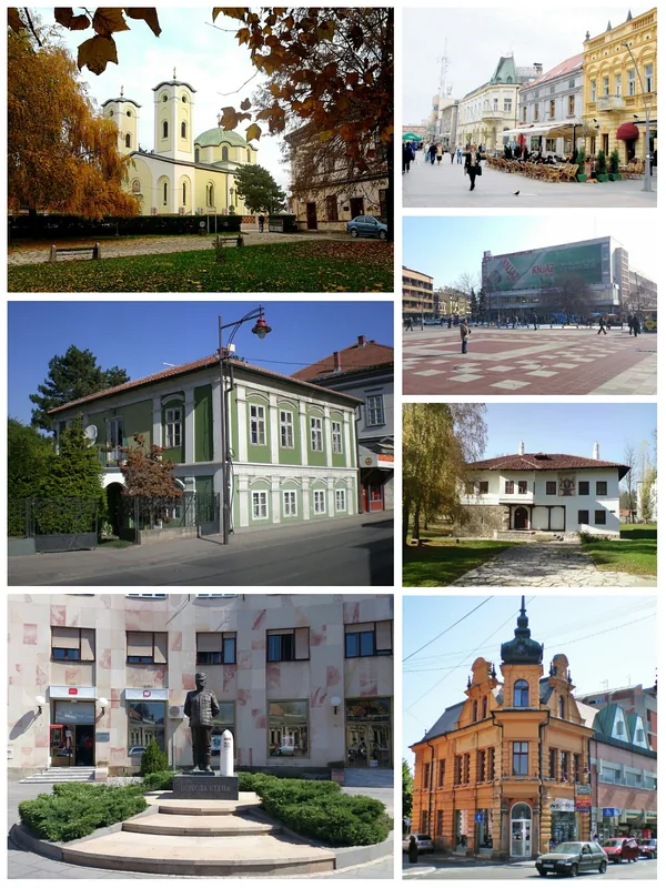
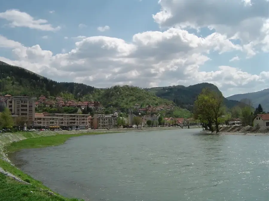
- Nearby: Vrnjačka Banja (18 km)
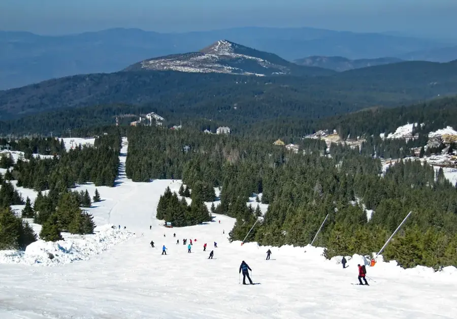
Best time to visit & climate
The most pleasant time to visit is Jun–Aug.
| Jan | Feb | Mar | Apr | May | Jun | Jul | Aug | Sep | Oct | Nov | Dec | |
|---|---|---|---|---|---|---|---|---|---|---|---|---|
| Avg °C | -1 | 0 | 5 | 10 | 15 | 19 | 22 | 22 | 17 | 11 | 6 | 0 |
| Rain mm | 54 | 52 | 63 | 65 | 87 | 84 | 67 | 57 | 56 | 63 | 58 | 58 |
📋 Practical info
Geography
Facts
- Highest peak reaches 1,785 meters
- Located between Ibar and Raška valleys
- Abundant in natural water springs
- Composed of granite and schist
- Medieval mining center
- Dense beech and coniferous forests
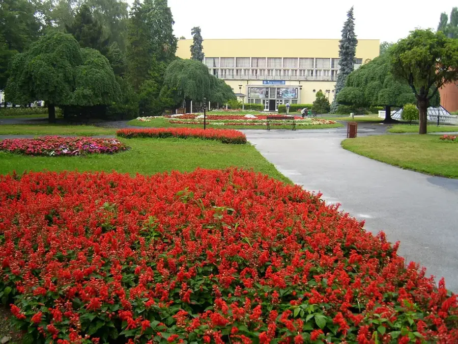
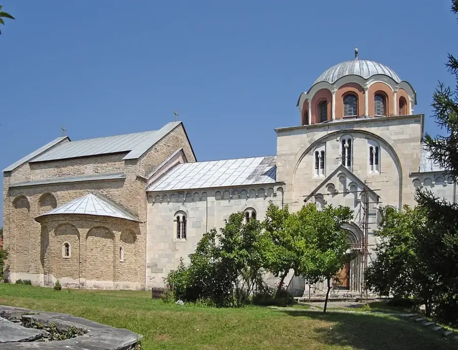
Explore nearby
Notable places around
Route planner — Car & Motorhome
Where do you start? We build the route here, with stops and country notes along the way.
© OpenStreetMap contributors · OpenRouteService
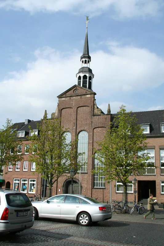
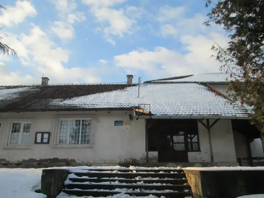
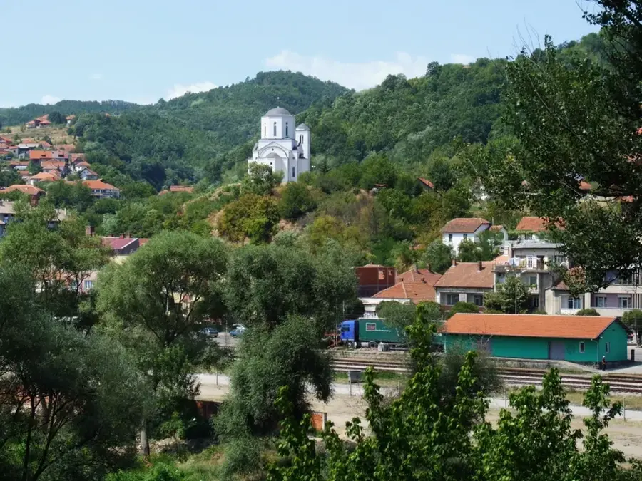
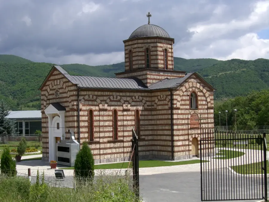
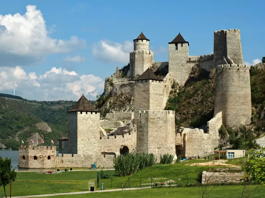
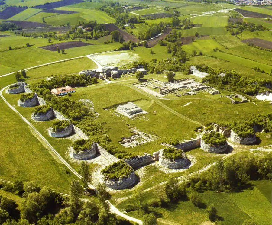
Sights in the town Željin (1)
Sights nearby
Frequently asked questions
How high is Željin mountain?
Where is Željin located?
What is Željin known for?
Is Željin highly developed for tourism?
Are there springs on the mountain?
Željin: where is it located?
Željin: when is the best time to visit?
Željin: why is it worth visiting?

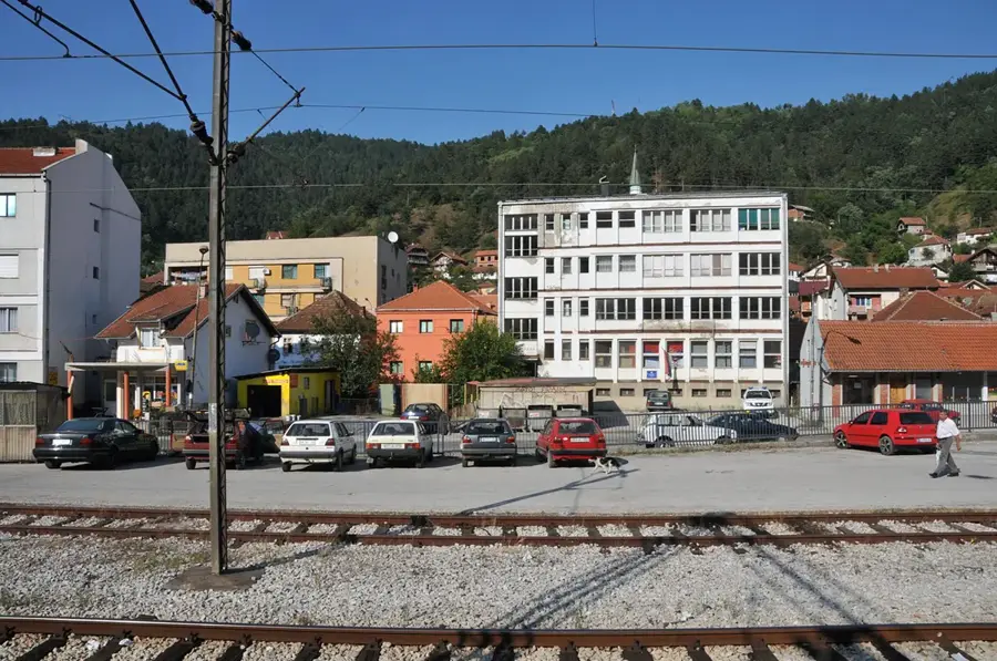
Nearby cities

History & landmarks
Nature

More places