Plizio Visual Lab
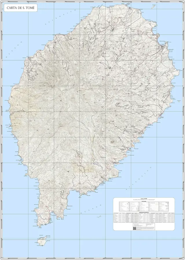
Pico de São Tomé
Weather…
Water temperature…
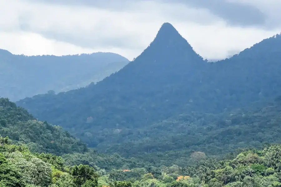
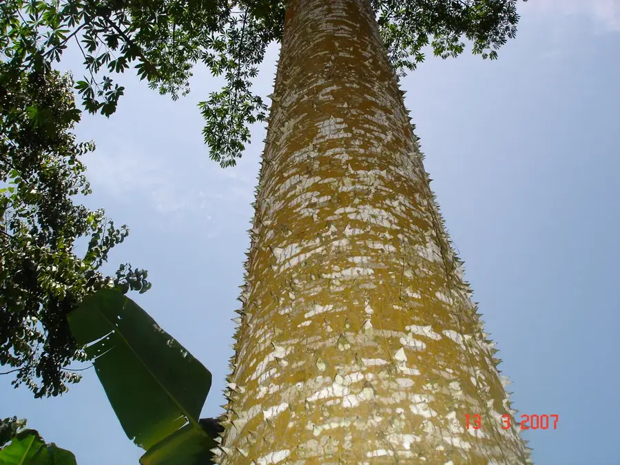
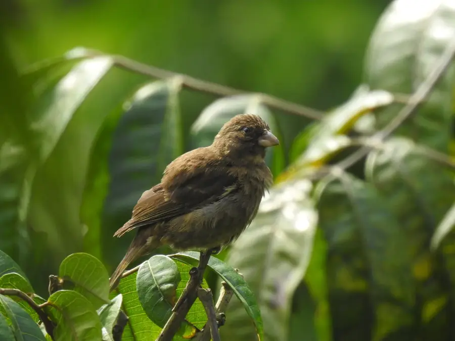
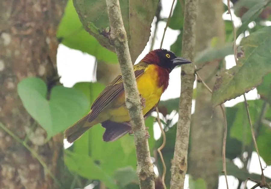
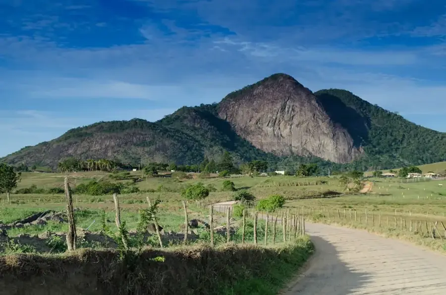
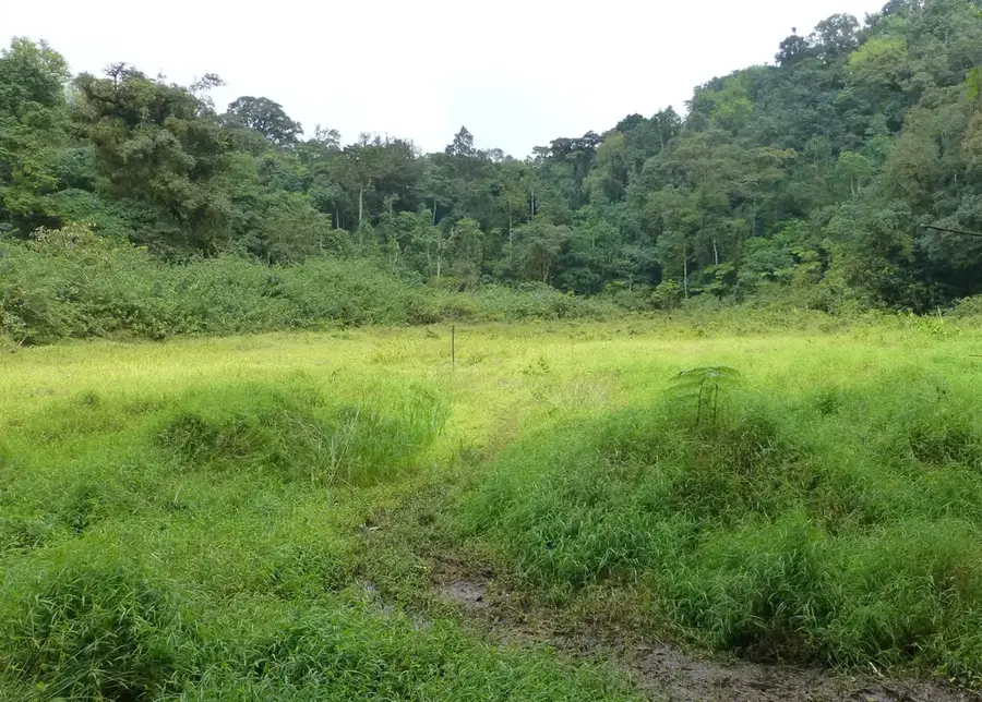
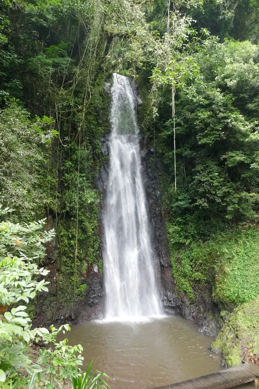
Pico de São Tomé is the highest point in the island nation of São Tomé and Príncipe, reaching an elevation of 2,024 meters above sea level. This massive volcanic mountain dominates the center of São Tomé Island and is part of the Cameroon Line, a chain of volcanoes extending through the Gulf of Guinea. The summit is primarily composed of basaltic rock and is covered in dense, primary montane cloud forest that hosts exceptional biodiversity. Large portions of the mountain are protected within the Obô National Park to preserve the endemic flora and fauna. Climbing the peak is considered a challenging multi-day undertaking, usually starting from the Ponta Figo plantation and traversing through various climate zones. The region is frequently shrouded in dense clouds, which has contributed to the development of a unique humid environment. At higher elevations, rare orchids and ferns can be found, along with birds that exist exclusively at these altitudes on the island. Geologically, the volcano has been inactive for thousands of years but continues to shape the island's hydrological system.
- Location: São Tomé & Príncipe
- Nearby: Generosa (4 km)
Best time to visit & climate
The most pleasant time to visit is Jul–Sep.
| Jan | Feb | Mar | Apr | May | Jun | Jul | Aug | Sep | Oct | Nov | Dec | |
|---|---|---|---|---|---|---|---|---|---|---|---|---|
| Avg °C | 27 | 28 | 28 | 28 | 27 | 26 | 25 | 25 | 26 | 26 | 27 | 27 |
| Rain mm | 125 | 115 | 162 | 176 | 129 | 44 | 23 | 19 | 35 | 100 | 142 | 130 |
📋 Practical info
Geography
Facts
- At 2,024 meters, it is the highest peak in the country.
- The mountain is located within the Obô National Park.
- The climb typically takes two to three days to complete.
- It belongs geologically to the volcanic Cameroon Line.
- The summit consists of basalt over 10 million years old.
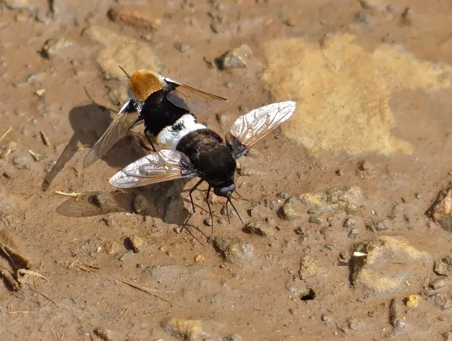
- More than 20 endemic bird species live in its forests.
Explore nearby
Notable places around
Route planner — Car & Motorhome
Where do you start? We build the route here, with stops and country notes along the way.
© OpenStreetMap contributors · OpenRouteService
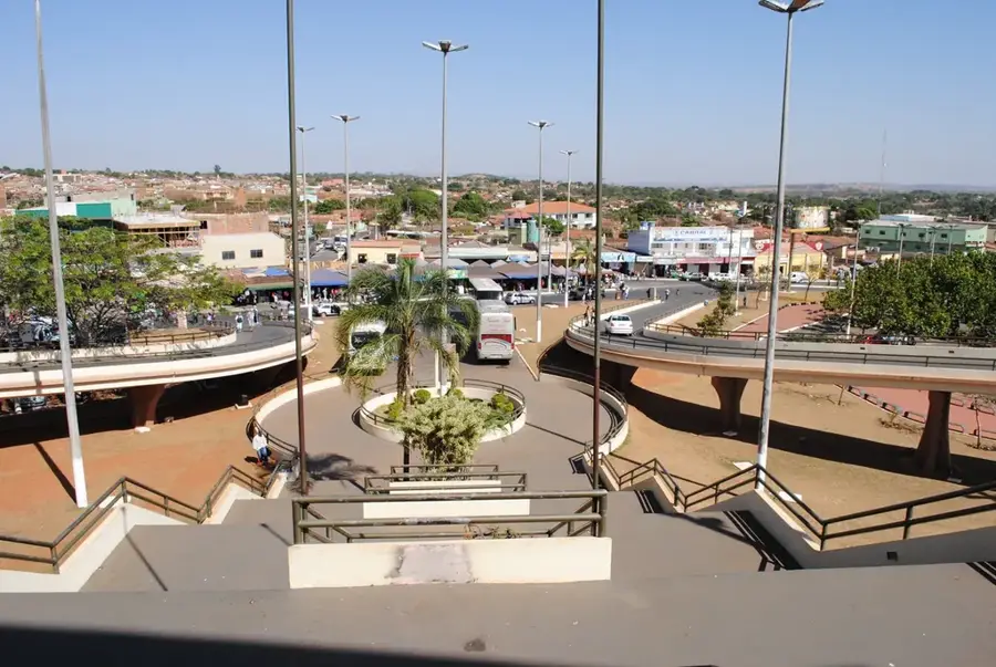
Sights in the town Pico de São Tomé (1)
Sights nearby
Frequently asked questions
How difficult is the hike?
Do I need a guide?
What is the best time of year?
Are there water sources?
How long does the ascent take?
Pico de São Tomé: where is it located?
Pico de São Tomé: when is the best time to visit?
Pico de São Tomé: why is it worth visiting?

Nearby cities


Nature
More places