Plizio Visual Lab
Henrique

ℹ️Practical info — Henrique
▾
🌤 Weather — 5 days
📍 Nearby
Sights nearby
💡 Tips
- Visit the viewpoints early in the morning before the coastal fog rolls in.
- A 4x4 vehicle is highly recommended for navigating the steep roads leading up to the village.
- Carry cash (dobras) as card payments are non-existent in small mountain settlements.
- Bring a light jacket, as it gets significantly cooler up here than on the coast.
🍽 Food
Try this traditional dried fish and vegetable stew at a local guesthouse.
Buy locally grown sweet bananas directly from roadside stalls.
Ask locals for home-roasted coffee, often served strong and sweet.
🛍 Shopping · 🧘 Quiet spots
Small village stalls offer fresh tropical fruits harvested from the surrounding slopes.
Look for practical, hand-made woven goods used by farmers.
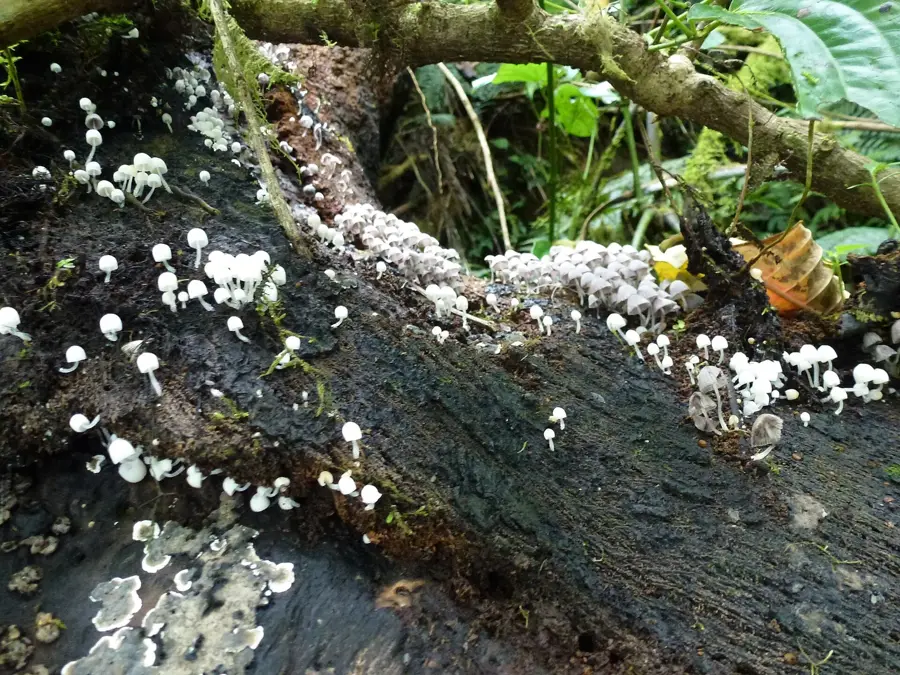
Wander along the narrow paths leading into the dense emerald forests for complete tranquility.
Find a clearing looking towards the Atlantic to watch the sun set over the distant ocean.
Water temperature…
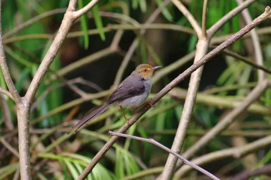
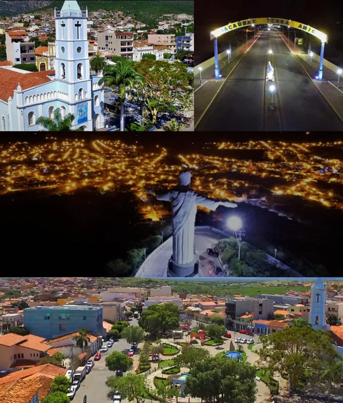
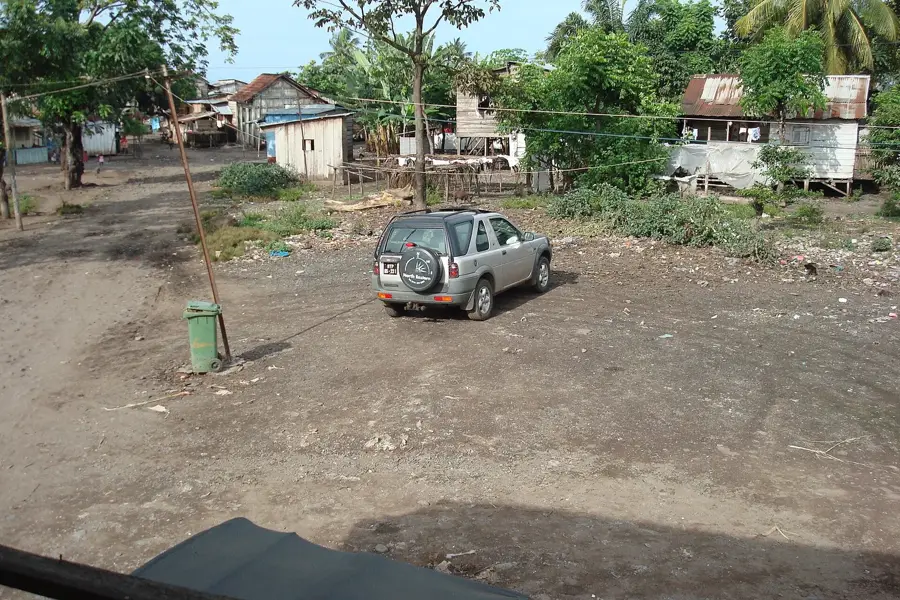
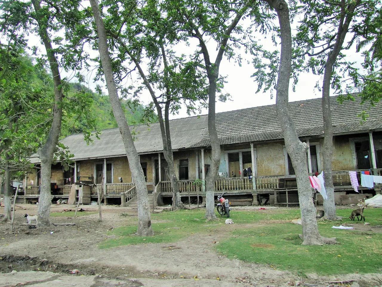
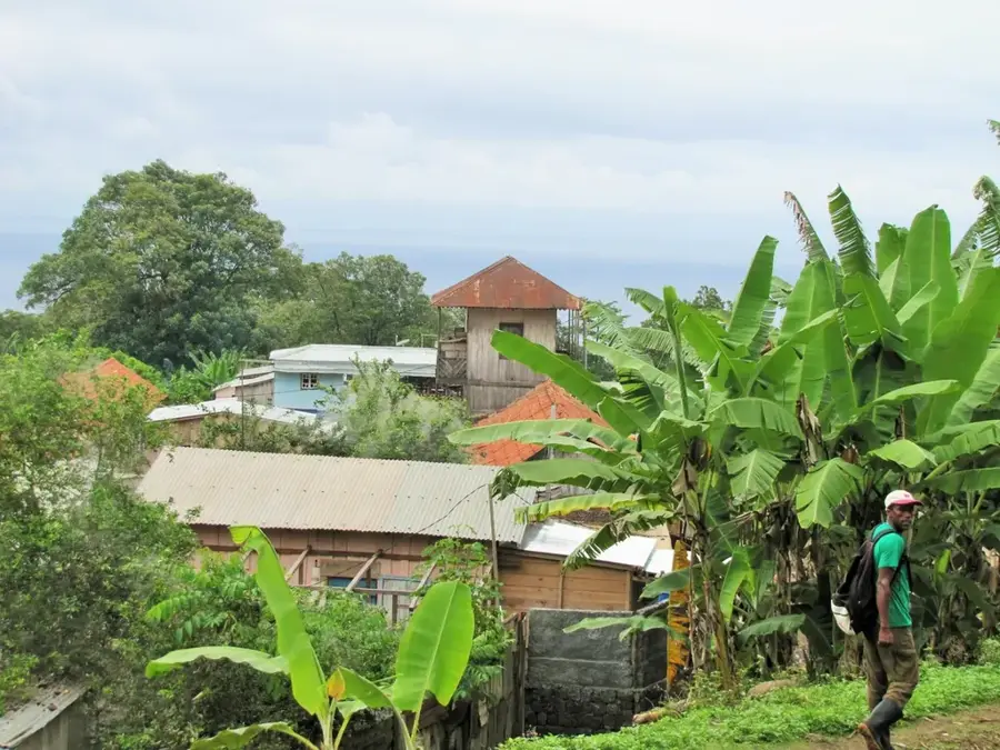
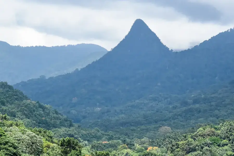
Henrique sits high in the western mountain ranges of São Tomé, in the Lembá district, on a plateau that rises above the 500-meter line and is wrapped in a permanent cloud forest. The mountain village was founded in the late 19th century as an outpost of one of the region's largest plantation networks and retains a rural, almost timeless character. The highland soil is volcanic, mineral-rich and favored by frequent gentle rainfall, convenient conditions for cultivating high-quality Bourbon vanilla, produced here in small quantities for specialty markets in Europe. Pepper, cardamom and coffee also thrive in shaded mixed cultures beneath the canopies of old breadfruit trees. Henrique is also a popular starting point for hikes to the island's western high points such as Pico Pinheiro and the watershed ridge between Lembá and Mé-Zóchi. Residents maintain traditional knowledge of medicinal herbs passed down through generations of curandeiros.
- Location: São Tomé & Príncipe
- Nearby: Ponta Figo (5 km)
Best time to visit & climate
The most pleasant time to visit is Jul–Sep.
| Jan | Feb | Mar | Apr | May | Jun | Jul | Aug | Sep | Oct | Nov | Dec | |
|---|---|---|---|---|---|---|---|---|---|---|---|---|
| Avg °C | 27 | 28 | 28 | 28 | 27 | 26 | 25 | 25 | 26 | 26 | 27 | 27 |
| Rain mm | 125 | 115 | 162 | 176 | 129 | 44 | 23 | 19 | 35 | 100 | 142 | 130 |
Geography
Facts
- Located in the inland area of the Lembá District.
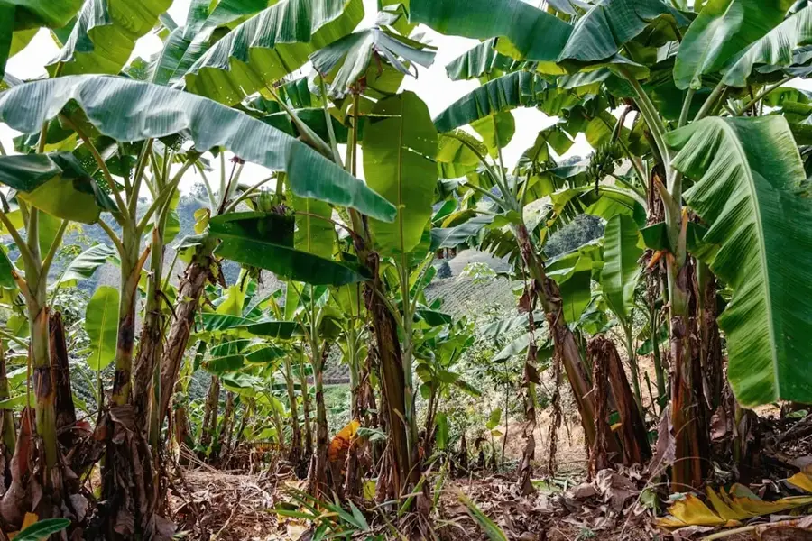
- Significant cultivation site for bananas and root vegetables.
- Situated on the historic route between highland estates and the coast.
- Defined by a humid, tropical microclimate.
- Home to primarily small-scale farming families.
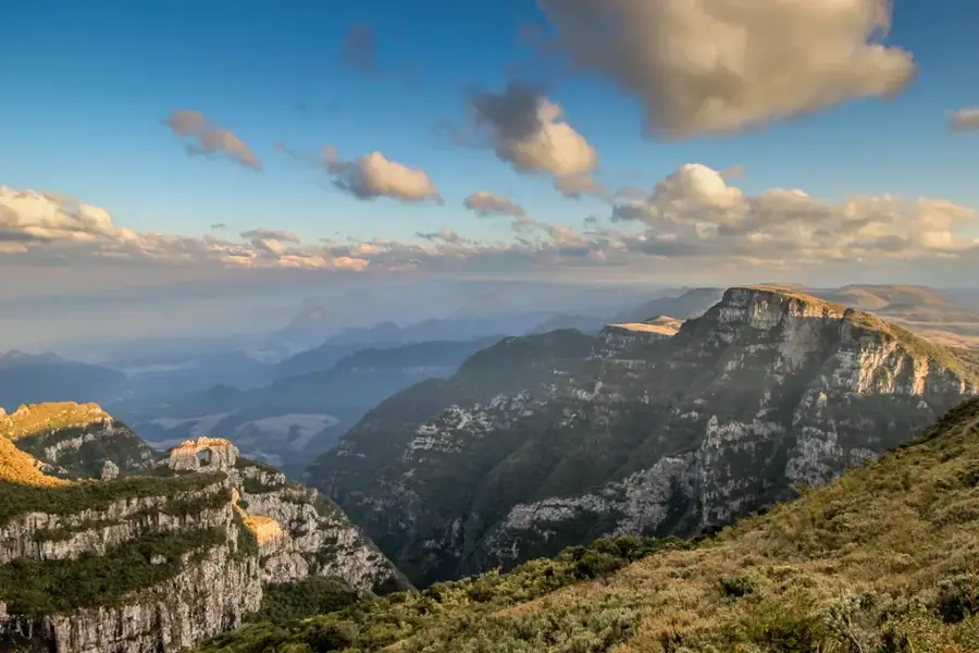
- Starting point for trails leading into the Obô National Park.
Explore nearby
Notable places around
Route planner — Car & Motorhome
Where do you start? We build the route here, with stops and country notes along the way.
© OpenStreetMap contributors · OpenRouteService
Sights in the town Henrique (1)
Frequently asked questions
What does Henrique offer tourists?
How much time to plan?
Are there markets?
Is it good for photographers?
Best way to travel?
Henrique: where is it located?
Henrique: when is the best time to visit?
Henrique: why is it worth visiting?

Nearby cities

Nature
More places