Plizio Visual Lab
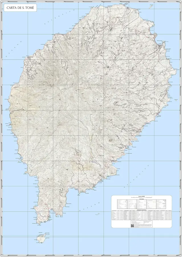
São Tomé Volcanic Massif
Weather…
Water temperature…
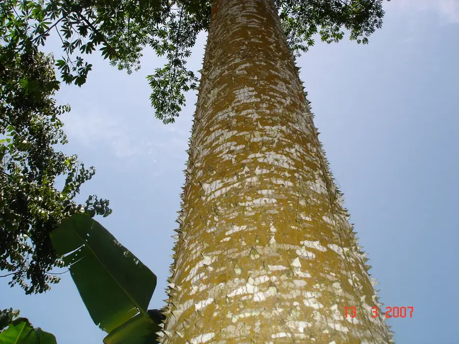
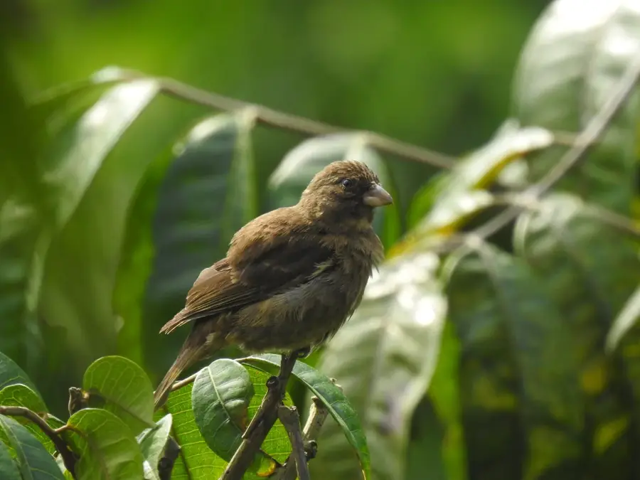
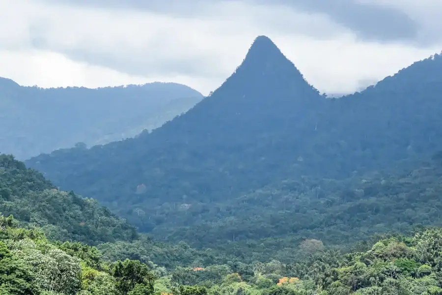
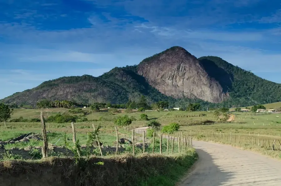
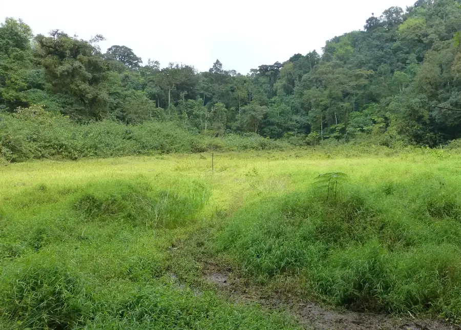
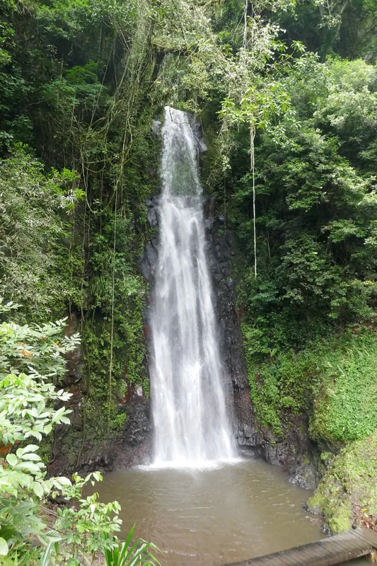
The São Tomé volcanic massif is the geological and geographical heart of the island. It extends from north to south, culminating in the Pico de São Tomé, the country's highest point. This massif is the result of millions of years of volcanic activity along the Cameroon Line, a chain of volcanoes stretching from the African mainland into the Atlantic. The massif consists of a complex arrangement of old volcanic cones, eroded craters, steep ridges, and deep, V-shaped valleys carved into the basalt rock by rivers. The topography is extremely rugged and has allowed for the development of isolated micro-ecosystems at different altitudes. This mountainous backbone is responsible for the island's humid climate, as it forces the moisture-laden trade winds to rise and precipitate rain. It is the source of all the island's major rivers and hosts the majority of the pristine rainforest.
- Location: São Tomé & Príncipe
- Top sights: São Tomé, Príncipe, and Annobón forests · Portuguese São Tomé and Príncipe
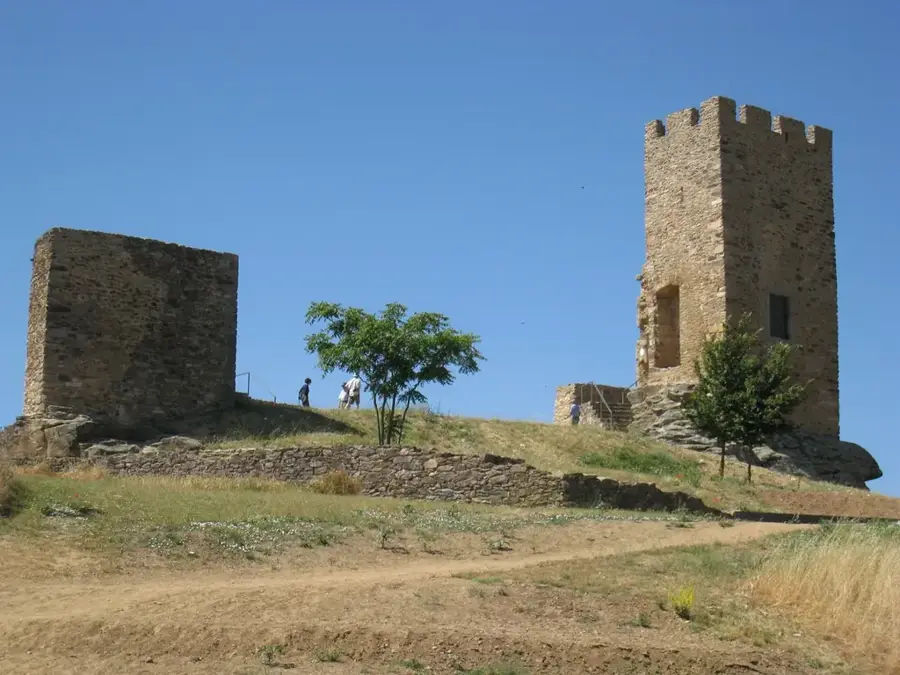
- Nearby: Henrique (Lembá) (6 km)
Best time to visit & climate
The most pleasant time to visit is Jul–Sep.
| Jan | Feb | Mar | Apr | May | Jun | Jul | Aug | Sep | Oct | Nov | Dec | |
|---|---|---|---|---|---|---|---|---|---|---|---|---|
| Avg °C | 27 | 28 | 28 | 28 | 27 | 26 | 25 | 25 | 26 | 26 | 27 | 27 |
| Rain mm | 125 | 115 | 162 | 176 | 129 | 44 | 23 | 19 | 35 | 100 | 142 | 130 |
📋 Practical info
Geography
Facts
- Part of the oceanic section of the Cameroon Line.
- The oldest rocks are about 13 million years old.
- The Pico de São Tomé reaches a height of 2,024 meters.
- The massif divides the island into a wetter southern half and a drier northern half.
- The steep valleys make road construction difficult, which contributes to isolation.
- The entire structure is a shield volcano rising from the seabed.
- Contains all three main ecosystems: lowland forest, mountain forest, and cloud forest.
Explore nearby
Notable places around
Route planner — Car & Motorhome
Where do you start? We build the route here, with stops and country notes along the way.
© OpenStreetMap contributors · OpenRouteService
Sights in the town São Tomé Volcanic Massif (2)
Sights nearby
Frequently asked questions
Can you climb the volcanic massif?
What is the local infrastructure like?
Do I need a permit?
Is the area safe?
What is the best season?
São Tomé Volcanic Massif: where is it located?
São Tomé Volcanic Massif: what is there to see?
São Tomé Volcanic Massif: when is the best time to visit?
São Tomé Volcanic Massif: why is it worth visiting?

Nearby cities


Nature
More places