Plizio Visual Lab
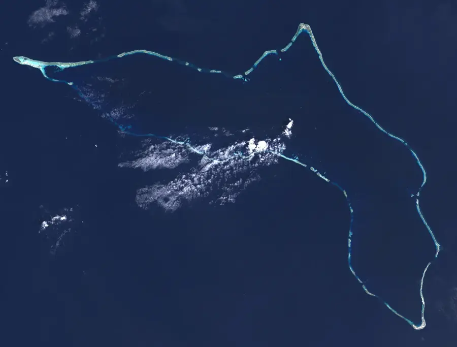
Runit Dome
Weather…
Water temperature…
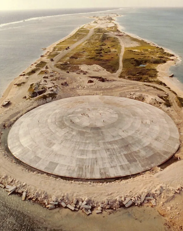
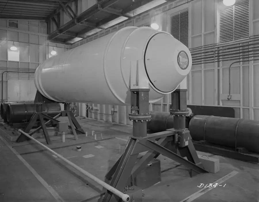
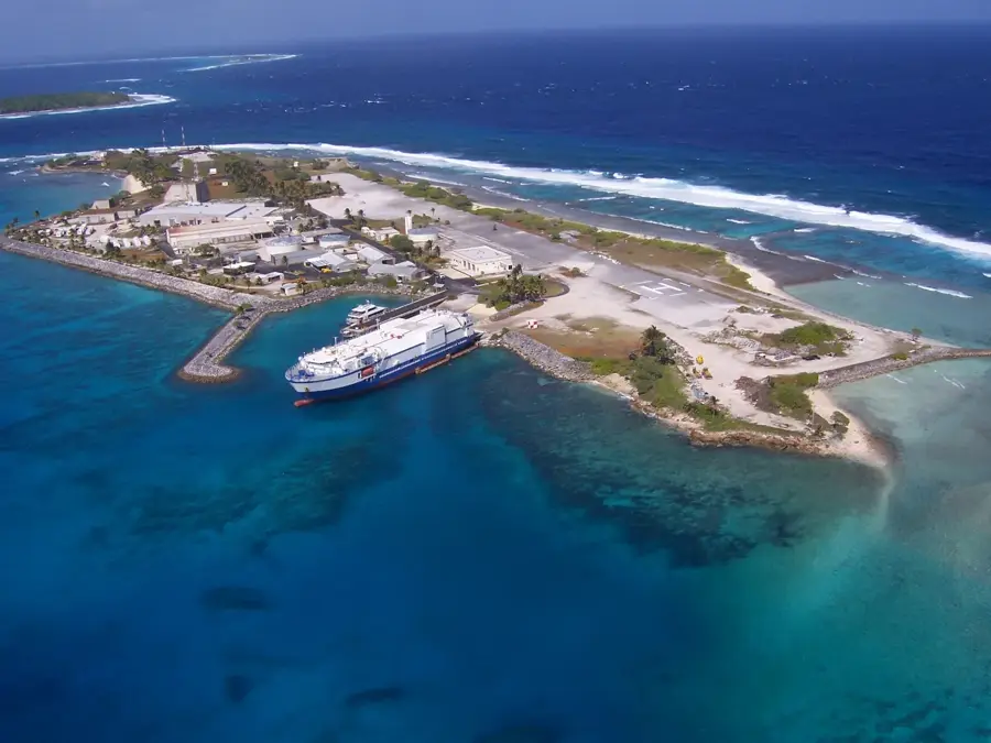
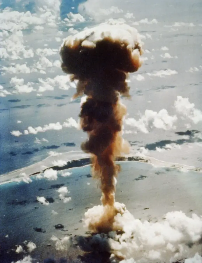
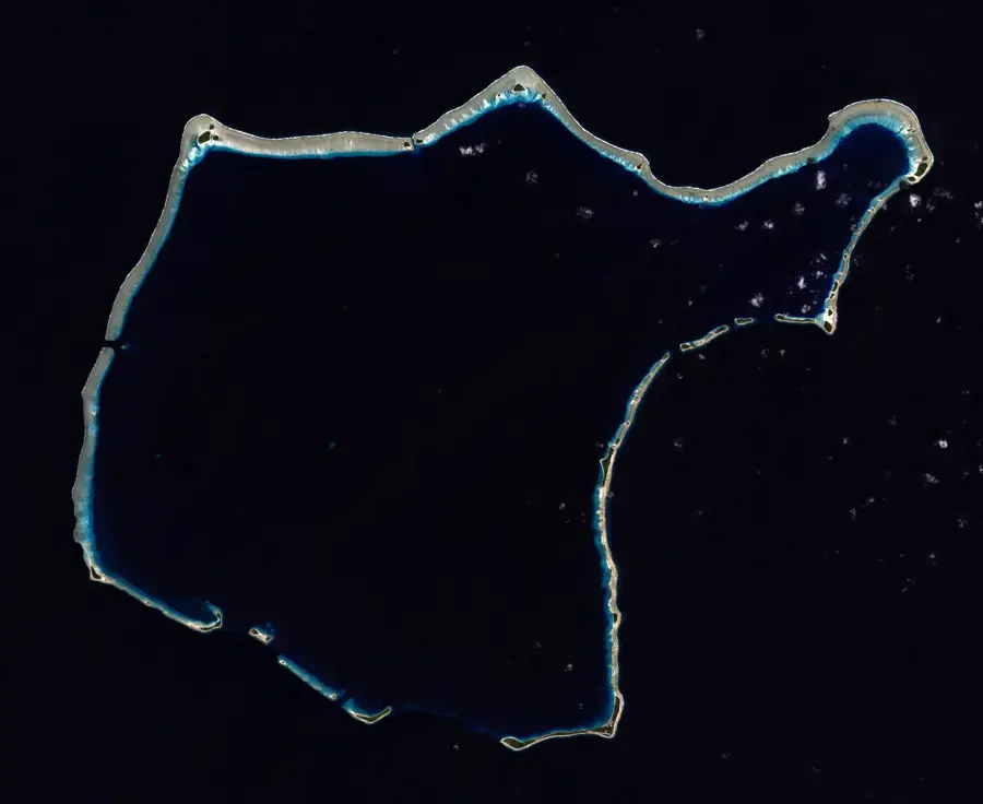
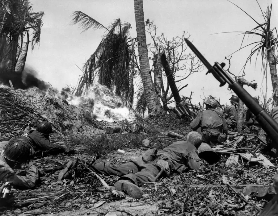
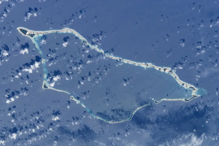
The Runit Dome, often referred to as "The Tomb," is a massive concrete structure on Engebi Island, part of the Enewetak Atoll, serving as a grim reminder of the Cold War's nuclear legacy. It was constructed in the late 1970s to encapsulate radioactive debris and contaminated soil collected from across the atoll following 43 nuclear tests conducted by the United States. The 45-centimeter-thick concrete shell covers the Cactus crater, which was created by an 18-kiloton explosion in 1958. Inside lies approximately 73,000 cubic meters of radioactive waste, including plutonium-239. Today, the dome is a subject of significant environmental concern, as it lacks a lined bottom, leading to fears that rising sea levels, ocean surges, and structural cracks could cause radioactive materials to leak into the surrounding marine ecosystem and the broader Pacific Ocean.
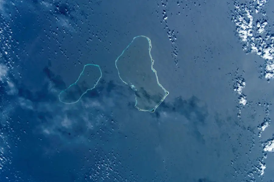
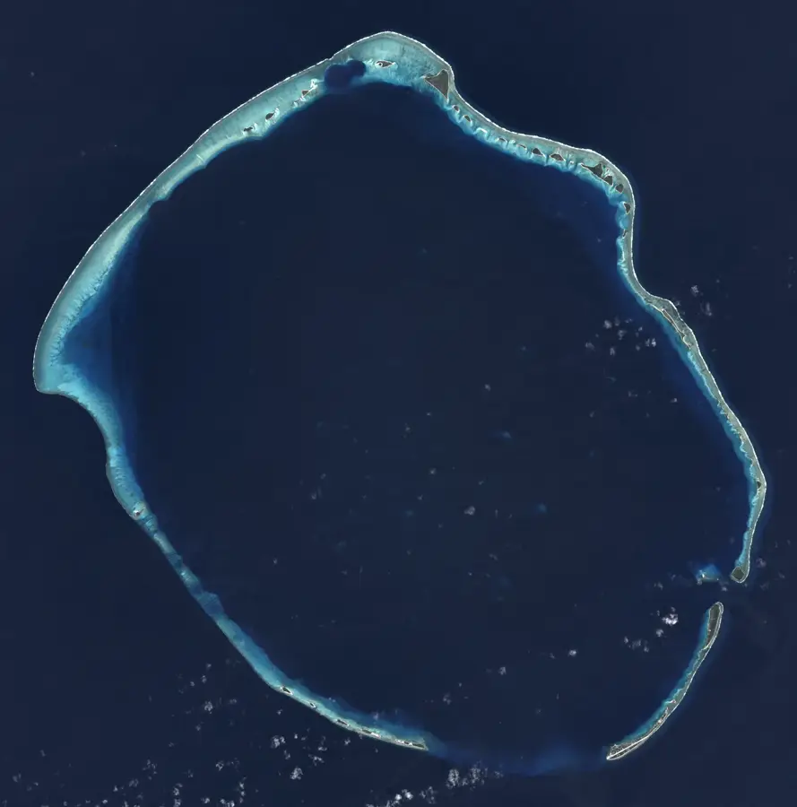
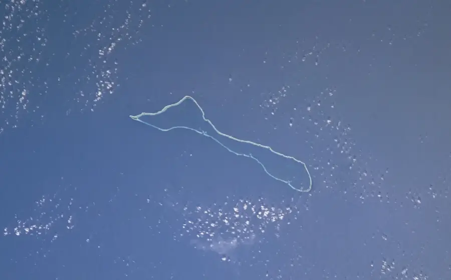
- Location: Marshall Islands
- Nearby: Enewetak (22 km)
Best time to visit & climate
The most pleasant time to visit is Jan–Mar.
| Jan | Feb | Mar | Apr | May | Jun | Jul | Aug | Sep | Oct | Nov | Dec | |
|---|---|---|---|---|---|---|---|---|---|---|---|---|
| Avg °C | 27 | 27 | 27 | 28 | 28 | 28 | 28 | 28 | 28 | 28 | 28 | 28 |
| Rain mm | 34 | 32 | 36 | 62 | 75 | 75 | 126 | 162 | 161 | 200 | 121 | 54 |
📋 Practical info
Geography
Facts
- Consists of 358 concrete panels, each 18 inches thick
- Contains approximately 73,000 cubic meters of radioactive waste
- Built over a crater created by the Cactus nuclear test
- Construction period lasted from 1977 to 1980
- The cleanup project cost approximately $218 million
- There is no protective lining at the bottom of the crater
Route planner — Car & Motorhome
Where do you start? We build the route here, with stops and country notes along the way.
© OpenStreetMap contributors · OpenRouteService
Sights in the town Runit Dome (1)
Sights nearby
Frequently asked questions
Is the Runit Dome a tourist attraction?
Can you visit the site?
What is under the dome?
Is the dome stable?
Why was it built?
Runit Dome: where is it located?
Runit Dome: when is the best time to visit?
Runit Dome: why is it worth visiting?

Nearby cities


History & landmarks
Nature

More places