Plizio Visual Lab
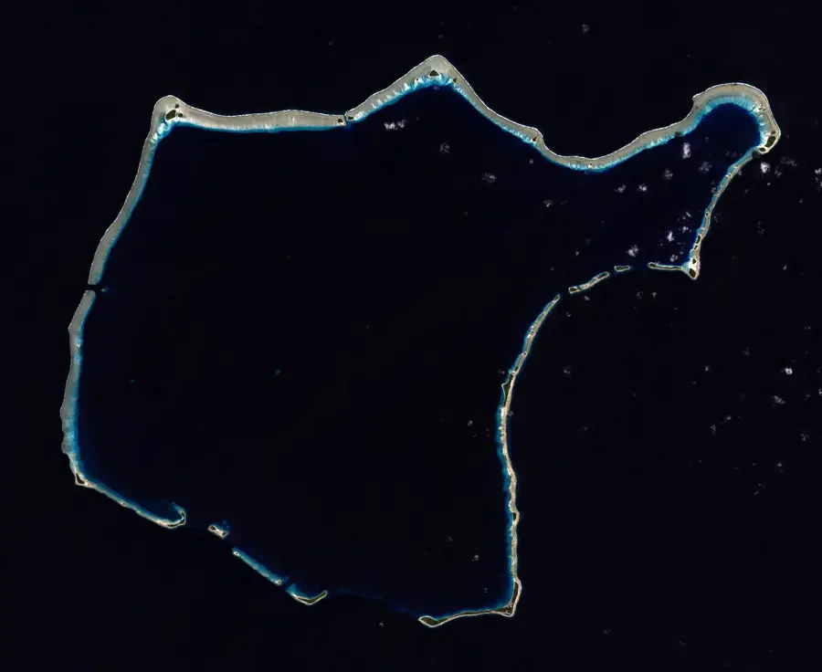
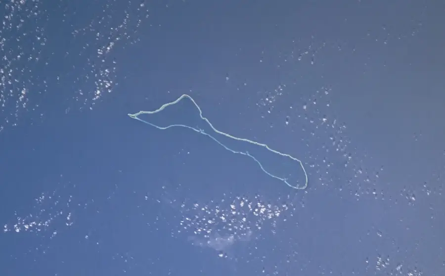
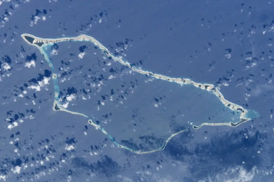
Eniwetok Memorial

Weather…
Water temperature…
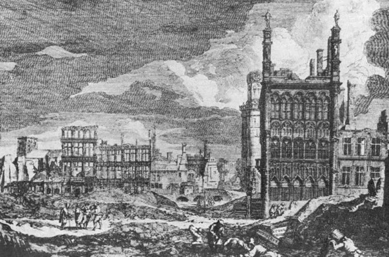
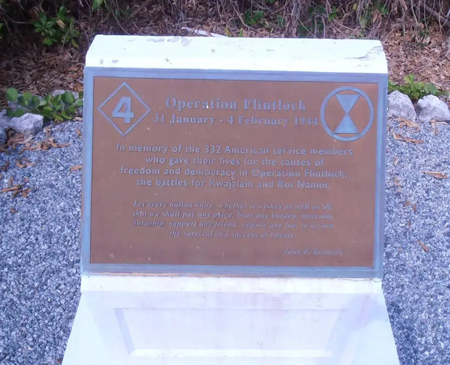
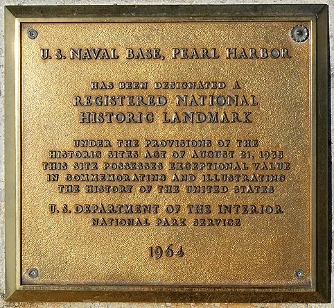
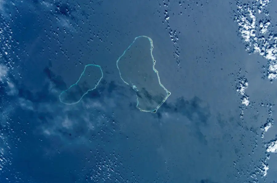
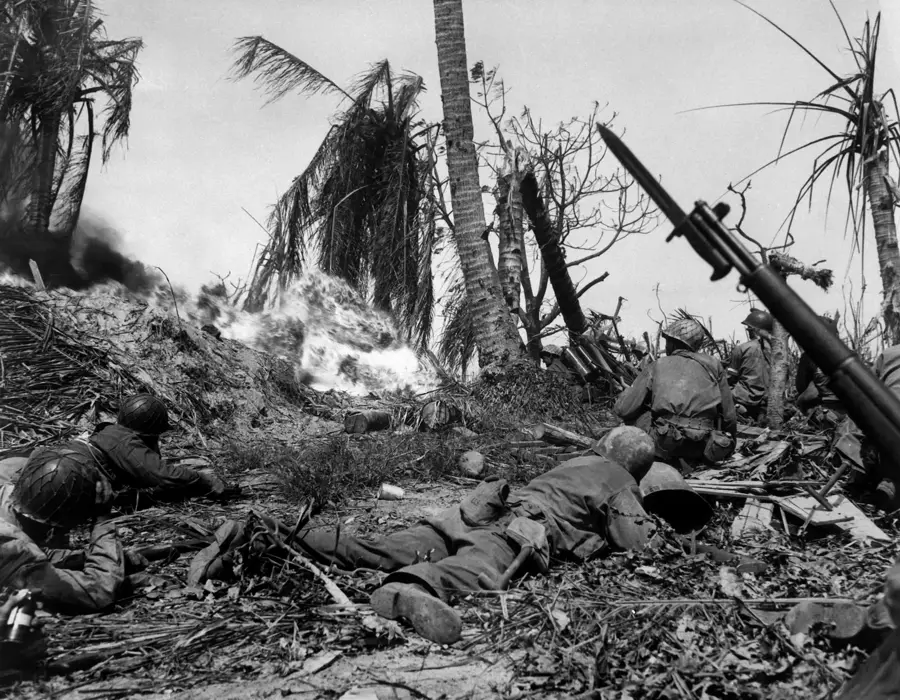
The Eniwetok Memorial stands as a poignant tribute to the American servicemen who fought and died during the intense Pacific campaigns of World War II. In February 1944, as part of Operation Catchpole, US forces launched a decisive assault to capture the atoll from Japanese occupation. The memorial site features simple yet dignified plaques inscribed with the names of those who fell, serving as a permanent record of their sacrifice. Positioned with a solemn view of the original invasion beaches, the site allows visitors to reflect on the historical significance of these remote coral islands. For veterans and their descendants, the memorial remains a sacred destination, preserving the memory of a pivotal chapter in military history amidst the vastness of Micronesia.
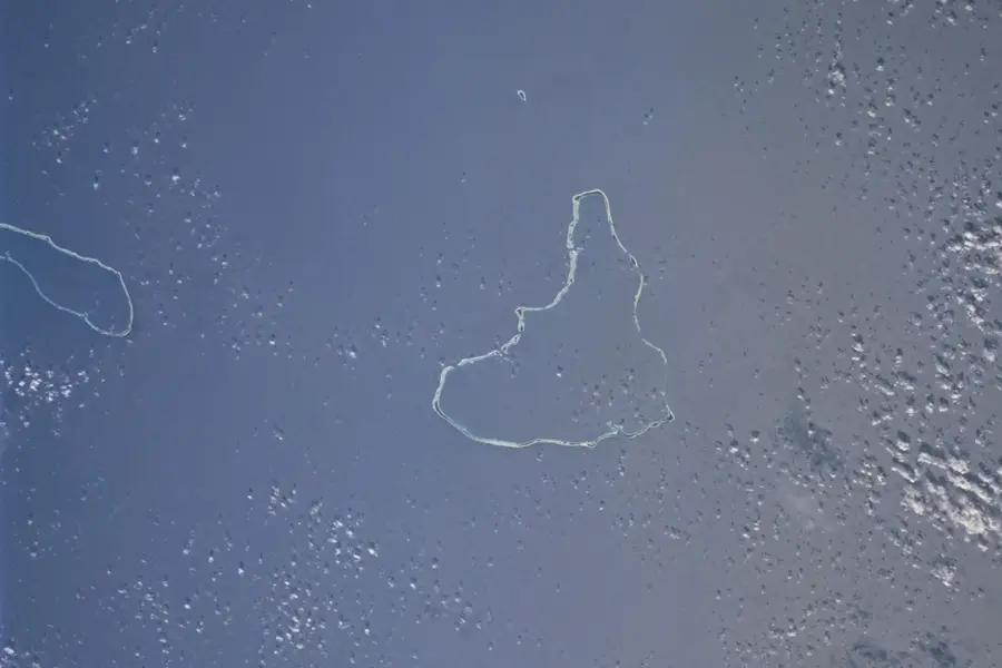
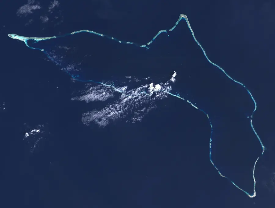
- Location: Marshall Islands
- Nearby: Enewetak (11 km)
Best time to visit & climate
The most pleasant time to visit is Jan–Mar.
| Jan | Feb | Mar | Apr | May | Jun | Jul | Aug | Sep | Oct | Nov | Dec | |
|---|---|---|---|---|---|---|---|---|---|---|---|---|
| Avg °C | 27 | 27 | 27 | 28 | 28 | 28 | 28 | 28 | 28 | 28 | 28 | 28 |
| Rain mm | 34 | 32 | 36 | 62 | 75 | 75 | 126 | 162 | 161 | 200 | 121 | 54 |
📋 Practical info
Geography
Facts
- The memorial commemorates the battle of February 1944.
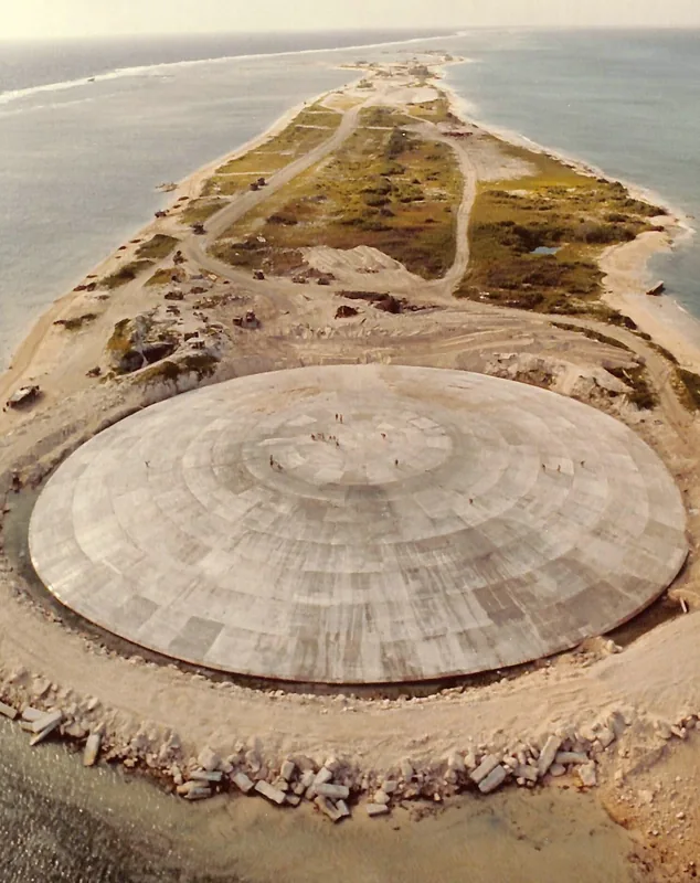
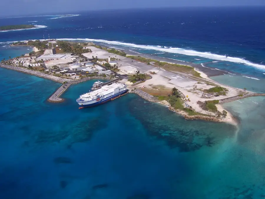
- It is located on Engebi Island.
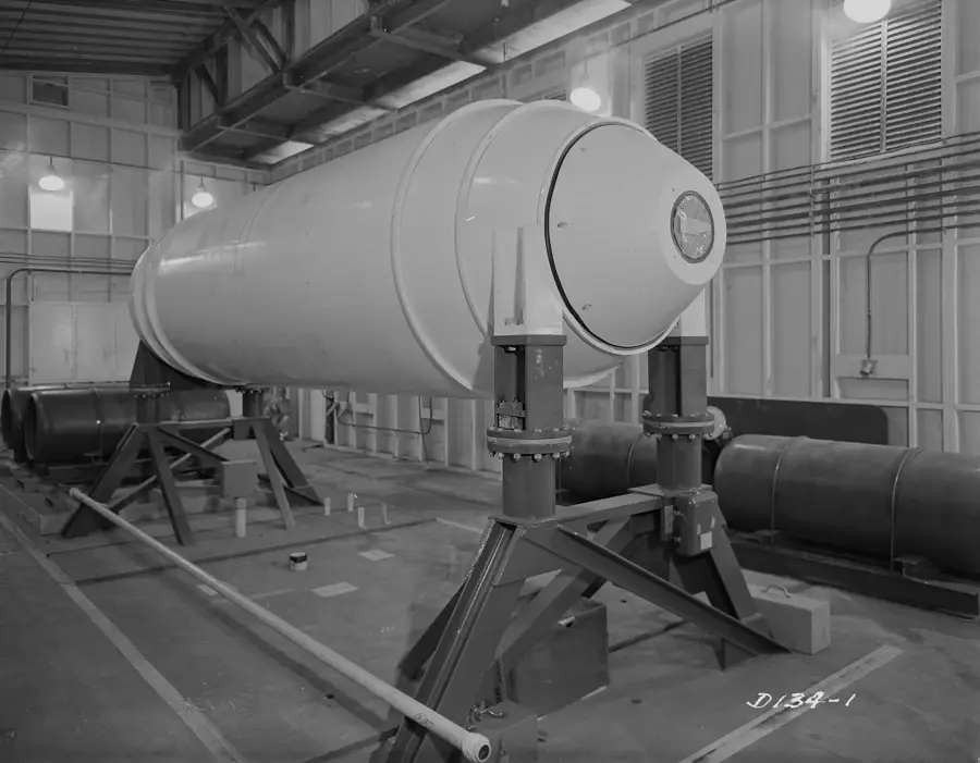
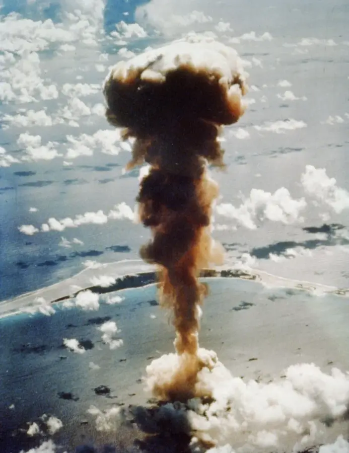
- Eniwetok was the site of Operation Ivy in 1952.
- The nuclear test released a 10-megaton hydrogen bomb.
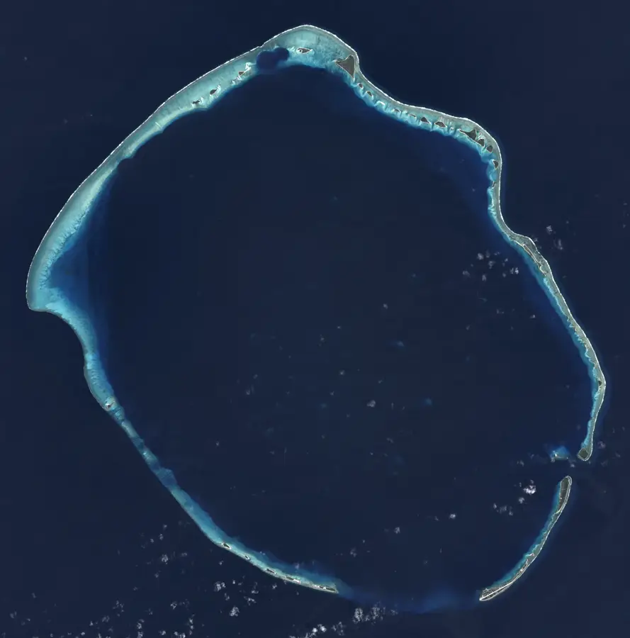
- The atoll has a land area of only 5.85 km².
- The Japanese garrison numbered about 2,500 soldiers.
Route planner — Car & Motorhome
Where do you start? We build the route here, with stops and country notes along the way.
© OpenStreetMap contributors · OpenRouteService
Sights nearby
Frequently asked questions
Is the memorial accessible?
What does the memorial commemorate?
How do you get there?
Are there guided tours?
Is it a beautiful place?
Eniwetok Memorial: where is it located?
Eniwetok Memorial: when is the best time to visit?
Eniwetok Memorial: why is it worth visiting?

Nearby cities


History & landmarks
Nature

More places