Plizio Visual Lab
Rongelap Atoll
Weather…
Water temperature…
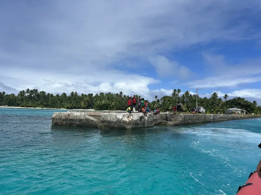
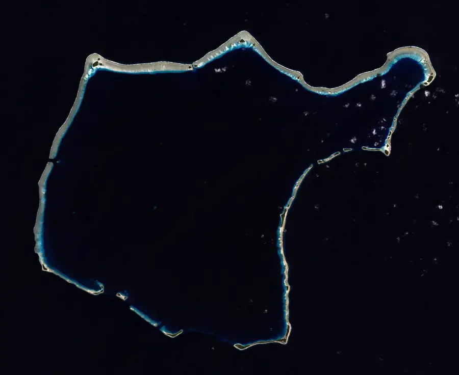
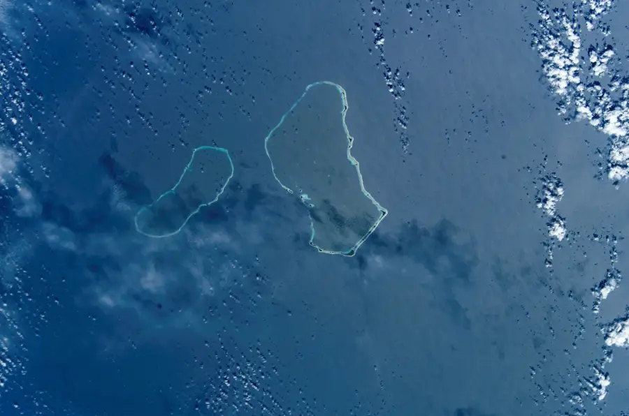
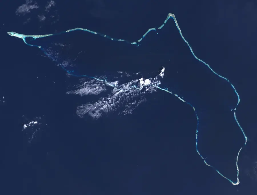
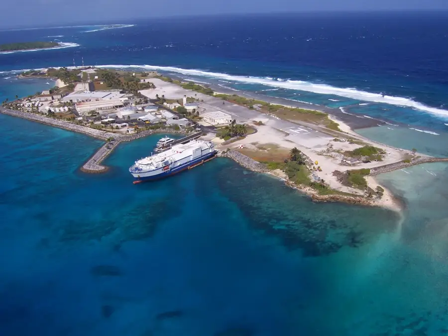
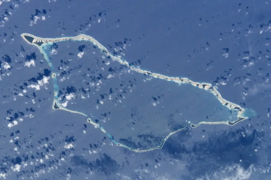
Rongelap Atoll is a remarkable natural sanctuary within the Ralik Chain of the Marshall Islands. Comprising 61 individual islands and islets, it encircles a vast lagoon covering more than 1,000 square kilometers, creating one of the largest atoll structures in the Pacific. The area is renowned for its exceptional underwater visibility, which often exceeds 30 meters, revealing pristine coral gardens that have flourished in the absence of significant human activity. This marine environment is a biodiversity hotspot, particularly noted for its wealth of mollusk species and diverse reef fish populations. The terrestrial parts of the atoll feature classic white-sand beaches and a resilient ecosystem of coconut palms and pandanus trees. Historically significant due to its proximity to mid-20th-century testing sites, the atoll has since become a focal point for studying ecological recovery and serves as a testament to the resilience of marine life in its most untouched and wild form.
Best time to visit & climate
The most pleasant time to visit is Jan–Mar.
| Jan | Feb | Mar | Apr | May | Jun | Jul | Aug | Sep | Oct | Nov | Dec | |
|---|---|---|---|---|---|---|---|---|---|---|---|---|
| Avg °C | 27 | 27 | 27 | 27 | 28 | 28 | 28 | 28 | 28 | 28 | 28 | 28 |
| Rain mm | 25 | 24 | 36 | 59 | 61 | 62 | 105 | 134 | 139 | 161 | 116 | 43 |
📋 Practical info
Geography
Facts
- Land area: 7.9 km².
- Lagoon area: 1,006 km².
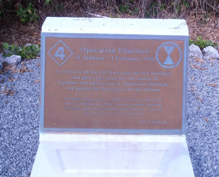
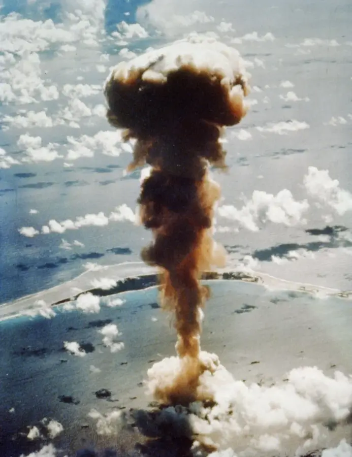
- Nuclear test: Castle Bravo (1954).
- Evacuated population: about 300.
- Coral cover: over 60%.
- Radiation levels: still elevated.
Route planner — Car & Motorhome
Where do you start? We build the route here, with stops and country notes along the way.
© OpenStreetMap contributors · OpenRouteService
Sights nearby
Frequently asked questions
Is it safe to visit Rongelap?
How is the underwater world?
Can you camp there?
Is there fresh water?
What do you need to keep in mind?
Rongelap Atoll: where is it located?
Rongelap Atoll: when is the best time to visit?
Rongelap Atoll: why is it worth visiting?

Nearby cities


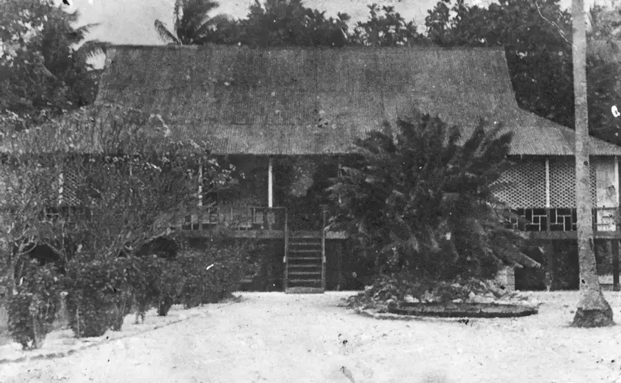
History & landmarks

Nature


More places