Plizio Visual Lab
Kwajalein Atoll
Weather…
Water temperature…
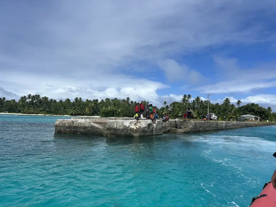
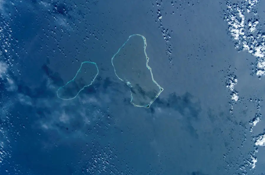
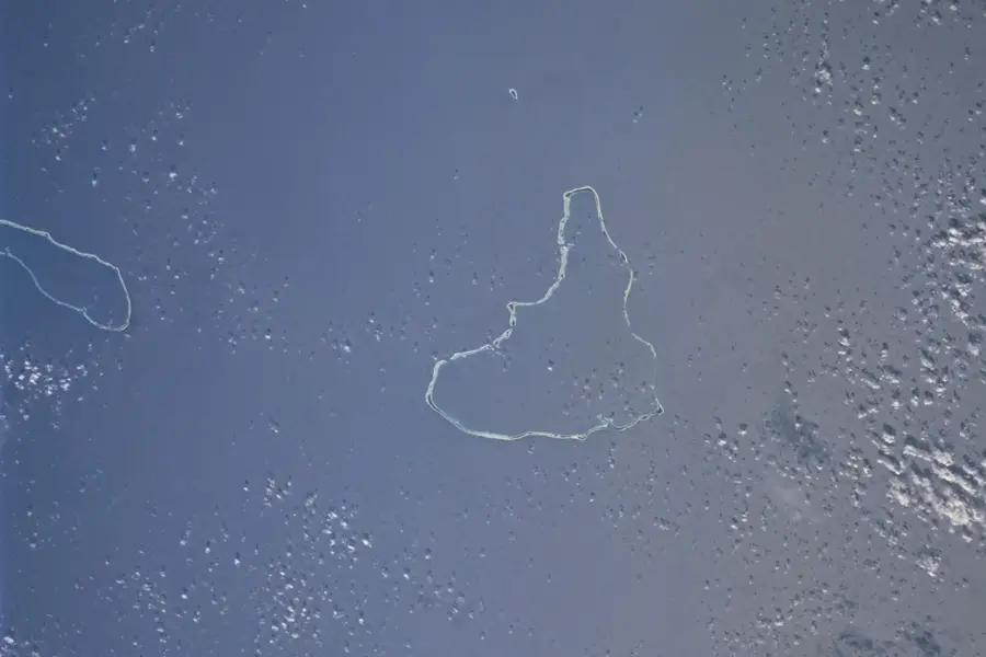
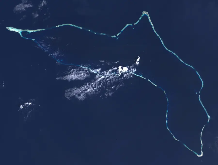
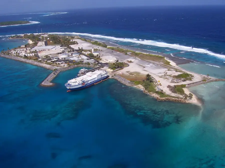
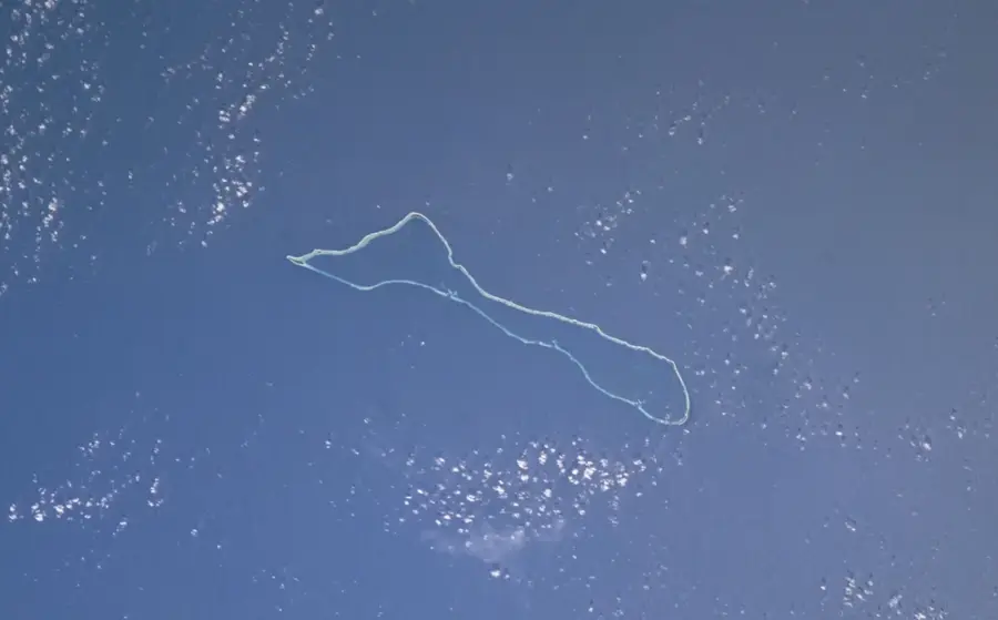
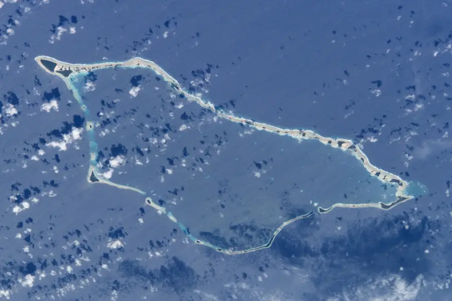
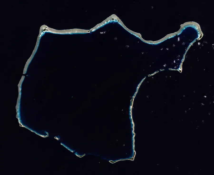
Kwajalein Atoll in the Marshall Islands is a geographic titan, distinguished as the world's largest coral atoll by the sheer size of its central lagoon. Covering an expansive 2,174 square kilometers, the lagoon is encircled by 97 small islands and islets that form a protective perimeter nearly 130 kilometers long. This unique environment supports a complex and thriving marine ecosystem, making it a critical sanctuary for various endangered sea turtle species and a vast array of coral and fish life. Beyond its biological significance, Kwajalein holds substantial historical weight, with the depths of its lagoon serving as a final resting place for numerous World War II shipwrecks and aircraft. Today, the atoll is a focal point for international scientific research and environmental conservation efforts aimed at preserving its delicate coral structures. It represents a sweeping intersection of natural beauty and modern history in one of the most remote regions of the central Pacific.
- Location: Marshall Islands
- Nearby: Ebeye Economic Hub (54 km)
Best time to visit & climate
The most pleasant time to visit is Jan–Mar.
| Jan | Feb | Mar | Apr | May | Jun | Jul | Aug | Sep | Oct | Nov | Dec | |
|---|---|---|---|---|---|---|---|---|---|---|---|---|
| Avg °C | 28 | 28 | 28 | 28 | 28 | 28 | 28 | 28 | 28 | 28 | 28 | 28 |
| Rain mm | 65 | 61 | 91 | 125 | 141 | 144 | 186 | 195 | 206 | 247 | 202 | 115 |
📋 Practical info
Geography
Facts
- Land area: 16.4 km².
- Lagoon area: 3,244 km².
- Number of islets: over 90.
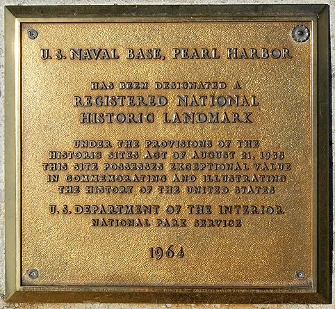
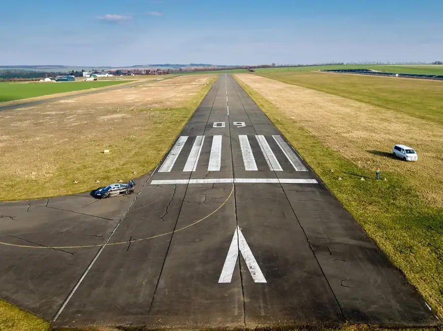
- Military base established: 1964.
- Shipwrecks in lagoon: 100.
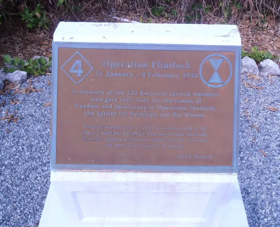
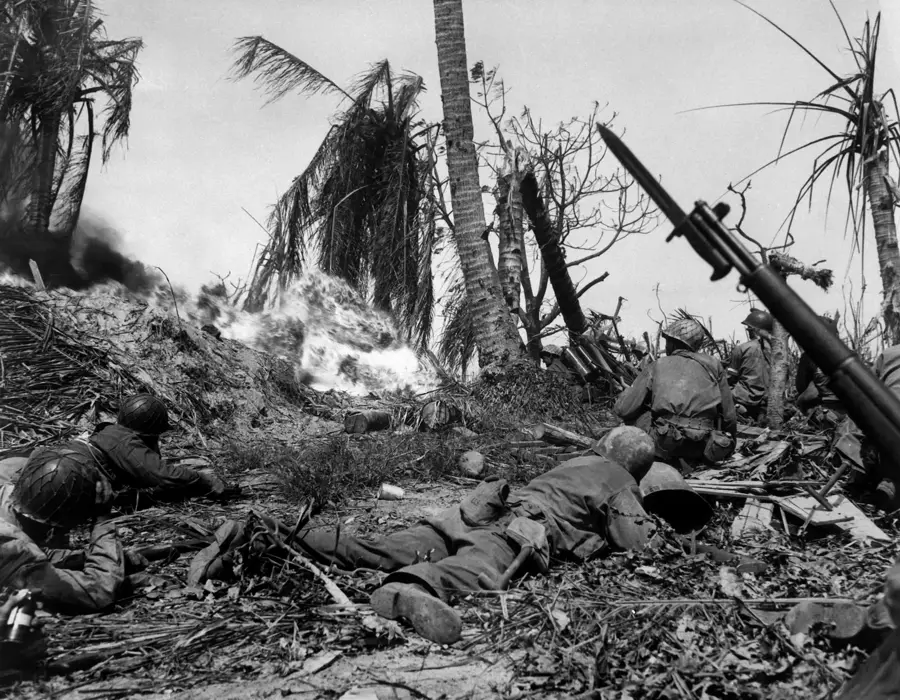
- Battle of Kwajalein: 1944.
Explore nearby
Notable places around
Route planner — Car & Motorhome
Where do you start? We build the route here, with stops and country notes along the way.
© OpenStreetMap contributors · OpenRouteService
Sights nearby
Frequently asked questions
Is Kwajalein accessible for tourists?
What is special there?
Is there public life there?
How is the diving?
Is it a typical vacation spot?
Kwajalein Atoll: where is it located?
Kwajalein Atoll: when is the best time to visit?
Kwajalein Atoll: why is it worth visiting?

Nearby cities


History & landmarks
Nature


More places