Plizio Visual Lab
Majuro

ℹ️Practical info — Majuro
▾
🌤 Weather — 5 days
📍 Nearby
Sights nearby
💡 Tips
- Shared taxis operate along the main road for a cheap flat rate; just flag one down.
- Dress modestly in town: women should keep their thighs covered and avoid wearing bikinis away from the beach.
- Bring enough US dollars in cash, as credit cards are mostly only accepted in large hotels or supermarkets.
- Head to Laura Beach at the far western end of the atoll for the best swimming, as the main town beaches are rocky.
🍽 Food
Incredibly fresh; try it at the larger hotel restaurants.
A rare local delicacy; ask at local diners if they have a fresh catch.
Often fried or baked, served as a traditional starch side in local eateries.
🛍 Shopping · 🧘 Quiet spots
Beautifully woven traditional mats and baskets, available at local craft cooperatives.
Intricately hand-woven bags; look for them in Majuro's specific handicraft shops.
A quiet, white sand beach at the remote end of the atoll, great for a peaceful picnic.
A small, calm spot in town to immerse yourself in Marshallese culture and history.
Water temperature…
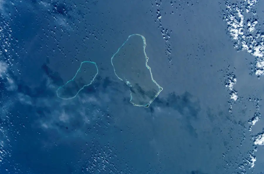
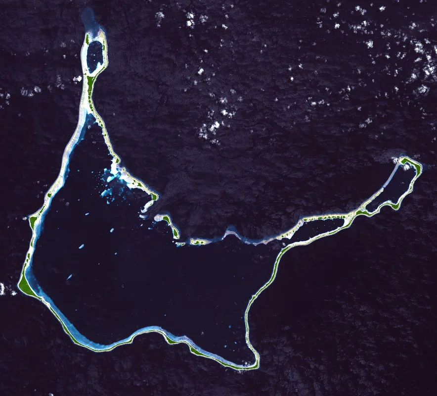
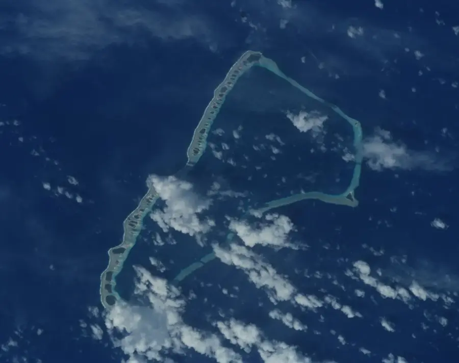
Majuro serves as the bustling capital and economic lifeline of the Marshall Islands, uniquely situated on a large coral atoll comprising 64 individual islets. Since the nation achieved independence in 1986, Majuro has concentrated the country's political power and commercial activity into its narrow, winding streets. The city forms a thin strip of land that separates the calm turquoise lagoon from the deep blue Pacific Ocean, creating a dramatic landscape where the water is never more than a few meters away. It is home to the country's primary international port and airport, making it the essential gateway for both travelers and international trade. With an average elevation of only 3 meters above sea level, the atoll is a poignant example of the environmental challenges facing low-lying island nations. Life here blends modern governance with traditional Marshallese customs and deep maritime heritage.
- Location: Marshall Islands
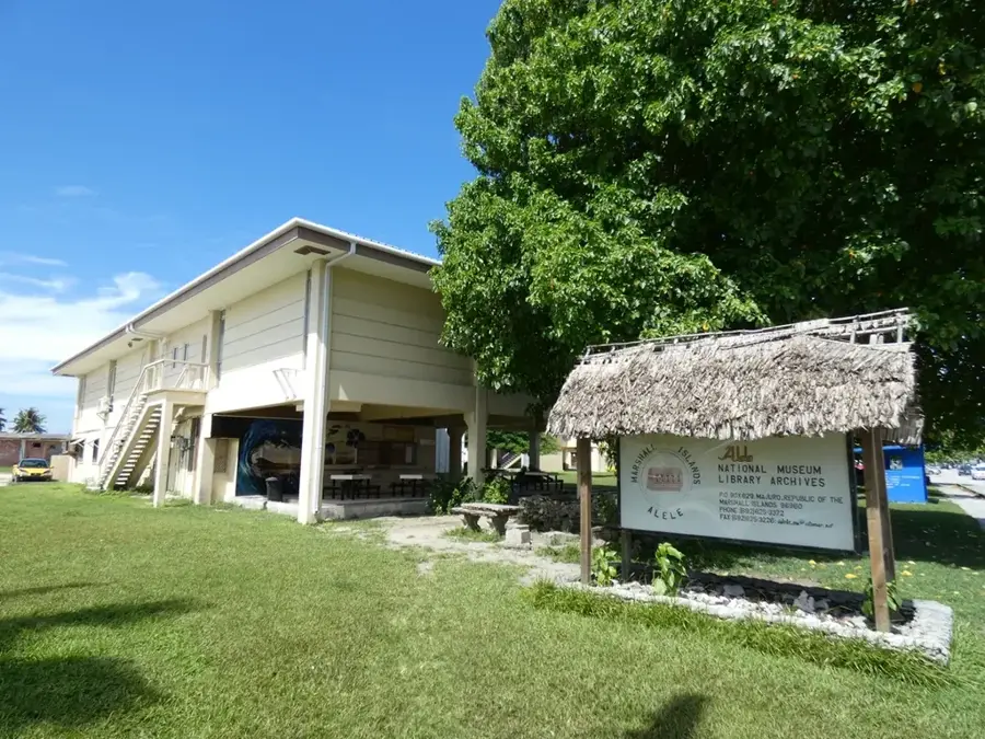
- Top sights: Alele National Museum · Cathedral of the Assumption
- Nearby: Ajeltake (25 km)
- Population: ~25.400 (2025)
Best time to visit & climate
The most pleasant time to visit is Jan–Mar.
| Jan | Feb | Mar | Apr | May | Jun | Jul | Aug | Sep | Oct | Nov | Dec | |
|---|---|---|---|---|---|---|---|---|---|---|---|---|
| Avg °C | 28 | 28 | 28 | 28 | 28 | 28 | 28 | 28 | 28 | 28 | 28 | 28 |
| Rain mm | 161 | 137 | 162 | 227 | 211 | 223 | 252 | 234 | 260 | 276 | 267 | 224 |
Geography
Facts
- Population: 27,797 (2011 census)
- Land area: 9.7 km²
- Number of islets in Majuro Atoll: 64
- Maximum elevation: 3 m above sea level
- Annual rainfall: 3,000 mm
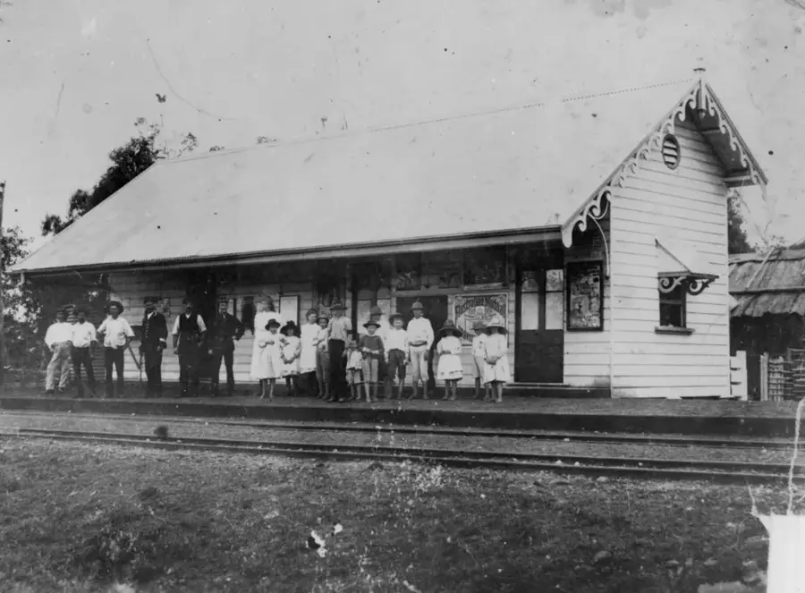
- Year of establishment as capital: 1885 (German protectorate)
Explore nearby
Notable places around
Route planner — Car & Motorhome
Where do you start? We build the route here, with stops and country notes along the way.
© OpenStreetMap contributors · OpenRouteService
Sights in the town Majuro (2)
Frequently asked questions
How many days should you plan for Majuro?
What is the best season?
How is the local infrastructure?
Are there family-friendly beaches?
What must you try?
Majuro: where is it located?
Majuro: what is there to see?
Majuro: when is the best time to visit?
Majuro: why is it worth visiting?

Nearby cities


History & landmarks


Nature


More places