Plizio Visual Lab
Likiep Highest Point
Weather…
Water temperature…
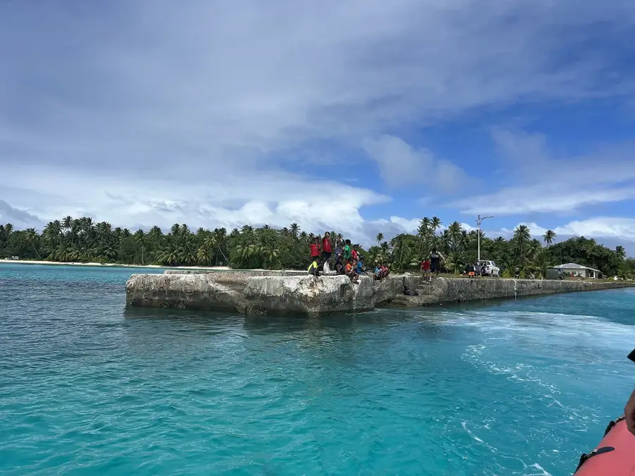
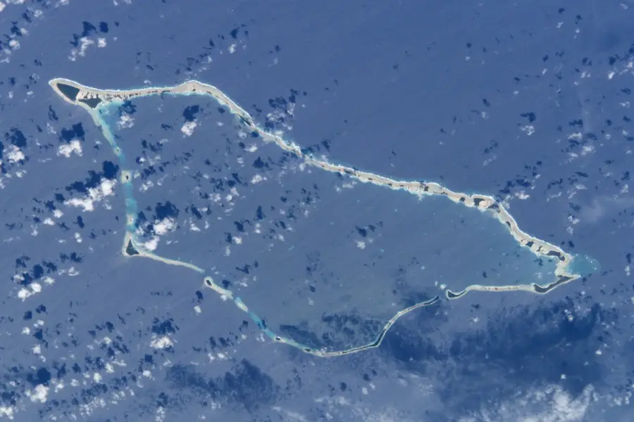
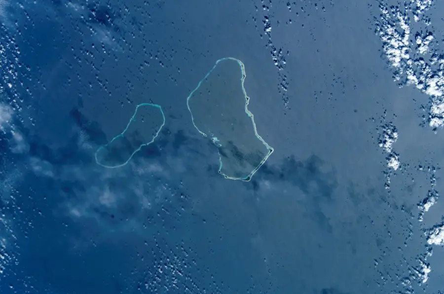
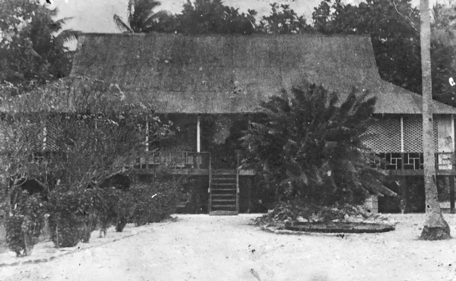
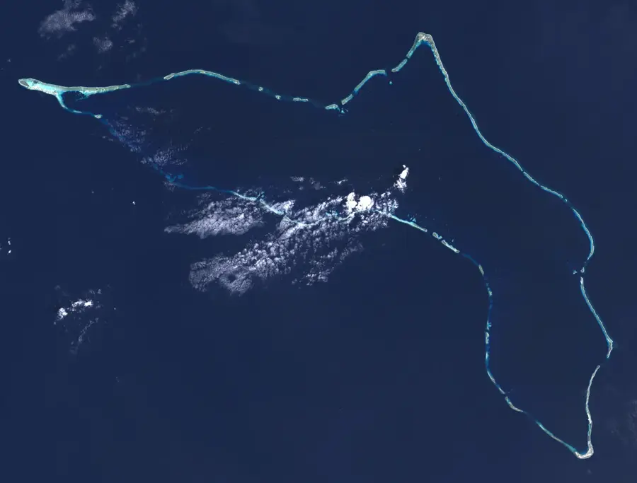
The highest point of the Marshall Islands is a geographic anomaly, reaching a peak elevation of only 10 meters above sea level. This unassuming spot is located on Likiep Atoll, part of the Ratak (Sunrise) Chain in the eastern portion of the archipelago. The foundation of this "summit" is composed of coral limestone, characteristic of the low-lying atoll geology found throughout the region. Likiep is renowned not just for its elevation record, but also for its rich colonial heritage, featuring some of the best-preserved wooden structures from the German colonial era. Standing at this point highlights the nation's extreme vulnerability to rising sea levels, making it a poignant symbol of environmental challenges. Despite its modest height, the location provides serene views of the surrounding turquoise lagoon and the vast, open Pacific Ocean, providing a sense of the immense isolation and natural beauty that defines life in this remote island nation.
Best time to visit & climate
The most pleasant time to visit is Jan–Mar.
| Jan | Feb | Mar | Apr | May | Jun | Jul | Aug | Sep | Oct | Nov | Dec | |
|---|---|---|---|---|---|---|---|---|---|---|---|---|
| Avg °C | 27 | 27 | 27 | 28 | 28 | 28 | 28 | 28 | 28 | 28 | 28 | 28 |
| Rain mm | 41 | 36 | 65 | 90 | 101 | 110 | 137 | 158 | 155 | 194 | 152 | 69 |
📋 Practical info
Geography
Facts
- highest elevation: 10 m above sea level
- number of islands: 63
- land area: 10.26 km²
- population: approx. 500
- lagoon area: 424 km²
- atoll length: 35 km
Explore nearby
Notable places around
Route planner — Car & Motorhome
Where do you start? We build the route here, with stops and country notes along the way.
© OpenStreetMap contributors · OpenRouteService
Sights nearby
Frequently asked questions
Where is the highest point on Likiep?
Can you hike here?
Is there a lookout?
What is there to see?
Is the place hard to find?
Likiep Highest Point: where is it located?
Likiep Highest Point: when is the best time to visit?
Likiep Highest Point: why is it worth visiting?

Nearby cities


History & landmarks
Nature


More places