Plizio Visual Lab
Ralik Chain

Weather…
Water temperature…
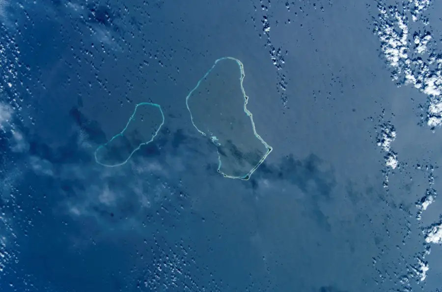
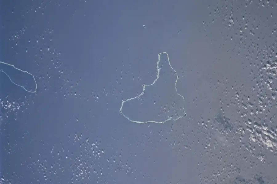
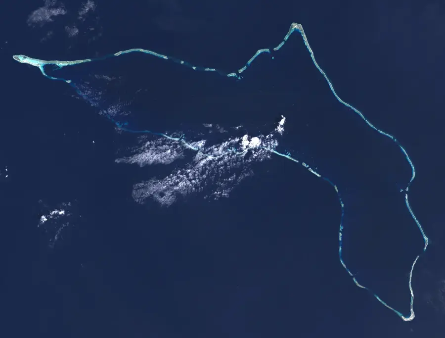
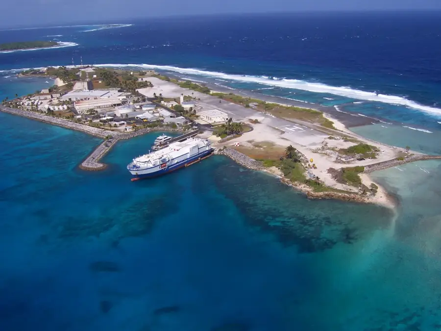
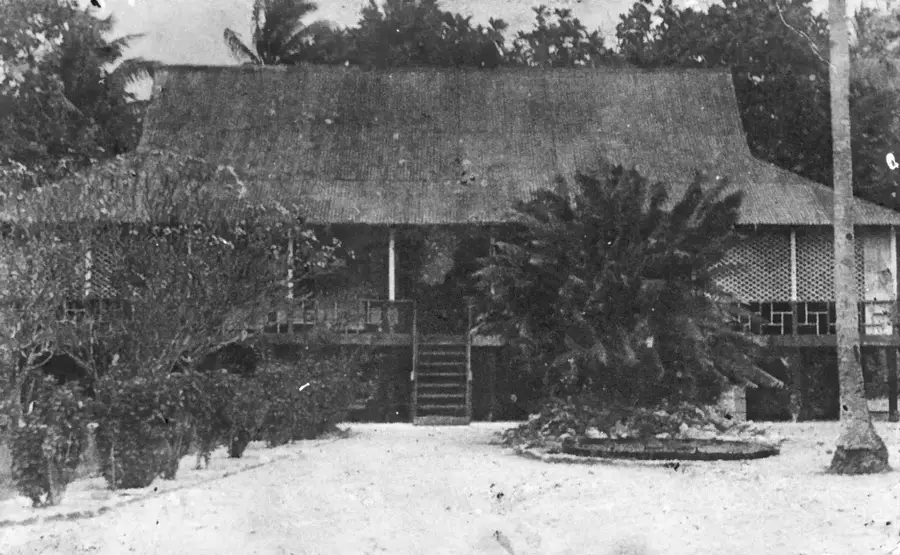
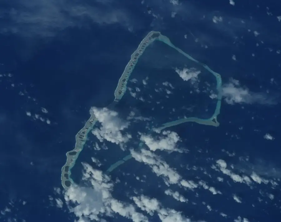
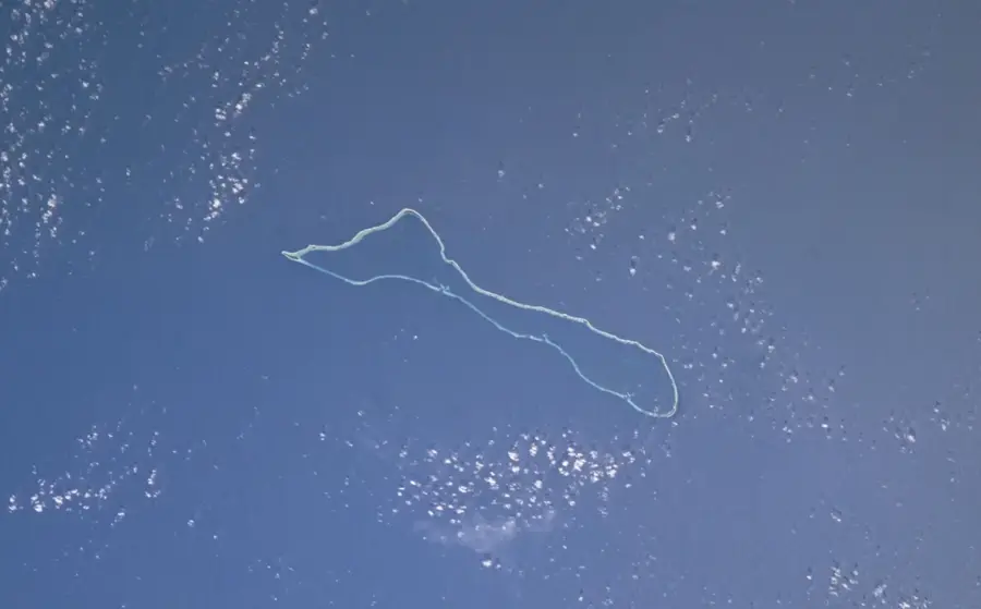
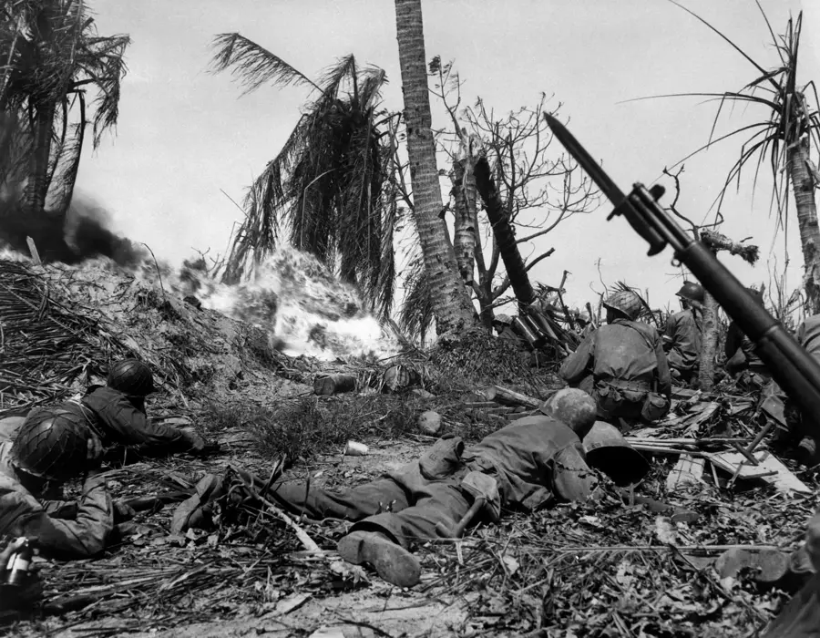
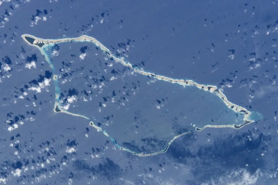
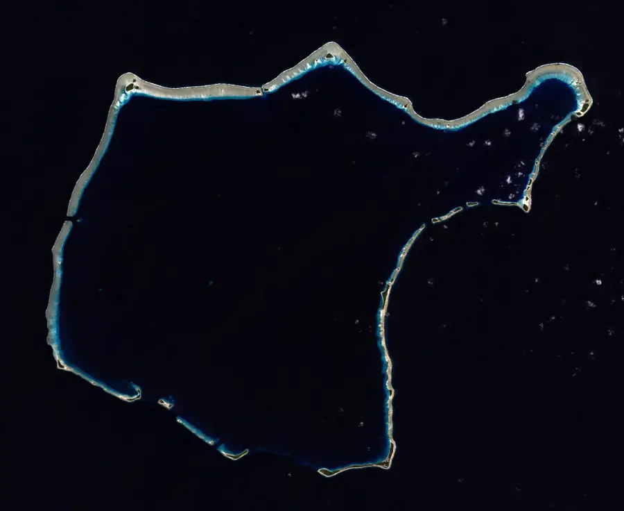
The Ralik Chain, meaning "Sunset" in the Marshallese language, constitutes the western arc of the Marshall Islands in the central Pacific. It comprises 15 atolls and several isolated islands that follow the line of a vast undersea mountain range. Key components of this chain include Kwajalein, famous as the world's largest coral atoll, as well as Jaluit and Enewetak. These low-lying coral formations are separated from the eastern Ratak Chain by deep ocean basins, creating a unique geographic isolation. The region is steeped in history, from ancient Micronesian stick-chart navigation to significant events during World War II and subsequent era atomic testing. Nowadays, the Ralik Chain is recognized for its pristine marine environments, animated coral reefs, and the enduring resilience of the local culture, offering a glimpse into the delicate balance of life on a remote Pacific atoll.
Best time to visit & climate
The most pleasant time to visit is Jan–Mar.
| Jan | Feb | Mar | Apr | May | Jun | Jul | Aug | Sep | Oct | Nov | Dec | |
|---|---|---|---|---|---|---|---|---|---|---|---|---|
| Avg °C | 28 | 28 | 28 | 28 | 28 | 28 | 28 | 28 | 28 | 28 | 28 | 28 |
| Rain mm | 106 | 97 | 120 | 182 | 202 | 158 | 208 | 188 | 225 | 243 | 230 | 174 |
📋 Practical info
Geography
Facts
- chain length: approx. 1,300 km
- number of atolls: 15
- isolated islands: 3
- highest point: below 3 m
- largest lagoon: Kwajalein
- western chain
Explore nearby
Notable places around
Route planner — Car & Motorhome
Where do you start? We build the route here, with stops and country notes along the way.
© OpenStreetMap contributors · OpenRouteService
Sights in the town Ralik Chain (1)
Sights nearby
Frequently asked questions
What is the Ralik Chain?
What does Ralik mean?
Which famous atolls are here?
Is the water clear here?
Are there resorts there?
Ralik Chain: where is it located?
Ralik Chain: when is the best time to visit?
Ralik Chain: why is it worth visiting?

Nearby cities


History & landmarks

Nature


More places