Plizio Visual Lab
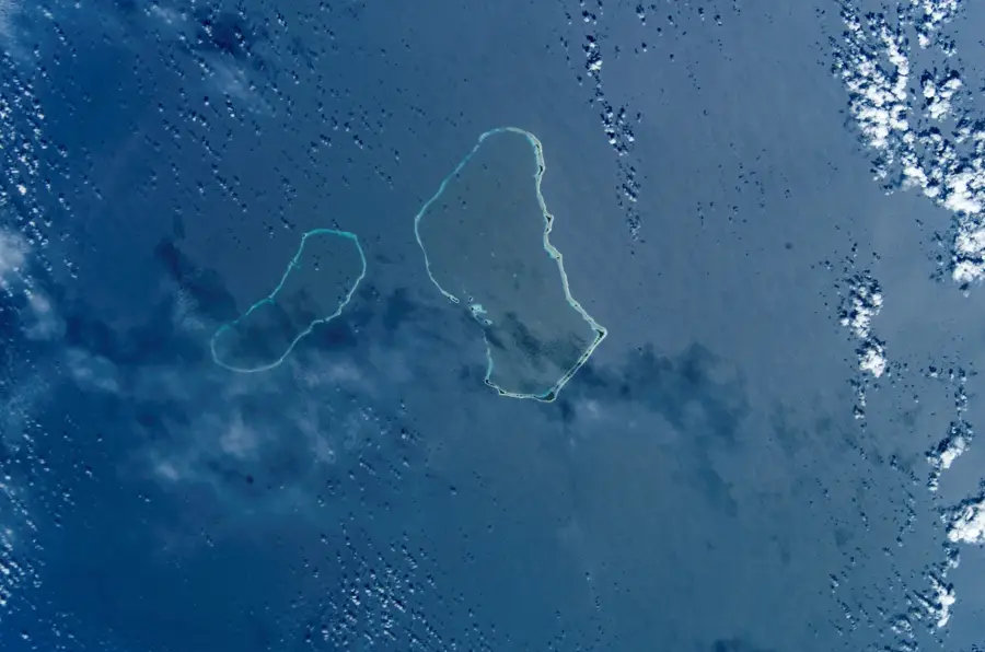
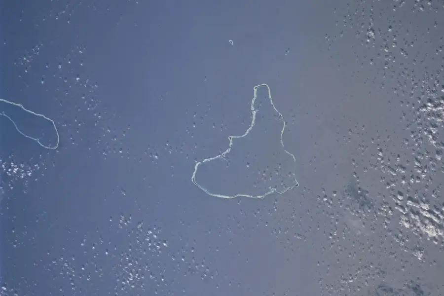
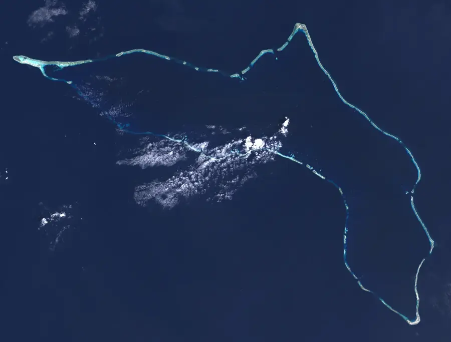
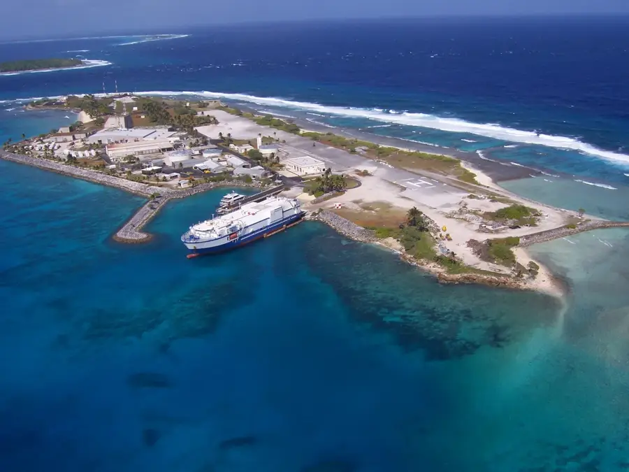
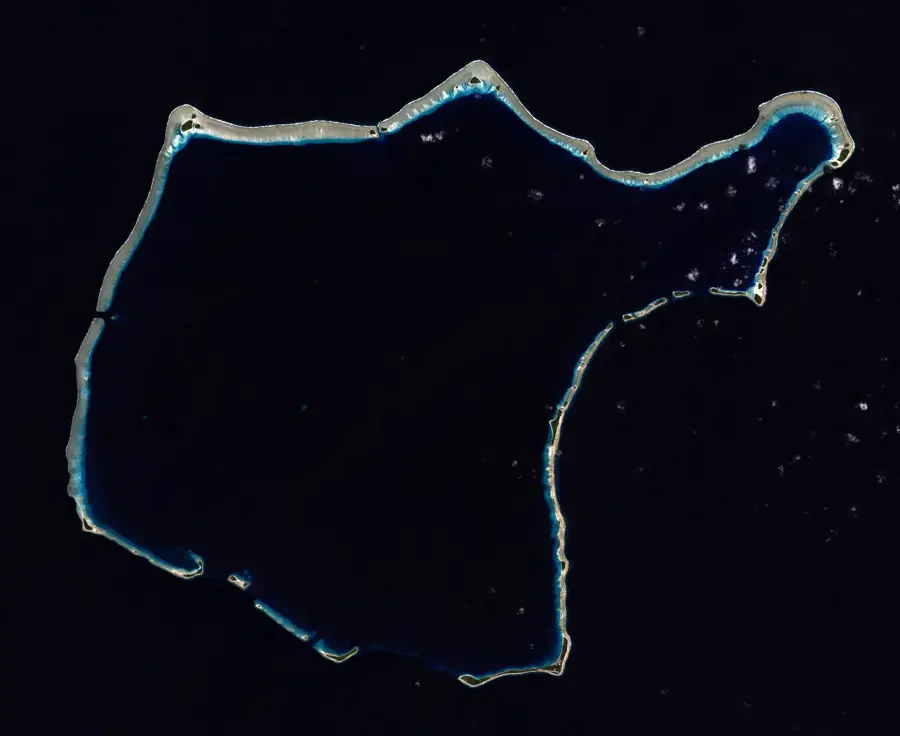
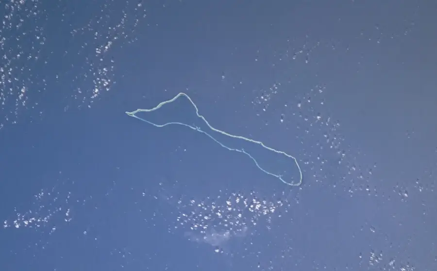
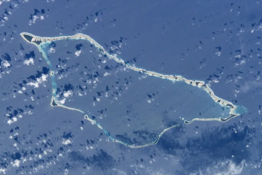
Enewetak Atoll
Weather…
Water temperature…
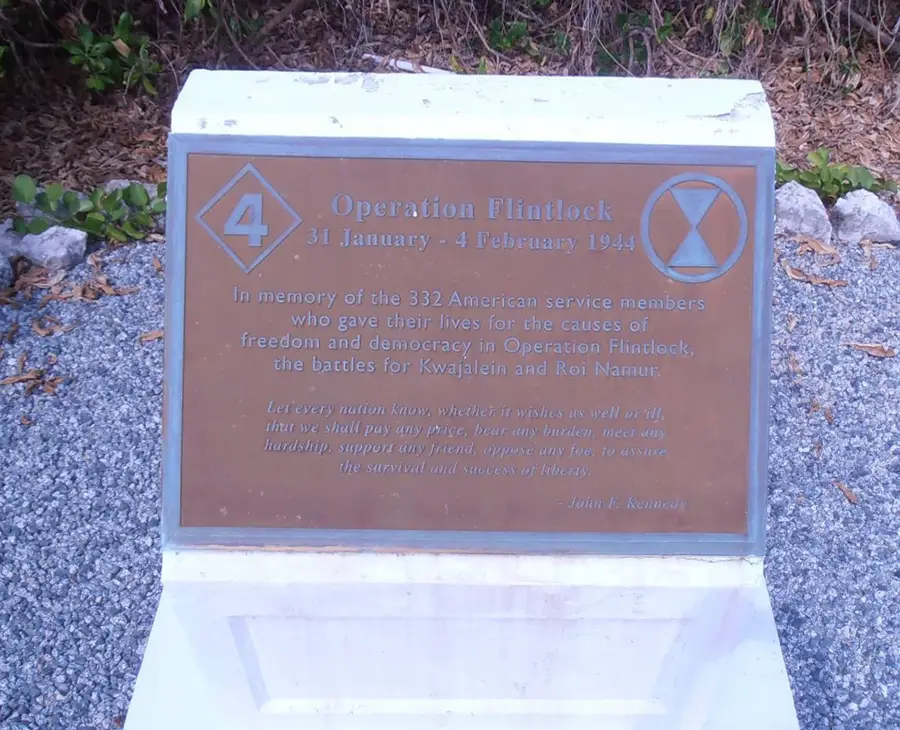
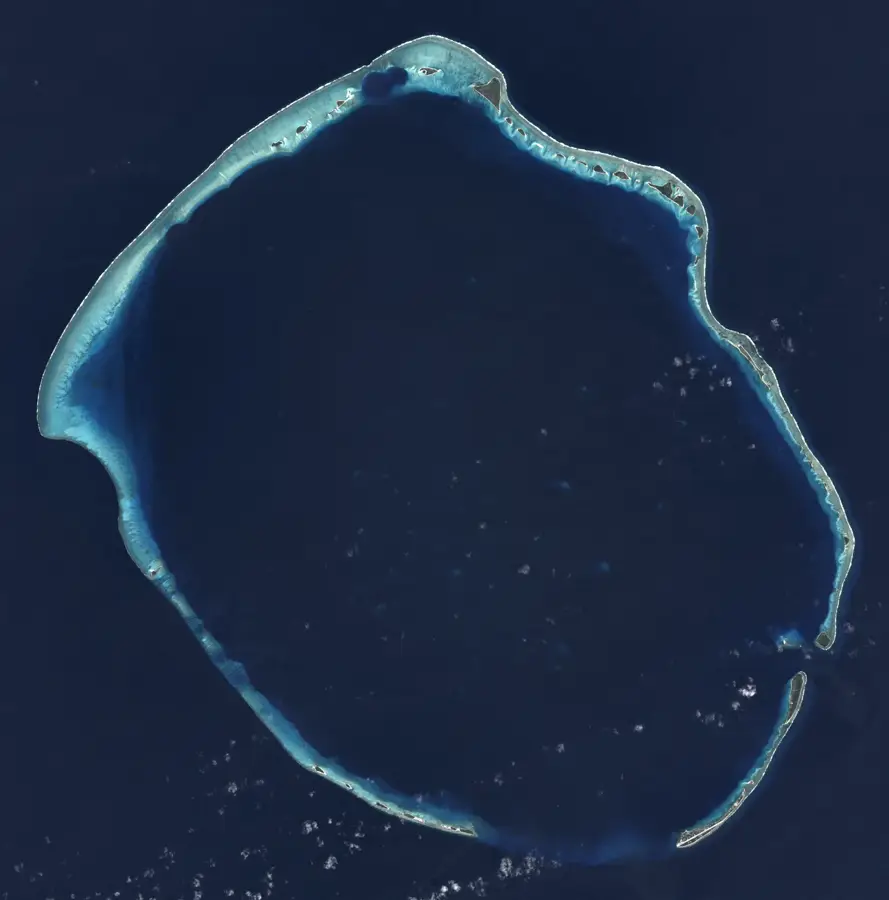
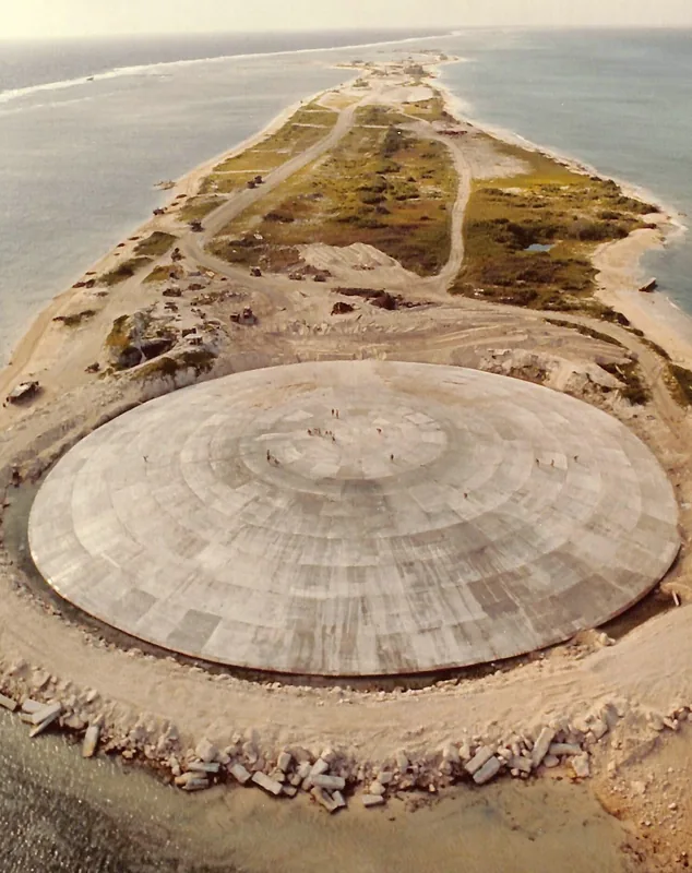
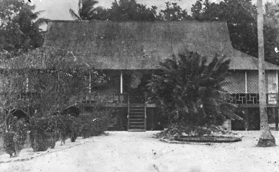
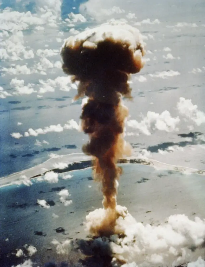
Enewetak Atoll is a remote coral atoll in the Marshall Islands that became a central site for U.S. nuclear testing during the Cold War. Between 1948 and 1958, a total of 43 nuclear tests were conducted here, including the historic Ivy Mike test in 1952, which was the world's first successful hydrogen bomb explosion. The environmental impact of these tests was profound, leading to the complete destruction of some islands within the atoll. The most visible reminder of this era is the Runit Dome, a massive concrete structure on Runit Island built in the late 1970s to contain radioactive debris and contaminated soil from the cleanup operations. The displacement of the native Enewetak people and their long struggle to return to their ancestral home remains a poignant chapter in the history of the nuclear age and its lasting ecological consequences.
Best time to visit & climate
The most pleasant time to visit is Jan–Mar.
| Jan | Feb | Mar | Apr | May | Jun | Jul | Aug | Sep | Oct | Nov | Dec | |
|---|---|---|---|---|---|---|---|---|---|---|---|---|
| Avg °C | 27 | 27 | 27 | 28 | 28 | 28 | 28 | 28 | 28 | 28 | 28 | 28 |
| Rain mm | 34 | 32 | 36 | 62 | 75 | 75 | 126 | 162 | 161 | 200 | 121 | 54 |
📋 Practical info
Geography
Facts
- The first US hydrogen bomb test (Mike) took place on November 1, 1952.
- Mike's explosive yield was 10.4 megatons of TNT.
- Elugelab Island was completely destroyed by the explosion.
- A total of 43 tests were conducted on Enewetak.
- The pre-evacuation population was about 140 people.
- Cleanup costs exceeded 100 million USD.
Explore nearby
Notable places around
Route planner — Car & Motorhome
Where do you start? We build the route here, with stops and country notes along the way.
© OpenStreetMap contributors · OpenRouteService
Sights in the town Enewetak Atoll (1)
Sights nearby
Frequently asked questions
What is Enewetak Atoll?
Can it be visited today?
Is it dangerous?
Why is it historically important?
Is it family-friendly?
Enewetak Atoll: where is it located?
Enewetak Atoll: when is the best time to visit?
Enewetak Atoll: why is it worth visiting?

Nearby cities


History & landmarks
Nature

More places