Plizio Visual Lab
Kwajalein Battlefield
Weather…
Water temperature…
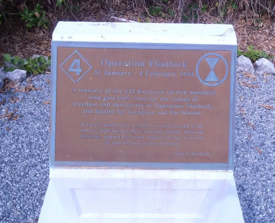
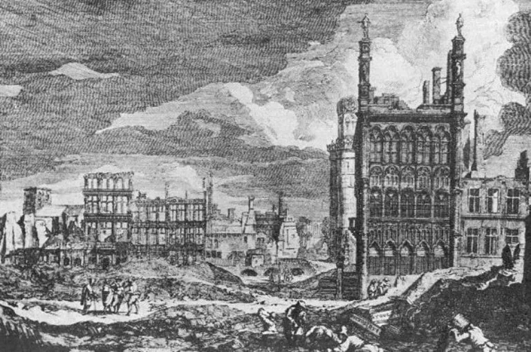
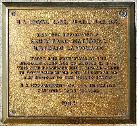
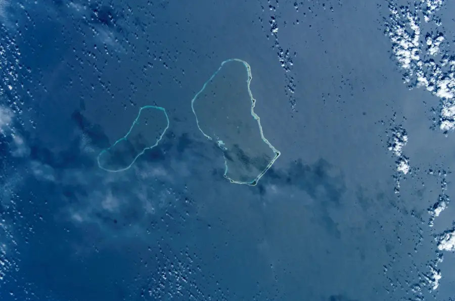
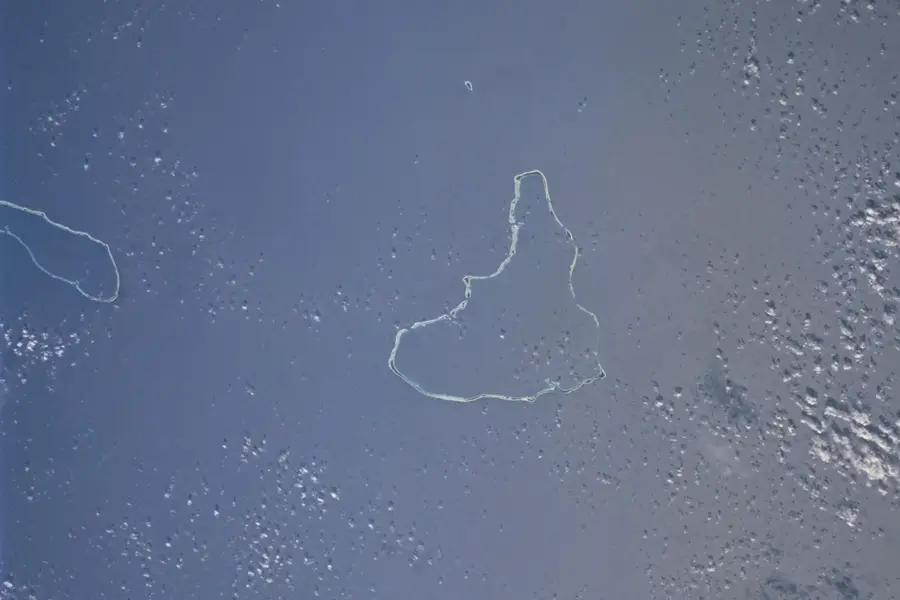
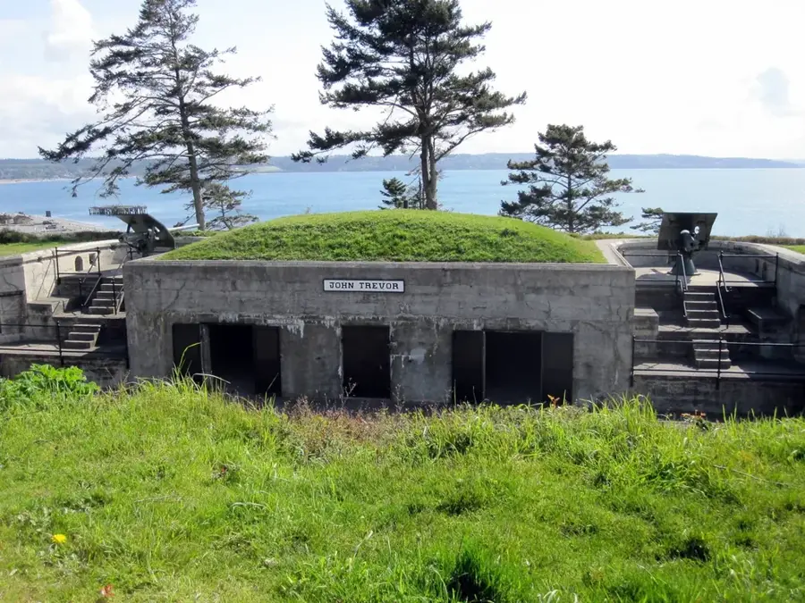
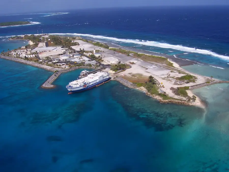
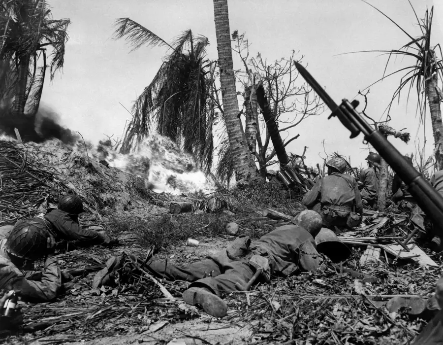
The Kwajalein Atoll was the site of a pivotal battle during the Pacific War in February 1944, known as part of Operation Flintlock. US forces launched a massive amphibious assault to seize the atoll from Japanese occupation, marking the first time American troops captured territory that had been part of the pre-war Japanese outer defense perimeter. The fierce fighting resulted in the deaths of over 8,000 Japanese defenders and established a vital logistical base for further Allied advances toward the Philippines and Japan. Currently, Kwajalein Island serves as a critical node for the Ronald Reagan Ballistic Missile Defense Test Site, supporting missile intercepts and space surveillance. Despite its modern military role, the atoll’s waters are a vast underwater museum, containing dozens of sunken WWII ships and aircraft that remain significant for historical research and specialized diving.
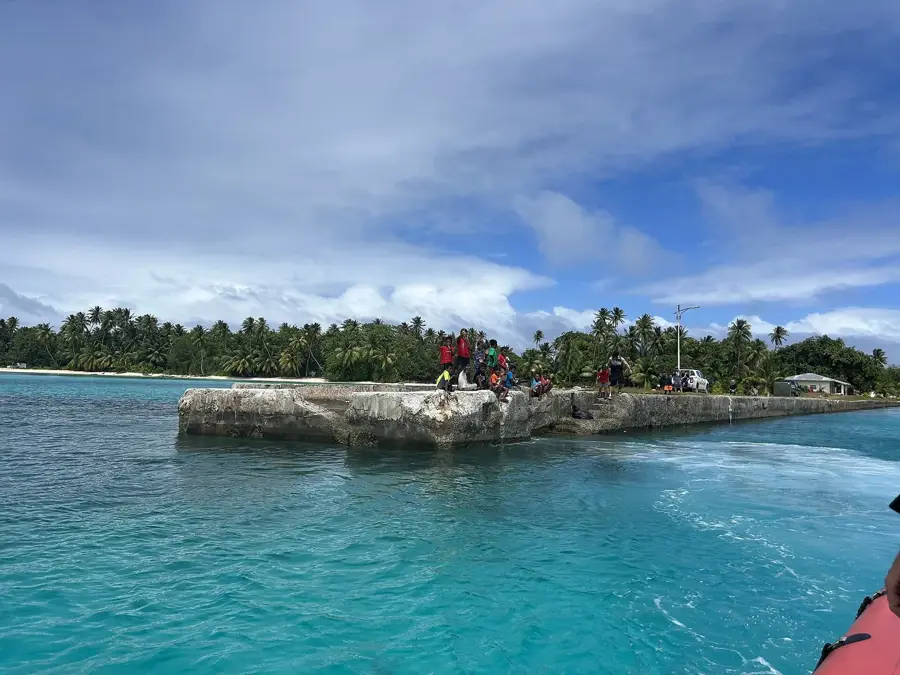
- Location: Marshall Islands
- Top sights: Glass Beach · Camp Hamilton Beach · Coral Sands Beach
- Nearby: Ebeye Economic Hub (7 km)
Best time to visit & climate
The most pleasant time to visit is Jan–Mar.
| Jan | Feb | Mar | Apr | May | Jun | Jul | Aug | Sep | Oct | Nov | Dec | |
|---|---|---|---|---|---|---|---|---|---|---|---|---|
| Avg °C | 28 | 28 | 28 | 28 | 28 | 28 | 28 | 28 | 28 | 28 | 28 | 28 |
| Rain mm | 85 | 79 | 105 | 149 | 165 | 149 | 197 | 192 | 219 | 250 | 222 | 143 |
📋 Practical info
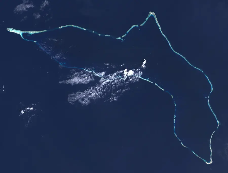
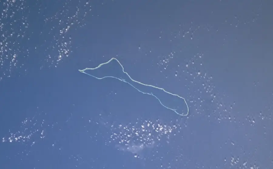
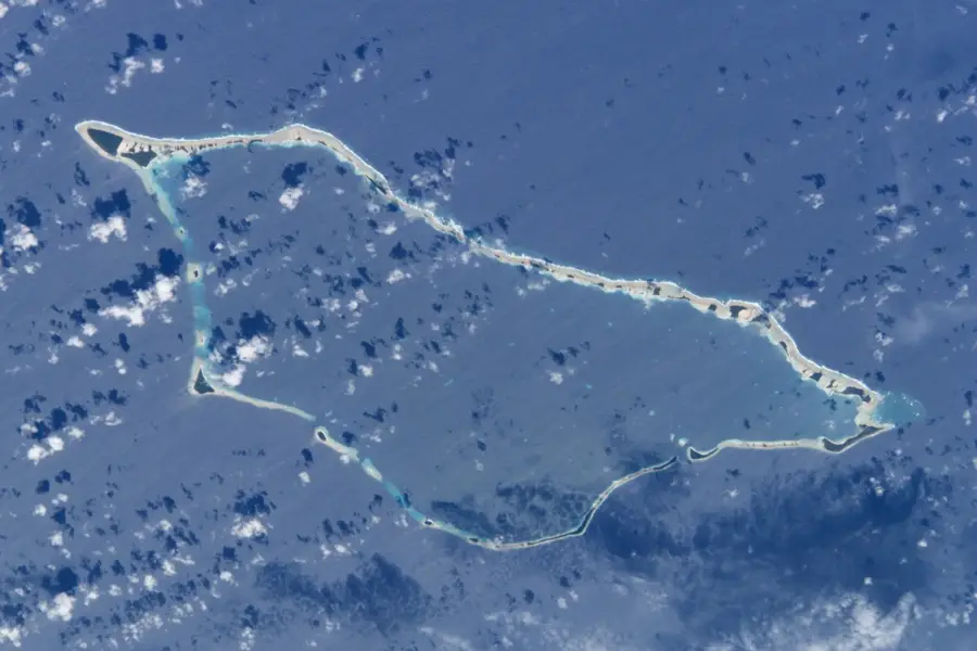
Geography
Facts
- The battle lasted 4 days, from Jan 31 to Feb 3, 1944.
- Over 8,000 Japanese soldiers were stationed on Kwajalein.
- US casualties were 372 killed and 1,582 wounded.
- Around 7,000 Japanese defenders died.
- The atoll has a land area of 16.39 km².
- Bunkers on Kwajalein Island have concrete walls up to 3 m thick.
Explore nearby
Notable places around
Route planner — Car & Motorhome
Where do you start? We build the route here, with stops and country notes along the way.
© OpenStreetMap contributors · OpenRouteService
Sights in the town Kwajalein Battlefield (7)
Coral Sands Beach
Beach with white coral sand on Kwajalein. Suitable for swimming and sunbathing.
Richardson Theater
Theater on Kwajalein showing films and live performances. Community gathering spot.
Kwajalein Art Guild
Gallery on Kwajalein exhibiting and selling local artwork. Creative hub of the island.
Sights nearby
Frequently asked questions
What is the Kwajalein battlefield?
Can it be visited?
Why is it historically important?
Are there guided tours?
What is there to see?
Kwajalein Battlefield: where is it located?
Kwajalein Battlefield: what is there to see?
Kwajalein Battlefield: when is the best time to visit?
Kwajalein Battlefield: why is it worth visiting?

Nearby cities


History & landmarks
Nature


More places