Plizio Visual Lab
Laura

ℹ️Practical info — Laura
▾
🌤 Weather — 5 days
📍 Nearby
Sights nearby
💡 Tips
- Laura is connected to the capital by a single long road; renting a car or taking a shared taxi is the best way to get there.
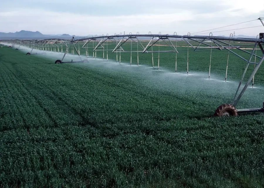
- This area is less populated and greener, convenient for seeing the agricultural side of Majuro.
- Visit the Laura Beach Park for one of the most popular sandy beaches on the atoll.
- Tap water here is sourced from the underground freshwater lens, but it is still safer to boil or filter it.
- Weekends can be busy with locals coming from downtown Majuro for picnics.
🍽 Food
Roadside stands offering local bananas, papayas, and cucumbers grown in Laura's fertile soil.
Locals often grill chicken and fish on open fires near the beach park during weekends.
Buy a freshly cut drinking coconut from a farm stand along the main road.
🛍 Shopping · 🧘 Quiet spots
You can buy fresh agricultural produce directly from some of the small farms in the area.
Small woven items sometimes sold by families living near the main beach.
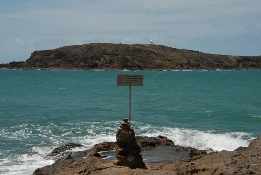
Walk all the way to the tip of the island to find a quiet spot looking out to the open ocean.
Take a peaceful walk along the sandy paths cutting through lush banana and breadfruit groves.
Water temperature…
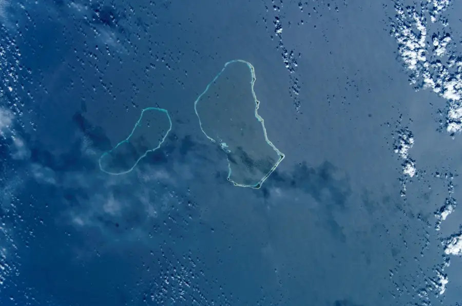
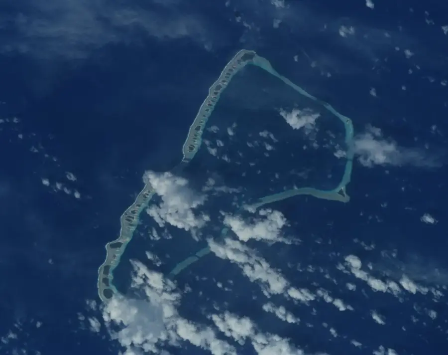
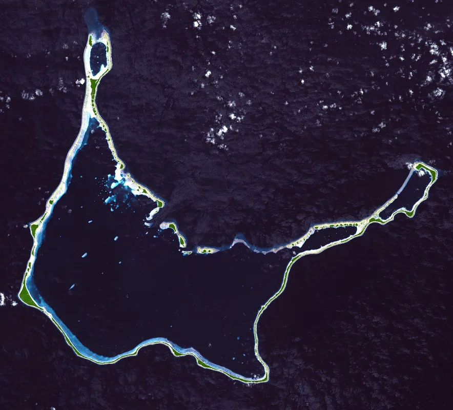
Laura is situated at the westernmost tip of Majuro Atoll, providing a lush, pastoral contrast to the densely populated urban districts of the east. As the widest part of the atoll, it sits atop a significant subterranean freshwater lens, which serves as a critical resource for the entire Marshall Islands. This unique geological feature enables Laura to function as Majuro's agricultural heartland, where farmers cultivate copra, breadfruit, papayas, and bananas in the nutrient-rich coral soil. The area is characterized by its tranquil atmosphere and a sense of isolation from the bustling administrative center. Visitors are drawn to the scenic Laura Beach Park, where expansive white sands and clear waters offer the best swimming opportunities on the atoll. The community is connected to the rest of Majuro by a single 30-mile road that winds through narrow strips of land. Historically, the area retains a traditional Marshallese charm, with small family homesteads and a pace of life governed by the rhythms of the Pacific tides.
- Location: Marshall Islands
- Nearby: Ajeltake (15 km)
- Population: ~1.547 (2026)
Best time to visit & climate
The most pleasant time to visit is Jan–Mar.
| Jan | Feb | Mar | Apr | May | Jun | Jul | Aug | Sep | Oct | Nov | Dec | |
|---|---|---|---|---|---|---|---|---|---|---|---|---|
| Avg °C | 28 | 28 | 28 | 28 | 28 | 28 | 28 | 28 | 28 | 28 | 28 | 28 |
| Rain mm | 161 | 137 | 162 | 227 | 211 | 223 | 252 | 234 | 260 | 276 | 267 | 224 |
Geography
Facts
- Located at Majuro's western end
- Elevation of approx. 3 meters
- Highest point on the atoll
- Primary center for local farming
- Connected to Delap by a 45km road
- Population of about 2,000 people
Explore nearby
Notable places around
Route planner — Car & Motorhome
Where do you start? We build the route here, with stops and country notes along the way.
© OpenStreetMap contributors · OpenRouteService
Sights in the town Laura (1)
Frequently asked questions
Why is Laura popular with travelers?
How is the beach there?
Is there infrastructure there?
What is the best way to get there?
Can you swim there?
Laura: where is it located?
Laura: when is the best time to visit?
Laura: why is it worth visiting?

Nearby cities


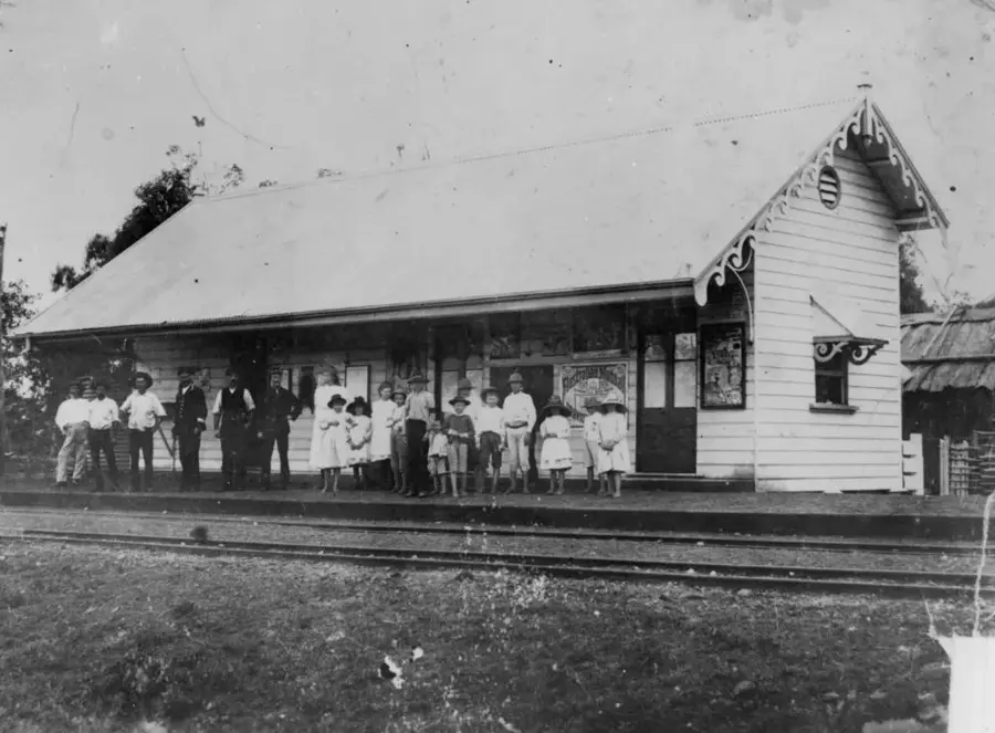
History & landmarks
Nature


More places