Plizio Visual Lab
Wotje Japanese Base

Weather…
Water temperature…
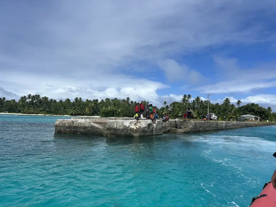
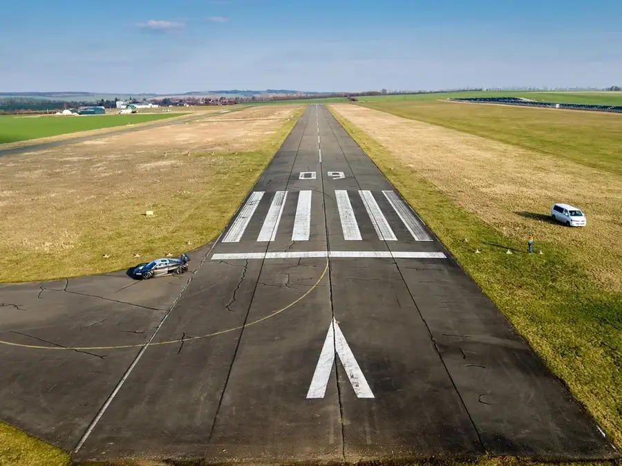
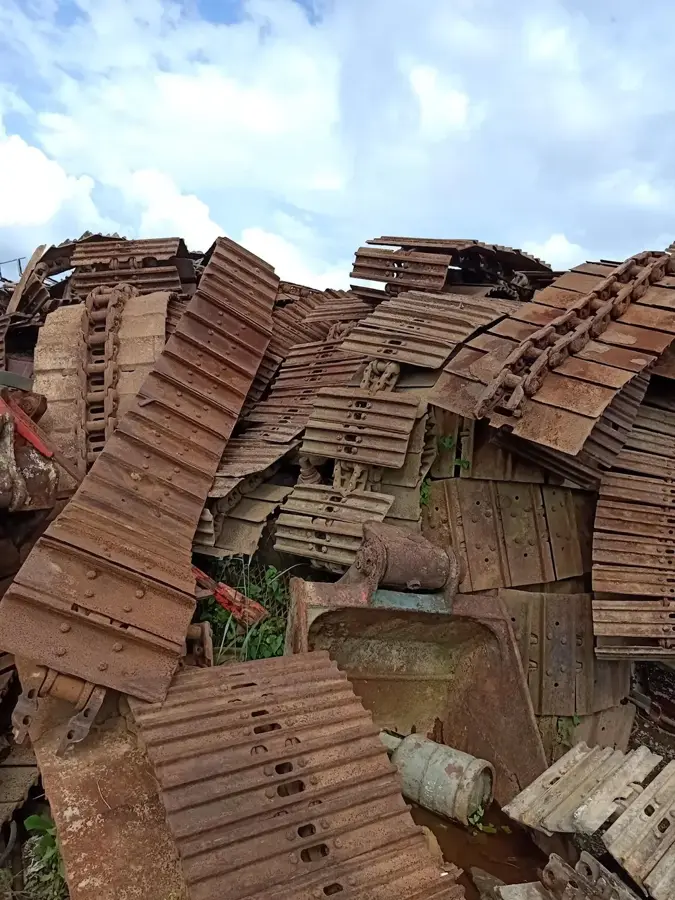
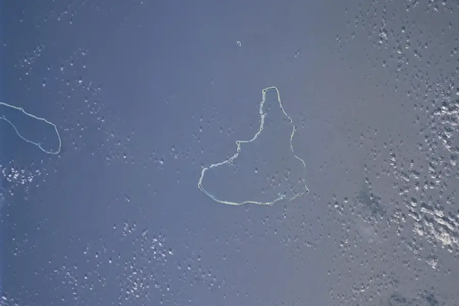
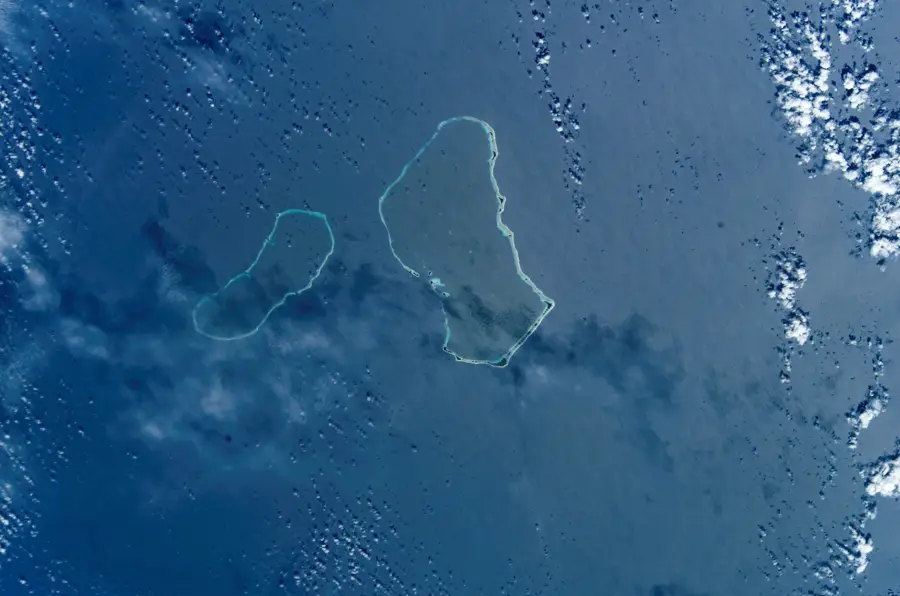
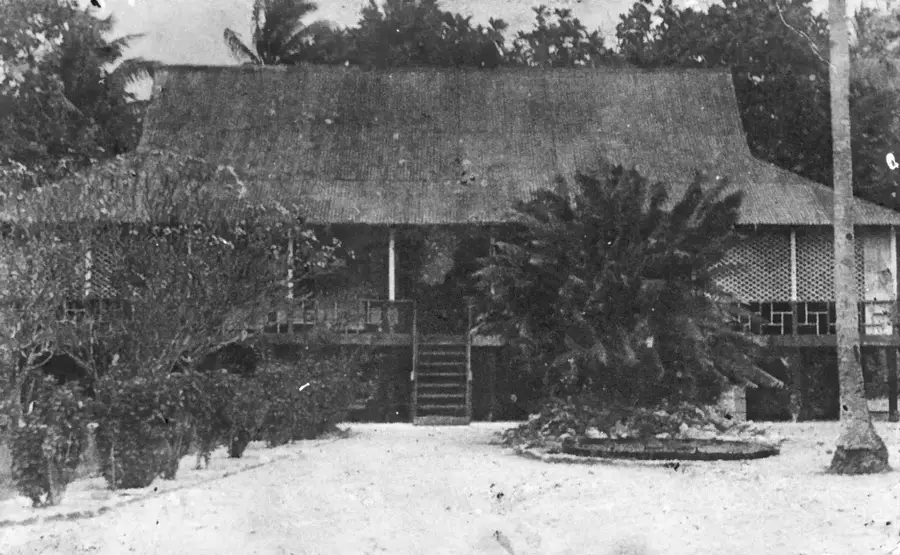
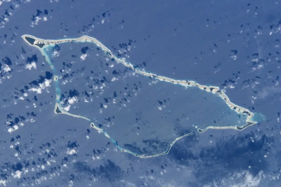
The Japanese base on Wotje Atoll was a cornerstone of their defensive perimeter in the eastern Marshall Islands during World War II. Developed into a formidable military complex, it featured a functional airfield and extensive seaplane facilities that projected power across the central Pacific. Today, the island serves as a poignant open-air museum where history enthusiasts can find the rusted remains of Mitsubishi G3M bombers and Kawanishi H6K flying boats scattered across the terrain. The landscape is dotted with massive coastal defense guns, reinforced concrete bunkers, and the skeletal remains of barracks and command posts. While the base endured punishing air raids by the United States between 1942 and 1944, it was strategically bypassed during the Allied island hopping campaign, leaving the large Japanese garrison isolated and starving until their eventual surrender in 1945.
- Location: Marshall Islands
- Nearby: Wotje Atoll (24 km)
Best time to visit & climate
The most pleasant time to visit is Jan–Mar.
| Jan | Feb | Mar | Apr | May | Jun | Jul | Aug | Sep | Oct | Nov | Dec | |
|---|---|---|---|---|---|---|---|---|---|---|---|---|
| Avg °C | 28 | 27 | 27 | 28 | 28 | 28 | 28 | 28 | 28 | 28 | 28 | 28 |
| Rain mm | 56 | 48 | 76 | 101 | 114 | 128 | 154 | 176 | 171 | 212 | 174 | 92 |
📋 Practical info
Geography
Facts
- Construction of the base began in 1941.
- Wotje Atoll has a land area of 4.3 km².
- The Japanese garrison numbered about 1,500 soldiers.
- There were two runways, each 1,200 m long.
- Coastal batteries consisted of 15 cm guns.
- After the war, 300 Japanese soldiers were captured.
Explore nearby
Notable places around
Route planner — Car & Motorhome
Where do you start? We build the route here, with stops and country notes along the way.
© OpenStreetMap contributors · OpenRouteService
Sights nearby
Frequently asked questions
What is the Japanese base Wotje?
Can one visit the base?
Do you need a guide?
Is it family-friendly?
How long to plan?
Wotje Japanese Base: where is it located?
Wotje Japanese Base: when is the best time to visit?
Wotje Japanese Base: why is it worth visiting?

Nearby cities


History & landmarks

Nature


More places