Plizio Visual Lab
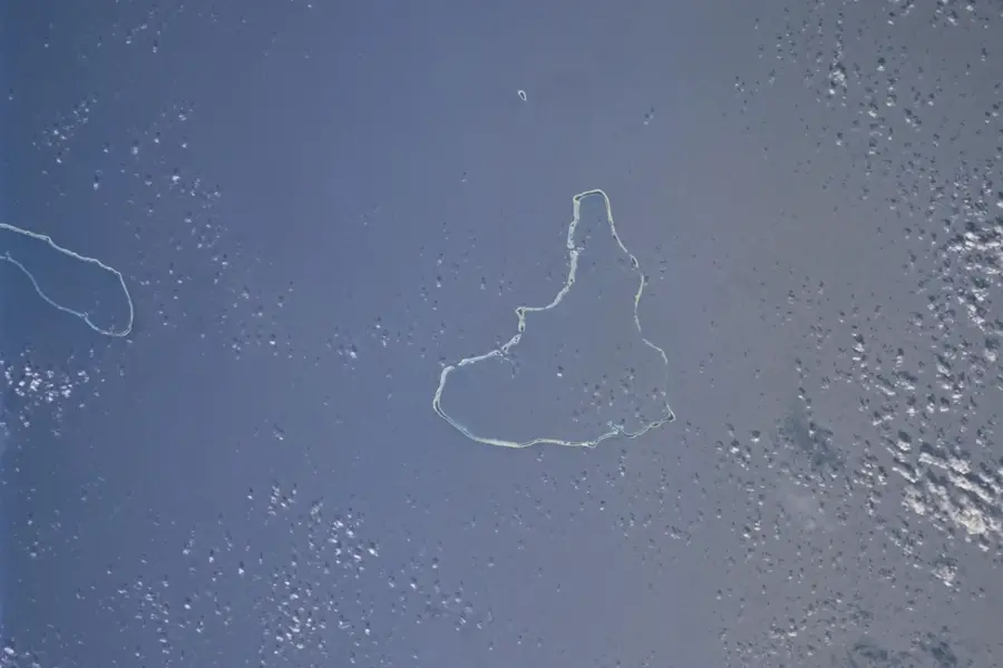
Wotje Airfield Ruins
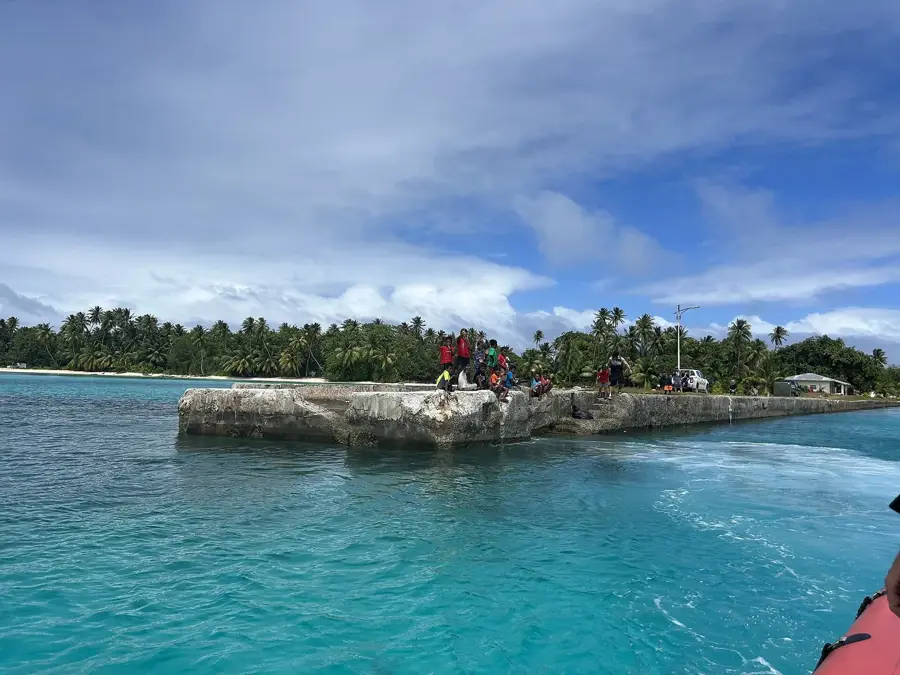
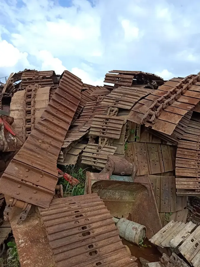
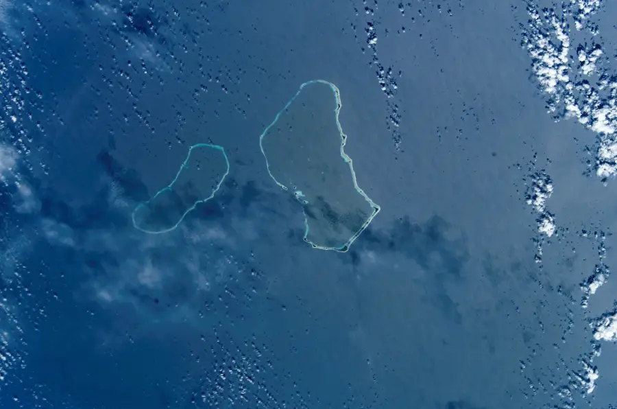
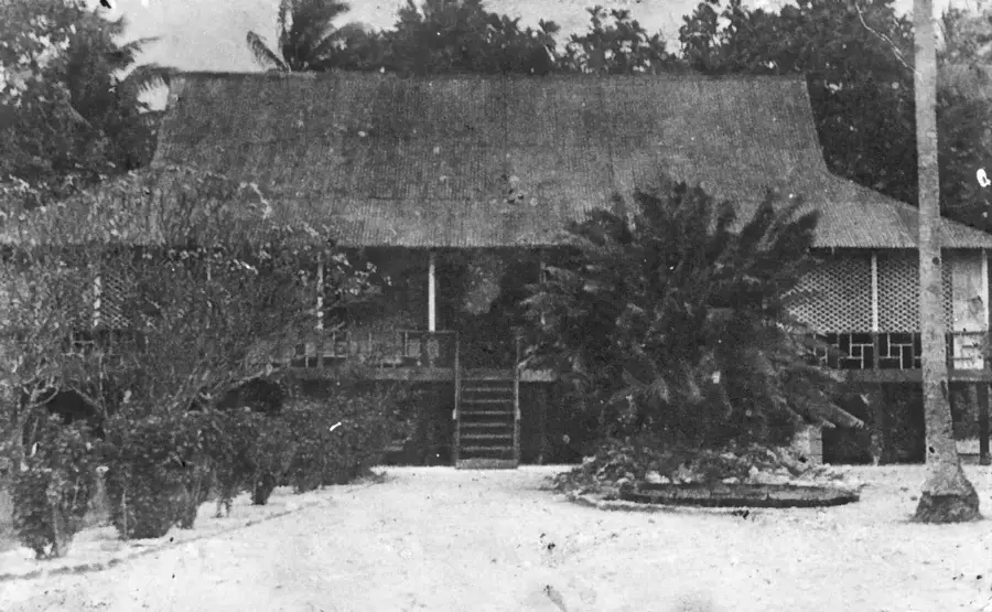
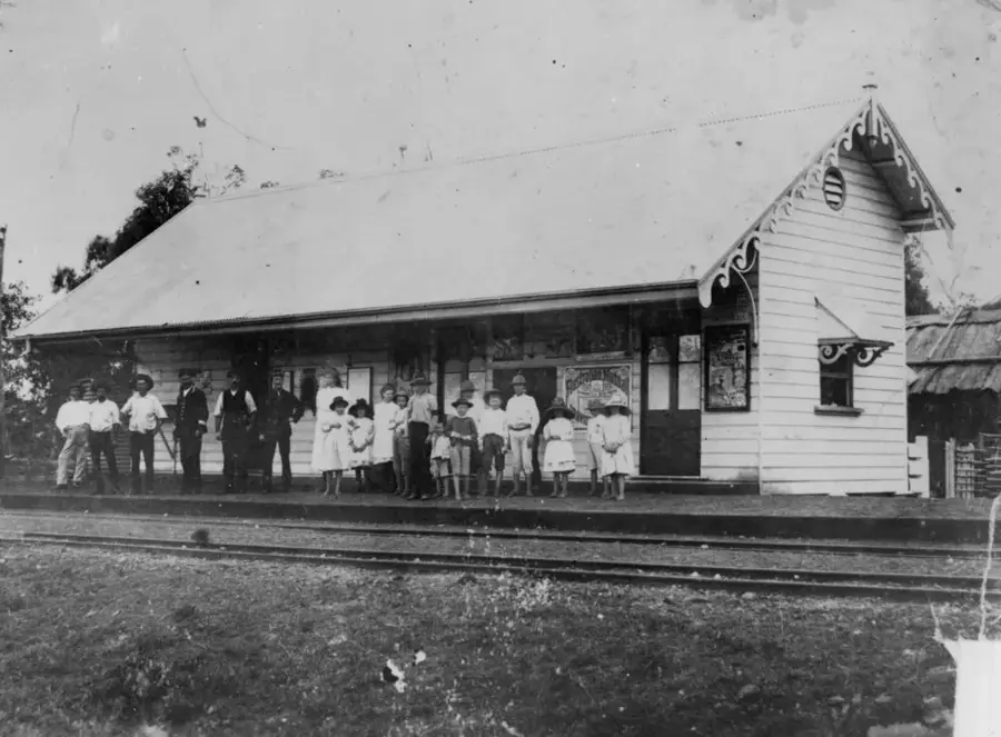
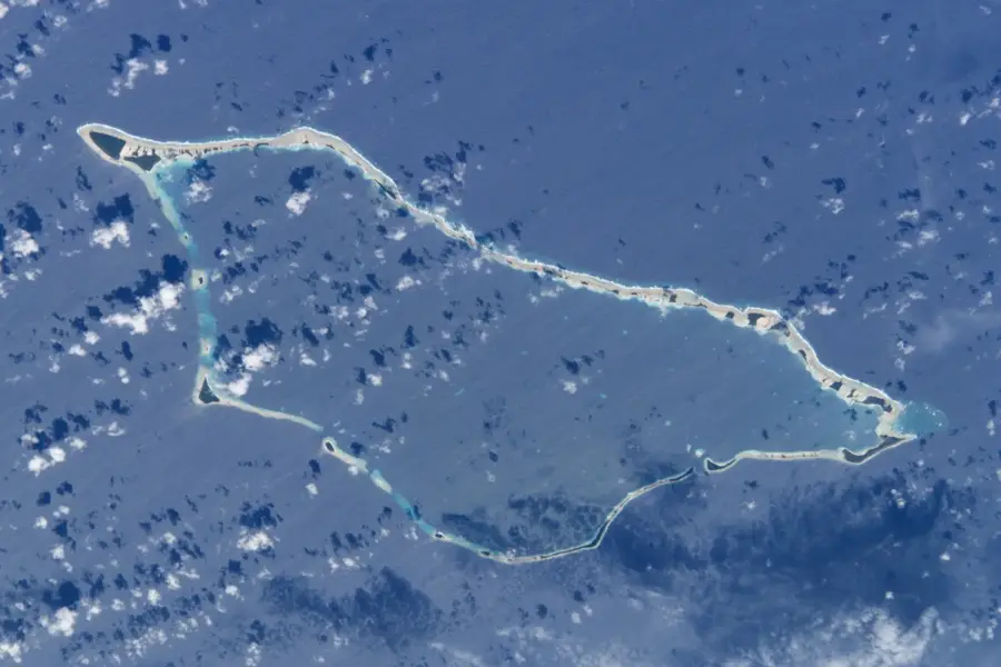
The Wotje Airfield ruins on Wotje Atoll stand as a haunting testament to the Pacific theater of World War II. Once a primary Japanese military stronghold established after 1939, the site featured a fully equipped airfield, reinforced hangars, and extensive coastal defenses. Today, the island is scattered with the wreckage of Mitsubishi A6M Zero fighters and other aircraft, their metal frames slowly being reclaimed by tropical vegetation. Visitors can explore massive coastal guns still pointing toward the sea, along with the remains of concrete bunkers, fuel depots, and administrative buildings. Due to its strategic importance, Wotje was a frequent target of Allied aerial bombardments, and the resulting craters remain part of the landscape. These ruins provide a raw, unedited look at military life and the sheer scale of the conflict that once engulfed these remote atolls in the Marshall Islands.
- Location: Marshall Islands
- Nearby: Wotje Atoll (25 km)
Best time to visit & climate
The most pleasant time to visit is Jan–Mar.
| Jan | Feb | Mar | Apr | May | Jun | Jul | Aug | Sep | Oct | Nov | Dec | |
|---|---|---|---|---|---|---|---|---|---|---|---|---|
| Avg °C | 28 | 27 | 27 | 28 | 28 | 28 | 28 | 28 | 28 | 28 | 28 | 28 |
| Rain mm | 56 | 48 | 76 | 101 | 114 | 128 | 154 | 176 | 171 | 212 | 174 | 92 |
📋 Practical info
Geography
Facts
- The airfield was built in 1943 by the Japanese.
- The runway is 1,200 meters long.
- The ruins include 3 bunkers.
- Wotje Atoll is about 240 km north of Majuro.
- The Japanese stationed up to 500 soldiers on the atoll.
- The airfield was captured by US forces in 1944.
Explore nearby
Notable places around
Route planner — Car & Motorhome
Where do you start? We build the route here, with stops and country notes along the way.
© OpenStreetMap contributors · OpenRouteService
Sights nearby
Frequently asked questions
Can you visit the ruins?
Is a guide necessary?
What is to be found there?
How do you get to Wotje?
Are there any dangers?
Wotje Airfield Ruins: where is it located?
Wotje Airfield Ruins: when is the best time to visit?
Wotje Airfield Ruins: why is it worth visiting?

Nearby cities


History & landmarks

Nature


More places