Plizio Visual Lab
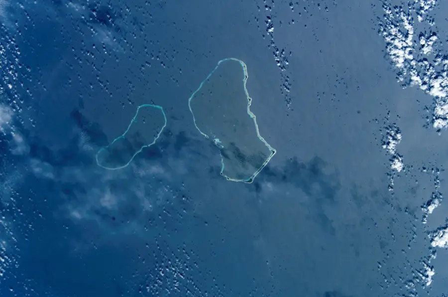
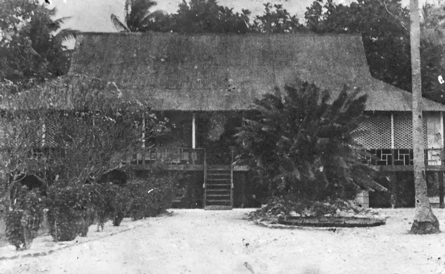
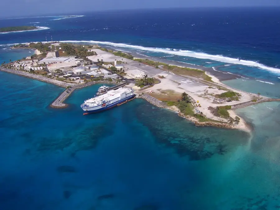
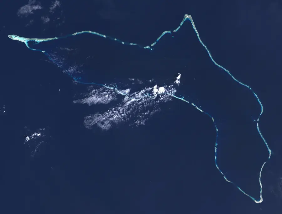
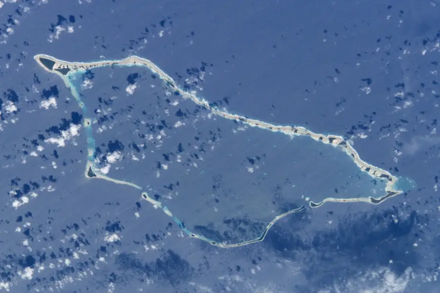
Utirik Atoll (Fallout Site)

Weather…
Water temperature…
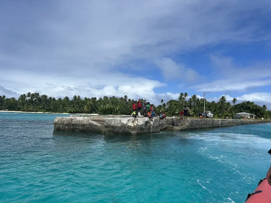
Utirik Atoll holds a significant yet tragic place in history due to its exposure to radioactive fallout from the Castle Bravo nuclear test on March 1, 1954. Located about 300 miles east of Bikini Atoll, Utirik was unexpectedly showered with radioactive ash and dust when shifting winds carried the plume beyond the predicted zones. The residents were not evacuated until several days after the exposure, leading to immediate and long-term health complications. Following their relocation to Kwajalein, the people of Utirik became part of Project 4.1, a classified US medical study to monitor the effects of high-level radiation on humans. Unlike the inhabitants of Rongelap, the Utirik community was allowed to return home in late 1954, as the levels were deemed safe at the time. However, the subsequent decades saw high rates of thyroid cancer and other ailments, making the atoll a lasting symbol of the environmental and human impact of nuclear testing in the Marshall Islands.
Best time to visit & climate
The most pleasant time to visit is Jan–Mar.
| Jan | Feb | Mar | Apr | May | Jun | Jul | Aug | Sep | Oct | Nov | Dec | |
|---|---|---|---|---|---|---|---|---|---|---|---|---|
| Avg °C | 27 | 27 | 27 | 27 | 28 | 28 | 28 | 28 | 28 | 28 | 28 | 28 |
| Rain mm | 28 | 27 | 48 | 64 | 65 | 78 | 109 | 135 | 138 | 164 | 124 | 49 |
📋 Practical info
Geography
Facts
- Fallout reached the atoll approximately 22 hours after detonation
- Evacuation of the 159 residents occurred three days later
- Resettlement was permitted as early as late 1954
- High incidence of thyroid conditions reported in subsequent years
- Part of the ongoing U.S. medical monitoring program
- Compensation was established under the Compact of Free Association
Explore nearby
Notable places around
Route planner — Car & Motorhome
Where do you start? We build the route here, with stops and country notes along the way.
© OpenStreetMap contributors · OpenRouteService
Sights nearby
Frequently asked questions
Is Utirik accessible to tourists?
What is the significance of the place?
Is there accommodation on Utirik?
How is medical care?
Can you use the lagoon?
Utirik Atoll (Fallout Site): where is it located?
Utirik Atoll (Fallout Site): when is the best time to visit?
Utirik Atoll (Fallout Site): why is it worth visiting?

Nearby cities


History & landmarks
Nature


More places