Plizio Visual Lab
Cacine
ℹ️Practical info — Cacine
▾
🌤 Weather — 5 days
📍 Nearby
Sights nearby
💡 Tips
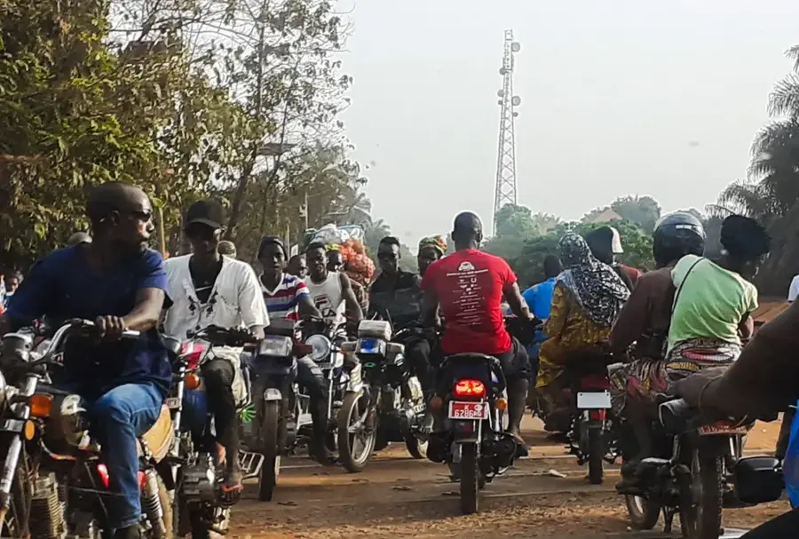
- Boat transport is a common way to navigate the riverine geography; negotiate fares with local boatmen before boarding.
- Bring enough local currency (CFA Francs), as ATMs are practically non-existent in this remote area.
- Due to the surrounding mangroves, strong mosquito repellent is absolutely essential, especially at dawn and dusk.
- Learn a few basic phrases in Guinea-Bissau Creole or Portuguese to communicate better with the locals.
🍽 Food
Often caught the same day, ask for the daily catch at simple riverside eateries.
A staple local dish, frequently served with fish or meat stews.
If visiting during the cashew season, try this unique and potent local fermented drink.
🛍 Shopping · 🧘 Quiet spots
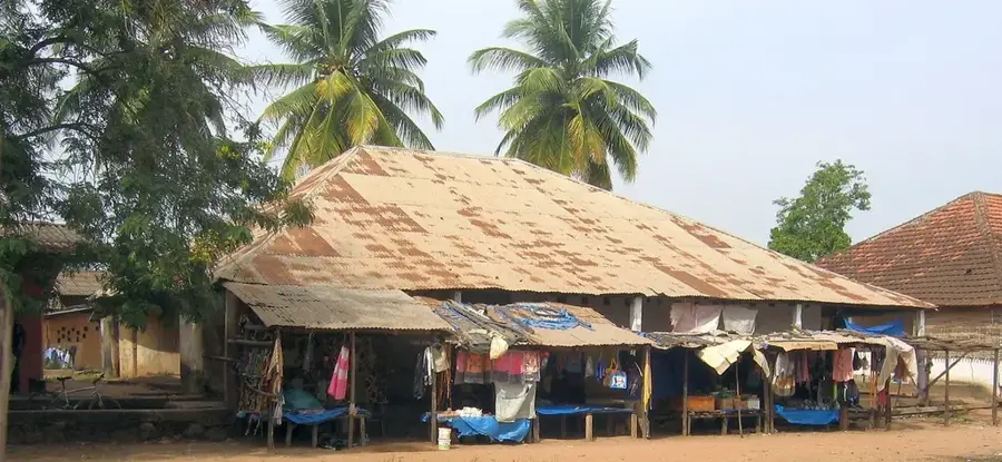
Buy directly from local farmers at the bustling weekly markets.
Look for small carvings and useful wooden items made by local artisans.
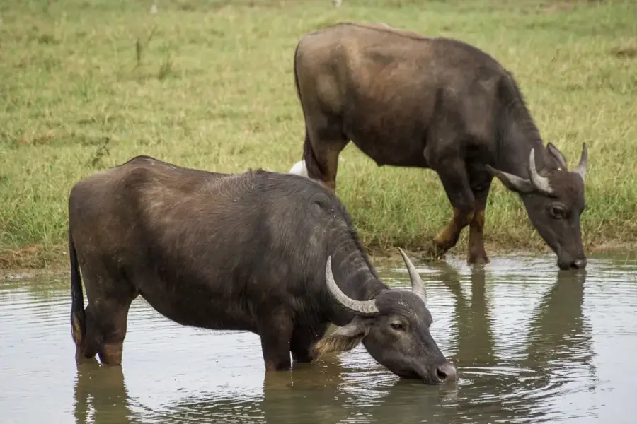
A serene spot to watch small boats pass by and observe local birdlife.
Find a quiet path or take a silent canoe ride along the dense mangrove forests.
Water temperature…
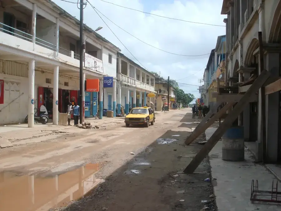
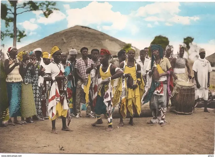
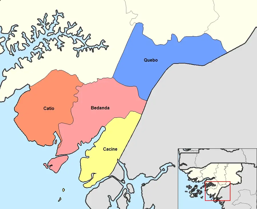
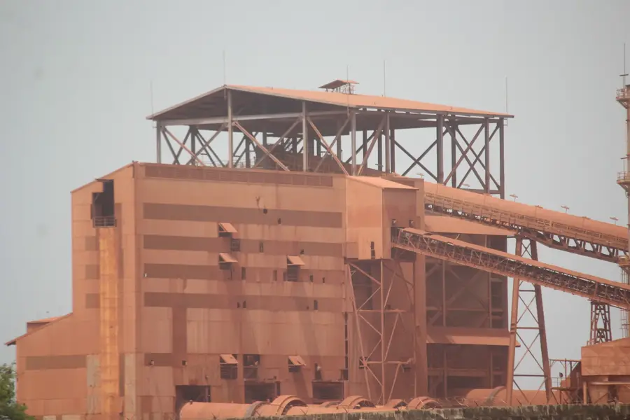
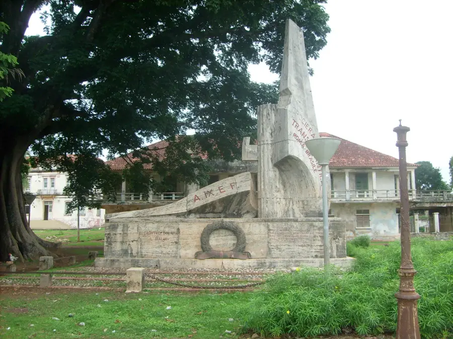
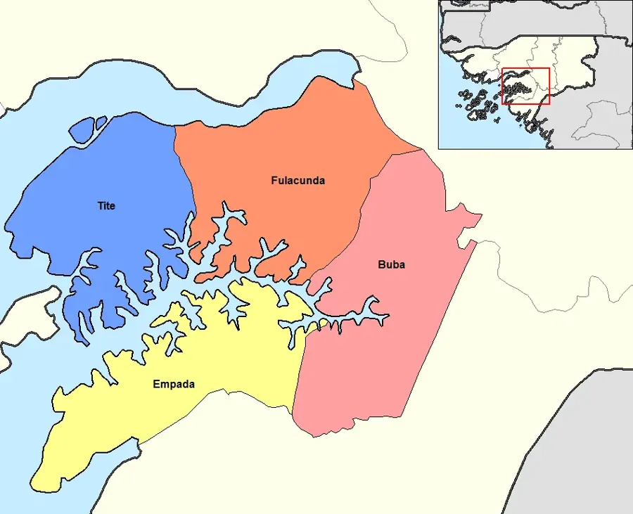
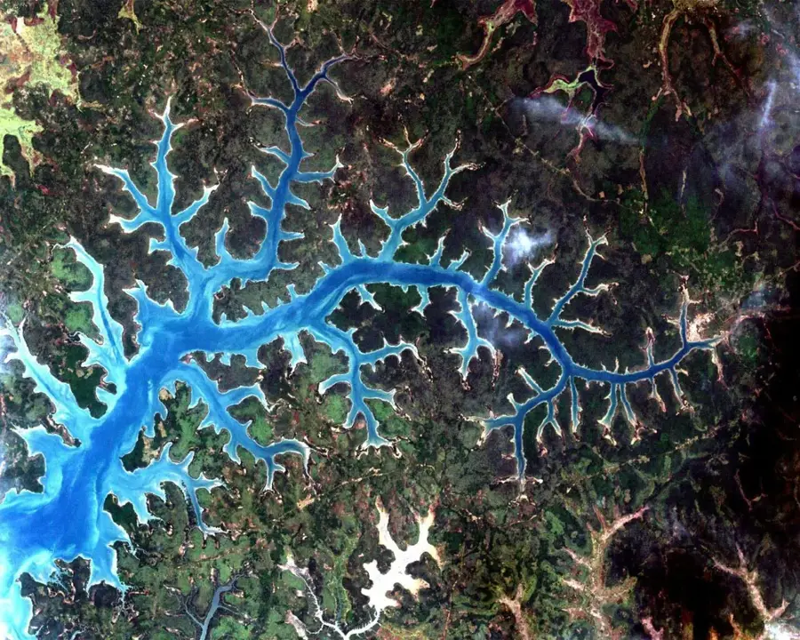
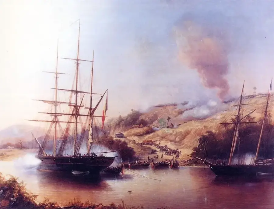
Cacine is a coastal town in the far south of Guinea-Bissau, situated on the banks of the Rio Cacine within the Tombali region. The town serves as a key regional port, acting as a gateway to the Atlantic Ocean and neighboring Guinea-Conakry. Geographically, the area is defined by a complex network of estuaries, mangrove swamps, and dense coastal forests that support extraordinary biodiversity. Historically, Cacine was a significant outpost during the colonial era for the export of natural resources and played a strategic role in the war of liberation, as waterways were essential for logistics. Today, the local economy is dominated by fishing, trade, and rice cultivation in the fertile coastal plains. The town also functions as a starting point for expeditions into the remote southern regions, including the Cantanhez National Park. Despite its isolated location, Cacine remains a vital hub for the intersection of land and sea routes in this secluded corner of West Africa.
- Location: Guinea-Bissau
- Nearby: Bedanda (4 km)
- Population: ~1.151 (2023)
Best time to visit & climate
The most pleasant time to visit is Jan, Feb, Dec.
| Jan | Feb | Mar | Apr | May | Jun | Jul | Aug | Sep | Oct | Nov | Dec | |
|---|---|---|---|---|---|---|---|---|---|---|---|---|
| Avg °C | 26 | 28 | 28 | 29 | 29 | 28 | 26 | 26 | 26 | 27 | 27 | 26 |
| Rain mm | 0 | 0 | 2 | 1 | 32 | 193 | 454 | 575 | 376 | 185 | 23 | 0 |
Geography
Facts
- Major port town on the Cacine River in the south
- Part of the Tombali region, Cacine sector
- Functions as a trade link to neighboring Guinea-Conakry
- The region is noted for its pristine mangrove forests
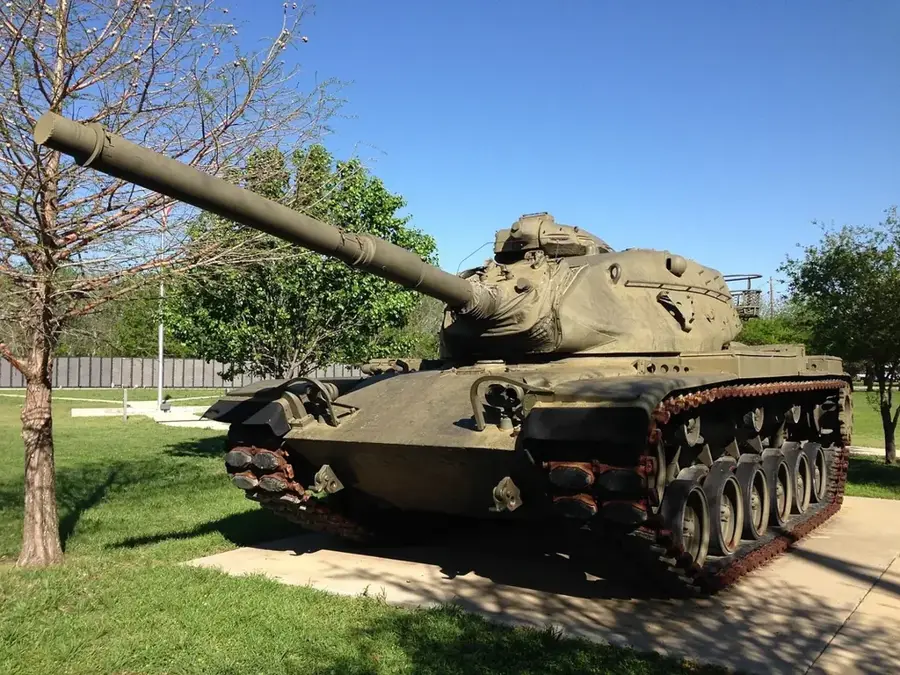
- Played a strategic role during the war of independence
- Primary industries include fishing and rice farming
Explore nearby
Notable places around
Route planner — Car & Motorhome
Where do you start? We build the route here, with stops and country notes along the way.
© OpenStreetMap contributors · OpenRouteService
Frequently asked questions
Where is Cacine located?
Is Cacine a port?
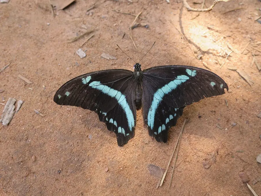
What can you do in nature?
How do you get there?
Is there a malaria risk?
Cacine: where is it located?
Cacine: when is the best time to visit?
Cacine: why is it worth visiting?

Nearby cities

Nature
More places