Plizio Visual Lab
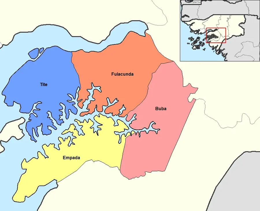
Empada
ℹ️Practical info — Empada
▾
🌤 Weather — 5 days
📍 Nearby
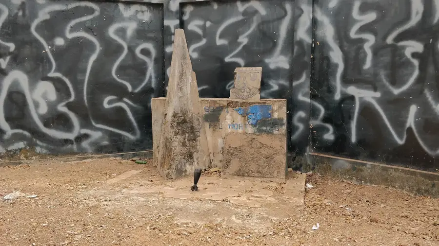
Sights nearby
💡 Tips
- Bring plenty of West African CFA francs in cash, as ATMs are practically non-existent in this rural area.
- Travel during the dry season (November to May) as dirt roads become difficult to navigate during the rains.
- Portuguese and Kriol are the main languages; learning a few basic Kriol phrases will be highly appreciated by locals.
- Public transport relies on 'toca-tocas' (bush taxis); expect them to leave only when completely full.
🍽 Food
Grilled marinated chicken, a flavorful staple found at local, unpretentious food stands.
A rich, hearty peanut stew that is traditionally served over generous portions of rice.
Often grilled simply and sold in small communities and villages near the water.
🛍 Shopping · 🧘 Quiet spots
The best place to buy fresh, locally grown tropical fruits and daily produce.
Guinea-Bissau is a major exporter, pick them up freshly harvested directly from local vendors.
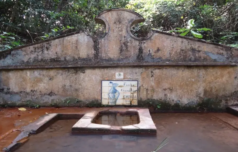
A nearby river offering serene natural spots and a chance to escape into nature.
Take a peaceful walk in the shaded and tranquil agricultural groves surrounding the town.
Water temperature…
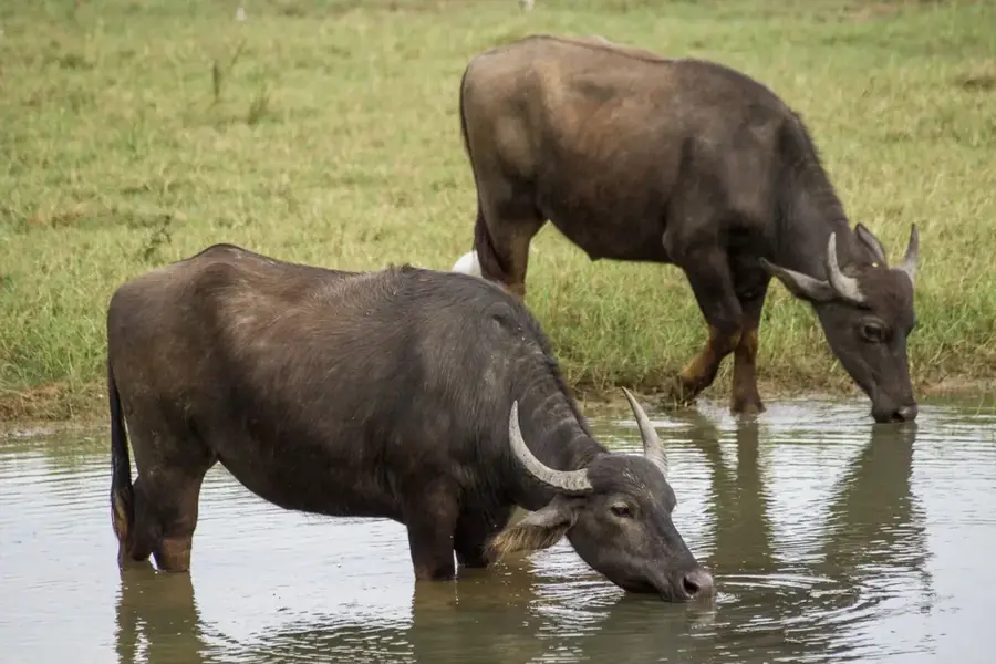
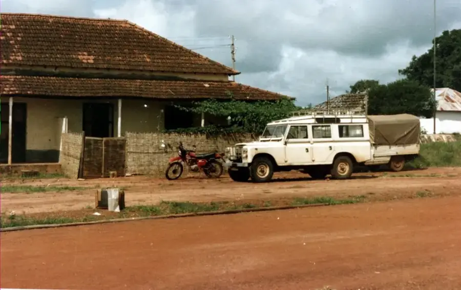
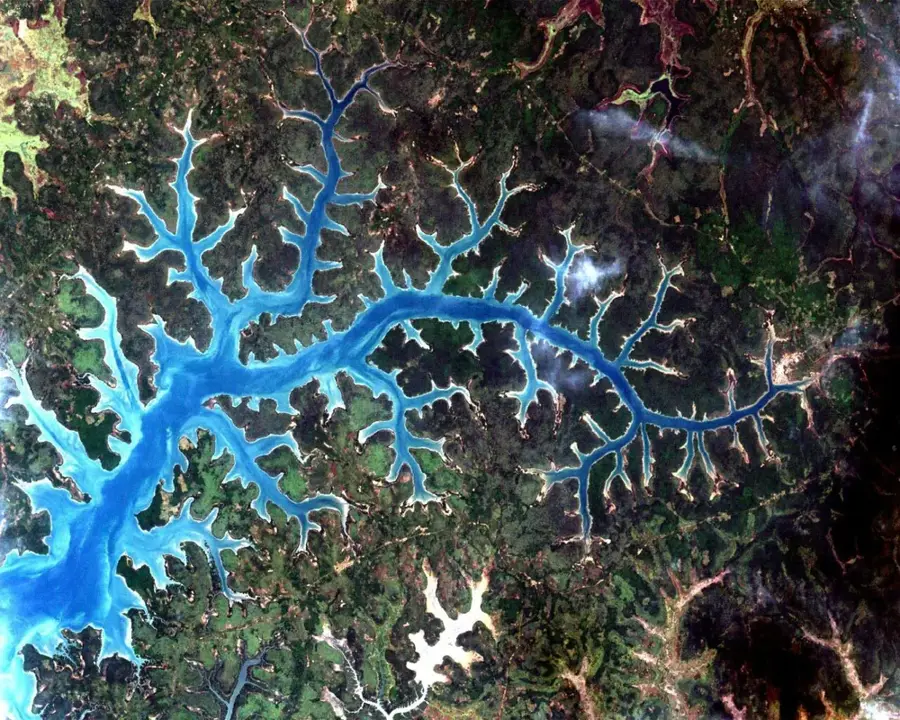
Empada is a scenic town in the Quinara region of southwestern Guinea-Bissau, situated on the banks of the Rio Grande de Buba. The settlement is renowned for its strategic location on this deep estuary, which extends far into the mainland and has served as a vital waterway for centuries. Empada's geography is characterized by dense mangrove forests and fertile alluvial plains, which facilitate the cultivation of rice and oil palms. Historically, Empada functioned as a trading post during the colonial era and later became a contested area during the war of independence. The town's architecture still displays traces of Portuguese presence, interspersed with the traditional mud-brick dwellings of local ethnic groups. Today, Empada serves as a hub for local fishing and the export of cashew nuts, which form the backbone of the regional economy. The tranquil riverside atmosphere and the rich biodiversity of the surrounding wetlands make the area a potential destination for eco-tourism, though infrastructure currently remains basic.
- Location: Guinea-Bissau
- Nearby: Tite (16 km)
- Population: ~2.680 (2023)
Best time to visit & climate
The most pleasant time to visit is Jan, Feb, Dec.
| Jan | Feb | Mar | Apr | May | Jun | Jul | Aug | Sep | Oct | Nov | Dec | |
|---|---|---|---|---|---|---|---|---|---|---|---|---|
| Avg °C | 24 | 26 | 27 | 28 | 28 | 28 | 27 | 27 | 27 | 28 | 28 | 25 |
| Rain mm | 0 | 0 | 1 | 0 | 21 | 142 | 405 | 518 | 363 | 189 | 15 | 0 |
Geography
Facts
- Located on the northern bank of the Rio Grande de Buba
- Headquarters of the Empada sector in Quinara region
- Major collection point for cashew nut exports
- Surrounded by extensive mangrove ecosystems
- Historical trading post dating back to the colonial era
- Proximity to the river supports a large fishing industry
Explore nearby
Notable places around
Route planner — Car & Motorhome
Where do you start? We build the route here, with stops and country notes along the way.
© OpenStreetMap contributors · OpenRouteService
Frequently asked questions
What is the main product of Empada?
Are there mangroves nearby?
What is the climate like?
Can you go birdwatching there?
What means of transport are available?
Empada: where is it located?
Empada: when is the best time to visit?
Empada: why is it worth visiting?

Nearby cities
Nature
More places