Plizio Visual Lab
Kamsar
ℹ️Practical info — Kamsar
▾
🌤 Weather — 5 days
📍 Nearby
Sights nearby
💡 Tips
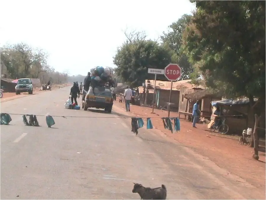
- The city revolves around the bauxite port; expect heavy truck traffic and industrial activity near the waterfront.
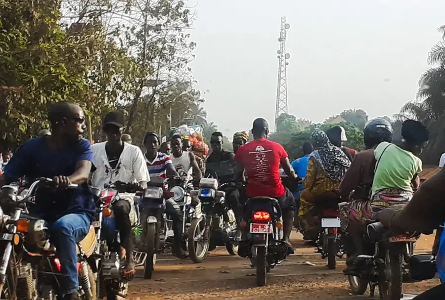
- Shared taxis are the main transport; always negotiate and confirm the fare before starting your journey.
- Cash is essential. Bring enough Guinean Francs, as ATMs are scarce and can be unreliable.
- Due to the tropical coastal climate, start your outdoor explorations early in the morning to avoid the intense midday heat.
🍽 Food
Try the freshly caught fish at the small local restaurants (maquis) near the coast.
A traditional chicken dish with onions and lemon, served in most local eateries.
A hearty sauce made from cassava leaves (sauce feuille), typically served with rice.
🛍 Shopping · 🧘 Quiet spots
Look for colorful West African textiles and fresh produce in the central markets.
Find small stalls selling quick snacks and basic goods near the port area.
Take a walk along the water away from the industrial zones to find some peace.
The living areas outside the center offer a much more relaxed, local vibe.
Water temperature…
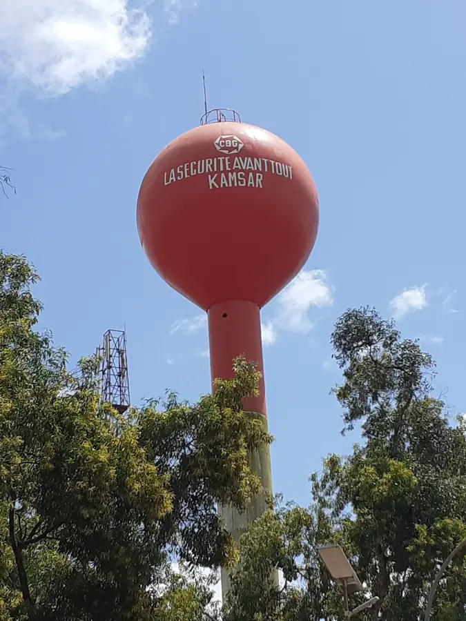
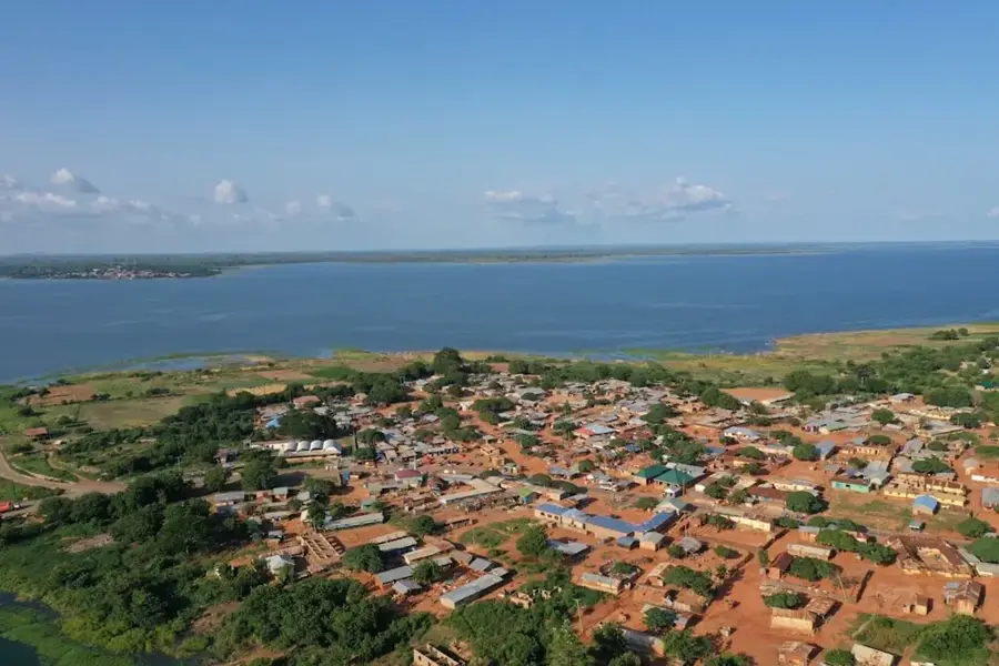
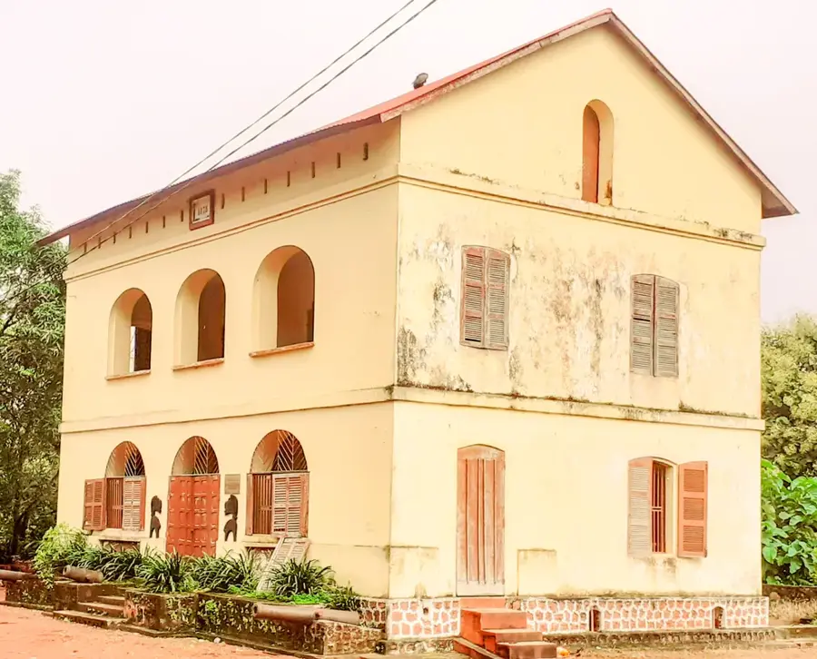
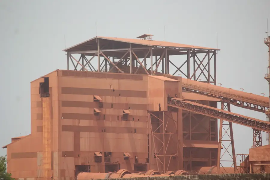
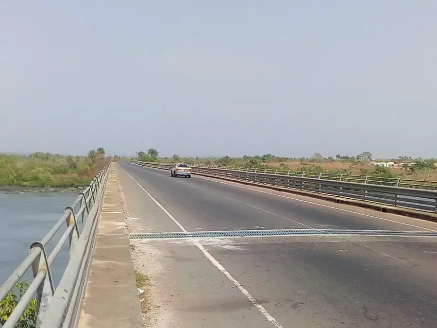
Kamsar is a major industrial port city in Guinea, situated at the mouth of the Rio Nuñez on the Atlantic coast. The town is globally renowned as one of the most significant export hubs for bauxite, the primary ore used in aluminum production. Its development is inextricably linked to the Compagnie des Bauxites de Guinée (CBG), which operates extensive processing and loading facilities within the port area. The bauxite is transported to Kamsar via a dedicated 135-kilometer railway line from the rich mines of Sangarédi. Established in its modern form during the 1970s, the city was designed as a planned industrial center to facilitate the extraction of Guinea's vast mineral wealth. The deep-water port is capable of accommodating large bulk carriers, making it a critical link in the international aluminum supply chain. Geographically, the region is characterized by extensive mangrove swamps and tidal estuaries, providing a stark contrast to the heavy industrial infrastructure that defines the town's skyline and economic purpose.
- Location: Guinea
- Nearby: Kolaboui (25 km)
- Population: ~113.350 (2025)
Best time to visit & climate
The most pleasant time to visit is Jan, Feb, Dec.
| Jan | Feb | Mar | Apr | May | Jun | Jul | Aug | Sep | Oct | Nov | Dec | |
|---|---|---|---|---|---|---|---|---|---|---|---|---|
| Avg °C | 27 | 28 | 29 | 29 | 28 | 27 | 26 | 26 | 26 | 27 | 27 | 26 |
| Rain mm | 0 | 1 | 1 | 4 | 51 | 248 | 543 | 667 | 386 | 176 | 35 | 0 |
Geography
Facts
- Kamsar is located approximately 250 kilometers northwest of Conakry.
- The port facility was officially commissioned in 1973 for bauxite export.
- The city serves as the terminus for a 135 km railway from Sangarédi.
- It houses one of the largest bauxite processing plants in West Africa.
- The Compagnie des Bauxites de Guinée (CBG) is the primary economic driver.
- The surrounding geography features extensive mangrove ecosystems and estuaries.
Explore nearby
Notable places around
Route planner — Car & Motorhome
Where do you start? We build the route here, with stops and country notes along the way.
© OpenStreetMap contributors · OpenRouteService
Frequently asked questions
What is the main function of Kamsar?
Are there beaches in Kamsar?
Is Kamsar interesting for tourists?
What is the infrastructure like in Kamsar?
Can you visit the port?
Kamsar: where is it located?
Kamsar: when is the best time to visit?
Kamsar: why is it worth visiting?

Nearby cities

Nature
More places