Plizio Visual Lab
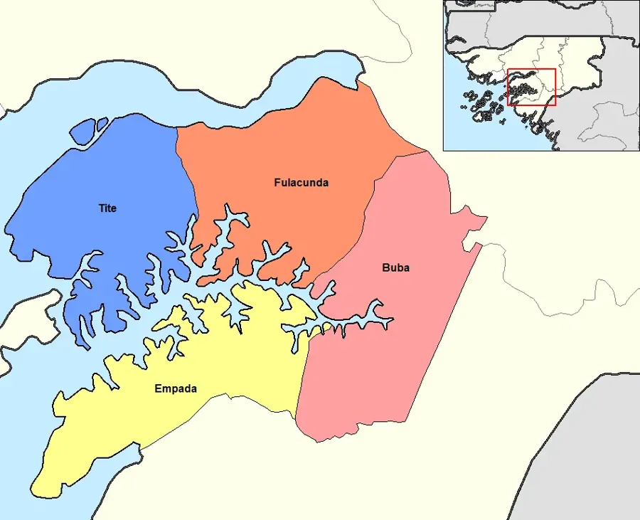
Tite
ℹ️Practical info — Tite
▾
🌤 Weather — 5 days
📍 Nearby
Sights nearby
💡 Tips
- Boat travel on the Geba estuary is highly dependent on tides; always check the schedule locally.
- Carry good insect repellent, especially if you are near the water at dusk.
- Greeting locals with 'Bom dia' or 'Boa tarde' goes a long way.
- Tite is relatively remote, so pack all essential medicines and a first-aid kit.
🍽 Food
Ask for the daily catch grilled whole at a modest local eatery.
Sometimes available locally; ensure they are cooked if you are unaccustomed to them.
Enjoy locally roasted peanuts sold as a quick snack.
🛍 Shopping · 🧘 Quiet spots
Visit early morning to see the local fishermen bringing in their catch.
Buy mangoes or bananas from small stalls along the main paths.
Find a quiet spot along the water to watch the boats.
Relax in the shade of a large tree in the center of the settlement.
Water temperature…
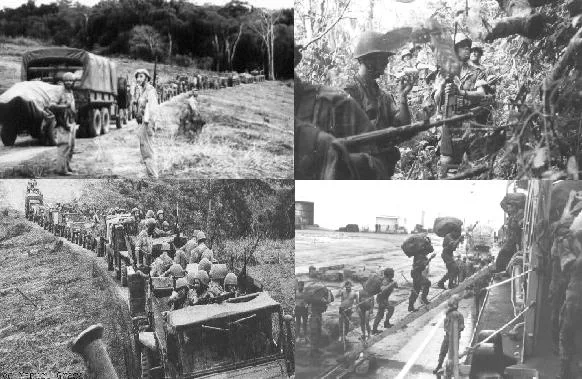
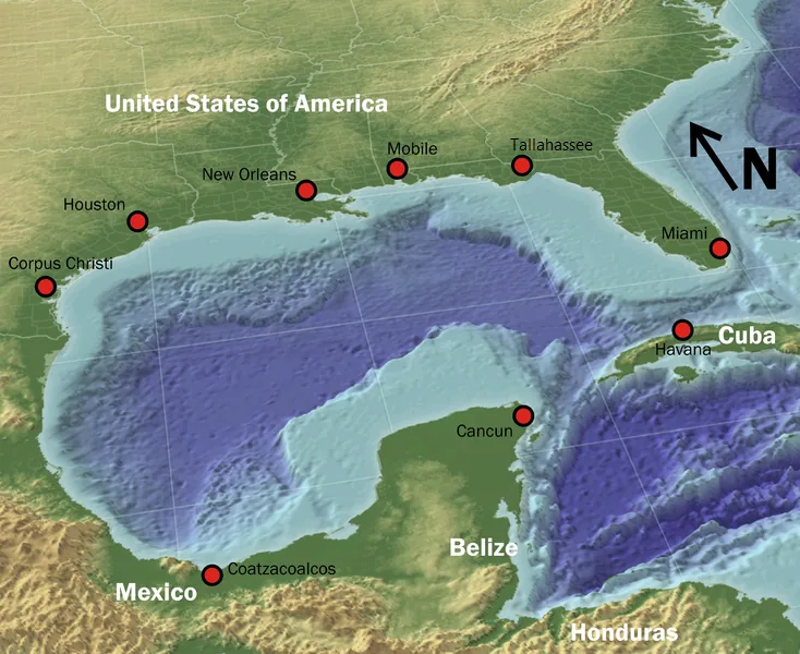
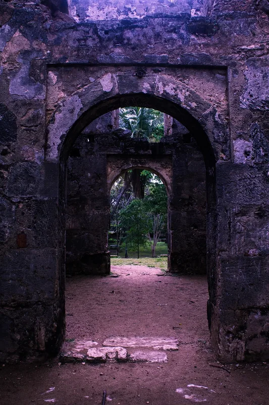
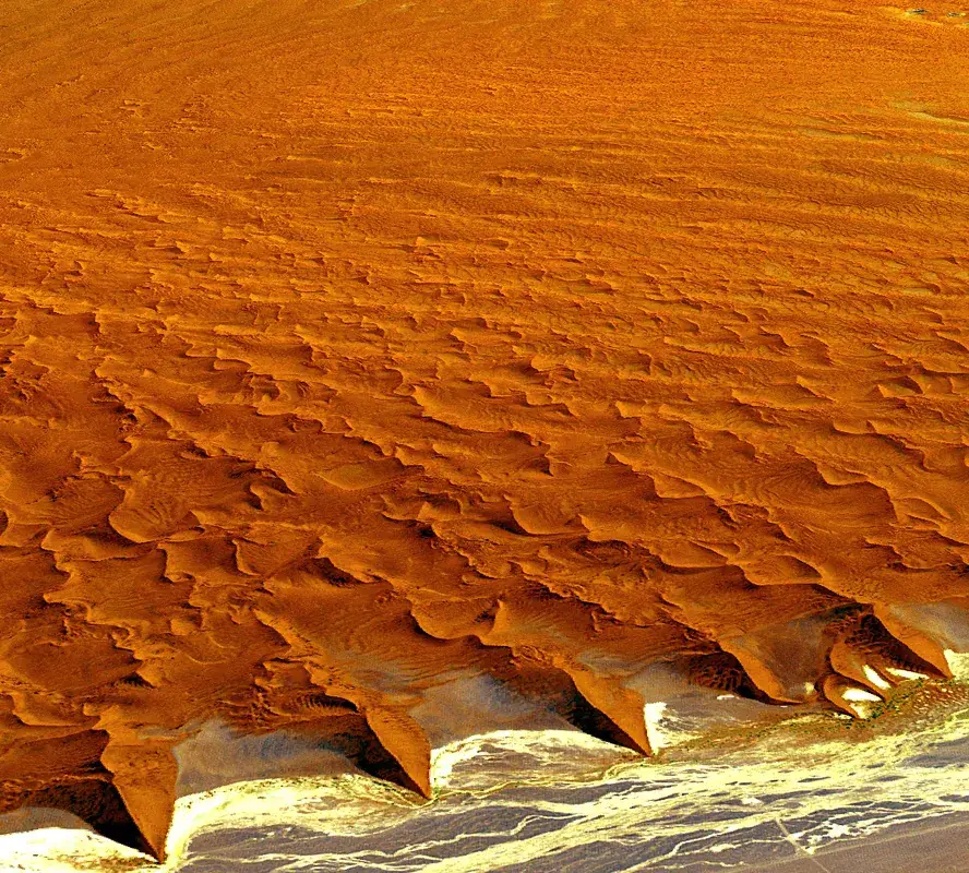
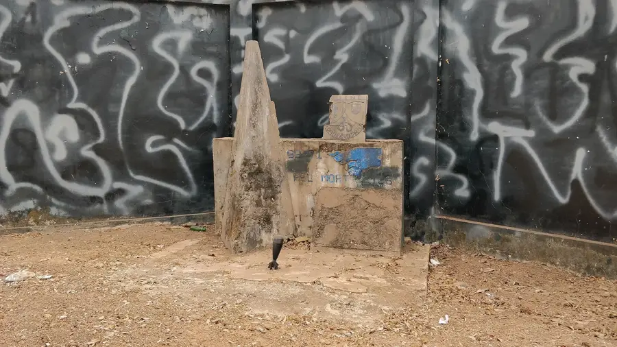
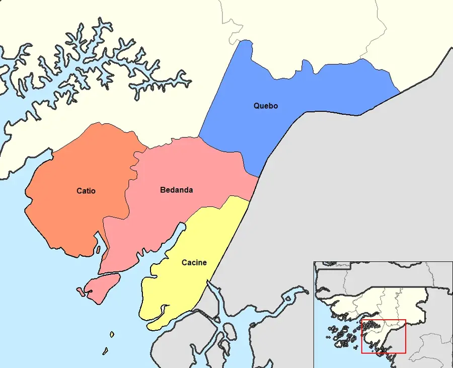
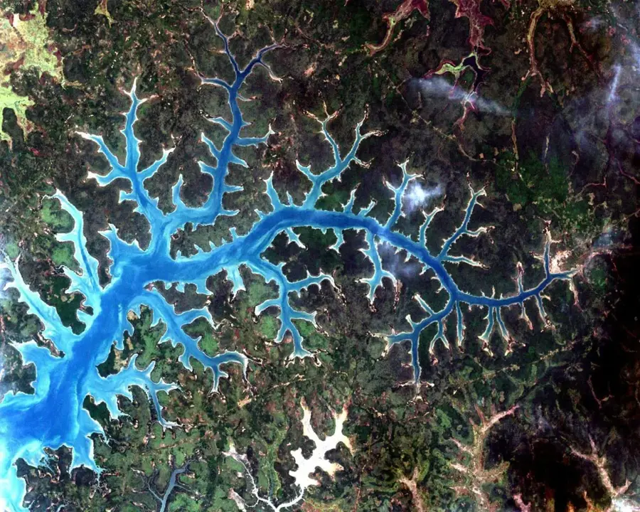
Tite is a small town in the Quinara region, situated in southwestern Guinea-Bissau near the southern bank of the Rio Grande de Buba. The settlement holds a significant strategic position as it commands the connection between the coastal region and the country's interior. Geographically, Tite is surrounded by a diverse landscape of savannas, mangroves, and agricultural lands, with cashew nut and peanut cultivation being the primary sources of income for the inhabitants. During the war of independence against Portugal, Tite was the site of intense military engagements, serving as a crucial outpost for monitoring the regional waterways. Traces of the colonial past are still visible today in remnants of infrastructure and urban layout. Currently, Tite acts as the administrative center for its namesake sector and serves as a vital market hub for surrounding farming communities. Despite its relative proximity to the capital, Bissau, via sea routes, the region remains somewhat isolated due to the lack of modern road connections.
- Location: Guinea-Bissau
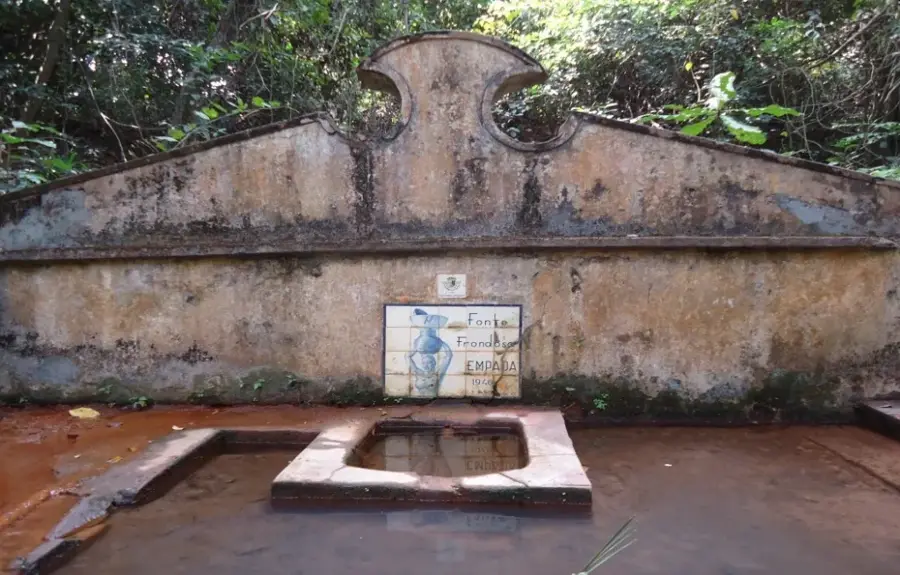
- Nearby: Empada (16 km)
- Population: ~1.109 (2023)
Best time to visit & climate
The most pleasant time to visit is Jan, Feb, Dec.
| Jan | Feb | Mar | Apr | May | Jun | Jul | Aug | Sep | Oct | Nov | Dec | |
|---|---|---|---|---|---|---|---|---|---|---|---|---|
| Avg °C | 24 | 26 | 27 | 28 | 28 | 28 | 27 | 27 | 27 | 28 | 28 | 25 |
| Rain mm | 0 | 0 | 1 | 0 | 21 | 142 | 405 | 518 | 363 | 189 | 15 | 0 |
Geography
Facts
- Administrative seat of the Tite sector in Quinara region
- Strategically located near the Rio Grande de Buba estuary
- A significant center for groundnut (peanut) production
- Served as a key military outpost during the colonial period
- The population is primarily composed of Balanta and Mandinka people
- The area marks a geographic transition from coast to savanna
Explore nearby
Notable places around
Route planner — Car & Motorhome
Where do you start? We build the route here, with stops and country notes along the way.
© OpenStreetMap contributors · OpenRouteService
Frequently asked questions
Where is Tite located?
Can you rent boats from Tite?
What is the best time to travel to Tite?
Is there electricity there?
What is the main occupation of the people?
Tite: where is it located?
Tite: when is the best time to visit?
Tite: why is it worth visiting?

Nearby cities
Nature
More places