Plizio Visual Lab
Rio Nuñez
Weather…
Water temperature…
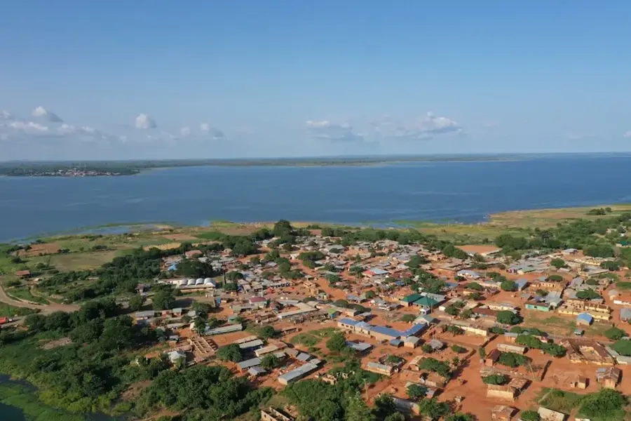
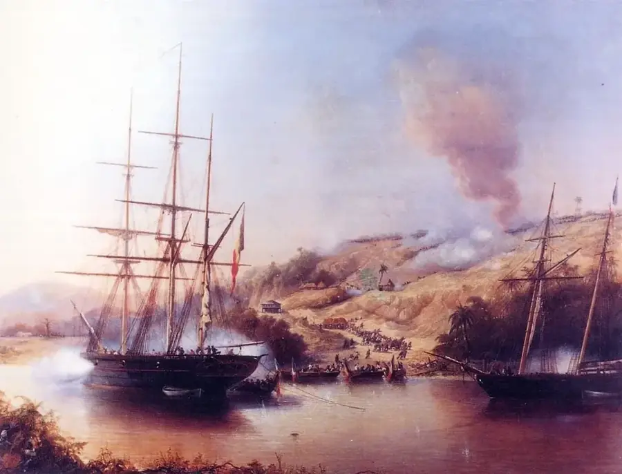
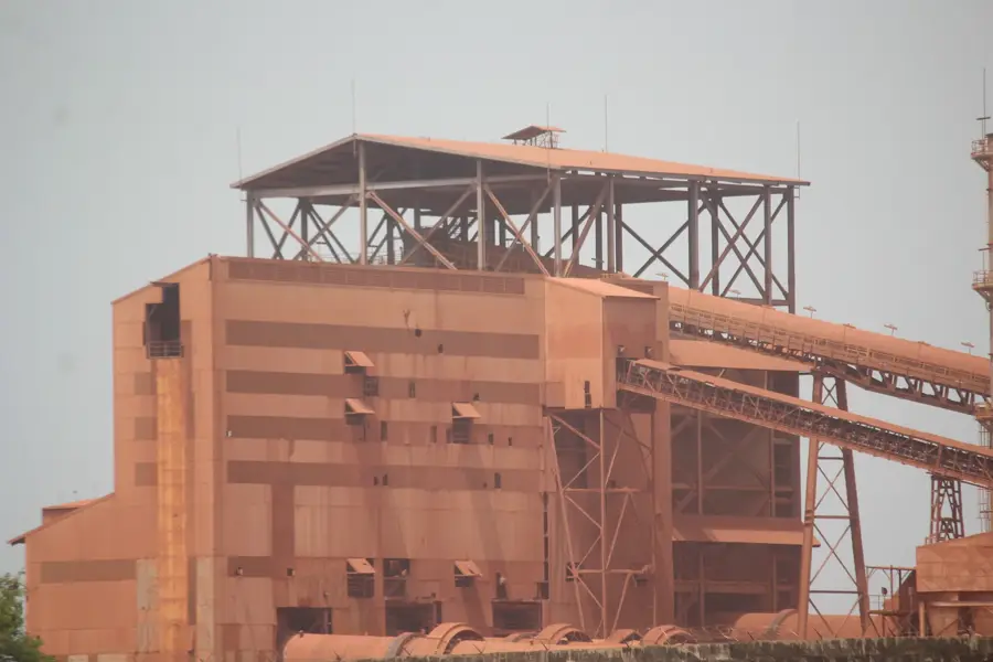
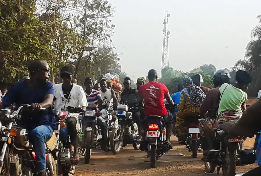
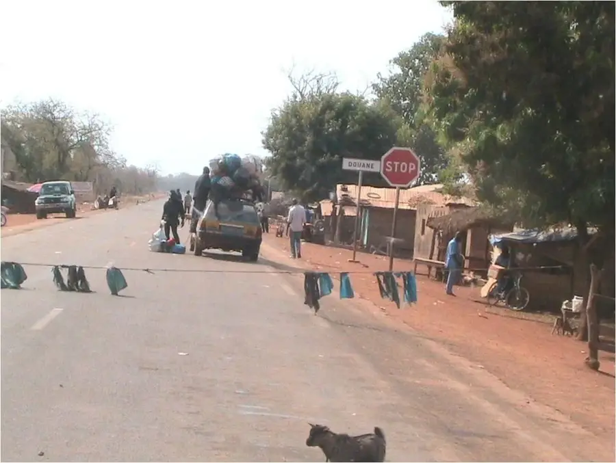
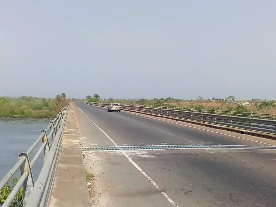
The Rio Nuñez is one of Guinea's most economically vital waterways and the primary maritime gateway for the country's bauxite industry. Geographically, the river originates in the Fouta Djallon highlands and flows southwestward through the Boké Prefecture until it meets the Atlantic Ocean at Kamsar. The estuary of the Rio Nuñez is defined by its exceptional depth and width, which accommodates the world's largest bulk carriers. Historically, the river was a center of colonial trade disputes in the 19th century, most notably the 'Rio Nuñez Incident' of 1849 involving French and British interests. Today, it serves as the logistical backbone for transporting aluminum ore from the Sangarédi mines to international markets. Daily life along the river is a blend of the industrial intensity of the Port of Kamsar and the traditional fishing practices of the indigenous Baga and Landuma peoples. Ecologically, the Rio Nuñez estuary features extensive mangrove systems that act as crucial nurseries for regional marine life. Its economic importance cannot be overstated, as the vast majority of Guinea's mineral exports rely on its navigable channel. Despite the environmental pressures of large-scale shipping, the Rio Nuñez remains the essential link between Guinea's mineral wealth and global industry.
- Location: Guinea
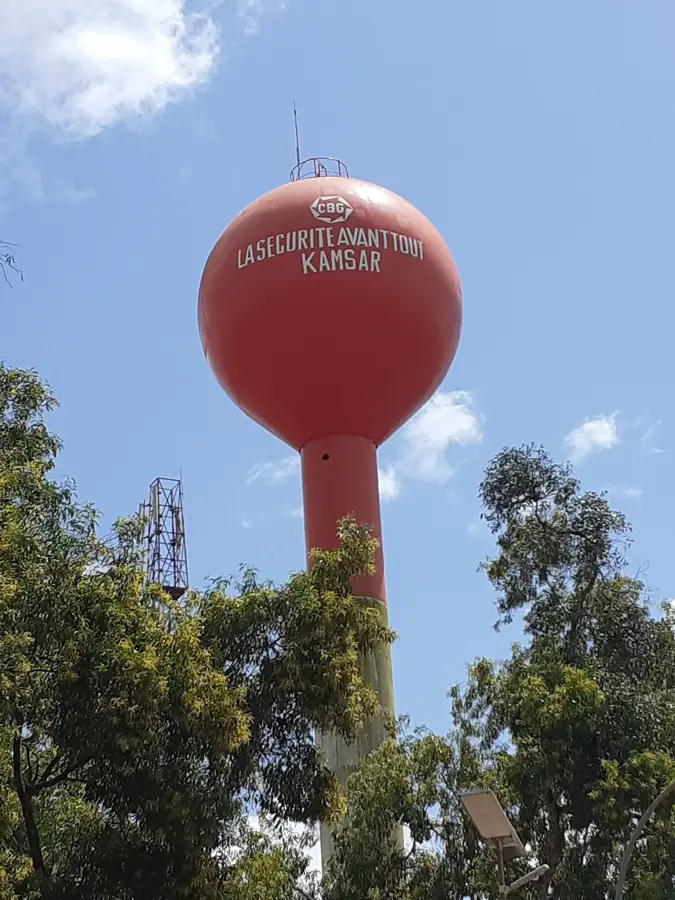
- Nearby: Kamsar (12 km)
Best time to visit & climate
The most pleasant time to visit is Jan, Feb, Dec.
| Jan | Feb | Mar | Apr | May | Jun | Jul | Aug | Sep | Oct | Nov | Dec | |
|---|---|---|---|---|---|---|---|---|---|---|---|---|
| Avg °C | 27 | 28 | 29 | 29 | 28 | 27 | 26 | 26 | 26 | 27 | 27 | 26 |
| Rain mm | 0 | 1 | 1 | 4 | 51 | 248 | 543 | 667 | 386 | 176 | 35 | 0 |
📋 Practical info
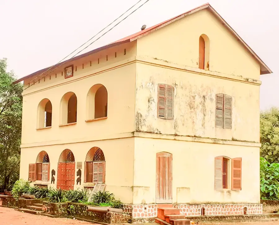
Geography
Facts
- The Rio Nuñez channel is dredged periodically to maintain depth for ore carriers.
- It is named after the 15th-century Portuguese navigator Nuno Tristão.
- The river basin is a primary habitat for the endangered West African manatee.
- Kamsar, located on its banks, handles over 15 million tons of bauxite annually.
- The river was a key site for the 19th-century 'Scramble for Africa' in Guinea.
- Its tidal influence extends over 40 kilometers inland toward the town of Boké.
Explore nearby
Notable places around
Route planner — Car & Motorhome
Where do you start? We build the route here, with stops and country notes along the way.
© OpenStreetMap contributors · OpenRouteService
Sights nearby
Frequently asked questions
Where is Rio Nuñez located?
Is the river navigable?
What economic sectors are present here?
Are there natural sights along the river?
What is the climate like at Rio Nuñez?
Rio Nuñez: where is it located?
Rio Nuñez: when is the best time to visit?
Rio Nuñez: why is it worth visiting?

Nearby cities


Nature
More places