Plizio Visual Lab
Bedanda

ℹ️Practical info — Bedanda
▾
🌤 Weather — 5 days
📍 Nearby
Sights nearby
💡 Tips
- Access can be challenging during the rainy season, so plan your route accordingly.
- Bring all essential medications and special supplies from the capital.
- Cash is king; carry enough West African CFA francs.
- Portuguese Creole is the main lingua franca used here.
🍽 Food
The region's dietary staple, served at the small village eateries.
A highly local and strictly seasonal beverage worth trying.
Extremely fresh and juicy at the stands during the harvest season.
🛍 Shopping · 🧘 Quiet spots
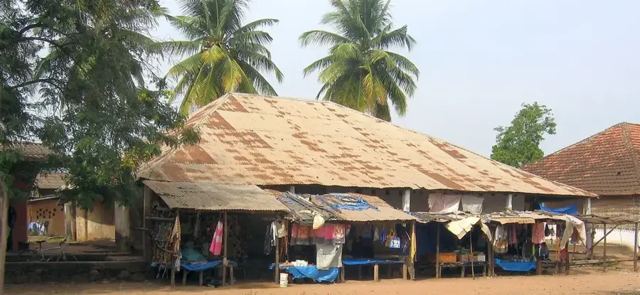
Simple stalls for basic daily necessities and simple agricultural produce.
Buy fresh catch directly near the water early in the morning.
Take a peaceful, nature-filled walk near the water channels.
Enjoy the extremely slow and peaceful pace of deep rural life.
Water temperature…
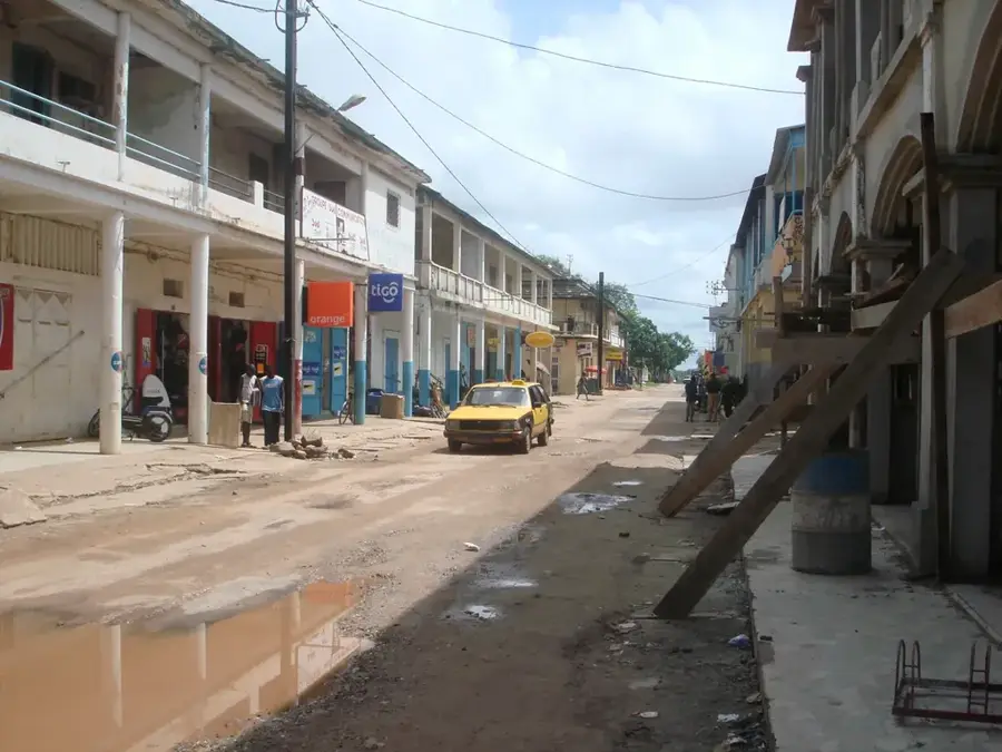
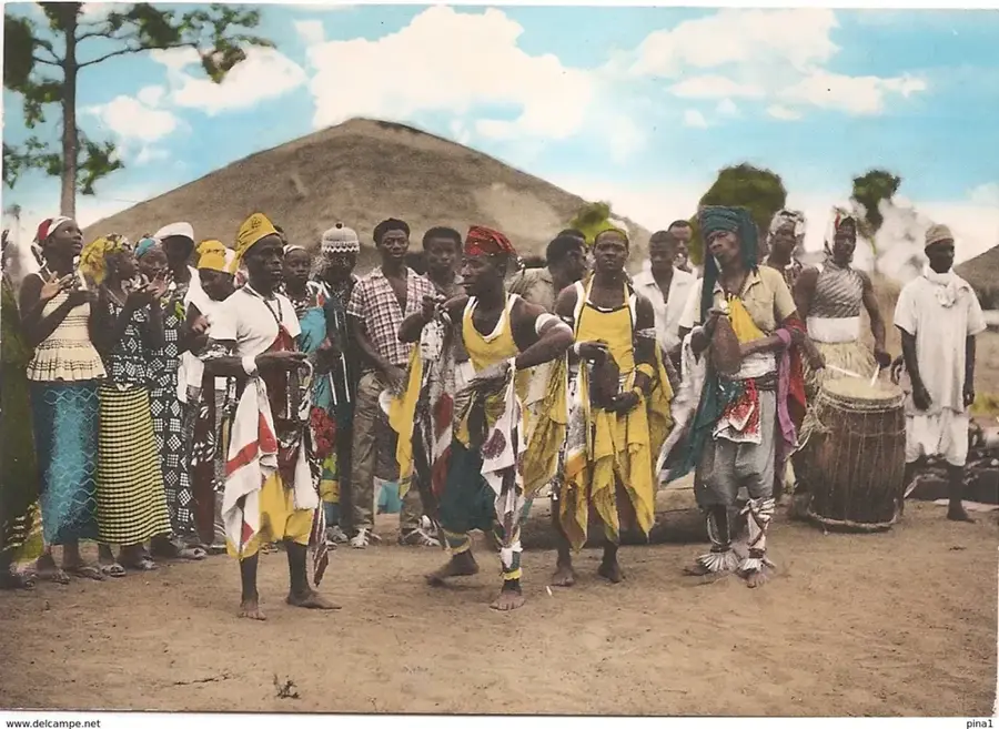
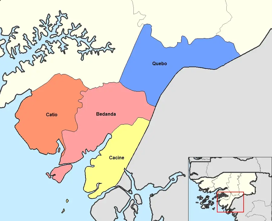
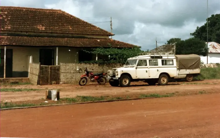
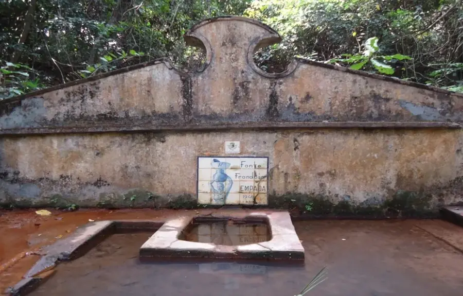
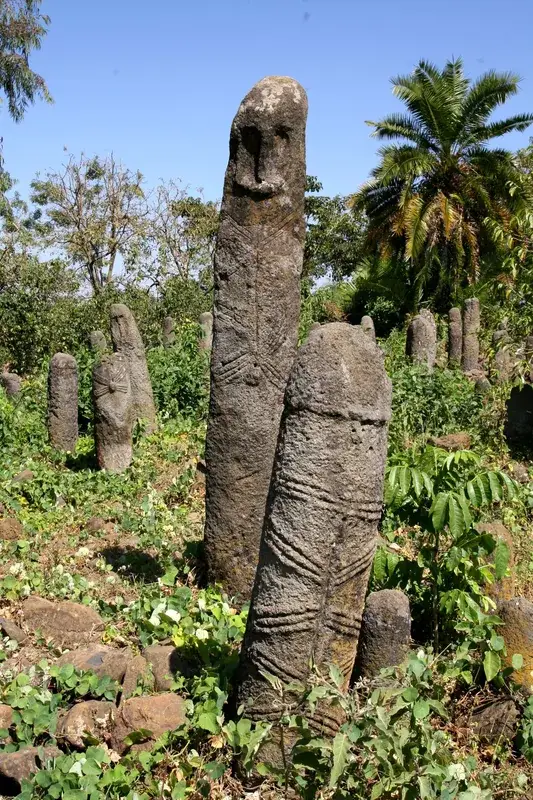
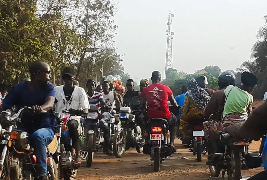
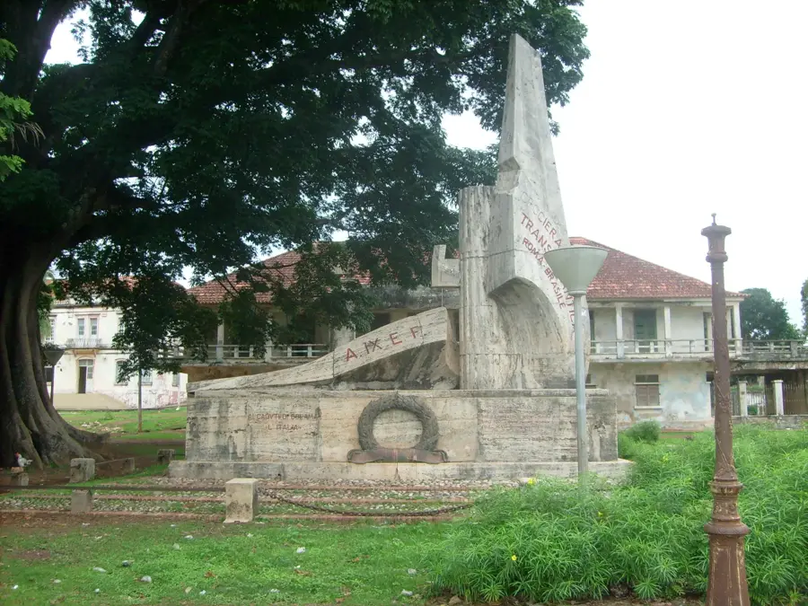
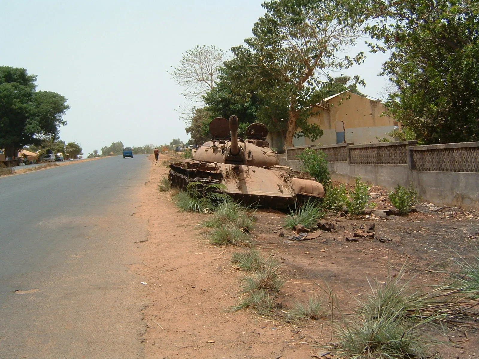
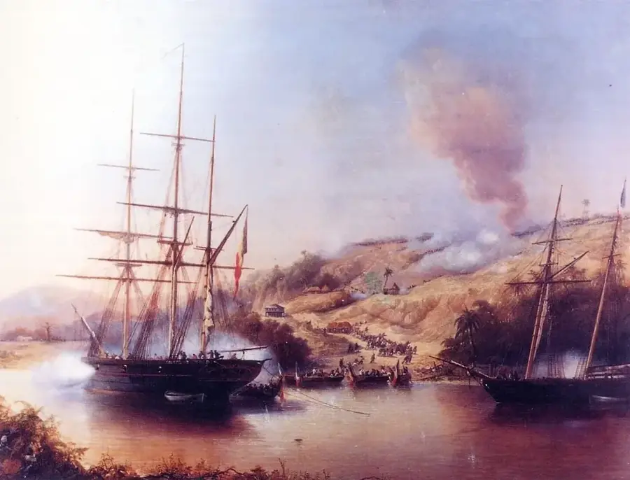
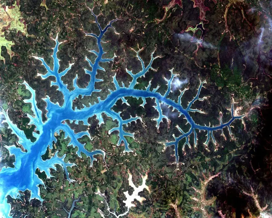
Bedanda is a significant town in southern Guinea-Bissau, located on the Cubucaré peninsula within the Tombali Region. The region is well-known for its strong sense of community and its history of resistance during the colonial era. Bedanda serves as a focal point for the agricultural organization of the peninsula, where rice is primarily cultivated using traditional coastal polder systems. The surrounding environment is characterized by high biodiversity, including dense forests and mangrove systems that are part of the broader Cantanhez ecosystem. Historically, Bedanda was an important base for PAIGC fighters and played a crucial role in mobilizing the rural population during the liberation struggle. Today, the town strives for sustainable development by protecting local resources and improving access to education and healthcare. The cultural identity of the region is deeply intertwined with the forests and the ancestral agricultural practices of the ethnic groups residing there.
- Location: Guinea-Bissau
- Nearby: Cacine (4 km)
- Population: ~1.151 (2023)
Best time to visit & climate
The most pleasant time to visit is Jan, Feb, Dec.
| Jan | Feb | Mar | Apr | May | Jun | Jul | Aug | Sep | Oct | Nov | Dec | |
|---|---|---|---|---|---|---|---|---|---|---|---|---|
| Avg °C | 26 | 28 | 28 | 29 | 29 | 28 | 26 | 26 | 26 | 27 | 27 | 26 |
| Rain mm | 0 | 0 | 2 | 1 | 32 | 193 | 454 | 575 | 376 | 185 | 23 | 0 |
Geography
Facts
- Located on the Cubucaré peninsula in the Tombali Region
- Center of traditional rice cultivation using polders
- Part of the ecologically valuable Cantanhez area
- Former base for the anti-colonial resistance movement
- Known for its strong local community cohesion
- Important site for sustainable agricultural initiatives
Explore nearby
Notable places around
Route planner — Car & Motorhome
Where do you start? We build the route here, with stops and country notes along the way.
© OpenStreetMap contributors · OpenRouteService
Frequently asked questions
Why go to Bedanda?
What to see in the park?
Accommodation?
Best time to visit?
Do you need a guide?
Bedanda: where is it located?
Bedanda: when is the best time to visit?
Bedanda: why is it worth visiting?

Nearby cities
Nature
More places