Plizio Visual Lab
Kolaboui
ℹ️Practical info — Kolaboui
▾
🌤 Weather — 5 days
📍 Nearby
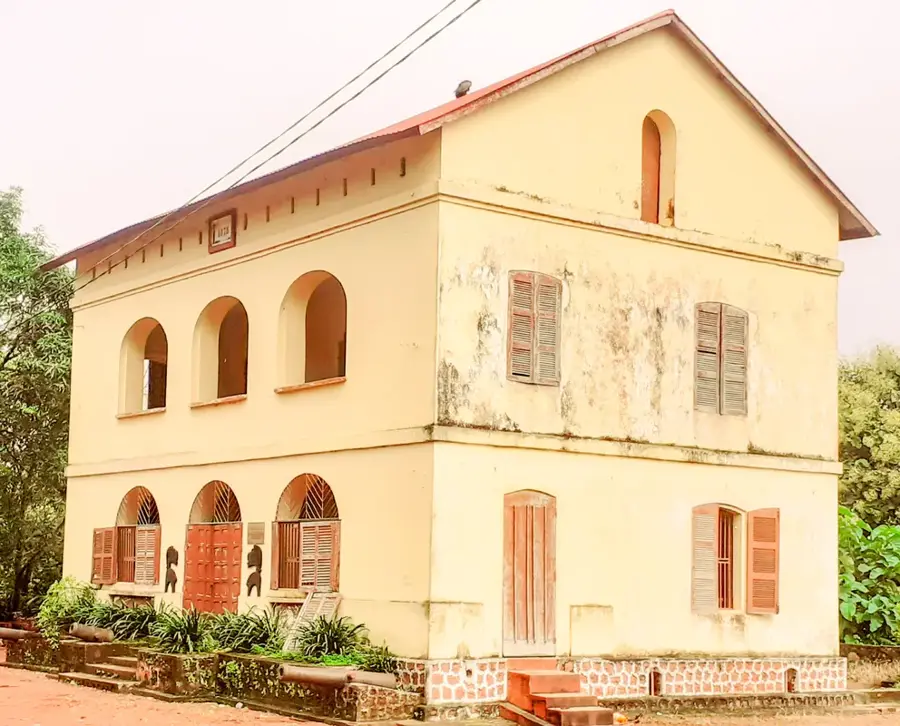
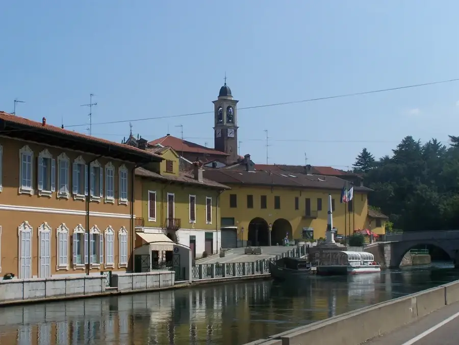
Sights nearby
💡 Tips
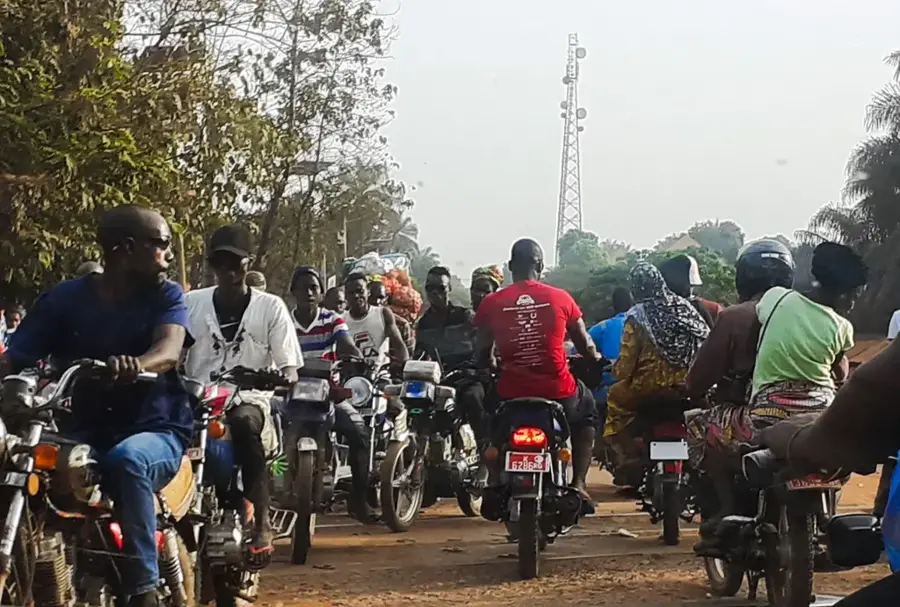
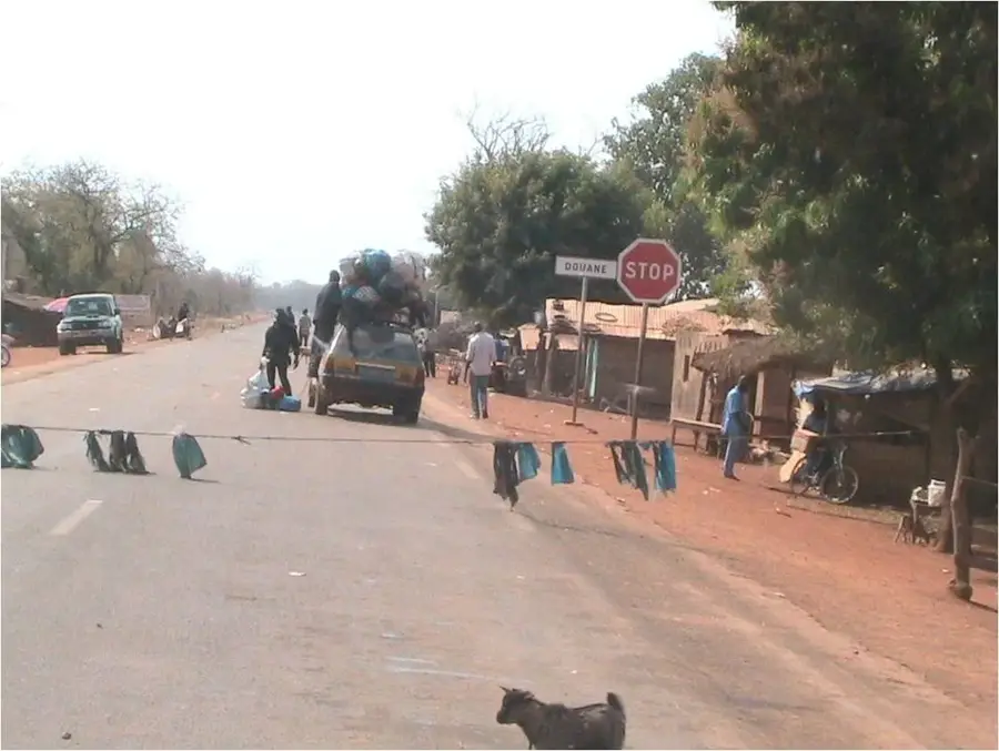
- Kolaboui is a busy transport hub; expect dust and many trucks along the main roads.
- Cash is essential as functioning ATMs are rare or often empty.
- French is the official language, but a few words in Susu will open many doors.
- Stock up on water and snacks at the central transport depot before traveling onward.
🍽 Food
Chicken in an onion-lemon marinade, often served at simple roadside stalls.
A hearty local dish, good for refuelling at the small food stalls near the market.
Buy fresh mangoes or bananas directly from the vendors on the street.
🛍 Shopping · 🧘 Quiet spots
Here you will find all the essentials for your onward journey and local snacks.
Look for colorful, local textiles at the market stalls.
Leave the main traffic axis for quieter village paths in nature.
The courtyards often offer some shade and quiet away from the trucks.
Water temperature…
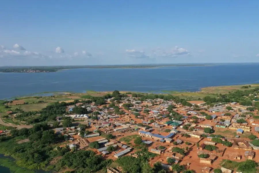
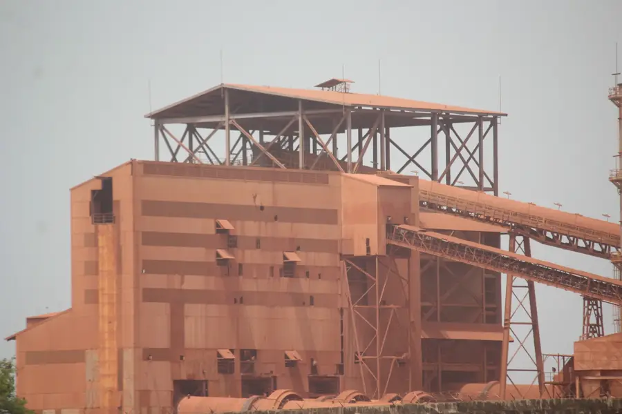
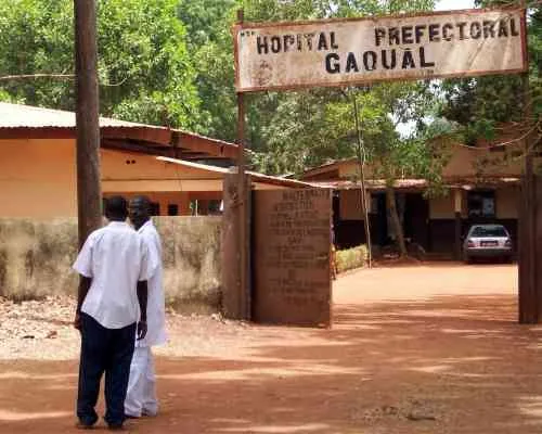
Kolaboui is a rapidly growing town in the Boké Prefecture, strategically known as the "crossroads of bauxite." It is located at the critical junction connecting the regional capital of Boké, the mining hub of Sangarédi, and the export port of Kamsar. Geographically, Kolaboui lies within the coastal savanna zone of Maritime Guinea, featuring flat terrain and a humid tropical climate. Over the last decade, Kolaboui has experienced a population explosion as it serves as a logistics and transit hub for several major international mining companies. Its economy thrives on trade and services; the local market has become one of the most dynamic in the region, acting as a supply center for the mining workforce. Despite its economic importance, the town faces significant urban planning challenges due to the speed of its growth. Culturally, Kolaboui is a melting pot, where the indigenous Landuma and Baga peoples now live alongside a diverse influx of migrants from all over Guinea, drawn by the opportunities within the bauxite corridor.
- Location: Guinea
- Nearby: Boké (23 km)
- Population: ~57.251 (2026)
Best time to visit & climate
The most pleasant time to visit is Jan, Nov, Dec.
| Jan | Feb | Mar | Apr | May | Jun | Jul | Aug | Sep | Oct | Nov | Dec | |
|---|---|---|---|---|---|---|---|---|---|---|---|---|
| Avg °C | 27 | 29 | 30 | 30 | 30 | 27 | 26 | 25 | 26 | 26 | 26 | 25 |
| Rain mm | 0 | 0 | 1 | 3 | 46 | 220 | 477 | 587 | 377 | 178 | 28 | 0 |
Geography
Facts
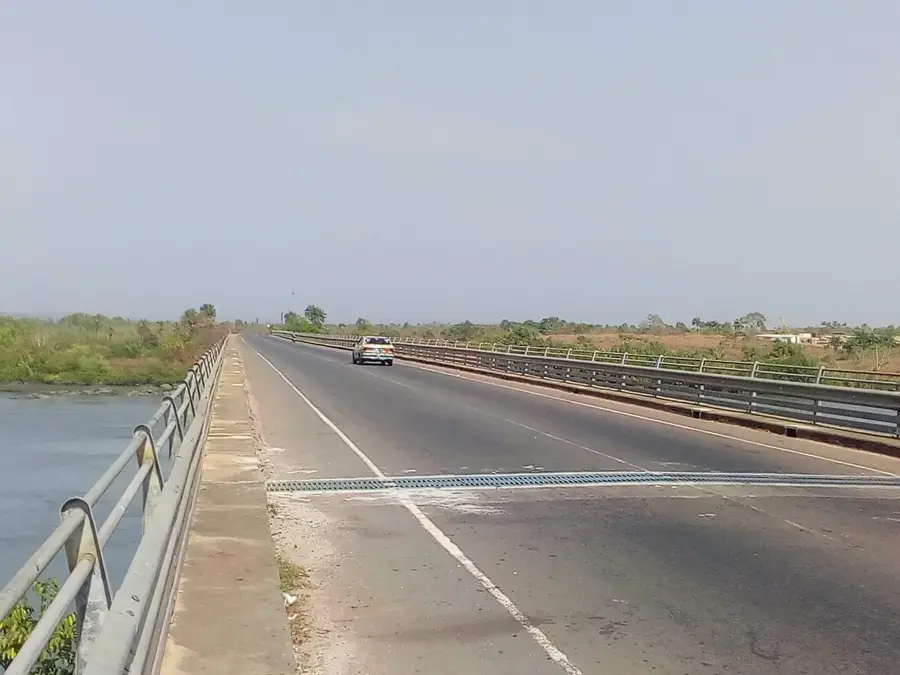
- Kolaboui is the most critical transport junction in the Guinean bauxite corridor.
- The town sits at the strategic intersection of the N22 and N3 highways.
- The heavy-haul bauxite railway line runs directly adjacent to the town.
- Kolaboui has evolved from a small village to a major urban center in a decade.
- The town's market is a primary supply hub for the region's mining industry.
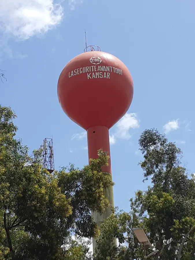
- It serves as a logistics base for major mining firms like SMB and CBG.
Explore nearby
Notable places around
Route planner — Car & Motorhome
Where do you start? We build the route here, with stops and country notes along the way.
© OpenStreetMap contributors · OpenRouteService
Frequently asked questions
What is the role of Kolaboui?
What is there to see in the city?
What is the road connection like?
Are there markets there?
What industries are nearby?
Kolaboui: where is it located?
Kolaboui: when is the best time to visit?
Kolaboui: why is it worth visiting?

Nearby cities

Nature
More places