Plizio Visual Lab
Raduša
Weather…
Water temperature…
The Raduša mountain range is situated in the central part of Bosnia and Herzegovina, stretching between the municipalities of Gornji Vakuf-Uskoplje and Prozor-Rama. Its highest peak is Idovac, reaching an elevation of 1,956 meters above sea level, providing expansive views of the Vrbas valley and the surrounding Dinaric Alps. Geologically, the massif is composed mainly of limestone and dolomite, which has led to the formation of typical karst features such as sinkholes and caves. Historically, the region has been known for its pastoral traditions, with vast mountain meadows serving as grazing grounds for sheep for centuries. In recent times, the mountain has gained prominence due to the development of the Raduša Ski Center, which has boosted winter tourism in the area. The flora includes dense beech and fir forests at lower altitudes, while the summit regions are characterized by alpine vegetation. Due to its remote nature, Raduša provides an important habitat for large mammals such as brown bears and wolves.
- Location: Bosnia and Herzegovina
- Nearby: Bugojno (16 km)
Best time to visit & climate
The most pleasant time to visit is Jun–Aug.
| Jan | Feb | Mar | Apr | May | Jun | Jul | Aug | Sep | Oct | Nov | Dec | |
|---|---|---|---|---|---|---|---|---|---|---|---|---|
| Avg °C | -2 | -1 | 2 | 7 | 11 | 16 | 18 | 19 | 13 | 9 | 4 | -1 |
| Rain mm | 89 | 85 | 77 | 74 | 73 | 69 | 43 | 53 | 87 | 88 | 116 | 108 |
📋 Practical info
Geography
Facts
- The highest peak, Idovac, stands at 1,956 meters above sea level.
- The mountain forms a natural border between Central Bosnia and Herzegovina.
- Raduša is home to one of the most modern ski resorts in the country.
- Geologically, the massif belongs to the central zone of the Dinarides.
- The nearby artificial Lake Rama is a significant hydroelectric reservoir.
- Annual precipitation is high due to the mountain's position affecting air masses.
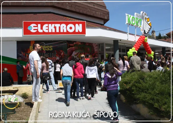
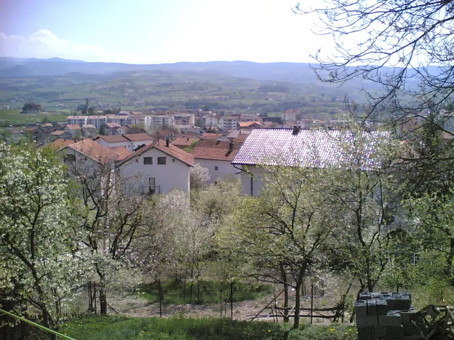
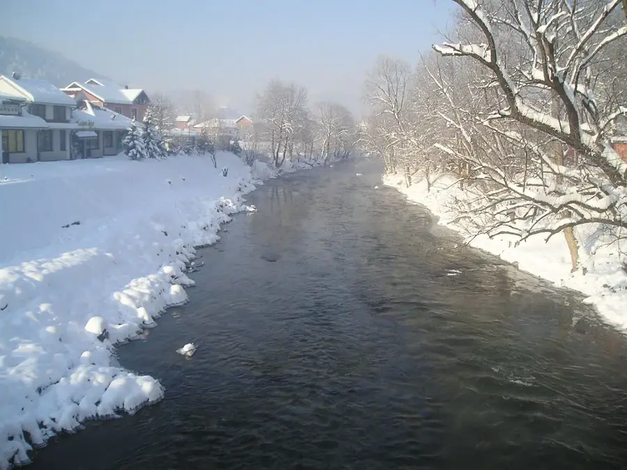
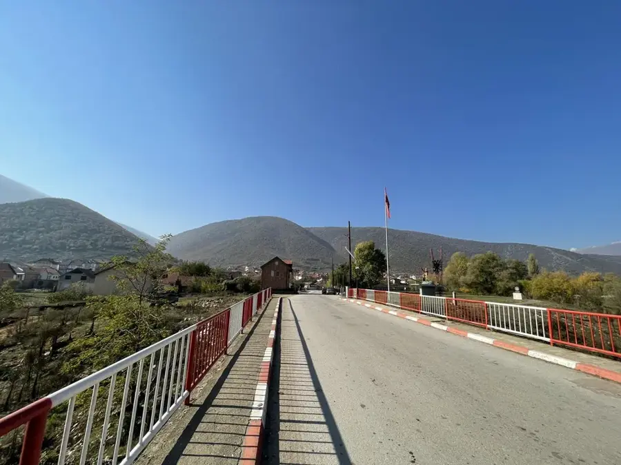
Explore nearby
Notable places around
Route planner — Car & Motorhome
Where do you start? We build the route here, with stops and country notes along the way.
© OpenStreetMap contributors · OpenRouteService
Sights nearby
Frequently asked questions
What makes Raduša mountain special?
Is there a ski center there?
What are the road conditions?
Can you go hiking there in summer?
Is there catering directly on the slope?
Raduša: where is it located?
Raduša: when is the best time to visit?
Raduša: why is it worth visiting?
Nearby cities