Plizio Visual Lab
Maglić
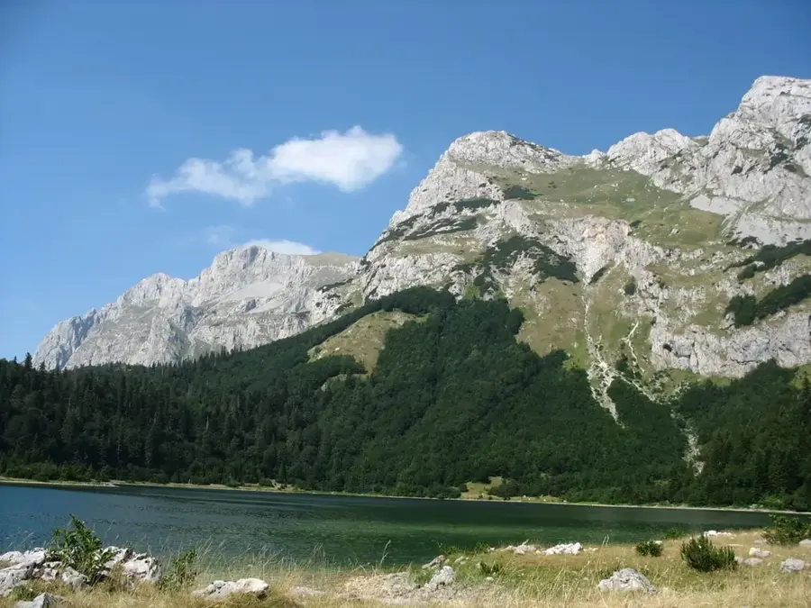
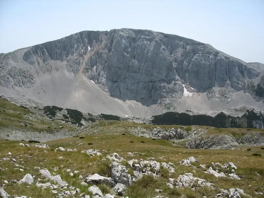
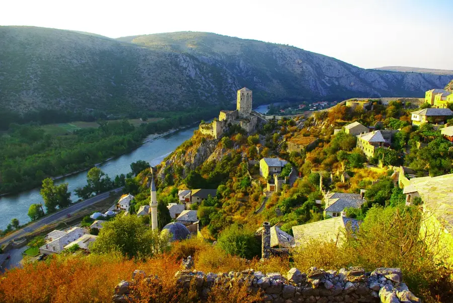
At 2,386 meters, Maglić is the highest mountain in Bosnia and Herzegovina, located within the Sutjeska National Park on the border with Montenegro. The mountain massif consists predominantly of limestone and calcareous marl, leading to a rugged topography with steep rock faces and deep valleys. A standout feature at the foot of Maglić is the Perućica Primeval Forest, one of Europe's last true primary forests, which is strictly protected. The flora is exceptionally diverse, comprising over 2,600 vascular plant species, including many Dinaric endemics. The climate on Maglić is alpine, with snowfields often persisting late into the summer months. Historically, the area is closely linked to World War II events, particularly the Battle of the Sutjeska. For mountaineers, Maglić presents a significant challenge due to its technical demands and spectacular views over the heart-shaped Trnovačko Lake in Montenegro. The ecological integrity of the massif has been maintained through its national park status since 1962.
- Location: Bosnia and Herzegovina
- Top sights: Maglić · Veliki Maglić · Carev Do
- Nearby: Sutjeska National Park (7 km)
Best time to visit & climate
The most pleasant time to visit is Jun–Aug.
| Jan | Feb | Mar | Apr | May | Jun | Jul | Aug | Sep | Oct | Nov | Dec | |
|---|---|---|---|---|---|---|---|---|---|---|---|---|
| Avg °C | -2 | -1 | 3 | 7 | 12 | 16 | 18 | 18 | 13 | 9 | 4 | -1 |
| Rain mm | 89 | 87 | 86 | 74 | 86 | 101 | 65 | 55 | 84 | 92 | 108 | 100 |
📋 Practical info
Geography
Facts
- Highest peak in the country at 2,386 meters
- Part of the oldest national park (Sutjeska)
- Home to the Perućica Primeval Forest at its base
- Geological composition is primarily limestone
- Snowfields often persist throughout the year
- Overlooks the heart-shaped Trnovačko Lake
Explore nearby
Notable places around
Route planner — Car & Motorhome
Where do you start? We build the route here, with stops and country notes along the way.
© OpenStreetMap contributors · OpenRouteService
Sights in the town Maglić (3)
Sights nearby
Frequently asked questions
How high is Maglić?
How long does the climb take?
Is climbing equipment needed?
Where exactly is the mountain located?
Can you see Trnovačko Lake from the top?
Maglić: where is it located?
Maglić: what is there to see?
Maglić: when is the best time to visit?
Maglić: why is it worth visiting?
Nearby cities


History & landmarks
Nature

More places