Plizio Visual Lab
Volujak
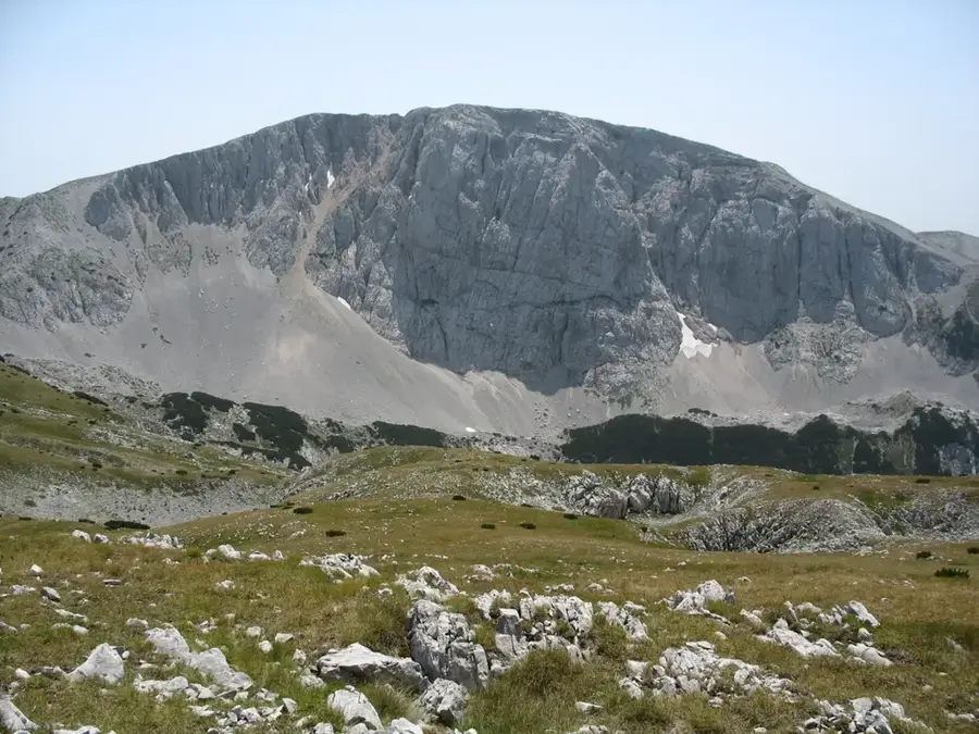
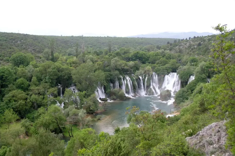
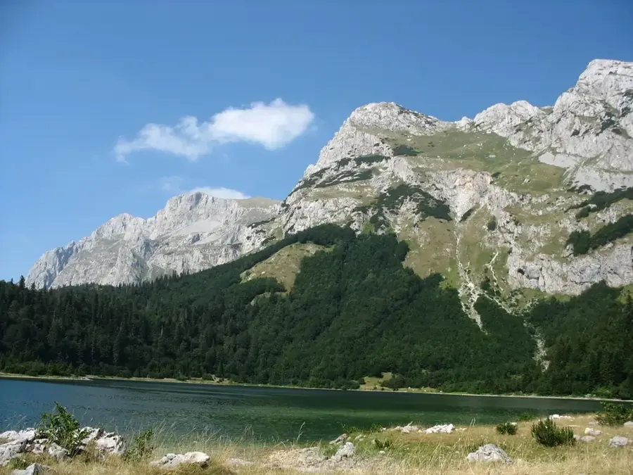
The Volujak Mountain is an imposing massif on the border between Bosnia and Herzegovina and Montenegro, forming part of the Sutjeska National Park complex. The highest peak on Bosnian territory is Studenac at 2,294 meters, while Veliki Volujak on the Montenegrin side rises even higher. Geologically, the mountain is composed of limestone and dolomite, resulting in rugged rock walls, deep glacial cirques, and vast high plateaus. The landscape is marked by traces of ice age glaciation, including moraines and U-shaped valleys, which provide a dramatic backdrop. The mountain is rich in alpine flora and fauna, with rare species like chamois and golden eagles finding a protected home here. Volujak is a popular destination for experienced mountaineers and hikers, as the climbs are considered technically demanding, offering wide vistas of the neighboring Maglić and Bioč mountains. The climate is high-alpine, meaning that snowfields often persist into mid-summer in shaded hollows. Historically, the mountain has often served as a natural border and was the scene of significant military events during World War II.
- Location: Bosnia and Herzegovina
- Top sights: Volujak · Trnovački Durmitor · Trzivka
- Nearby: Sutjeska National Park (12 km)
Best time to visit & climate
The most pleasant time to visit is Jun–Aug.
| Jan | Feb | Mar | Apr | May | Jun | Jul | Aug | Sep | Oct | Nov | Dec | |
|---|---|---|---|---|---|---|---|---|---|---|---|---|
| Avg °C | -2 | -1 | 2 | 7 | 11 | 15 | 18 | 18 | 13 | 9 | 4 | -1 |
| Rain mm | 134 | 131 | 121 | 93 | 89 | 83 | 52 | 49 | 104 | 124 | 162 | 152 |
📋 Practical info
Geography
Facts
- Studenac is the highest point on the Bosnian side at 2,294 meters.
- Volujak is part of Sutjeska National Park, the oldest in the country.
- The mountain forms the watershed between the Drina and Neretva rivers.
- Rugged cliff faces reach heights of over 500 meters in some places.
- The massif contains several glacial lakes on the Montenegrin side.
- Bears and wolves are native to the lower forested regions of the mountain.
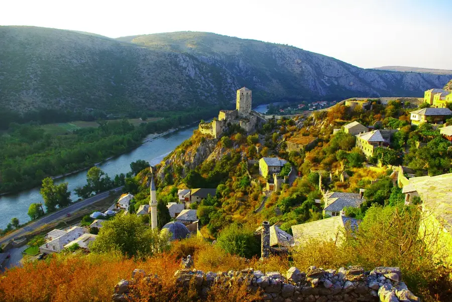
Explore nearby
Notable places around
Route planner — Car & Motorhome
Where do you start? We build the route here, with stops and country notes along the way.
© OpenStreetMap contributors · OpenRouteService
Sights in the town Volujak (4)
Trzivka
Mountain in Montenegro, known for its steep slopes and surrounding forests.
Sights nearby
Frequently asked questions
Where is the Volujak mountain located?
How high is the highest peak?
How demanding are the hikes?
When is the best time for mountaineering?
Are there marked trails?
Volujak: where is it located?
Volujak: what is there to see?
Volujak: when is the best time to visit?
Volujak: why is it worth visiting?
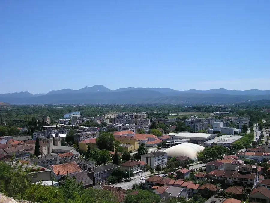
Nearby cities