Plizio Visual Lab
Bijela Gora
Weather…
Water temperature…
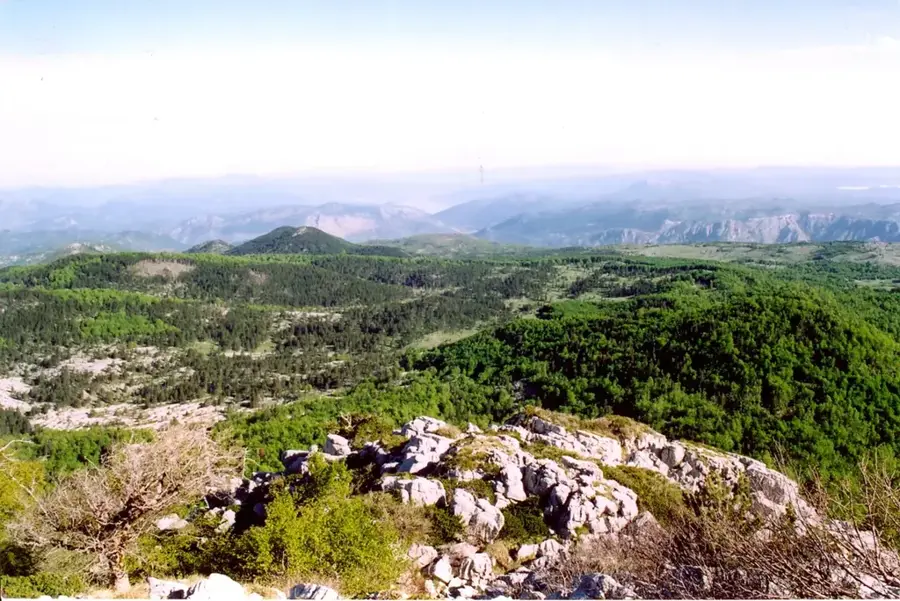
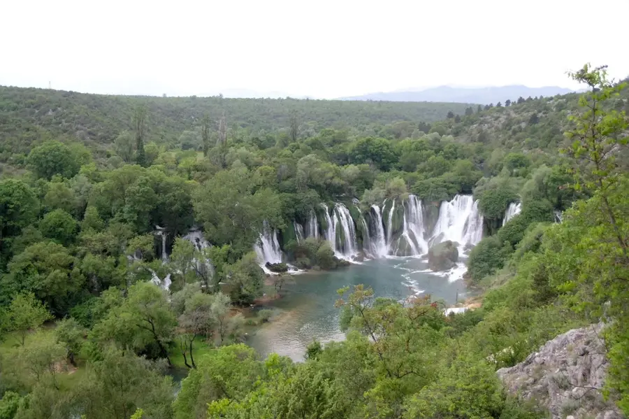
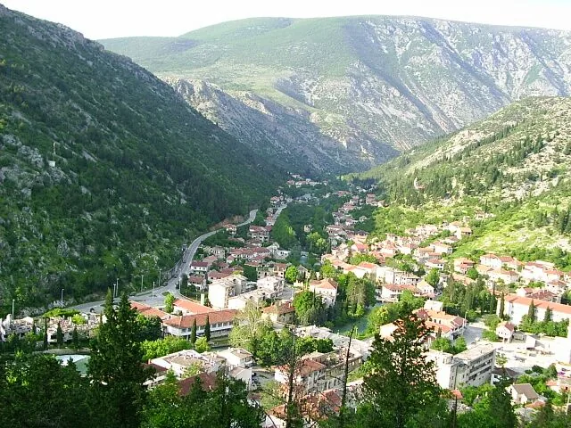
Bijela Gora is a prominent karst plateau and mountain massif in southeastern Bosnia and Herzegovina, forming part of the larger Orjen mountain range near the border with Montenegro. Its name, 'White Mountain,' is derived from the light-colored, almost white Cretaceous limestone that dominates the landscape, giving it a nearly luminous appearance. Geologically, the region is characterized by extreme karstification, featuring deep shafts, vast sinkhole fields, and an almost complete lack of surface water. Despite the dry conditions, Bijela Gora hosts significant stands of the rare Bosnian pine (Pinus heldreichii), which is exceptionally adapted to the harsh environment. Historically, the plateau was a remote sanctuary and borderland, militarily difficult to control due to its challenging terrain. Today, it is an essential research area for geologists and biologists, as well as a demanding destination for mountaineers who appreciate its rugged, nearly uninhabited wilderness. The combination of Mediterranean influences and alpine climate creates a unique ecological niche within the Dinaric Alps.
- Location: Bosnia and Herzegovina
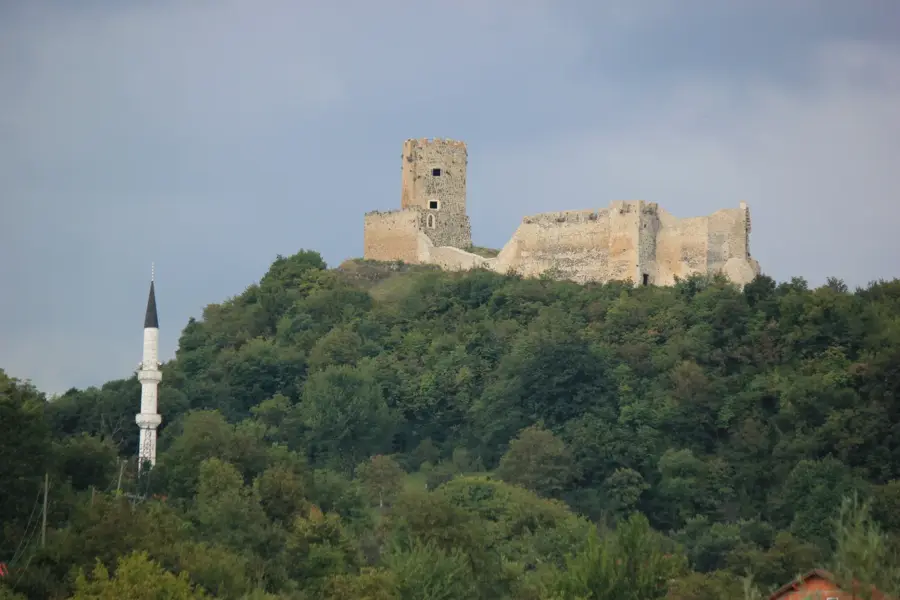
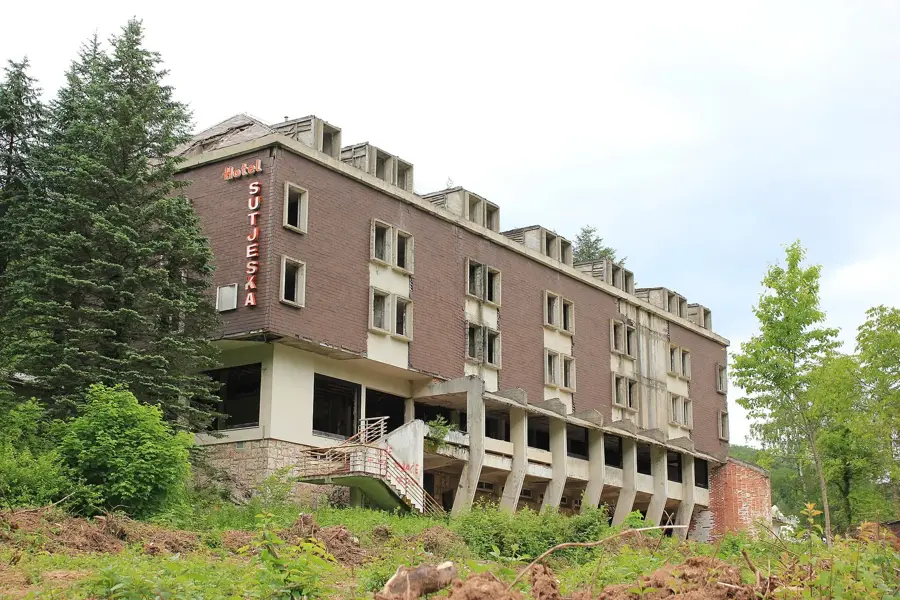
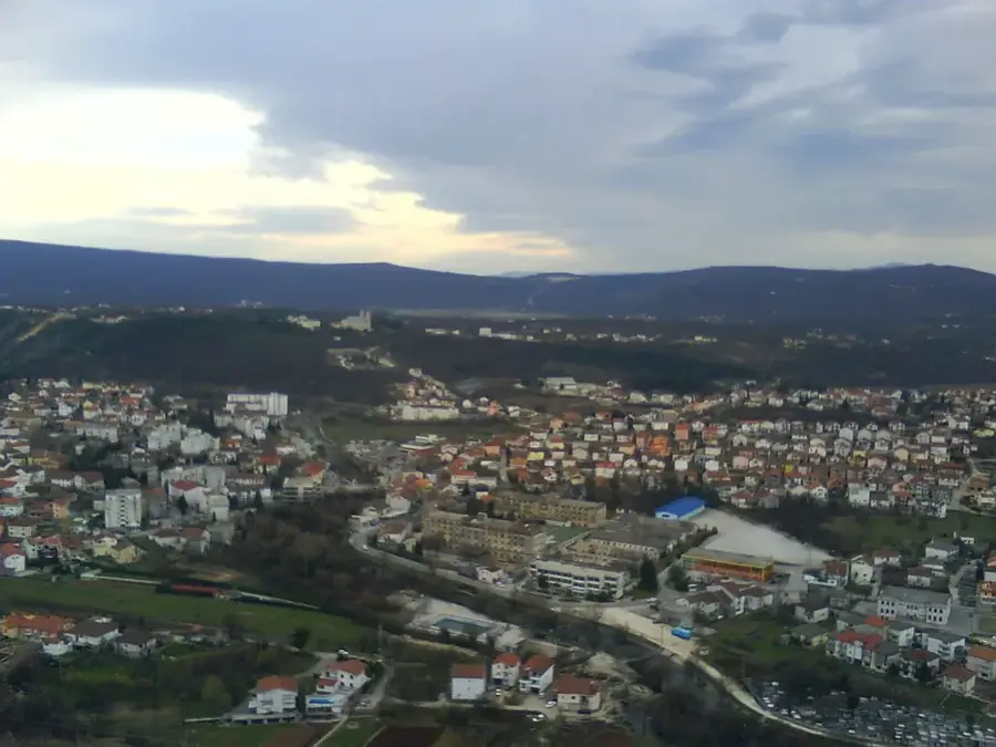
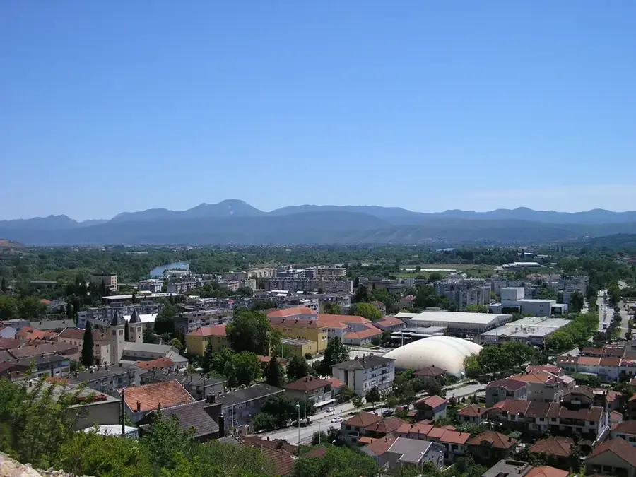
- Top sights: Sutjeska National Park · Borić
- Nearby: Sutjeska National Park (4 km)
Best time to visit & climate
The most pleasant time to visit is Jun–Aug.
| Jan | Feb | Mar | Apr | May | Jun | Jul | Aug | Sep | Oct | Nov | Dec | |
|---|---|---|---|---|---|---|---|---|---|---|---|---|
| Avg °C | -2 | -1 | 3 | 7 | 12 | 16 | 18 | 18 | 13 | 9 | 4 | -1 |
| Rain mm | 89 | 87 | 86 | 74 | 86 | 101 | 65 | 55 | 84 | 92 | 108 | 100 |
📋 Practical info
Geography
Facts
- Bijela Gora reaches elevations of over 1,800 meters above sea level.
- The plateau is one of the rainiest areas in Europe, despite the lack of surface water.
- Geologically, the massif consists almost entirely of limestone and dolomite.
- The Bosnian pines (Pinus heldreichii) here can live for over 1,000 years.
- The area is famous for its extremely deep vertical caves and shafts.
- There are no permanent human settlements on the high plateau of Bijela Gora.
Explore nearby
Notable places around
Route planner — Car & Motorhome
Where do you start? We build the route here, with stops and country notes along the way.
© OpenStreetMap contributors · OpenRouteService
Sights in the town Bijela Gora (2)
Sights nearby
Frequently asked questions
Where is Bijela Gora located?
Why is it called 'White Mountain'?
What is the climate like there?
What is special about the flora?
Are there hiking trails from Trebinje?
Bijela Gora: where is it located?
Bijela Gora: what is there to see?
Bijela Gora: when is the best time to visit?
Bijela Gora: why is it worth visiting?
Nearby cities


History & landmarks
More places