Plizio Visual Lab
Čemerno
Weather…
Water temperature…
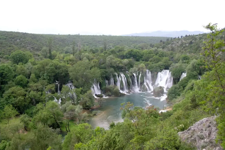
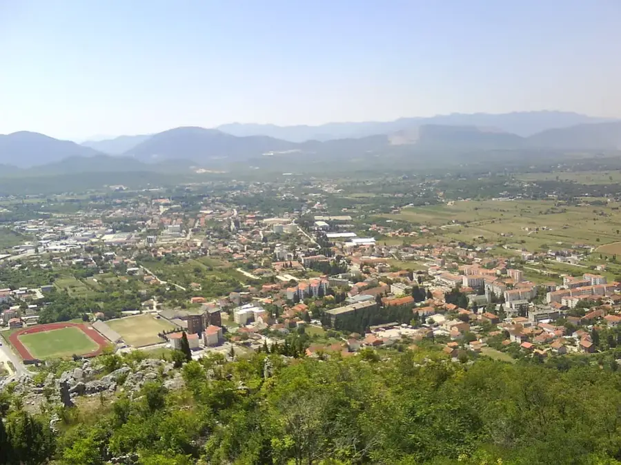
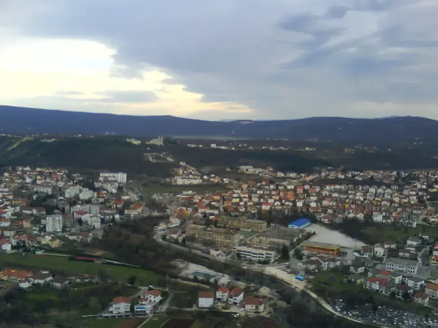
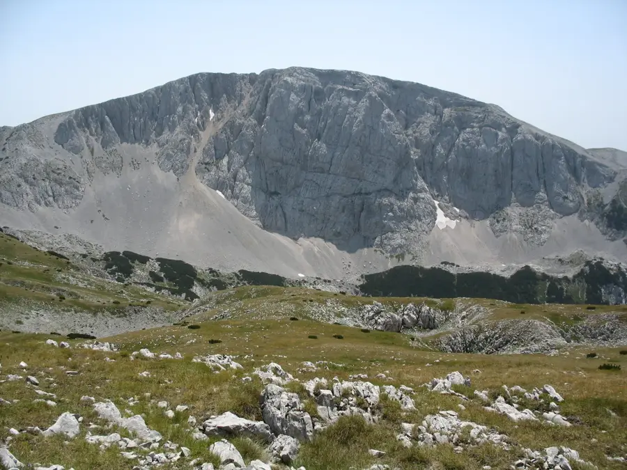
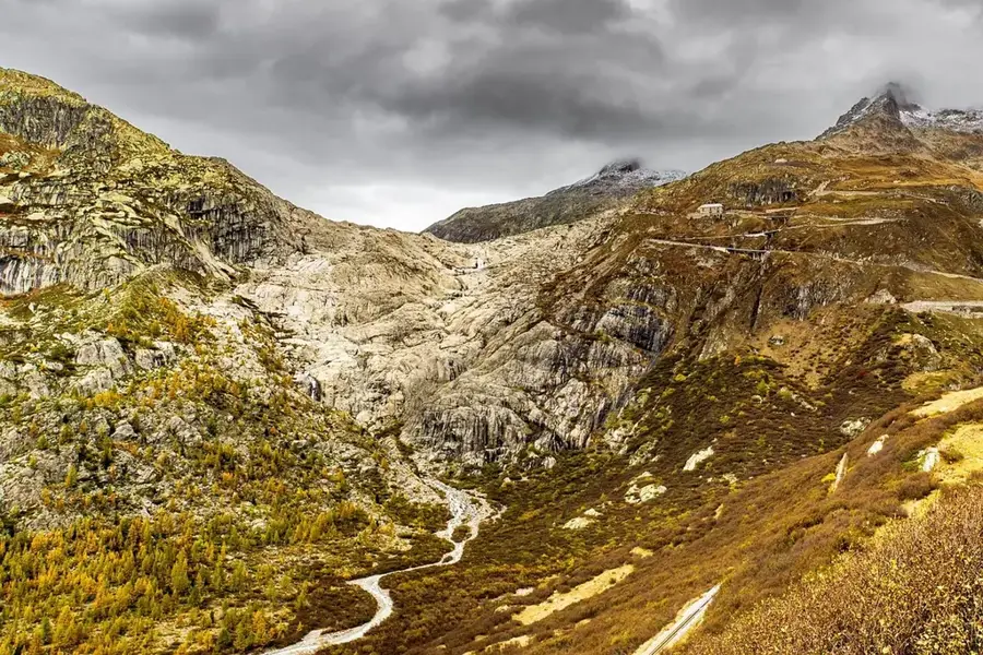
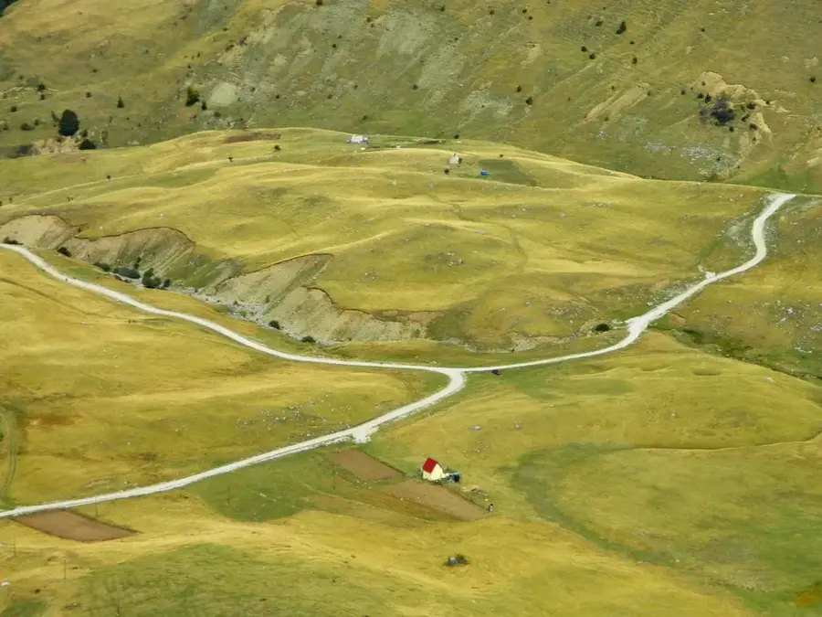
Čemerno is a strategically vital mountain pass and settlement in eastern Bosnia and Herzegovina, located within the municipality of Gacko. Situated at an elevation of approximately 1,293 meters, the pass functions as a natural watershed dividing the drainage basins of the Black Sea and the Adriatic Sea. Geographically, Čemerno connects eastern Herzegovina with the Drina Valley and the northern parts of the country, making it historically significant for trade and military movements. The surrounding landscape is characterized by rugged mountain ridges, deep gorges, and hardy alpine vegetation, often covered by heavy snowfall during the long winter months. In the late 1990s and early 2000s, significant engineering projects, including new tunnels and bridges, were completed to bypass the dangerous serpentines of the old road. The area is notorious for its harsh weather conditions, where temperatures frequently drop well below freezing, challenging local residents and travelers alike. Čemerno stands as a symbol of the logistical difficulties and engineering triumphs within the Dinaric Alps mountain range.
- Location: Bosnia and Herzegovina
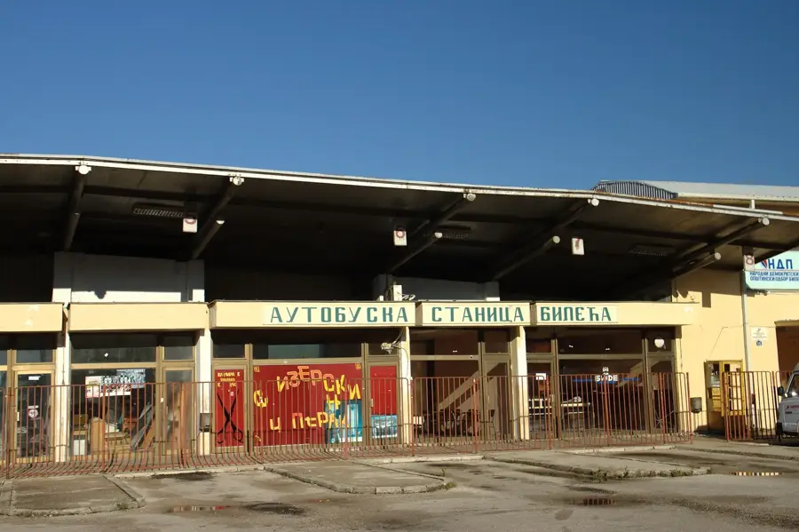
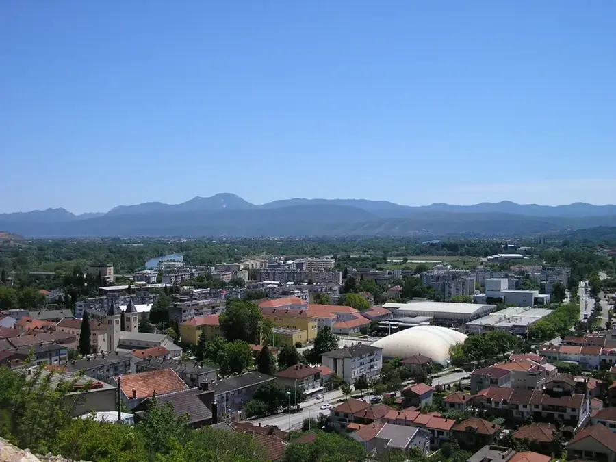
- Nearby: Gacko (11 km)
Best time to visit & climate
The most pleasant time to visit is Jun–Aug.
| Jan | Feb | Mar | Apr | May | Jun | Jul | Aug | Sep | Oct | Nov | Dec | |
|---|---|---|---|---|---|---|---|---|---|---|---|---|
| Avg °C | -2 | -1 | 3 | 7 | 12 | 16 | 18 | 18 | 13 | 9 | 4 | -1 |
| Rain mm | 89 | 87 | 86 | 74 | 86 | 101 | 65 | 55 | 84 | 92 | 108 | 100 |
📋 Practical info
Geography
Facts
- The Čemerno pass is located at an elevation of 1,293 meters above sea level.
- It marks the hydrological divide between the Neretva (Adriatic) and Drina (Black Sea) basins.
- The new 'Čemerno' road tunnel was officially opened to traffic in 2013.
- The pass provides the primary road link between the towns of Gacko and Foča.
- Snow accumulation at the pass can regularly exceed two meters during peak winter.
- Historical records mention the pass as a critical bottleneck for regional logistics for centuries.
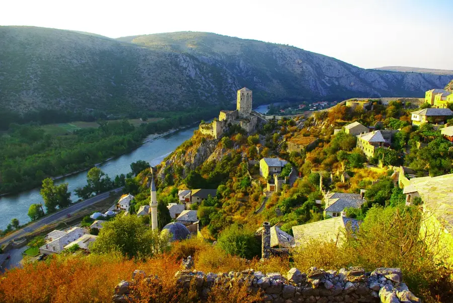
Explore nearby
Notable places around
Route planner — Car & Motorhome
Where do you start? We build the route here, with stops and country notes along the way.
© OpenStreetMap contributors · OpenRouteService
Sights in the town Čemerno (1)
Sights nearby
Frequently asked questions
What is Čemerno?
Where is Čemerno located?
What is the climate like there?
How high is the pass?
Are there hiking opportunities?
Čemerno: where is it located?
Čemerno: when is the best time to visit?
Čemerno: why is it worth visiting?
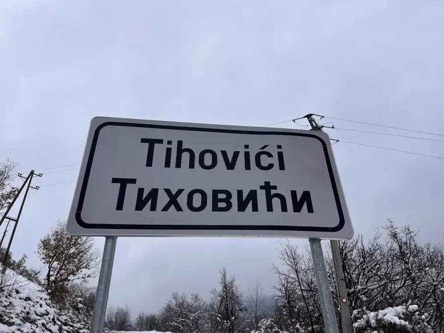
Nearby cities