Plizio Visual Lab
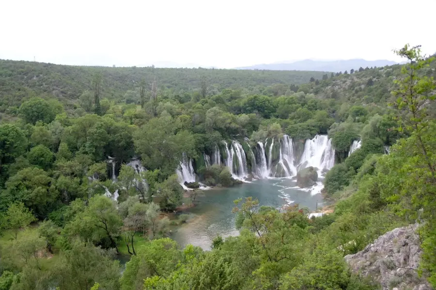
Mostarska Blata
Weather…
Water temperature…
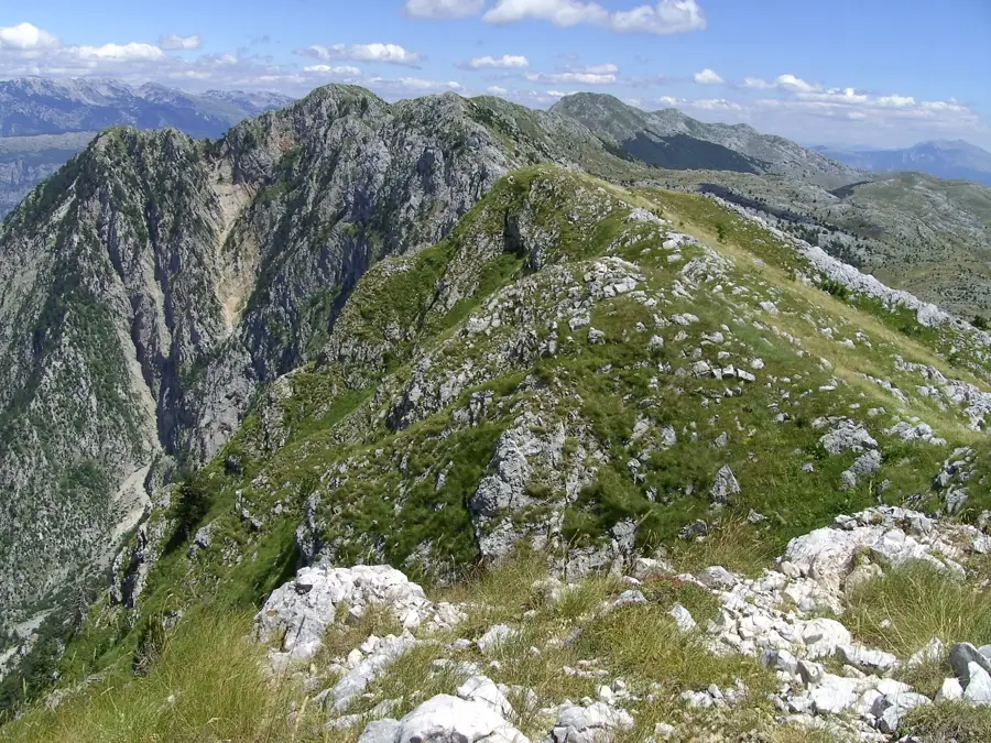
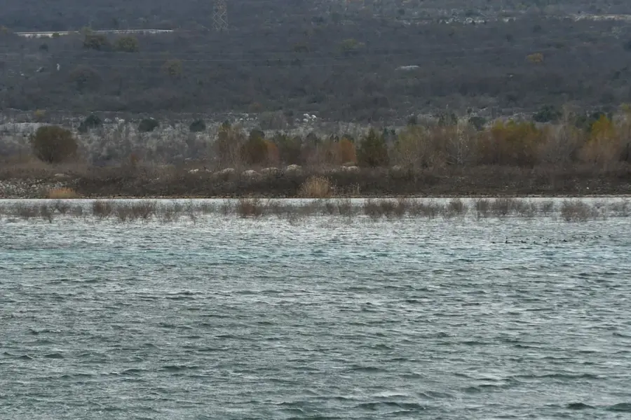
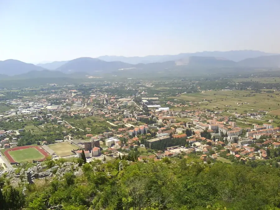
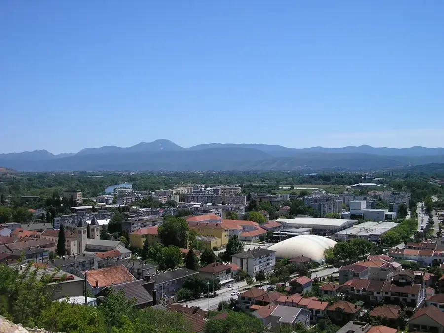
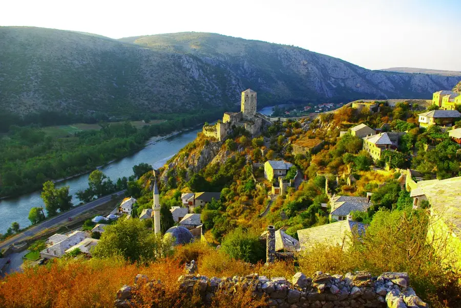
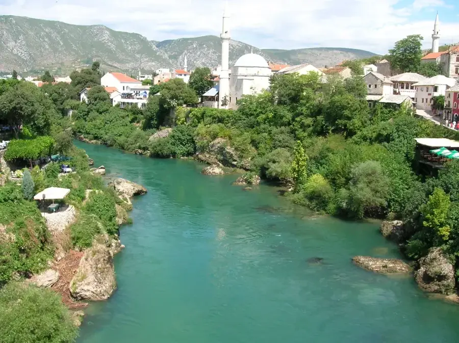
Mostarska Blata is a prominent karst basin located west of the city of Mostar in Herzegovina, covering an area of approximately 38 square kilometers. Geographically situated at the foot of the Čabulja Mountain, it is a classic example of a periodically flooded polje, where water covers large parts of the basin in winter and drains almost entirely underground during the summer. The primary watercourse in the basin is the Lištica River, which flows across the field and disappears into numerous sinkholes, known as ponors. In recent decades, the area has been significantly altered, particularly by the construction of the Mostarsko Blato hydroelectric power plant, which diverts water through tunnels for energy production. Despite these engineering interventions, the area remains a vital habitat for various bird species and amphibians adapted to fluctuating water levels. Agriculturally, the field is used in summer for growing vegetables and vineyards, as the soil is enriched by winter sediment deposits. The region also holds cultural significance, marking a transition between different climatic and geographical zones of Herzegovina.
- Location: Bosnia and Herzegovina
- Top sights: Polog, Mostar · Potkraj, Široki Brijeg · Jare, Široki Brijeg
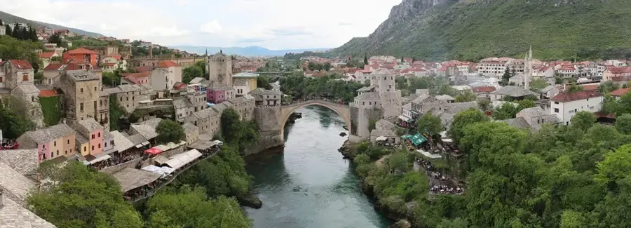
- Nearby: Široki Brijeg (9 km)
Best time to visit & climate
The most pleasant time to visit is Jun–Aug.
| Jan | Feb | Mar | Apr | May | Jun | Jul | Aug | Sep | Oct | Nov | Dec | |
|---|---|---|---|---|---|---|---|---|---|---|---|---|
| Avg °C | 0 | 1 | 4 | 9 | 13 | 18 | 21 | 22 | 16 | 11 | 6 | 1 |
| Rain mm | 105 | 99 | 88 | 73 | 64 | 52 | 32 | 40 | 84 | 95 | 128 | 123 |
📋 Practical info
Geography
Facts
- Mostarska Blata is situated at an average elevation of 230 meters.
- The area of the karst field is approximately 3,800 hectares.
- The Lištica River is the most important surface water source.
- The Mostarsko Blato hydroelectric plant began operations in 2010.
- During the rainy season, the water level in the basin can rise by several meters.
- The area is well-known for cultivating the local Blatina grape variety.
Explore nearby
Notable places around
Route planner — Car & Motorhome
Where do you start? We build the route here, with stops and country notes along the way.
© OpenStreetMap contributors · OpenRouteService
Sights in the town Mostarska Blata (3)
Sights nearby
Frequently asked questions
What is Mostarska Blata?
When is the field under water?
What is grown there?
Can you go birdwatching there?
How do you reach Mostarska Blata?
Mostarska Blata: where is it located?
Mostarska Blata: what is there to see?
Mostarska Blata: when is the best time to visit?
Mostarska Blata: why is it worth visiting?
Nearby cities


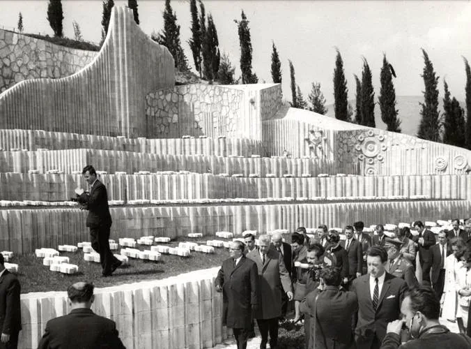
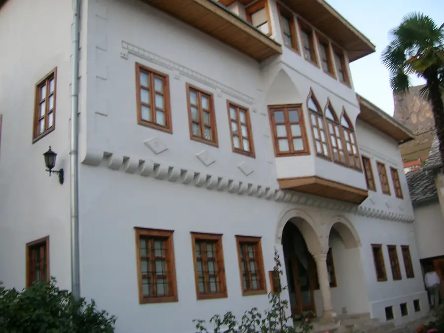
History & landmarks
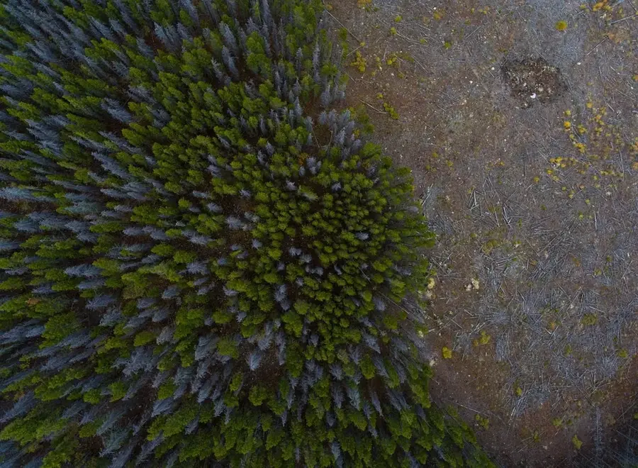
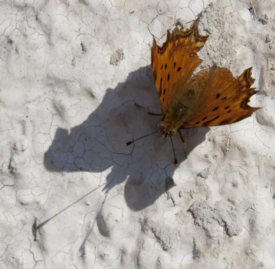
Nature
More places