Plizio Visual Lab
Gissar Range
Weather…
Water temperature…
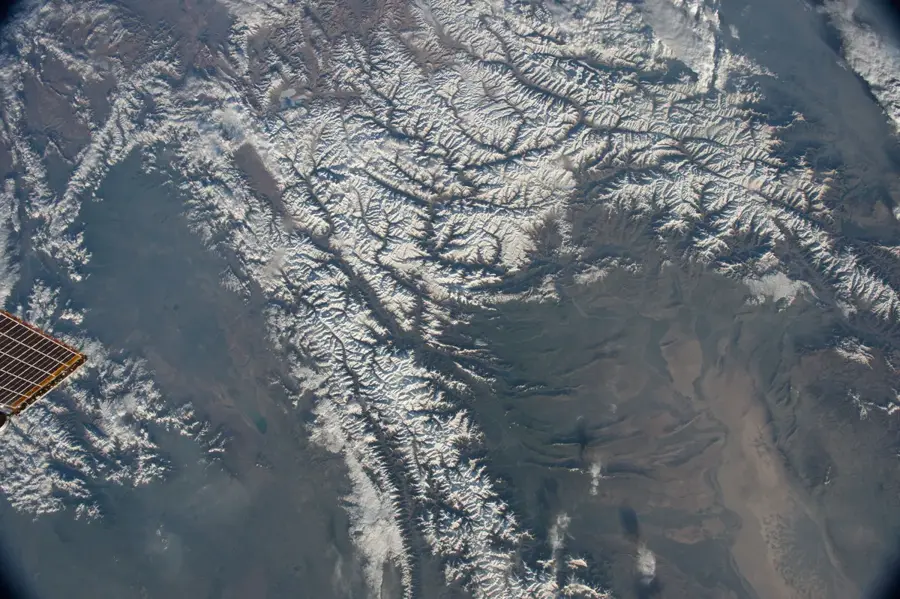
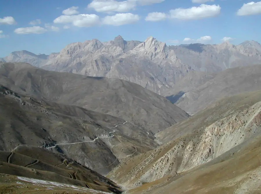
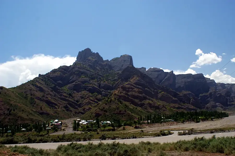
The Gissar Range, also known as the Hissar Range, is a prominent mountain chain in Central Asia, stretching approximately 200 kilometers across Tajikistan and Uzbekistan. It forms the western portion of the Pamir-Alay system and serves as a major drainage divide between the Zeravshan River basin to the north and the Amu Darya basin to the south. The highest peak in the range is Mount Khazret Sultan, reaching an elevation of 4,643 meters, situated directly on the border between the two nations. Geologically, the mountains are composed primarily of granite and metamorphic rocks, resulting in a rugged and craggy topography. The region is noted for its rich biodiversity, including numerous endemic plant species and rare animals such as the Siberian ibex. Historically, the valleys of the Gissar Range provided essential transit routes for trade and cultural interaction in Central Asia. Due to significant glaciation in the higher elevations, the range is a vital source of water for irrigation in the surrounding lowlands.
- Location: Tajikistan
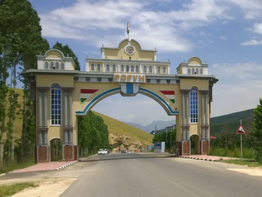
- Top sights: Anzob-Ziddi Viewpoint · Anzob Tunnel - South Entrance
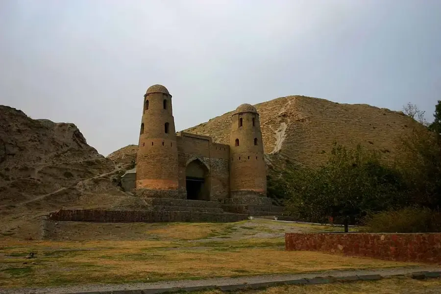
- Nearby: Safed Dara (Takob) (24 km)
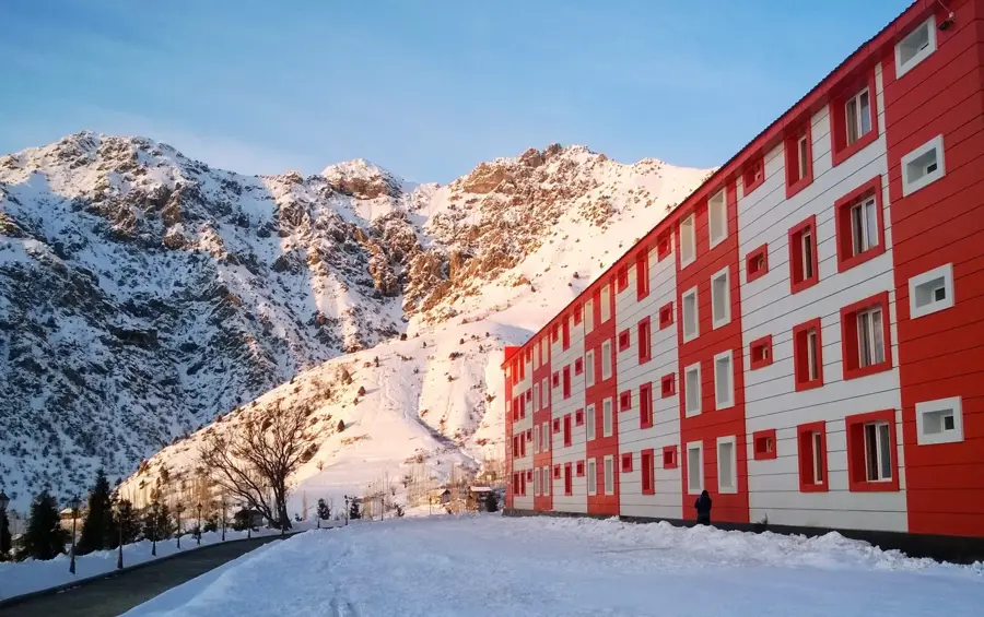
Best time to visit & climate
The most pleasant time to visit is Jun–Aug.
| Jan | Feb | Mar | Apr | May | Jun | Jul | Aug | Sep | Oct | Nov | Dec | |
|---|---|---|---|---|---|---|---|---|---|---|---|---|
| Avg °C | -10 | -9 | -3 | 3 | 9 | 13 | 16 | 15 | 11 | 4 | -3 | -8 |
| Rain mm | 36 | 52 | 57 | 56 | 36 | 14 | 4 | 2 | 2 | 15 | 36 | 37 |
📋 Practical info
Geography
Facts
- The highest peak is Khazret Sultan at 4,643 meters
- Stretches over a total length of approximately 200 kilometers
- Acts as a divide between the Zeravshan and Amu Darya basins
- Geological composition consists mainly of granite and schist
- Historically significant for trade routes in Central Asia
- Contains the Shirkent Reserve known for dinosaur tracks
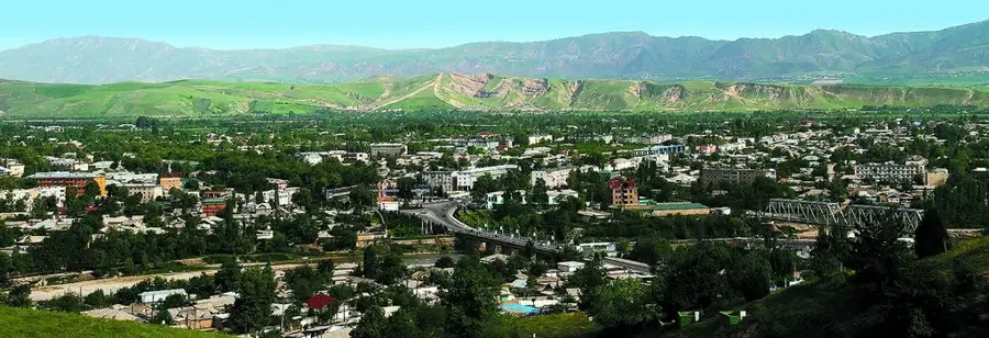
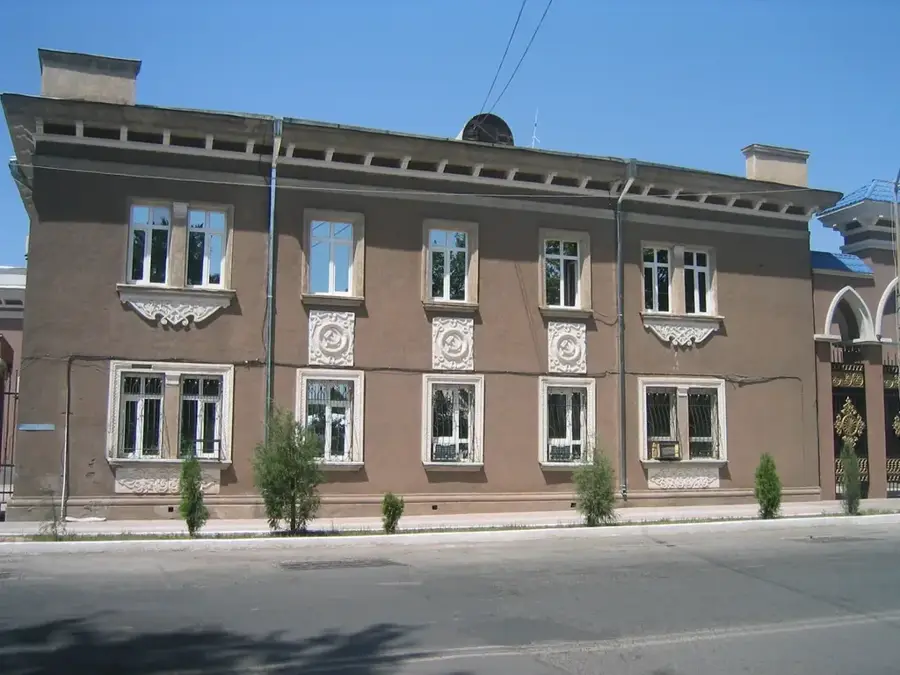
Explore nearby
Notable places around
Route planner — Car & Motorhome
Where do you start? We build the route here, with stops and country notes along the way.
© OpenStreetMap contributors · OpenRouteService
Sights in the town Gissar Range (2)
Sights nearby
Frequently asked questions
What is the landscape like in Hissar range?
Can one hike well there?
Are there ski resorts there?
Which months are best for a visit?
Is the travel complicated?
Gissar Range: where is it located?
Gissar Range: what is there to see?
Gissar Range: when is the best time to visit?
Gissar Range: why is it worth visiting?

Nearby cities

History & landmarks
More places