Plizio Visual Lab
Muránska planina National Park
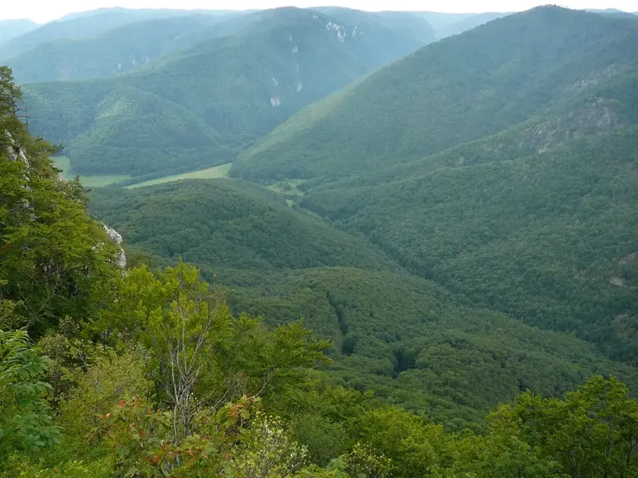
Muránska planina National Park, founded in 1997, secures a 203-square-kilometer karst plateau in the Slovak Ore Mountains. The terrain consists mainly of Mesozoic limestone and dolomite, which has led to the development of a unique geomorphological structure with steep slopes boasting elevation differences of up to 800 meters. The area is rich in speleology; to date, more than 1150 caves and deep shafts have been mapped, including the nearly 100-meter-deep Michalková Ice Cave. A floral relict of inestimable value is the Muráň daphne (Daphne arbuscula), an endemic plant that grows globally only on these limestone cliffs. Unlike many other karst regions, Muránska planina is heavily forested. The semi-feral Noriker horses, whose breeding station is located on the Veľká lúka plateau, are a defining cultural element of this protected area.
- Location: Slovakia
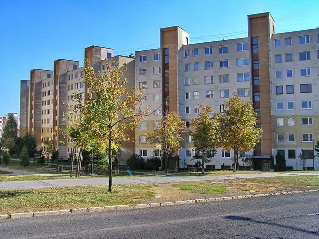
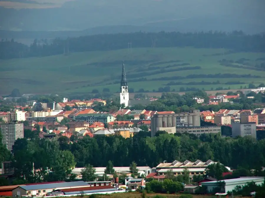
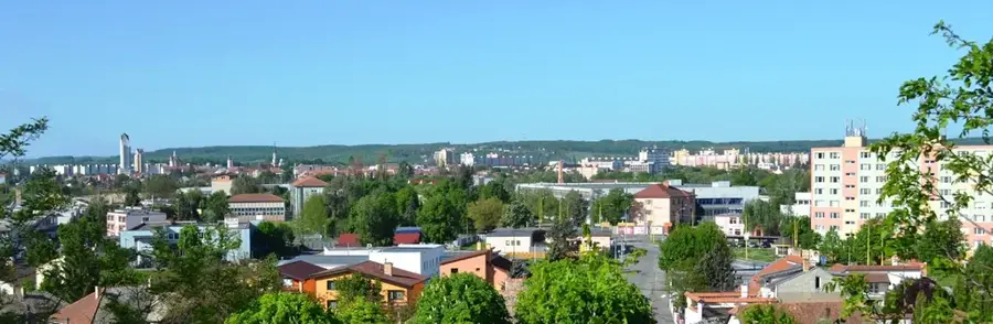
- Nearby: Revúca (11 km)
Best time to visit & climate
The most pleasant time to visit is Jun–Aug.
| Jan | Feb | Mar | Apr | May | Jun | Jul | Aug | Sep | Oct | Nov | Dec | |
|---|---|---|---|---|---|---|---|---|---|---|---|---|
| Avg °C | -7 | -6 | -2 | 5 | 10 | 13 | 15 | 15 | 10 | 5 | 0 | -5 |
| Rain mm | 66 | 64 | 69 | 69 | 119 | 127 | 139 | 102 | 89 | 78 | 71 | 65 |
📋 Practical info
Geography
Explore nearby
Notable places around
Route planner — Car & Motorhome
Where do you start? We build the route here, with stops and country notes along the way.
© OpenStreetMap contributors · OpenRouteService
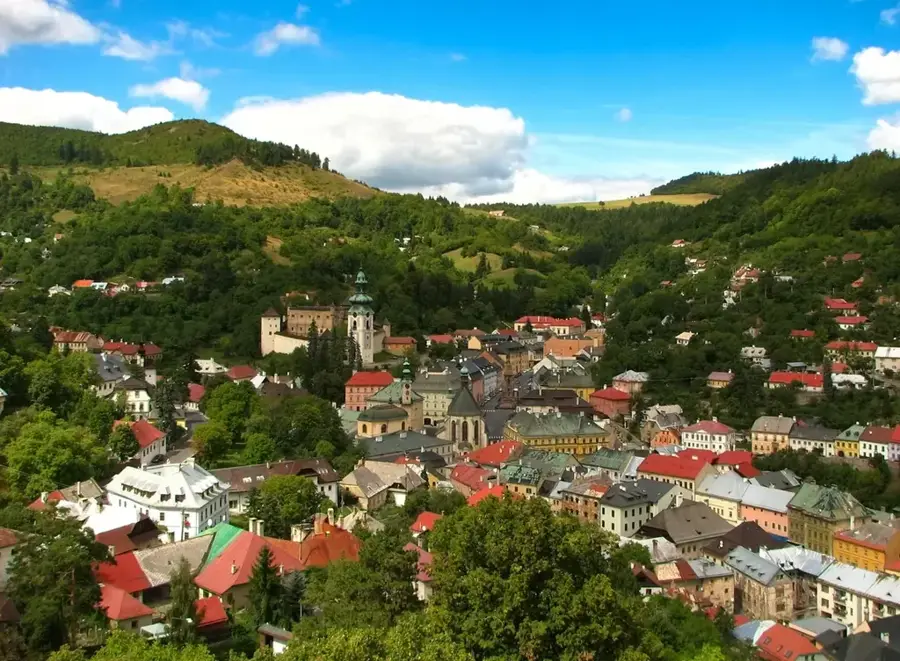
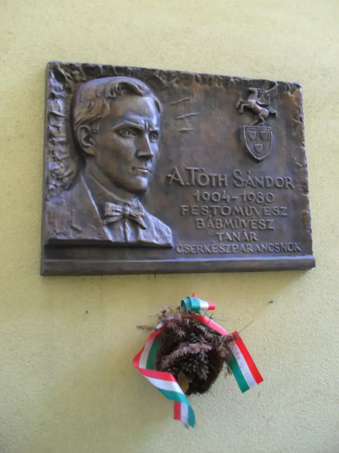
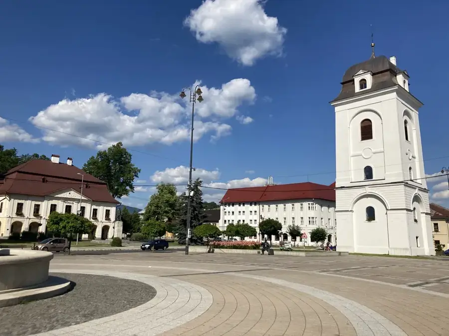
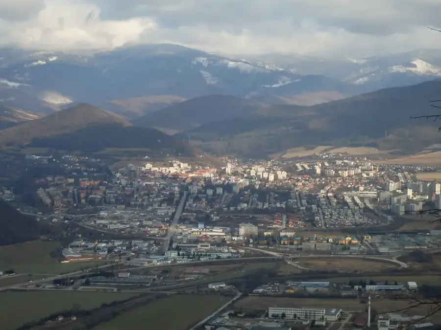
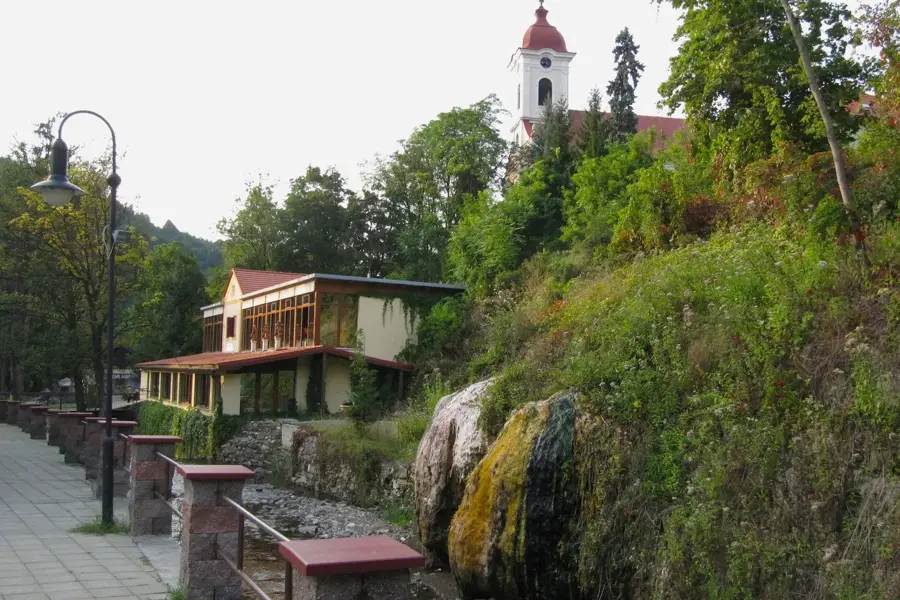
Sights in the town Muránska planina National Park (1)
Sights nearby
Frequently asked questions
What is Muránska planina known for?
Where can you feed ground squirrels?
Is the Muráň castle ruin accessible?
How is the infrastructure?
Are there wolves there?
Muránska planina National Park: where is it located?
Muránska planina National Park: when is the best time to visit?
Muránska planina National Park: why is it worth visiting?

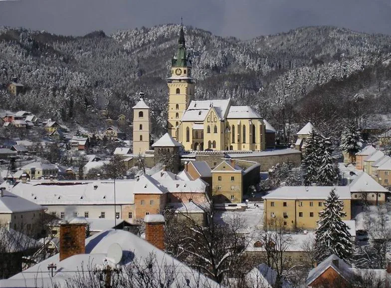
Nearby cities
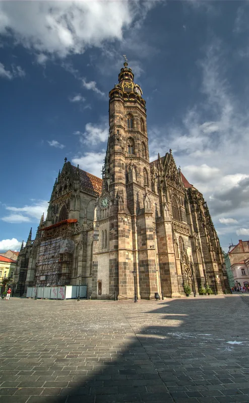


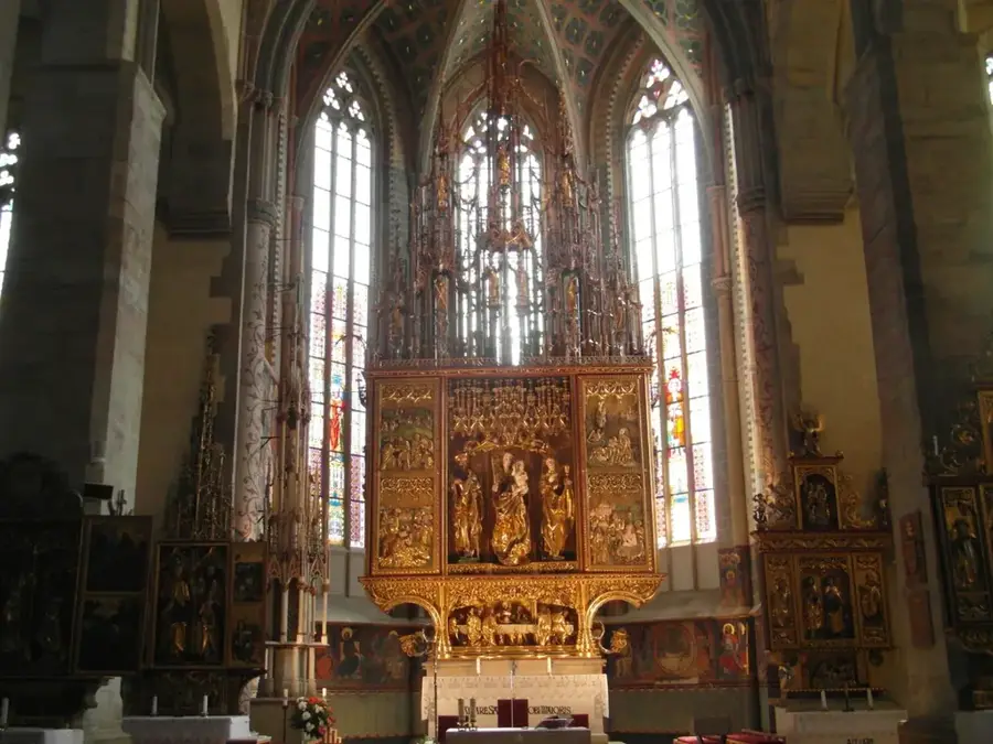
History & landmarks