Plizio Visual Lab
Kráľova hoľa
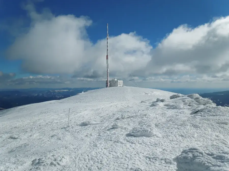
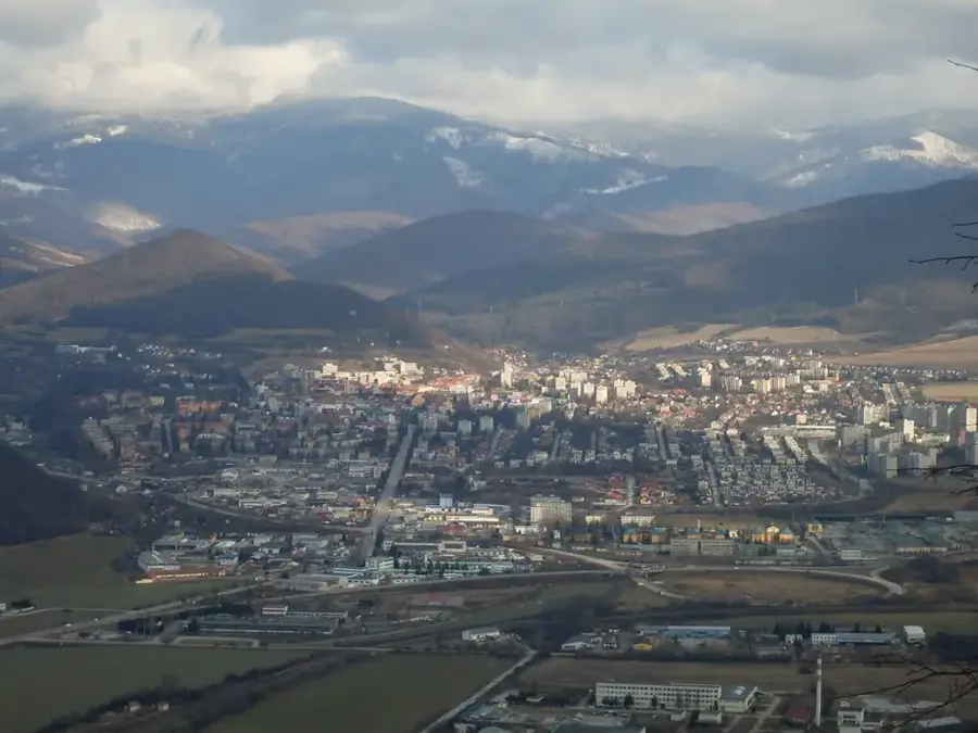
Kráľova hoľa, rising to 1946 meters, is the highest peak of the eastern section of the Low Tatras and stands as one of Slovakia's most culturally significant mountains. It serves as a vital hydrological crossroads, giving rise to four major rivers: the Hron, Hornád, Hnilec, and Čierny Váh. Its treeless summit provides a wide-open 360-degree panorama, encompassing the High Tatras, the Spiš region, and the Slovak Ore Mountains. Since 1960, the summit has been dominated by a large television and radio transmitter, which also houses a weather station and mountain rescue base. In Slovak folklore, Kráľova hoľa is a potent symbol of national identity and freedom, immortalized in numerous folk songs and legends. Despite the challenging weather conditions and frequent gale-force winds, it remains a popular destination for hikers in the summer and ski mountaineers in the winter.
- Location: Slovakia
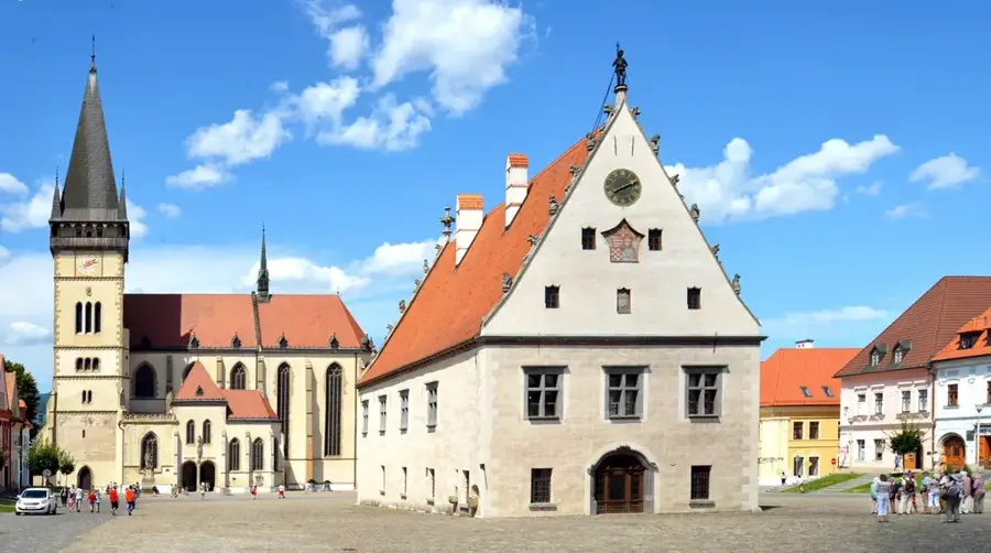
- Top sights: Stredná hoľa · Orlová · Kráľova skala
- Nearby: Slovak Paradise (20 km)
Best time to visit & climate
The most pleasant time to visit is Jun–Aug.
| Jan | Feb | Mar | Apr | May | Jun | Jul | Aug | Sep | Oct | Nov | Dec | |
|---|---|---|---|---|---|---|---|---|---|---|---|---|
| Avg °C | -7 | -6 | -2 | 5 | 10 | 13 | 15 | 15 | 10 | 5 | 0 | -5 |
| Rain mm | 66 | 64 | 69 | 69 | 119 | 127 | 139 | 102 | 89 | 78 | 71 | 65 |
📋 Practical info
Geography
Facts
- Kráľova hoľa stands at an elevation of 1946 meters.
- It is the source of four significant rivers: Hron, Hornád, Hnilec, and Váh.
- The television transmitter on the summit was established in 1960.
- The peak is located within the Low Tatras National Park (NAPANT).
- It experiences some of the highest average wind speeds in Slovakia.
- A mountain rescue service station is permanently located on the summit.
Explore nearby
Notable places around
Route planner — Car & Motorhome
Where do you start? We build the route here, with stops and country notes along the way.
© OpenStreetMap contributors · OpenRouteService
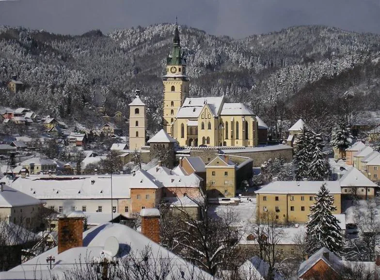
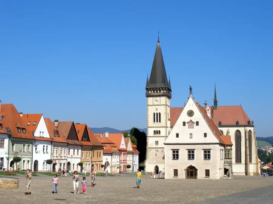
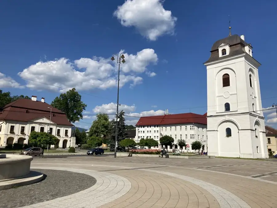
Sights in the town Kráľova hoľa (3)
Sights nearby
Frequently asked questions
Why is Kráľova hoľa so famous?
Which rivers originate here?
Can you cycle to the summit?
What stands on the summit?
How is the ascent on foot?
Kráľova hoľa: where is it located?
Kráľova hoľa: what is there to see?
Kráľova hoľa: when is the best time to visit?
Kráľova hoľa: why is it worth visiting?

Nearby cities


History & landmarks