Plizio Visual Lab
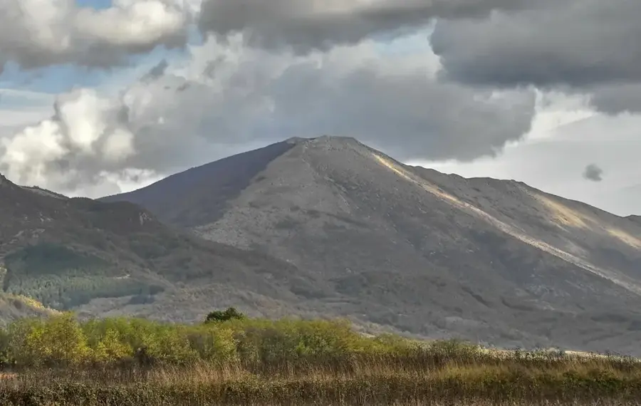
Selicevica Mountain
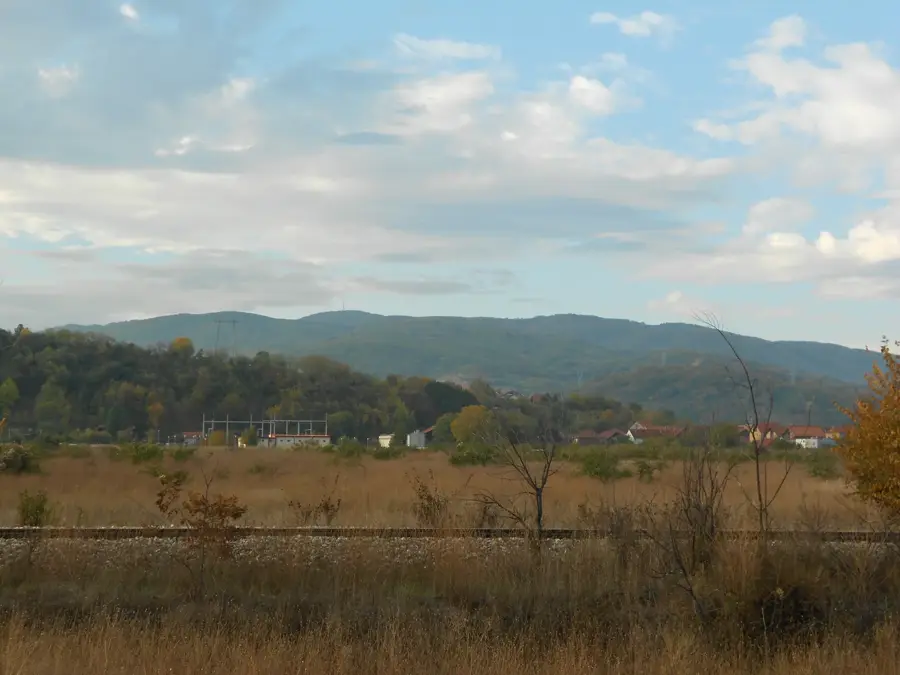
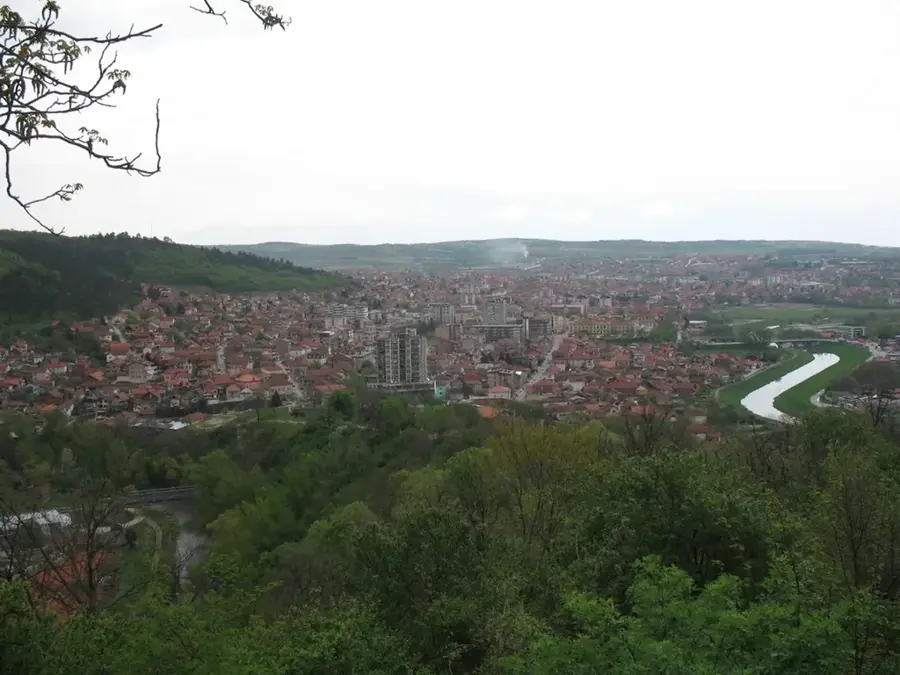
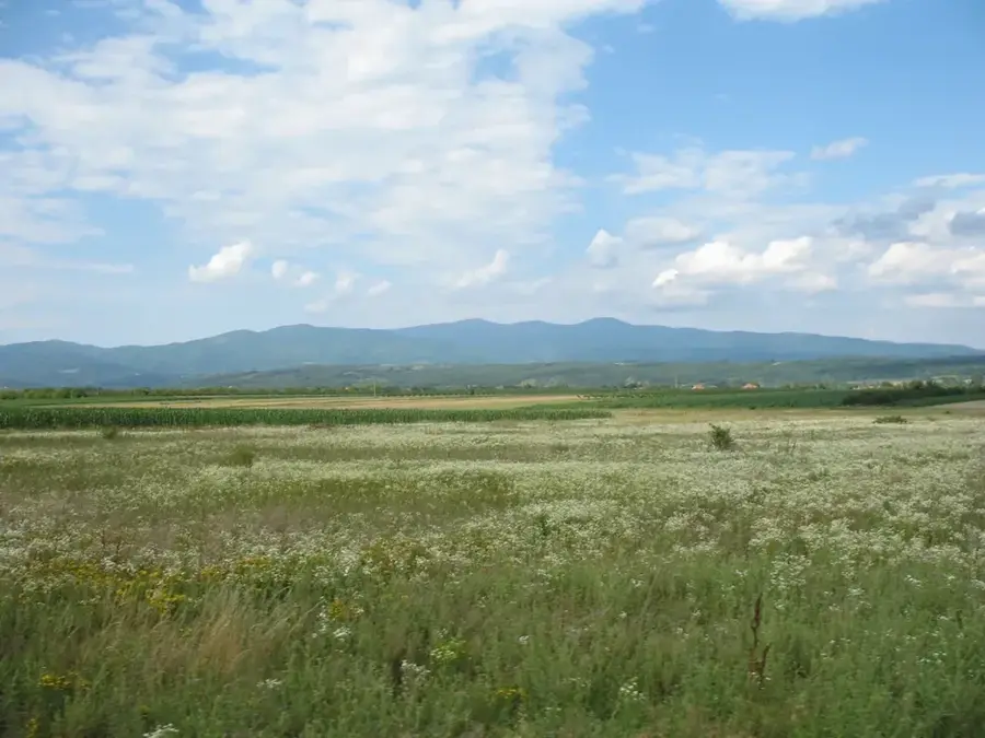
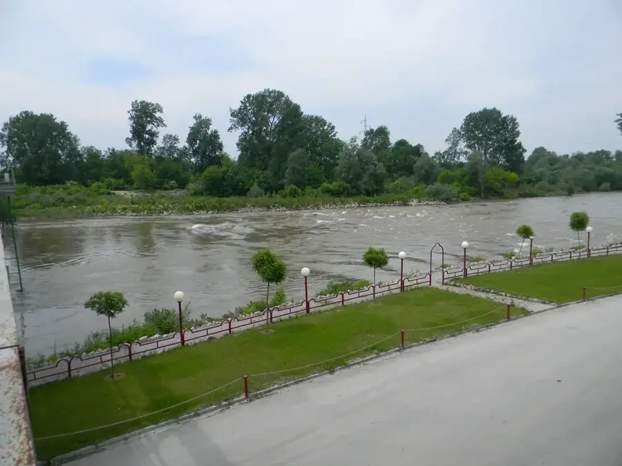
Selicevica Mountain rises immediately south of the city of Niš, forming a natural barrier between the Nišava plain and the Morava valley. Its highest peak, Cvetkova Jagoda, reaches an elevation of 902 meters. The mountain is an important recreational area for the residents of Niš, accessible via a dense network of hiking and forestry trails. Geologically, Selicevica consists predominantly of metamorphic rocks, resulting in gentler slopes compared to the rugged limestone cliffs of the nearby Suva Planina. Historically, the mountain was often the site of military engagements, as it controls the southern access routes to the strategically important city of Niš. Today, the summit area houses significant telecommunications facilities and transmission towers. The dense forest cover provides a pleasant microclimate that attracts many visitors seeking cool and fresh air during the hot summer months.
- Location: Serbia
- Nearby: Niš (10 km)
Best time to visit & climate
The most pleasant time to visit is Jun–Aug.
| Jan | Feb | Mar | Apr | May | Jun | Jul | Aug | Sep | Oct | Nov | Dec | |
|---|---|---|---|---|---|---|---|---|---|---|---|---|
| Avg °C | -1 | 1 | 5 | 10 | 15 | 20 | 23 | 23 | 18 | 12 | 6 | 0 |
| Rain mm | 49 | 46 | 56 | 59 | 75 | 70 | 55 | 48 | 48 | 60 | 55 | 55 |
📋 Practical info
Geography
Facts
- Highest point: Cvetkova Jagoda (902 meters)
- Location: Only 10 km south of Niš city center
- Geology: Predominantly schist and gneiss
- Important site for radio and television transmitters
- Popular destination for mountain bikers from the region
- Rich in edible mushrooms and forest berries
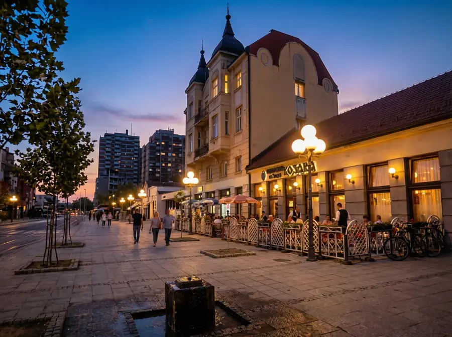
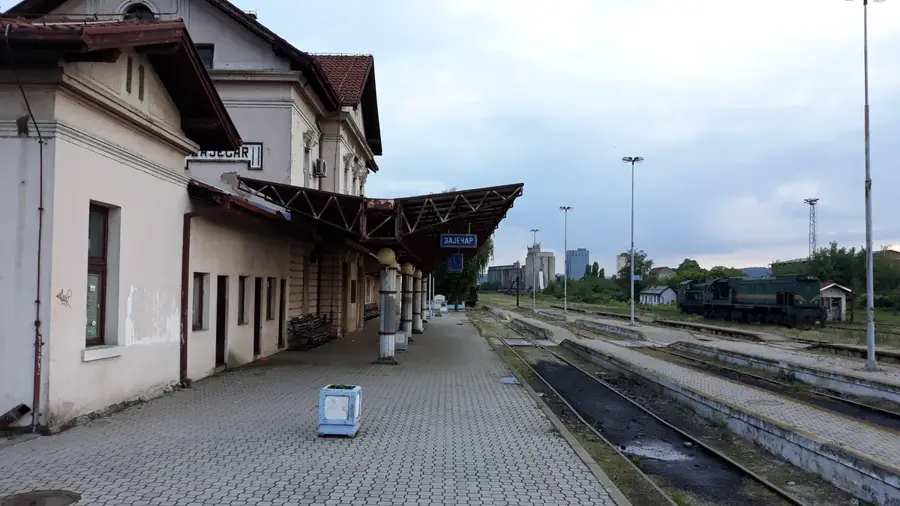
Explore nearby
Notable places around
Route planner — Car & Motorhome
Where do you start? We build the route here, with stops and country notes along the way.
© OpenStreetMap contributors · OpenRouteService
Sights nearby
Frequently asked questions
Where are the Seličevica mountains located?
What is the highest peak?
What is Seličevica known for?
Are there any historical sites on the mountain?
What flora can be found here?
Selicevica Mountain: where is it located?
Selicevica Mountain: when is the best time to visit?
Selicevica Mountain: why is it worth visiting?

Nearby cities
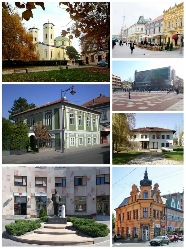
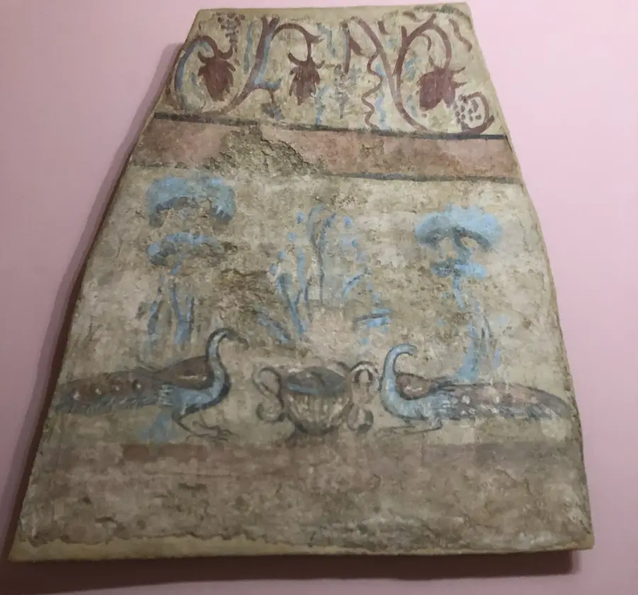


History & landmarks
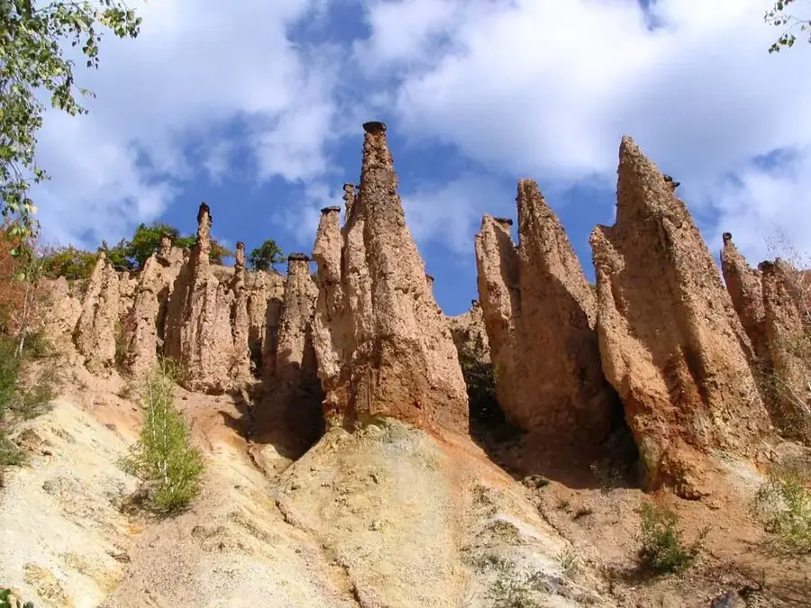
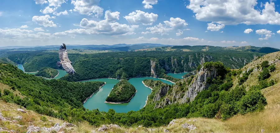
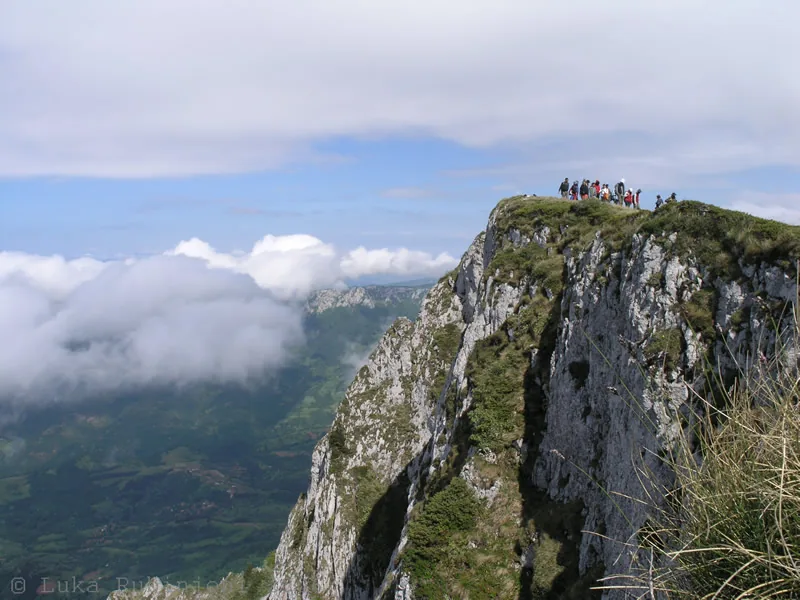
Nature
More places