Plizio Visual Lab
Vince Peak
Weather…
Water temperature…
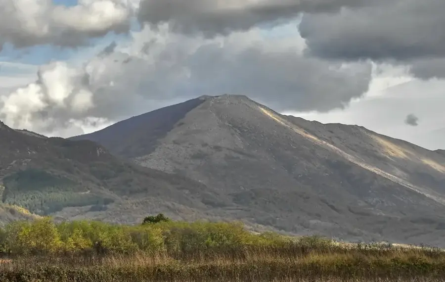
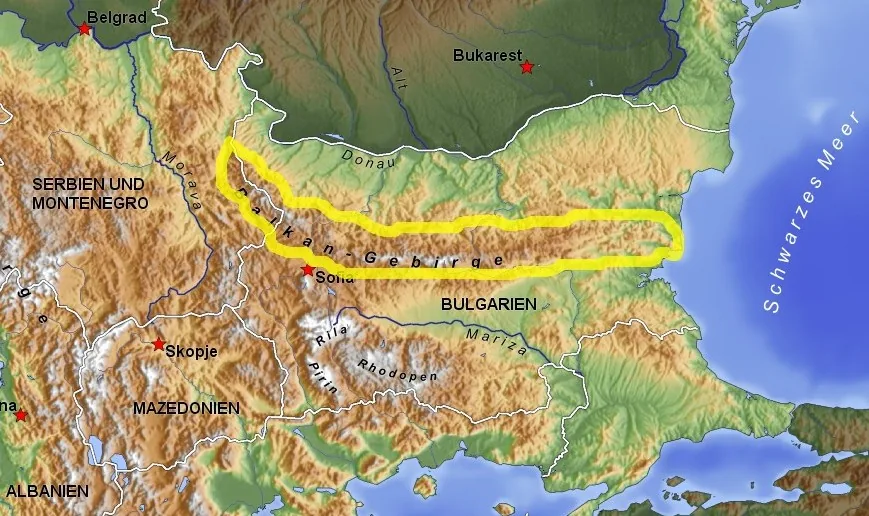
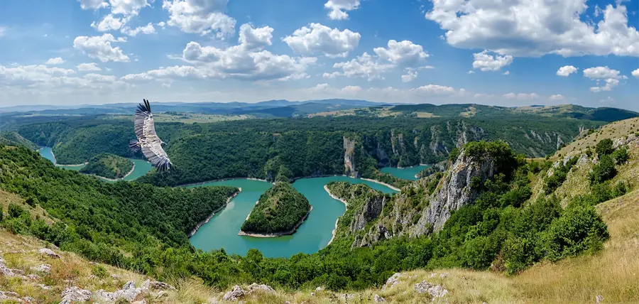
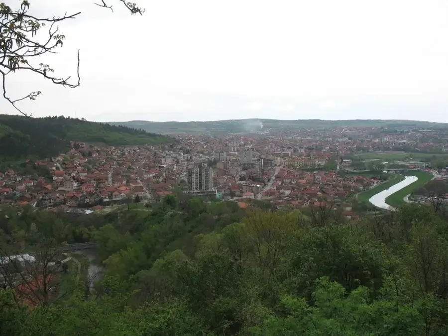
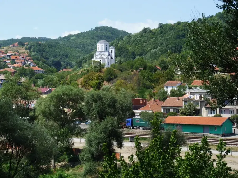
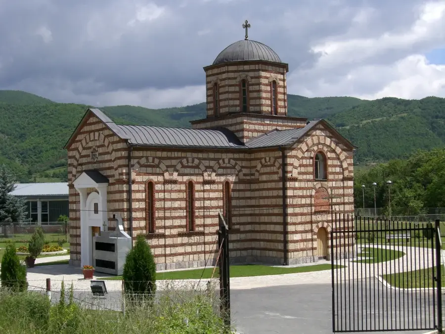
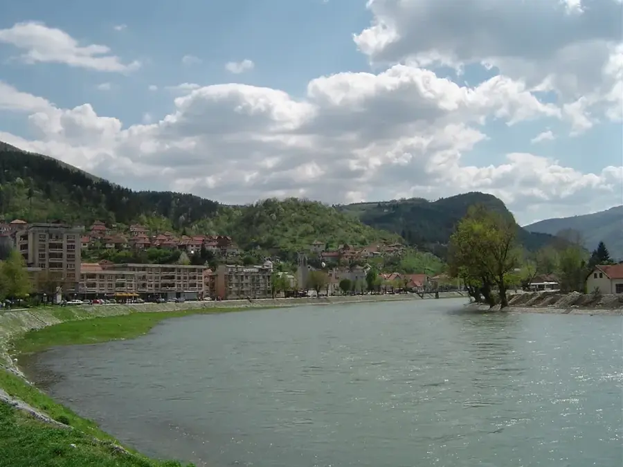
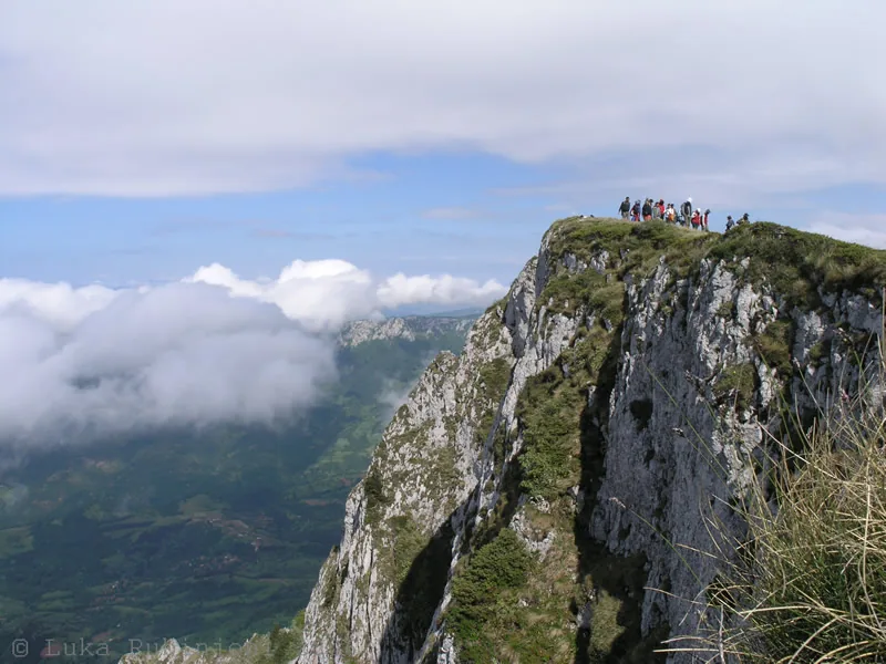
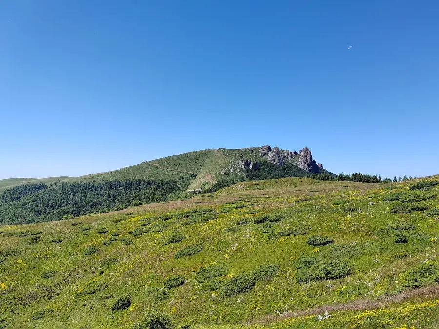
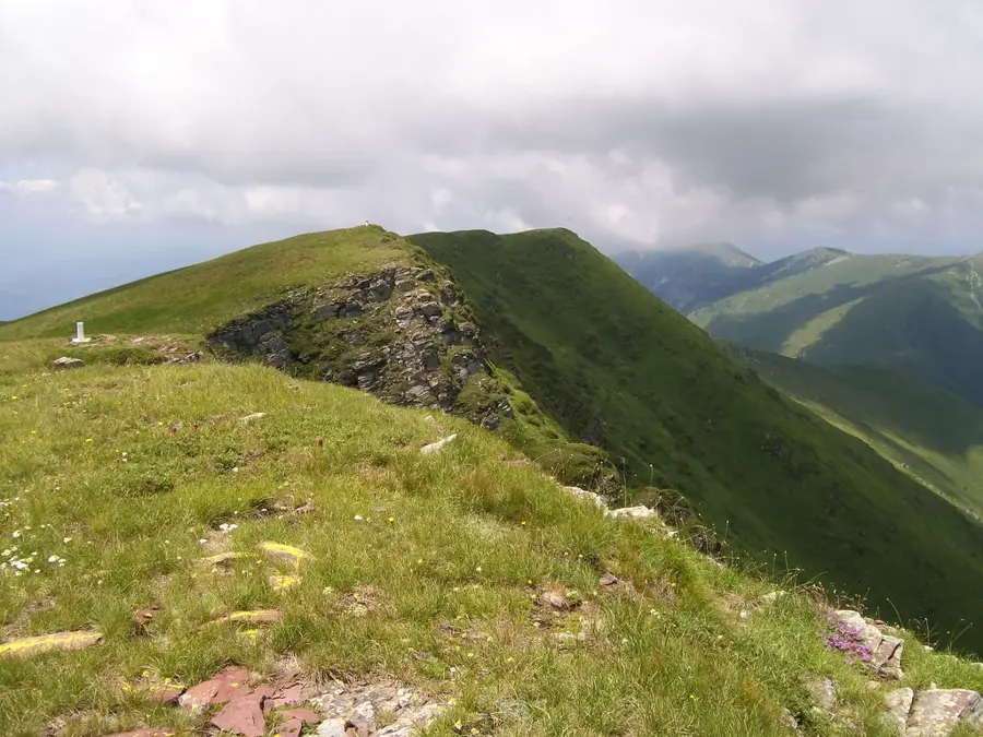
Vince Peak is located in the southeastern part of Serbia, near the town of Babušnica and the village of Vince. This region belongs to the foothills of the Balkan mountain system and is characterized by a rugged and fascinating mid-mountain landscape. The surroundings are dominated by dense deciduous forests, primarily beech and oak, as well as wide mountain meadows that were traditionally used for sheep farming. Geologically, sedimentary rocks prevail, having formed deep gorges and prominent ridge structures through erosion. Historically, the area was an important border zone where various cultural influences merged. Hikers value the peak for its relative seclusion and pristine nature, far from mass tourism. From the top, there is an impressive view over the Lužnica valley and the surrounding mountain ranges such as Suva Planina and the Talambas massif.
- Location: Serbia
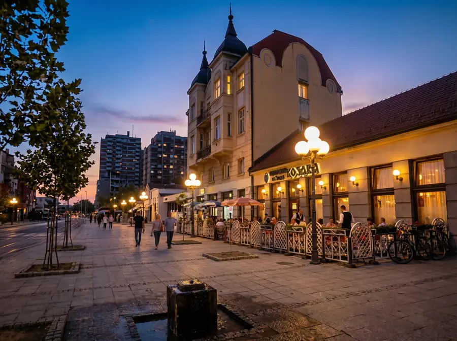
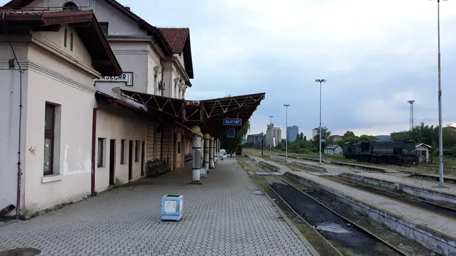
- Nearby: Pirot (19 km)
Best time to visit & climate
The most pleasant time to visit is Jun–Aug.
| Jan | Feb | Mar | Apr | May | Jun | Jul | Aug | Sep | Oct | Nov | Dec | |
|---|---|---|---|---|---|---|---|---|---|---|---|---|
| Avg °C | -3 | -1 | 3 | 8 | 13 | 18 | 20 | 20 | 15 | 10 | 4 | -1 |
| Rain mm | 48 | 46 | 55 | 56 | 75 | 73 | 58 | 50 | 50 | 60 | 50 | 52 |
📋 Practical info
Geography
Facts
- Located in the Pirot District of southeastern Serbia
- Part of the Lužnica highland region
- Typical karst and sedimentary rock formations
- Elevation of the area ranges between 800 and 1200 meters
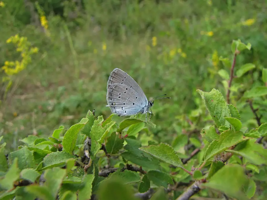
- Important habitat for roe deer and wild boar
- Traditional center of cheese production in nearby villages
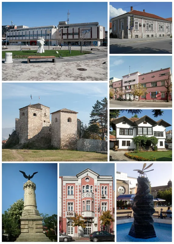
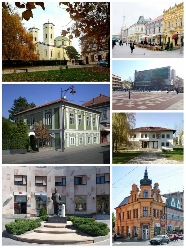
Explore nearby
Notable places around
Route planner — Car & Motorhome
Where do you start? We build the route here, with stops and country notes along the way.
© OpenStreetMap contributors · OpenRouteService
Sights nearby
Frequently asked questions
What is Vince?
How high is the peak?
What can you do in this region?
What culture is present there?
Is the path to the summit well marked?
Vince Peak: where is it located?
Vince Peak: when is the best time to visit?
Vince Peak: why is it worth visiting?

Nearby cities
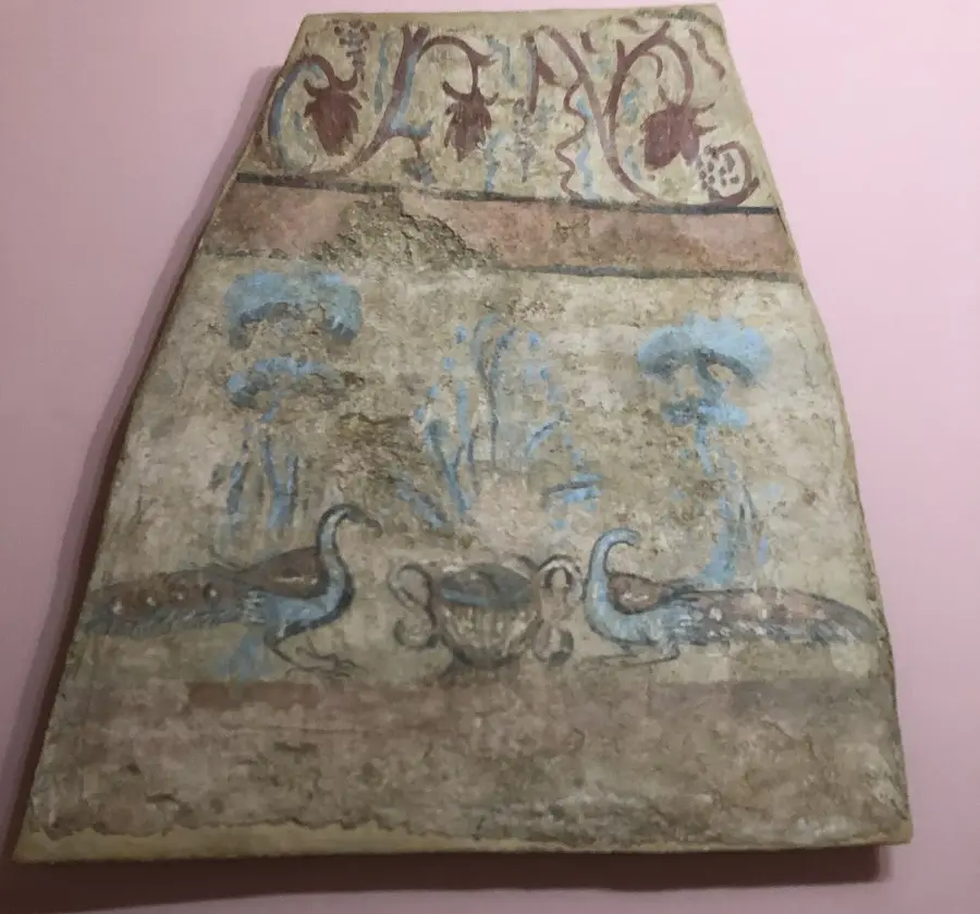


History & landmarks

Nature

More places