Plizio Visual Lab
Suva Planina
Weather…
Water temperature…
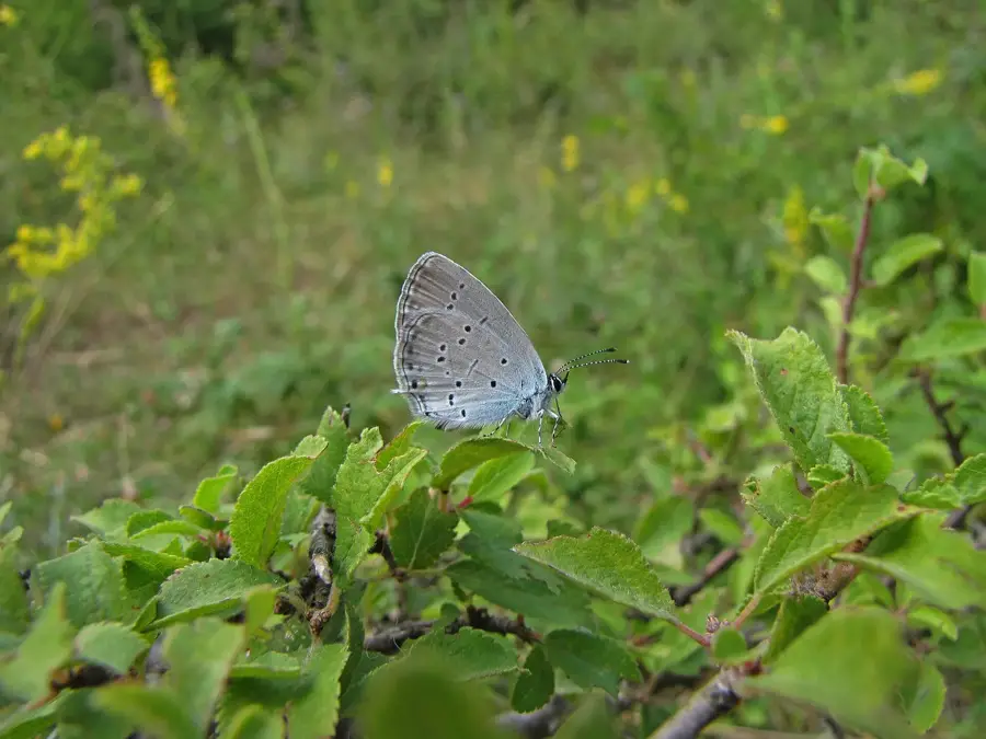
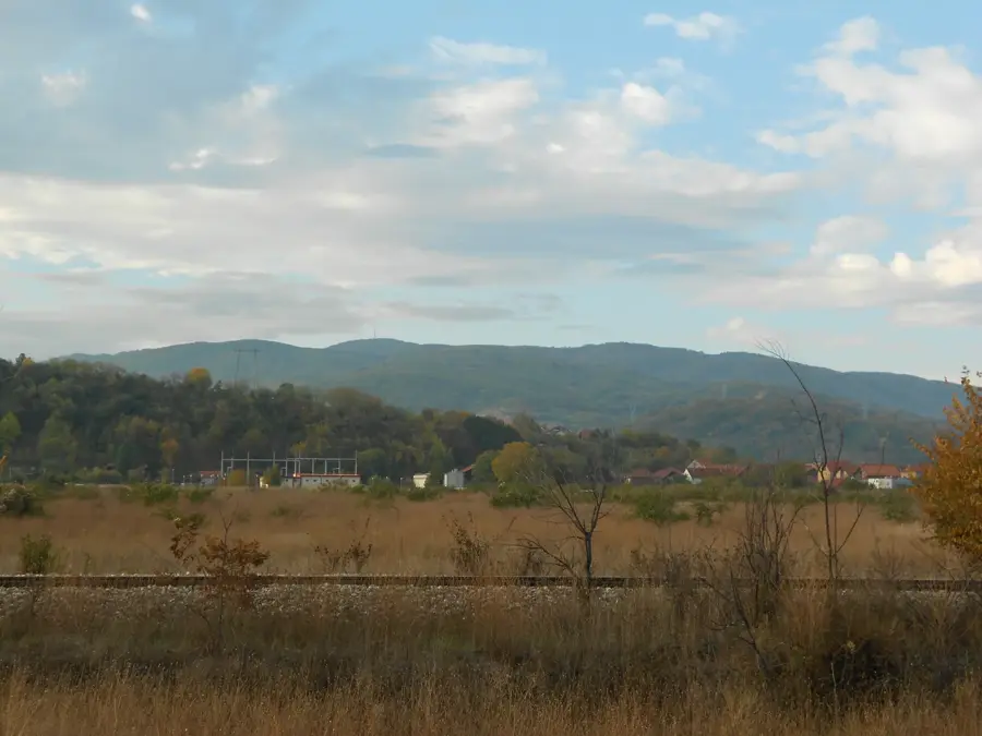
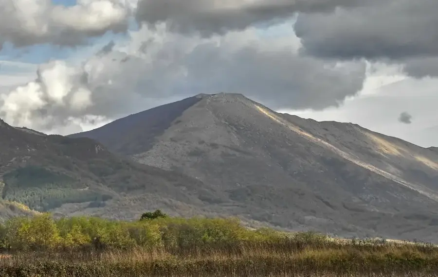
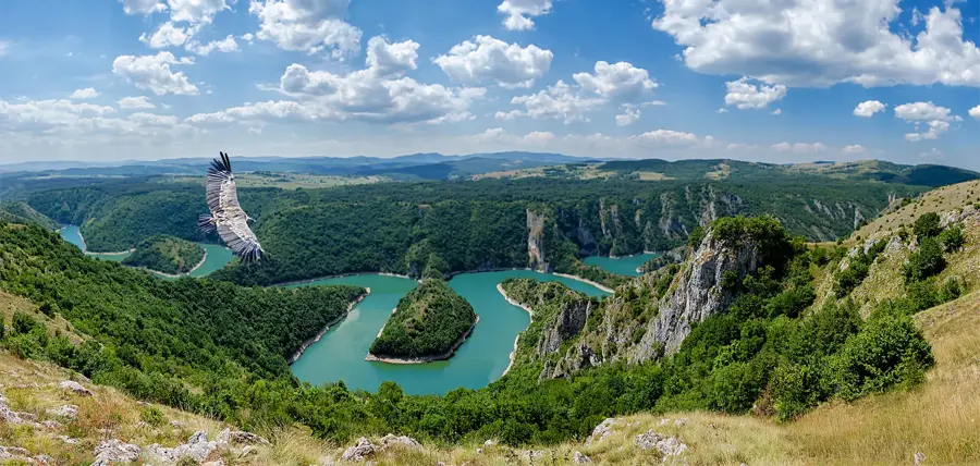
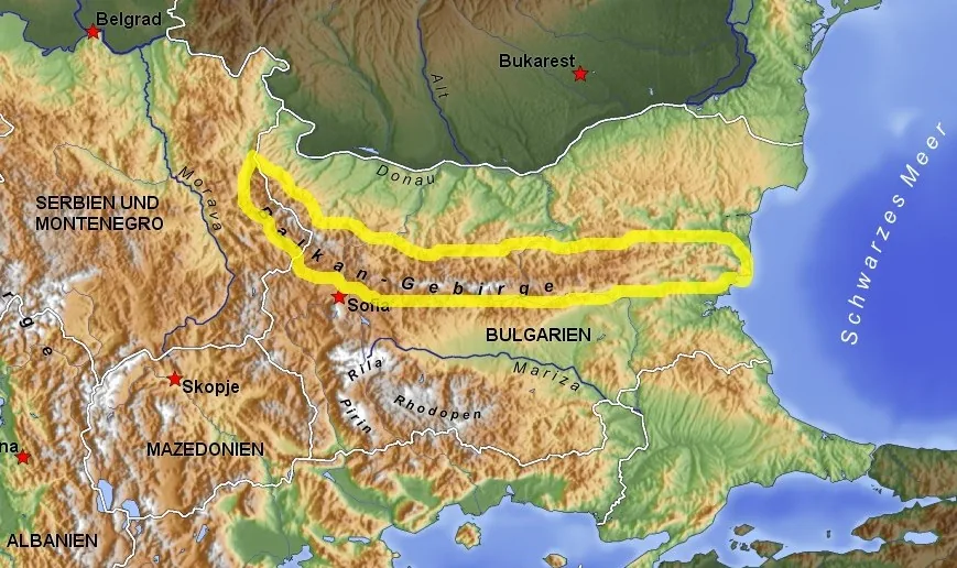
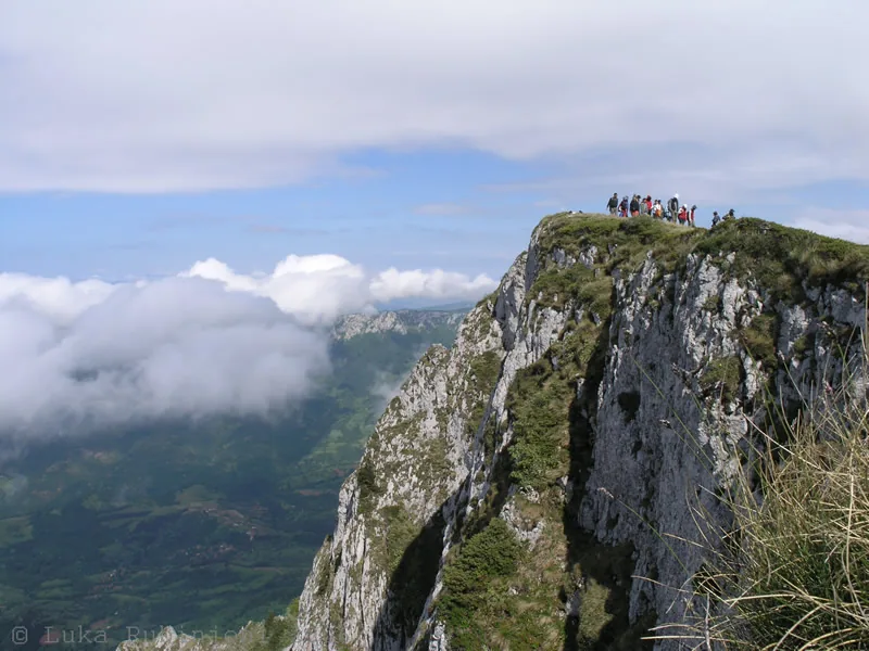
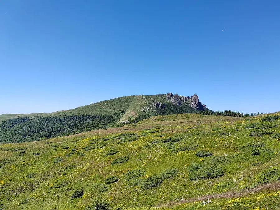
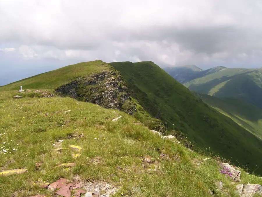
Suva Planina, which literally translates to 'Dry Mountain,' is a majestic limestone massif located in southeastern Serbia, near the city of Niš. The mountain range extends for about 45 kilometers and is characterized by a unique horseshoe shape that is geomorphologically significant in the Balkans. Its highest peak, Trem, stands at 1,810 meters and provides a commanding view over the Nišava river valley and the surrounding highlands. The name derives from the extreme karst topography, which causes surface water to disappear rapidly into underground fissures, making springs very rare at high elevations. Ecologically, the area is a biodiversity hotspot, serving as a refuge for Tertiary relics and endemic plant species such as Ramonda nathaliae. The mountain was famously studied in the 19th century by the geographer Jovan Cvijić, who referred to it as the 'Alps of the Balkans' due to its steep, jagged cliffs. It is currently protected as a Special Nature Reserve and is a popular destination for mountaineering and paragliding.
- Location: Serbia
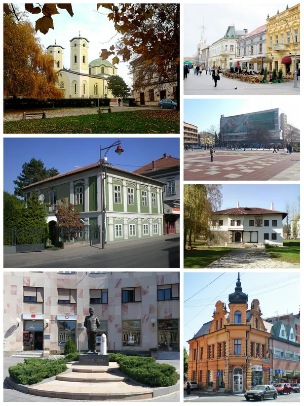
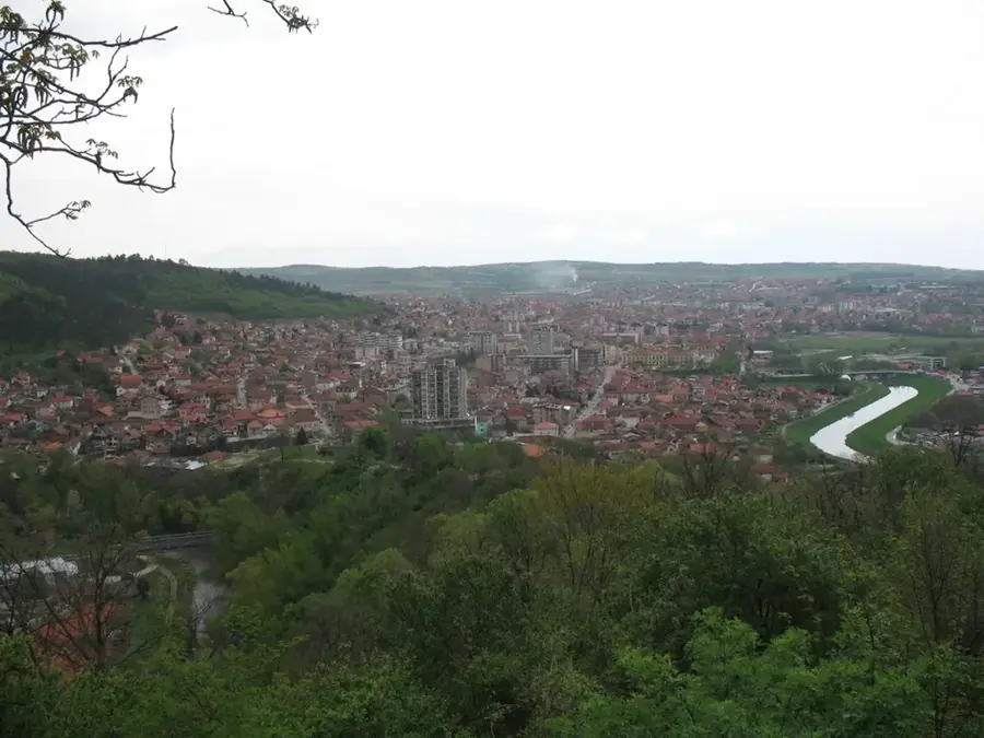
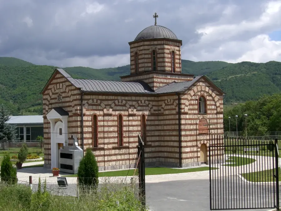
- Nearby: Niška Banja (13 km)
Best time to visit & climate
The most pleasant time to visit is Jun–Aug.
| Jan | Feb | Mar | Apr | May | Jun | Jul | Aug | Sep | Oct | Nov | Dec | |
|---|---|---|---|---|---|---|---|---|---|---|---|---|
| Avg °C | -2 | 0 | 5 | 10 | 15 | 20 | 22 | 23 | 17 | 11 | 6 | 0 |
| Rain mm | 51 | 50 | 58 | 60 | 79 | 74 | 59 | 54 | 50 | 60 | 54 | 56 |
📋 Practical info
Geography
Facts
- The highest peak, Trem, reaches 1,810 meters above sea level.
- The range stretches for a total distance of 45 kilometers.
- Surface water is extremely scarce due to karst porosity.
- Famed geographer Jovan Cvijić called it the 'Alps of the Balkans'.
- It is one of the few habitats of the rare Ramonda nathaliae flower.
- The mountain was designated a Special Nature Reserve in 2015.
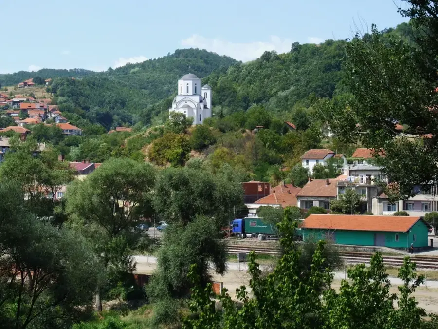
Explore nearby
Notable places around
Route planner — Car & Motorhome
Where do you start? We build the route here, with stops and country notes along the way.
© OpenStreetMap contributors · OpenRouteService
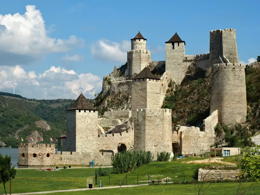
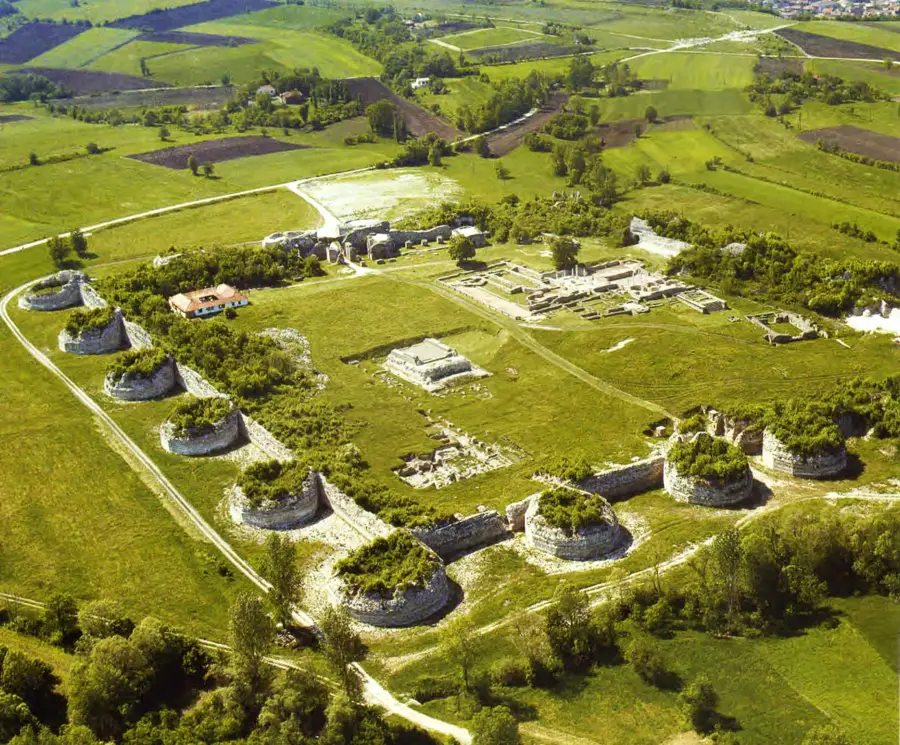
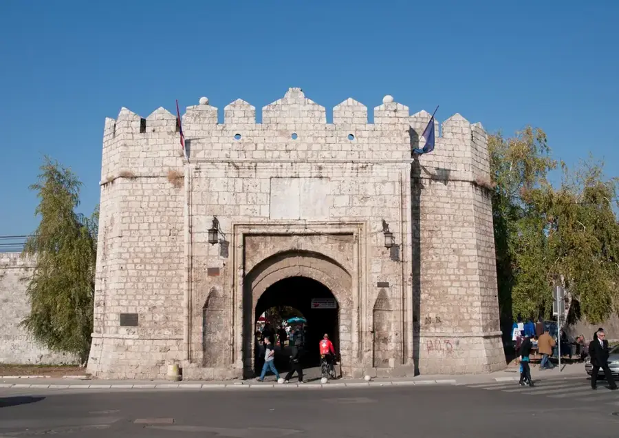
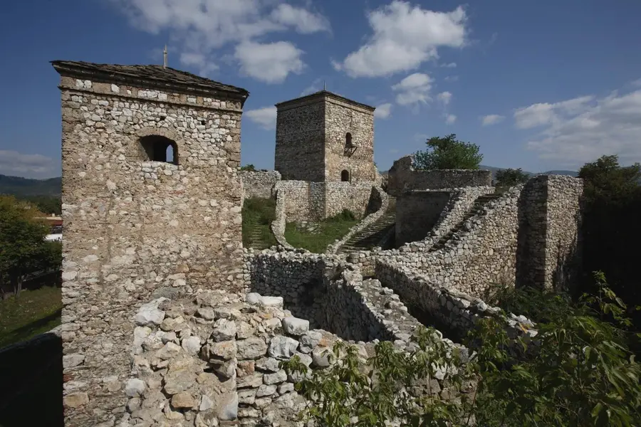
Sights nearby
Frequently asked questions
Why is the mountain called 'Suva' (dry)?
What is the highest peak called?
Is the hike to Trem difficult?
What is the Trem challenge?
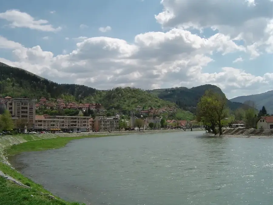
Which city is the closest?
Suva Planina: where is it located?
Suva Planina: when is the best time to visit?
Suva Planina: why is it worth visiting?

Nearby cities

History & landmarks
Nature
More places