Plizio Visual Lab
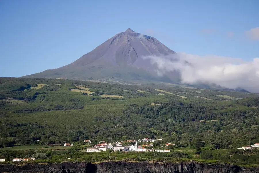
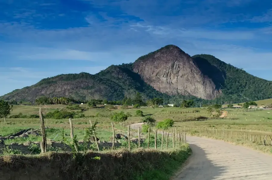
Pico de Ana Chaves
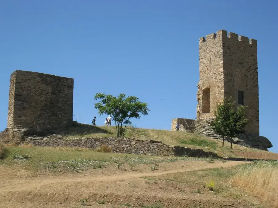
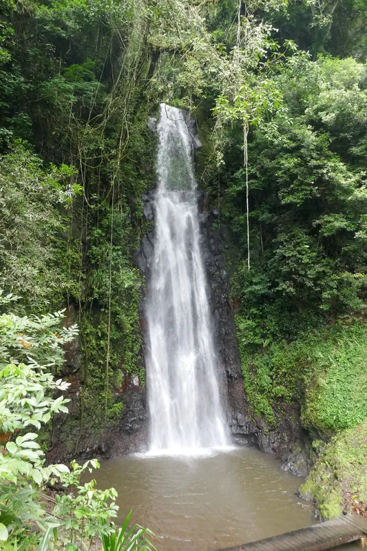
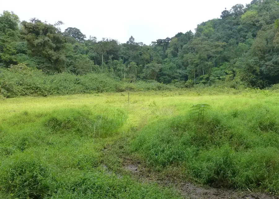
Pico de Ana Chaves is a prominent peak in the central highlands of São Tomé, in the Mé-Zóchi district. Although not among the highest mountains on the island, its presence in the landscape is significant. The mountain is named after a historical or legendary figure, which gives it cultural importance. Surrounded by deeply incised valleys and lush vegetation, it is a classic example of the island's relief. Its slopes were historically important for the cultivation of coffee and cocoa; today, you can find a mixture of abandoned plantations (roças) and regrowing secondary forest. The mountain plays an important role in the local water cycle, as numerous streams and small rivers originate on its flanks, which are crucial for agriculture in the valleys.
- Location: São Tomé & Príncipe
- Top sights: Bobo Forro · Blublu, São Tomé and Príncipe · Água Creola
- Nearby: Pantufo (Suburb) (4 km)
Best time to visit & climate
The most pleasant time to visit is Jul–Sep.
| Jan | Feb | Mar | Apr | May | Jun | Jul | Aug | Sep | Oct | Nov | Dec | |
|---|---|---|---|---|---|---|---|---|---|---|---|---|
| Avg °C | 27 | 28 | 28 | 28 | 27 | 26 | 25 | 25 | 26 | 26 | 27 | 27 |
| Rain mm | 125 | 115 | 162 | 176 | 129 | 44 | 23 | 19 | 35 | 100 | 142 | 130 |
📋 Practical info
Geography
Facts
- Named after Ana Chaves, a figure from local folklore.
- Located near important historical 'Roças' (plantations).
- The slopes are a mixture of agricultural use and forest.
- A symbol of the cultural landscape of coffee cultivation.
- The ascent offers panoramic views of the Mé-Zóchi valley.
- The rock is porous basalt, which stores water well.
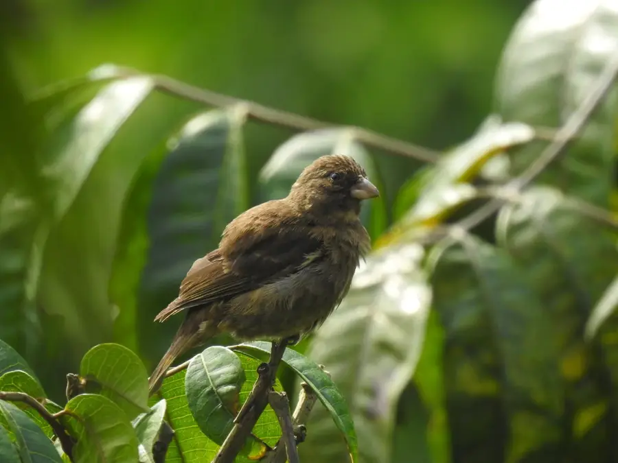
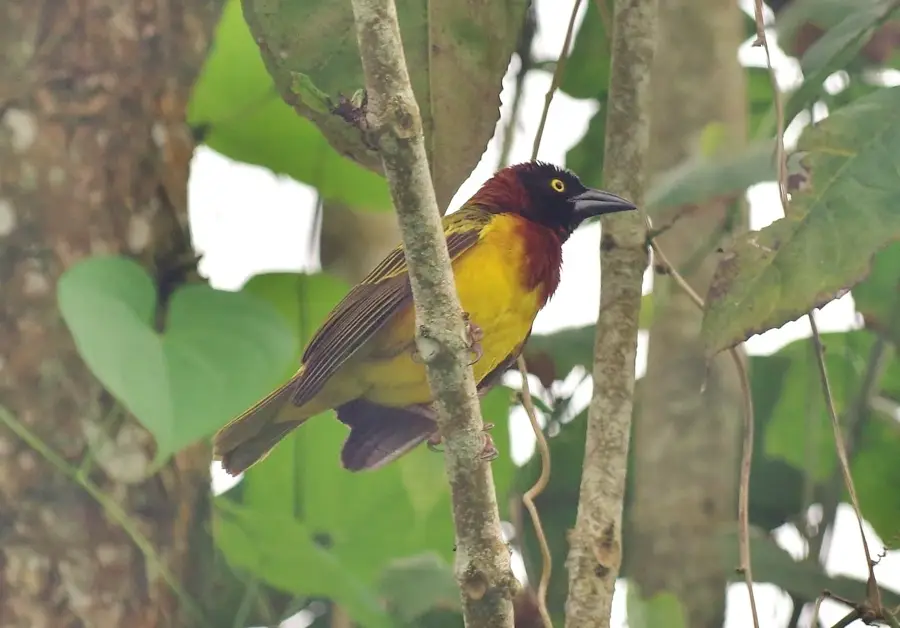
- Important habitat for endemic bird species of the central highlands.
Explore nearby
Notable places around
Route planner — Car & Motorhome
Where do you start? We build the route here, with stops and country notes along the way.
© OpenStreetMap contributors · OpenRouteService
Sights in the town Pico de Ana Chaves (3)
Sights nearby
Frequently asked questions
How high is Pico de Ana Chaves?
Is there a clear trail?
Is a guide needed for the hike?
What should you have in your backpack?
What is the air quality like?
Pico de Ana Chaves: where is it located?
Pico de Ana Chaves: what is there to see?
Pico de Ana Chaves: when is the best time to visit?
Pico de Ana Chaves: why is it worth visiting?

Nearby cities


Nature
More places