Plizio Visual Lab
Mont Idoukal-n-Taghès
ℹ️Practical info — Mont Idoukal-n-Taghès
▾
🌤 Weather — 5 days
📍 Nearby
Sights nearby
Water temperature…
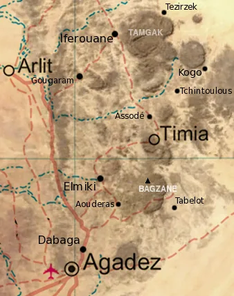
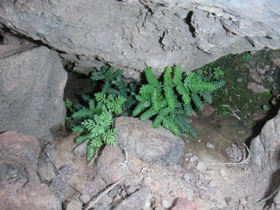
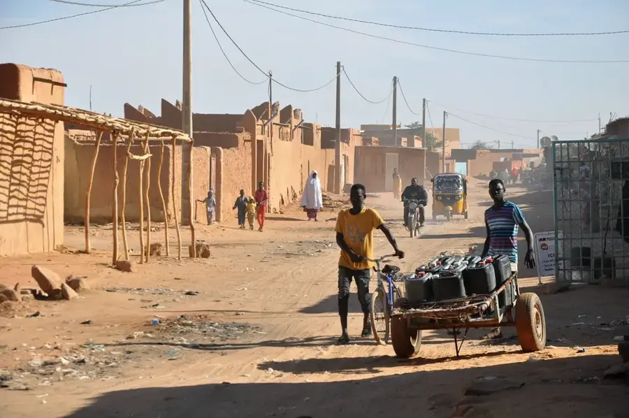
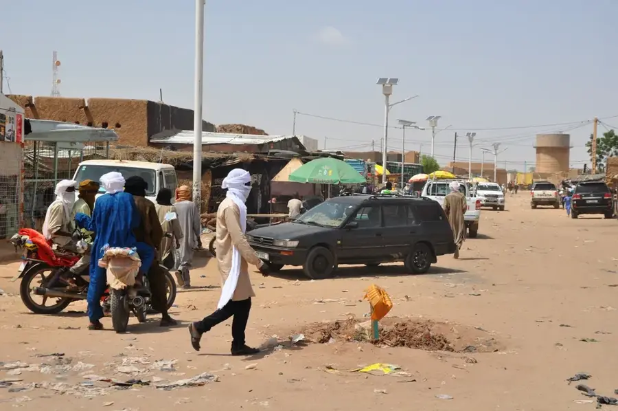
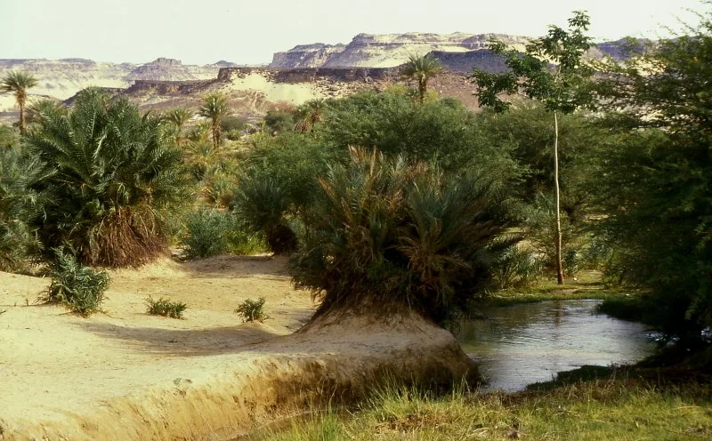
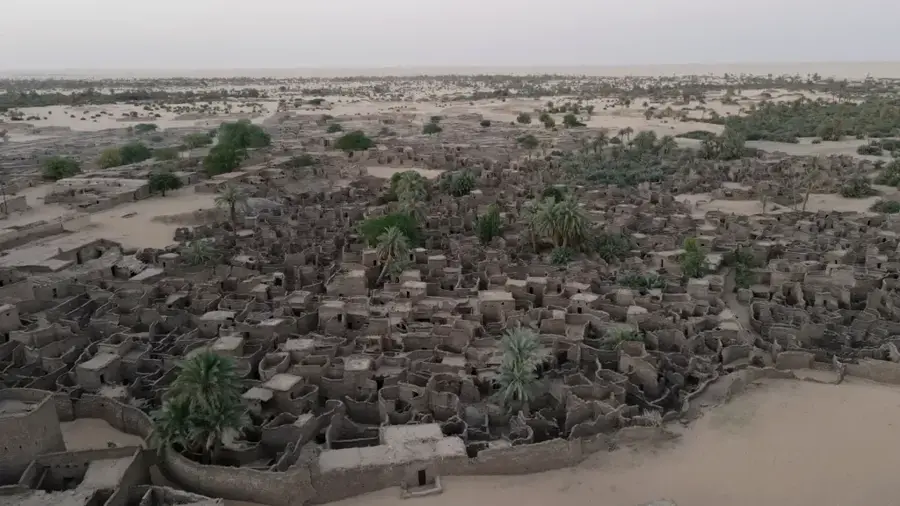
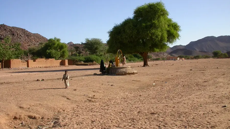
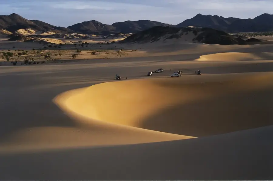
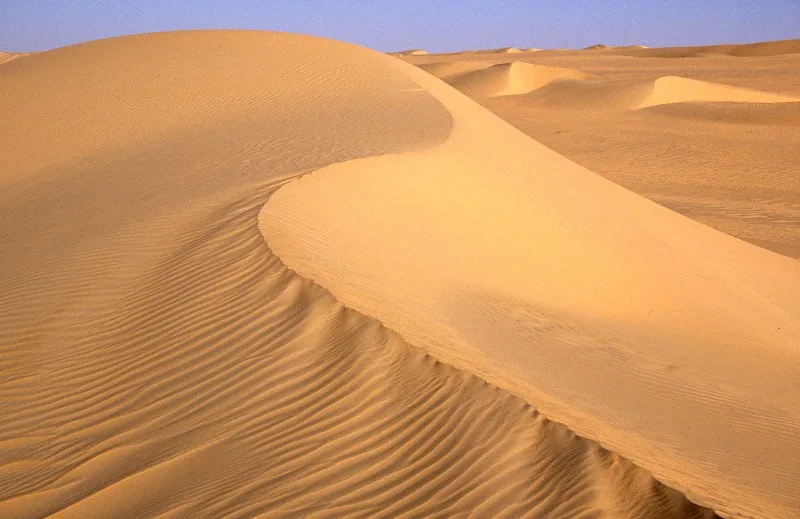
Mont Idoukal-n-Taghès rises majestically from the Bagzane Plateau, reaching an altitude of over 2,000 meters. For mountaineers and hikers, conquering this peak is the ultimate highlight of a journey through the Aïr Mountains. The ascent features sweeping panoramic views across the vast Ténéré Desert and the bizarre rock formations of the surrounding area. Tuareg communities live on the plateau itself in small villages, adapted to the cooler temperatures of the high altitude. The vegetation is surprisingly diverse here, with medicinal plants and shrubs that would not survive in the heat of the lower plains. The air is clear and nights often get biting cold, providing a sharp contrast to the typical desert climate. In the mountain villages, simple dishes like goat cheese and bread are staples. Hospitality is paramount, and travelers are often offered fresh tea. It is essential to hire a local guide who not only knows the way but also provides valuable insights into the region's geology and culture. Access involves traveling to Tabelot and from there a multi-day ascent on foot or by camel. The best time for an ascent is from November to February. Those who reach the summit are rewarded with a silence and vastness that is unparalleled in the world.
- Location: Niger
- Nearby: Timia (31 km)
Best time to visit & climate
The most pleasant time to visit is Feb, Mar, Nov.
| Jan | Feb | Mar | Apr | May | Jun | Jul | Aug | Sep | Oct | Nov | Dec | |
|---|---|---|---|---|---|---|---|---|---|---|---|---|
| Avg °C | 15 | 19 | 23 | 27 | 30 | 31 | 30 | 29 | 29 | 25 | 21 | 16 |
| Rain mm | 0 | 0 | 0 | 1 | 10 | 12 | 20 | 50 | 8 | 2 | 0 | 0 |
Geography
Facts
- Highest point in Niger
- Over 2,000 meters high
- Part of the Bagzane Massif
- Unique highland flora
- Home to mountain Tuaregs
- Accessible only on foot/camel
- Spectacular viewpoints
- Very cold nights
Explore nearby
Notable places around
Route planner — Car & Motorhome
Where do you start? We build the route here, with stops and country notes along the way.
© OpenStreetMap contributors · OpenRouteService
Frequently asked questions
Mont Idoukal-n-Taghès: where is it located?
Mont Idoukal-n-Taghès: when is the best time to visit?
Mont Idoukal-n-Taghès: why is it worth visiting?

Nearby cities

History & landmarks
More places