Plizio Visual Lab
Iférouane Massif Rise
Weather…
Water temperature…
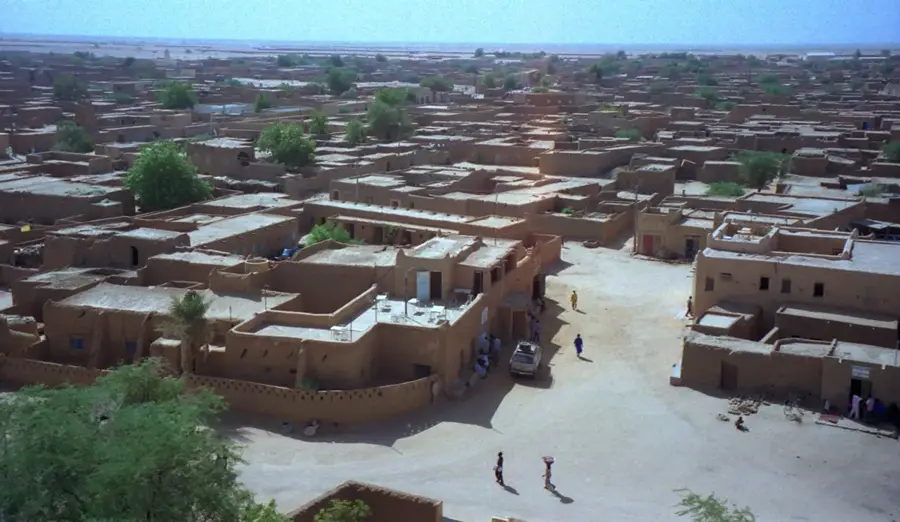
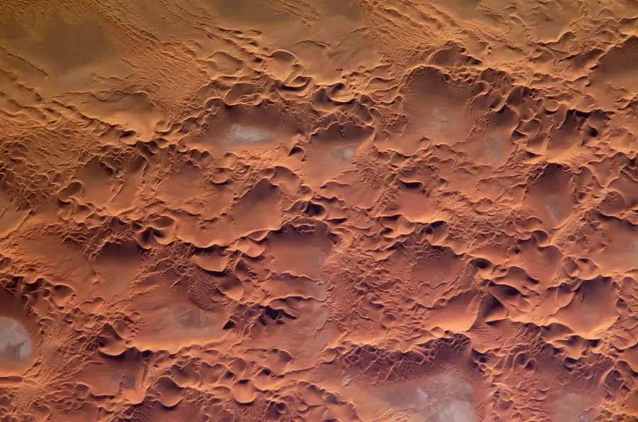
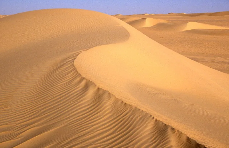
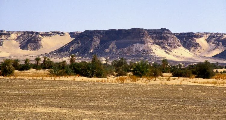
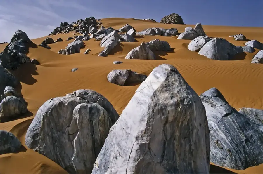
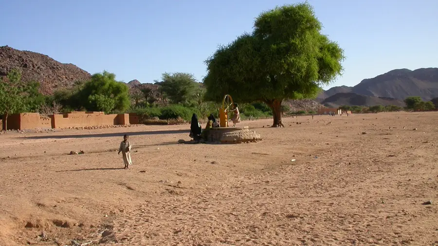
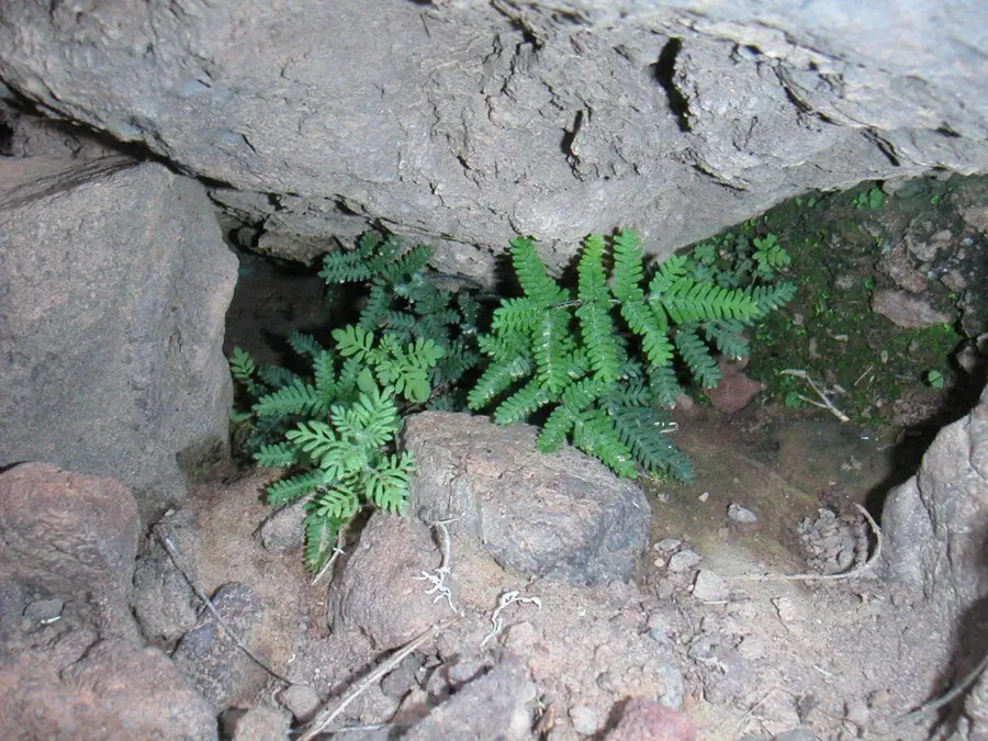
The Iférouane Massif Rise is a significant geological formation situated in the northern part of the Aïr Mountains in Niger. At an average elevation of 800 meters, this rugged landscape is deeply intertwined with the ancient Tuareg culture that has thrived here for generations. The region is renowned for its prehistoric rock art, which includes thousands of engravings depicting a once-greener Sahara with diverse wildlife. As part of a UNESCO World Heritage site, the massif is recognized for its unique biodiversity and geological importance. The climate is extremely arid, with annual rainfall typically measuring less than 50 millimeters. Despite these harsh conditions, the area remains a vital cultural landmark and a testimony to human adaptation in the desert.
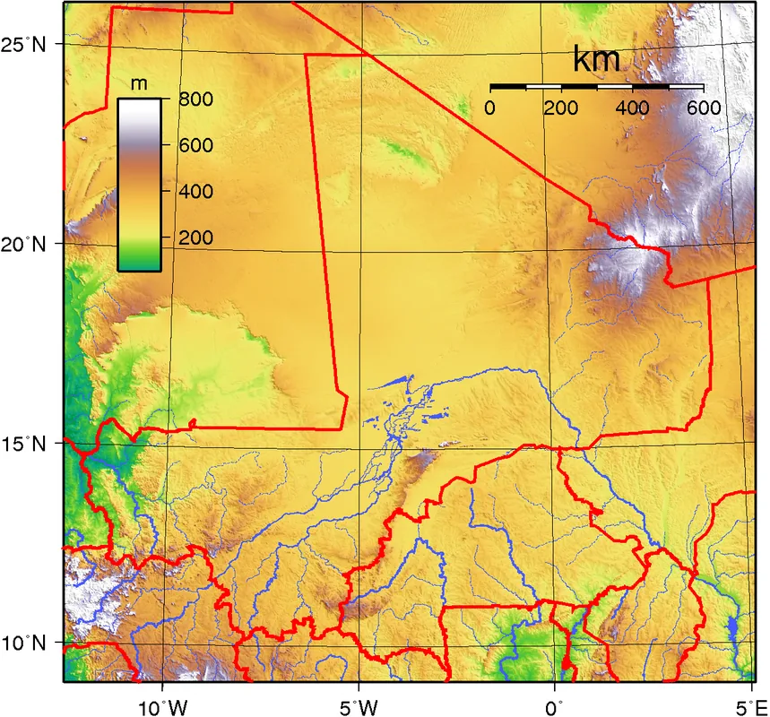
- Location: Niger
- Top sights: Mont Tchimourou · Tagha
- Nearby: Timia (32 km)
Best time to visit & climate
The most pleasant time to visit is Feb, Mar, Nov.
| Jan | Feb | Mar | Apr | May | Jun | Jul | Aug | Sep | Oct | Nov | Dec | |
|---|---|---|---|---|---|---|---|---|---|---|---|---|
| Avg °C | 15 | 19 | 23 | 27 | 30 | 31 | 30 | 29 | 29 | 25 | 21 | 16 |
| Rain mm | 0 | 0 | 0 | 1 | 10 | 12 | 20 | 50 | 8 | 2 | 0 | 0 |
📋 Practical info
Geography
Facts
- The massif reaches a typical elevation of 800 meters above sea level.
- It was included in the UNESCO World Heritage list in 1991.
- Archaeologists have documented rock art dating back 6,000 years.
- Average annual rainfall in the region is less than 50 millimeters.
- The area serves as a traditional northern base for Tuareg clans.
- Granite and metamorphic rocks form the core of the massif's geology.
Explore nearby
Notable places around
Route planner — Car & Motorhome
Where do you start? We build the route here, with stops and country notes along the way.
© OpenStreetMap contributors · OpenRouteService
Sights in the town Iférouane Massif Rise (2)
Sights nearby
Frequently asked questions
How difficult is the hike in the Iférouane-Massif?
What is the best time of year to visit?
Are there any sanitary facilities nearby?
Is special equipment required?
Is there a high risk during bad weather?
Iférouane Massif Rise: where is it located?
Iférouane Massif Rise: what is there to see?
Iférouane Massif Rise: when is the best time to visit?
Iférouane Massif Rise: why is it worth visiting?

Nearby cities
History & landmarks
Nature
More places