Plizio Visual Lab
Iférouane
ℹ️Practical info — Iférouane
▾
🌤 Weather — 5 days
📍 Nearby
Sights nearby
💡 Tips
- Visit during the cooler months (November to February) to explore the Aïr Mountains comfortably.
- A 4x4 vehicle is essential for navigating the sandy and rocky terrain around the oasis.
- Hire a local Tuareg guide; their knowledge of the desert and mountains is invaluable.
- Bring plenty of water and sun protection when venturing outside the palm groves.
🍽 Food
Try the traditional strong, sweet tea, typically served in three rounds (find it at local campsites).
Taste the locally grown dates straight from the oasis gardens.
A traditional nomad dish, usually offered in local guesthouses.
🛍 Shopping · 🧘 Quiet spots
Look for intricately crafted silver crosses and rings at local artisan workshops.
High-quality handmade bags and camel saddles from local leatherworkers.
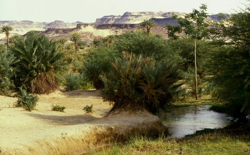
Take a peaceful walk among the irrigated date palms and fruit trees.
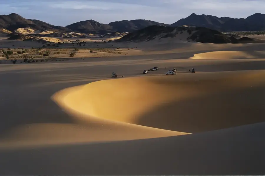
Enjoy the silence of the desert landscape at sunset just outside the settlement.
Water temperature…
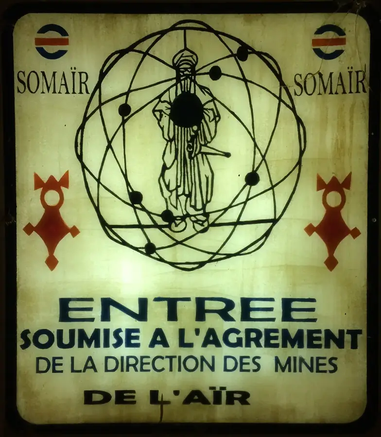
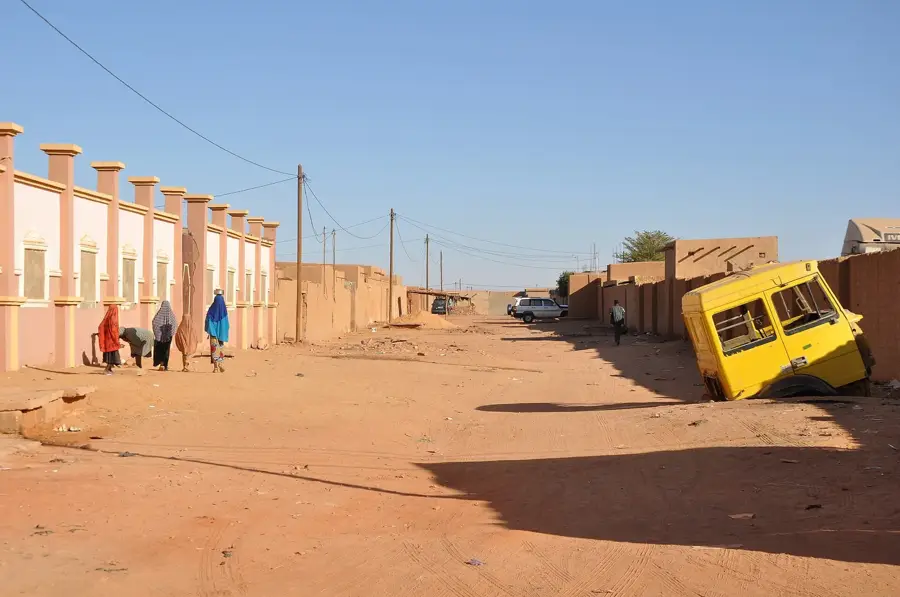
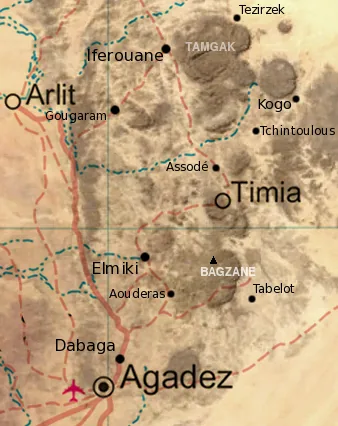
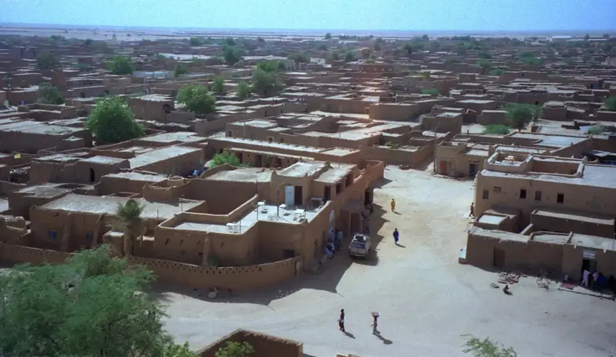
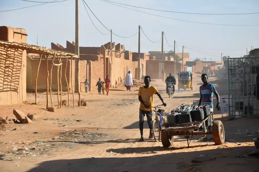
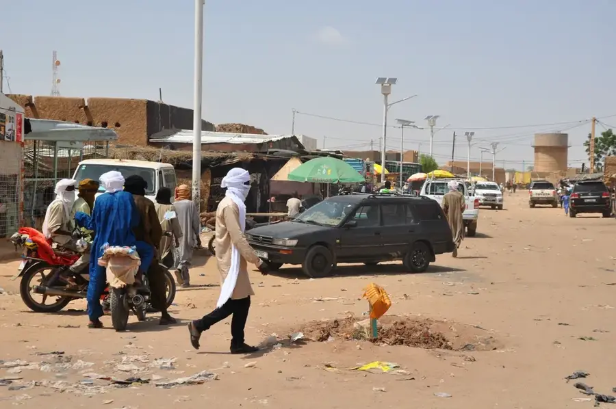
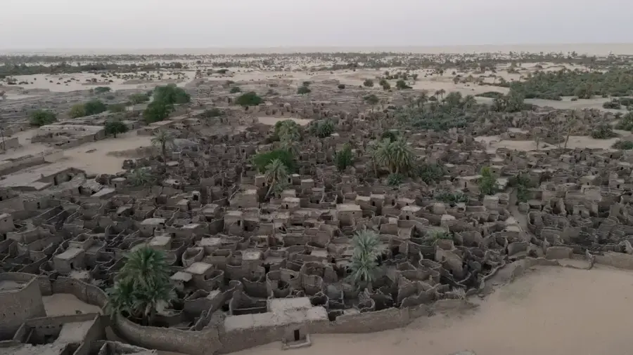
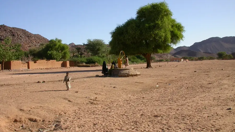
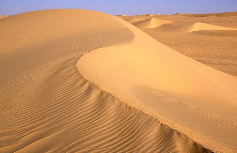
Iférouane is an oasis town in northern Niger, located within the Agadez Region at the northern tip of the Aïr Mountains. The settlement is dramatically situated between rugged granite peaks and the vast sand dunes of the Ténéré Desert. Geographically, Iférouane serves as the gateway to the Aïr and Ténéré Natural Reserves, a UNESCO World Heritage site. Historically, the town is a central bastion of Tuareg culture and has been a significant focal point for political movements throughout history. Life in the oasis is sustained by an ancient irrigation system that allows for the cultivation of wheat, vegetables, and fruit in an otherwise inhospitable environment. Iférouane is also renowned for its traditional craftsmanship, particularly the intricate silver jewelry created by Tuareg smiths. Despite its remote location, the town remains a powerful symbol of cultural identity and resilience for the Saharan peoples.
- Location: Niger
- Nearby: Arlit (82 km)
Best time to visit & climate
The most pleasant time to visit is Jan, Feb, Dec.
| Jan | Feb | Mar | Apr | May | Jun | Jul | Aug | Sep | Oct | Nov | Dec | |
|---|---|---|---|---|---|---|---|---|---|---|---|---|
| Avg °C | 18 | 22 | 26 | 31 | 34 | 35 | 34 | 33 | 33 | 29 | 24 | 20 |
| Rain mm | 0 | 0 | 0 | 1 | 5 | 8 | 14 | 38 | 8 | 2 | 0 | 0 |
Geography
Facts
- Iférouane is located approximately 300 kilometers north of the regional capital, Agadez.
- The town hosts the annual 'Festival de l'Aïr', a major celebration of Tuareg heritage.
- UNESCO designated the surrounding reserves as a World Heritage site in 1991.
- The oasis supports crops such as date palms, citrus fruits, and tobacco.
- Historically, Iférouane was a key strategic outpost during the colonial era.
- The nearby mountains contain some of the Sahara's most significant ancient rock art.
Explore nearby
Notable places around
Route planner — Car & Motorhome
Where do you start? We build the route here, with stops and country notes along the way.
© OpenStreetMap contributors · OpenRouteService
Frequently asked questions
Is the landscape in Iférouane beautiful?
What is the best time for Iférouane?
Do you need a guide for the surroundings?
Are the Aïr Mountains dangerous?
Is there a hotel there?
Iférouane: where is it located?
Iférouane: when is the best time to visit?
Iférouane: why is it worth visiting?

Nearby cities
History & landmarks
More places