Plizio Visual Lab
Tabelot

ℹ️Practical info — Tabelot
▾
🌤 Weather — 5 days
📍 Nearby
Sights nearby
Water temperature…
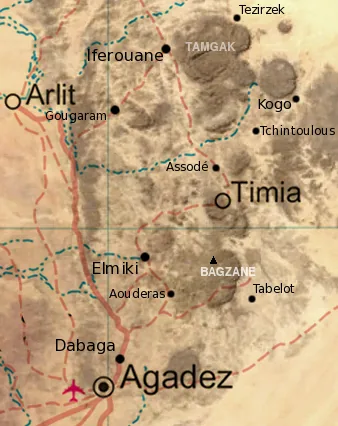
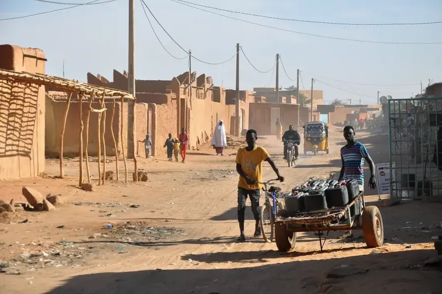
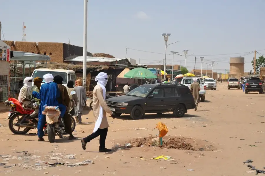
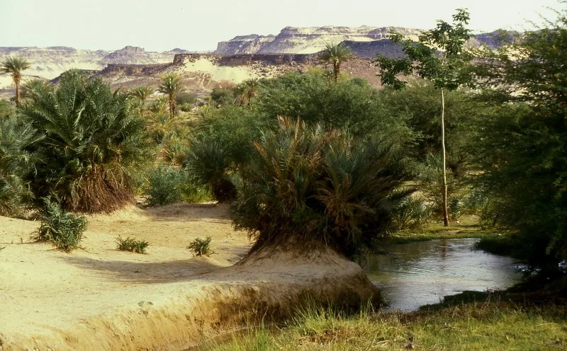
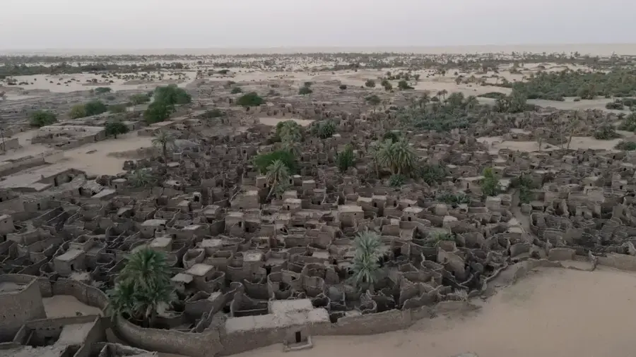
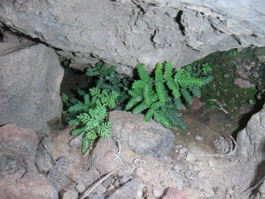
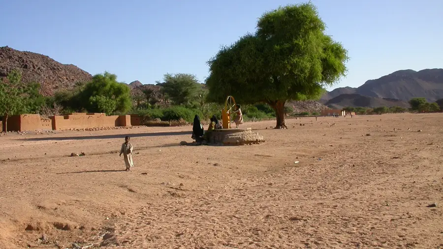
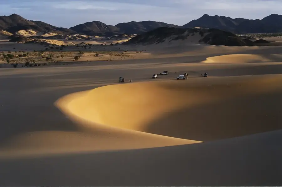
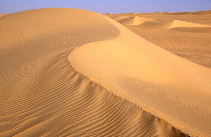
Tabelot is strategically located on the eastern edge of the Aïr Massif and serves as a bustling hub for surrounding nomadic communities. The town is primarily known for its weekly market, where livestock, grain, and artisanal products are traded. It is a fascinating place to observe the daily life of the Tuareg and experience the bustling atmosphere of an authentic desert market. For outdoor enthusiasts, Tabelot is the convenient starting point for expeditions to the Bagzane Plateau, Niger's highest mountain range. Guided hikes and camel treks start from here, leading deep into the spectacular mountain landscape. The surrounding nature is characterized by granite formations, deep gorges, and hidden water sources that host a surprising variety of wildlife. Local gastronomy is simple and nutritious. Millet porridge with goat's milk or meat skewers directly from the market grill are common. Strong, sweet mint tea is omnipresent and a symbol of social interaction and hospitality in this region. Access is via desert tracks from Agadez, requiring a robust vehicle. The best time for trekking is from October to February, when the heat subsides. Tabelot gives an authentic insight into rural Niger, far from the usual tourist paths, and is a must for anyone wanting to experience the real Sahara.
- Location: Niger
- Nearby: Mont Idoukal-n-Taghès (35 km)
Geography
Facts
- Gateway to Bagzane Plateau
- Important livestock market
- Hub for Tuareg nomads
- Starting point for treks
- Desert salt trade hub
- Traditional mud buildings
- Caravan crossroads
- Desert edge location
Explore nearby
Notable places around
Route planner — Car & Motorhome
Where do you start? We build the route here, with stops and country notes along the way.
© OpenStreetMap contributors · OpenRouteService
Frequently asked questions
Tabelot: where is it located?
Tabelot: why is it worth visiting?

Nearby cities

History & landmarks
More places