Plizio Visual Lab
Tchirozérine

ℹ️Practical info — Tchirozérine
▾
🌤 Weather — 5 days
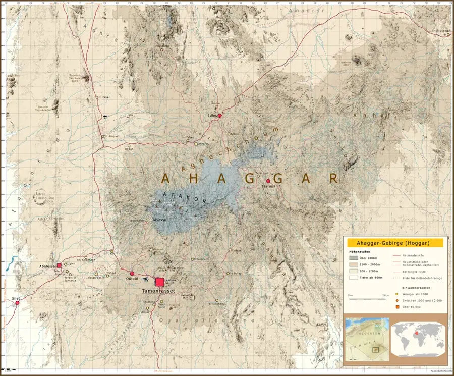
📍 Nearby
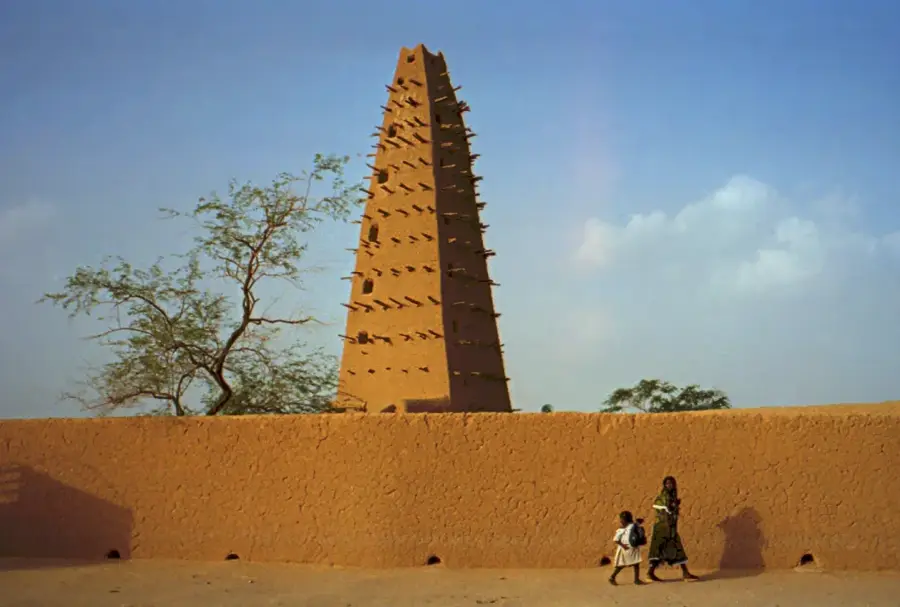
Sights nearby
💡 Tips
- Visit the local museum to learn about the mining history and the culture of the Tubu people.
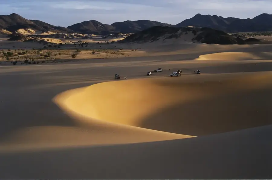
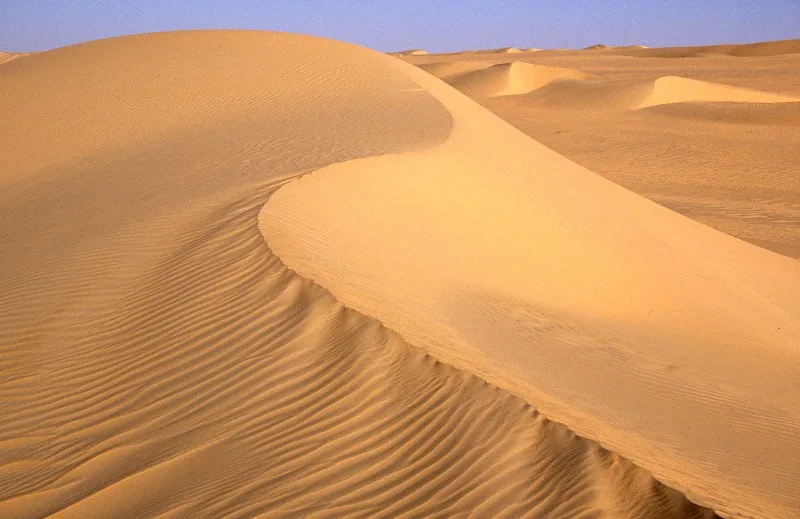
- Plan excursions into the blue and ochre hills only with an experienced local guide.
- Observe the town's industrial significance; coal mining drives the rhythm and energy supply of the region.
- Wear clothing that protects against fine desert dust, especially during the Harmattan wind season.
- Always ask for permission before photographing any mining installations.
🍽 Food
The traditional nomad bread, baked directly in the hot desert sand.
Fresh from nearby herds, a nutritious and cooling drink for desert dwellers.
Dried, spiced meat, great for long journeys through the surrounding area.
🛍 Shopping · 🧘 Quiet spots
Look for handcrafted crosses and amulets made by local smiths.
Sturdy bags and sandals, often crafted in workshops on the outskirts of town.
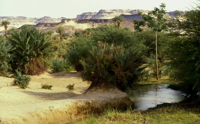
A viewpoint outside the mining zone, first-rate for seeing the desert colors in the evening light.
Walks away from the industrial sites lead into the quiet expanse of the Saharan landscape.
Water temperature…
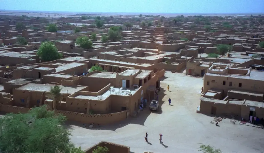
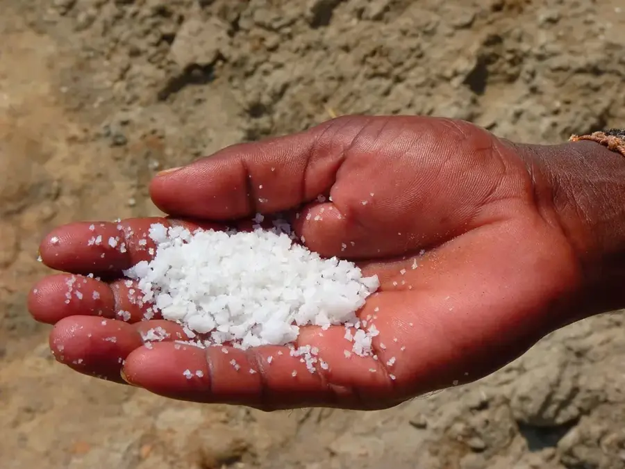
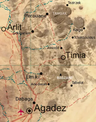
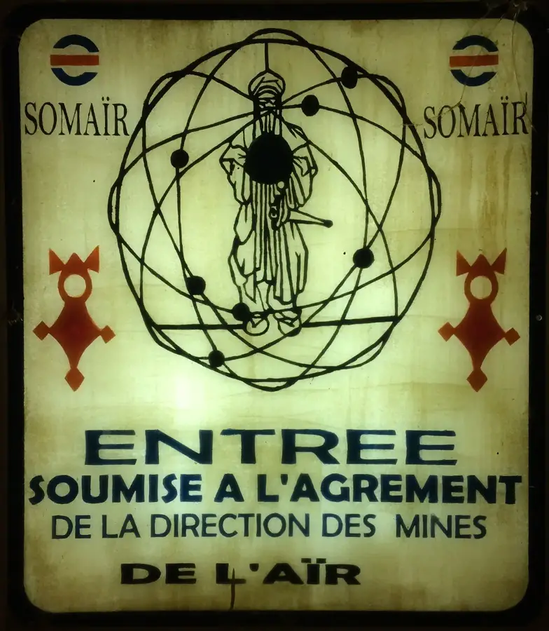
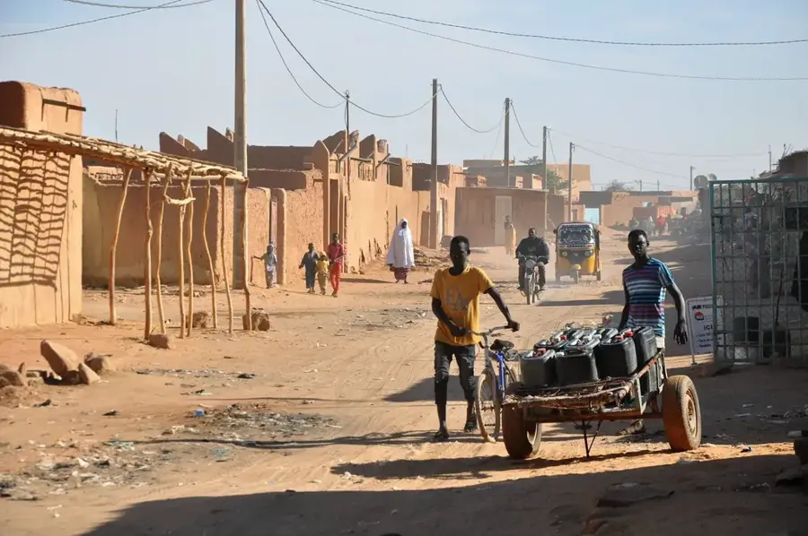
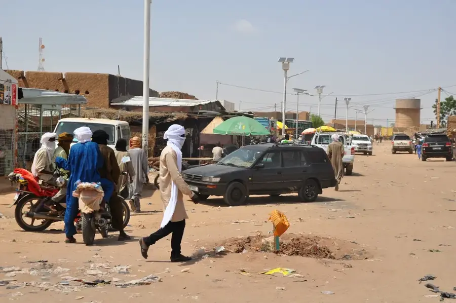
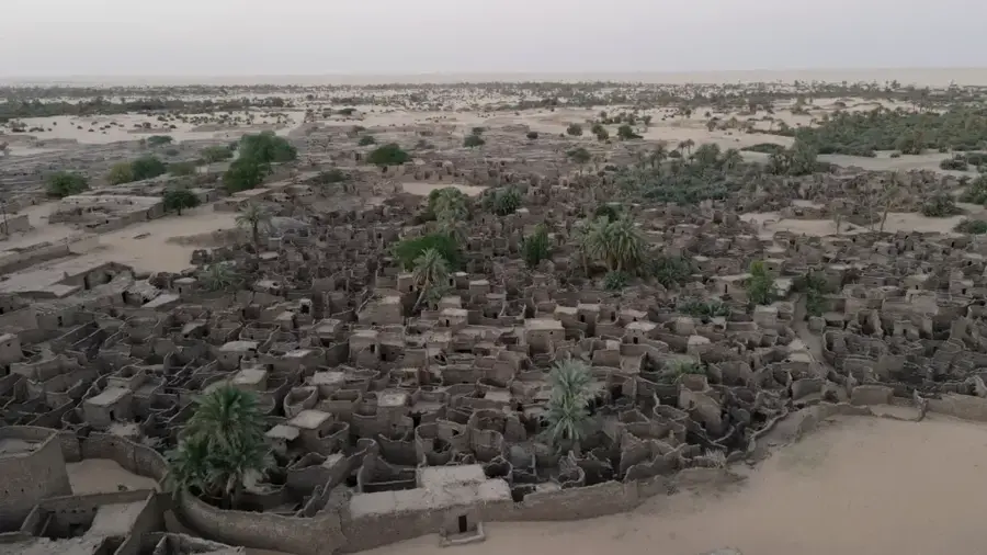
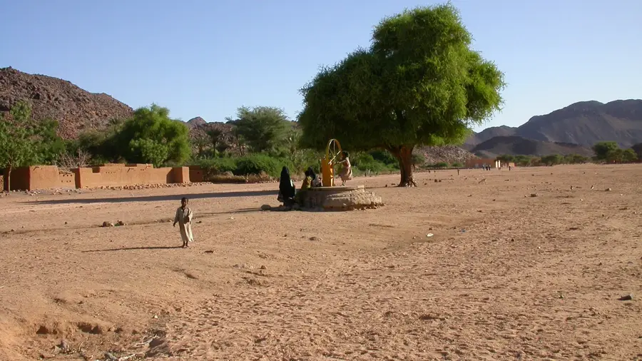
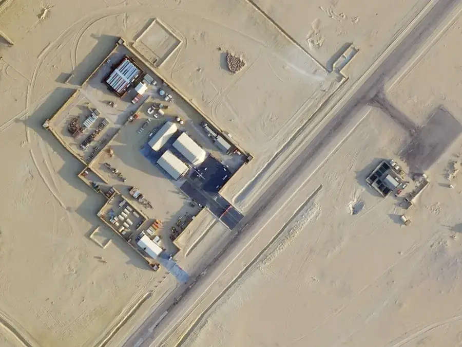
Tchirozérine is a strategically significant industrial town located in the Agadez Region of northern Niger, situated at the southern foothills of the Aïr Mountains. The town gained prominence following the establishment of the SONICHAR coal mine at Anou Araren in the late 1970s, designed to provide power to the uranium mines of Arlit and Akokan. Its thermal power plant is a critical component of Niger's energy infrastructure, utilizing local coal deposits to generate electricity for the nation's most vital export sector. The population is a mix of Tuareg nomads and industrial workers, reflecting the dual nature of the local economy which balances traditional pastoralism with modern mining operations. Despite the harsh Saharan climate and extreme aridity, the town serves as an essential supply hub and administrative center for the surrounding department. Architecturally, the town features a blend of functional industrial facilities and traditional mud-brick dwellings characteristic of the Sahel. Tchirozérine's ongoing relevance is tied to its role in sustaining the economic backbone of Niger through its unique mineral and energy contributions.
- Location: Niger
- Nearby: Agadez (32 km)
Best time to visit & climate
The most pleasant time to visit is Jan, Feb, Dec.
| Jan | Feb | Mar | Apr | May | Jun | Jul | Aug | Sep | Oct | Nov | Dec | |
|---|---|---|---|---|---|---|---|---|---|---|---|---|
| Avg °C | 19 | 23 | 27 | 31 | 34 | 34 | 32 | 30 | 31 | 29 | 25 | 21 |
| Rain mm | 0 | 0 | 0 | 1 | 6 | 27 | 49 | 95 | 17 | 2 | 0 | 0 |
Geography
Facts
- Home to the SONICHAR coal-fired power plant.
- Supplies electricity to the Arlit uranium mining district.
- Located approximately 50 kilometers north of Agadez.
- The coal mine was established in the late 1970s.
- It serves as a key administrative hub in the Agadez Region.
- The primary ethnic groups are Tuareg, Hausa, and Fula.
Explore nearby
Notable places around
Route planner — Car & Motorhome
Where do you start? We build the route here, with stops and country notes along the way.
© OpenStreetMap contributors · OpenRouteService
Frequently asked questions
What is the significance of Tchirozérine?
Is Tchirozérine accessible for tourists?
What should you not miss here?
What is the safest time to travel?
What is typical of Tchirozérine?
Tchirozérine: where is it located?
Tchirozérine: when is the best time to visit?
Tchirozérine: why is it worth visiting?

Nearby cities

History & landmarks
More places