Plizio Visual Lab
Arlit
ℹ️Practical info — Arlit
▾
🌤 Weather — 5 days
📍 Nearby
Sights nearby
💡 Tips
- Travel to Arlit requires strict security arrangements and government permits due to its remote desert location.
- The town is highly industrial and dusty from mining operations, so bringing a face covering is highly recommended.
- Avoid intense outdoor activities midday; the Saharan heat is extreme and unforgiving.
- The local economy is heavily cash-based. Bring West African CFA francs from a larger city like Agadez.
🍽 Food
Fire-grilled mutton, heavily seasoned and best eaten fresh off the coals at stalls in the central market.
A rich, flavorful rice dish cooked in meat broth with vegetables, found at small neighborhood eateries.
Strong, sweet green tea ritually poured and served in three rounds. Accept it to share a moment with locals.
🛍 Shopping · 🧘 Quiet spots
Look for the iconic Agadez Cross and intricate handmade silver items sold directly by local artisans.
Handcrafted camel leather bags, belts, and small pouches are available from vendors in the main market.
Experience the deep silence of the desert on the town's edge, but ensure you go with a trusted local guide.
The exterior perimeters of local mud-brick mosques provide shaded, peaceful spots away from the busy streets.
Water temperature…
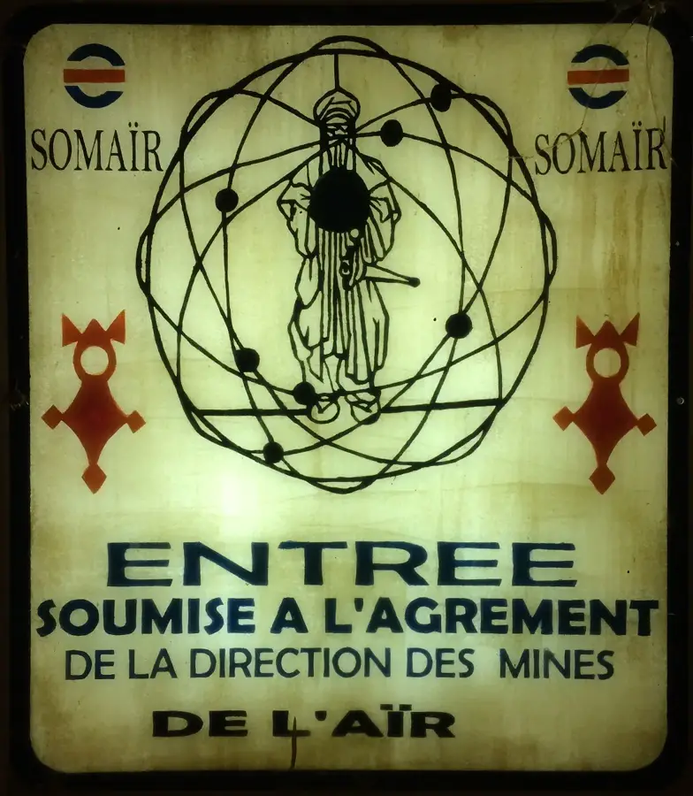
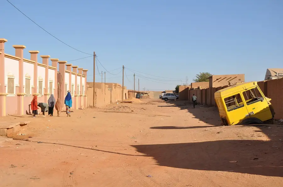
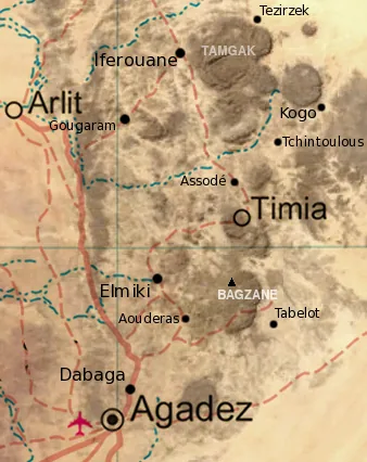
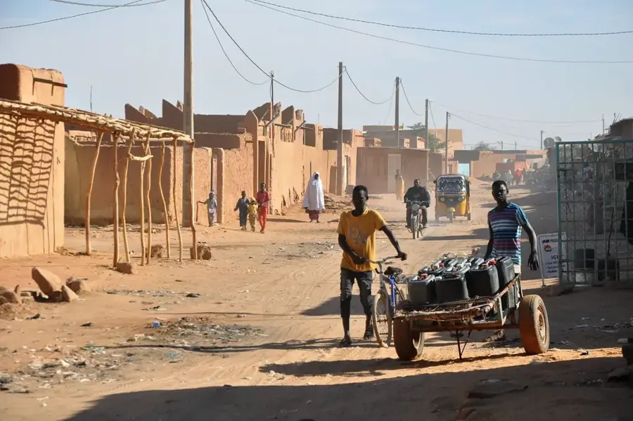
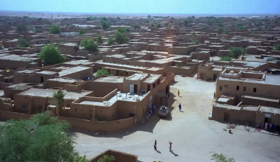
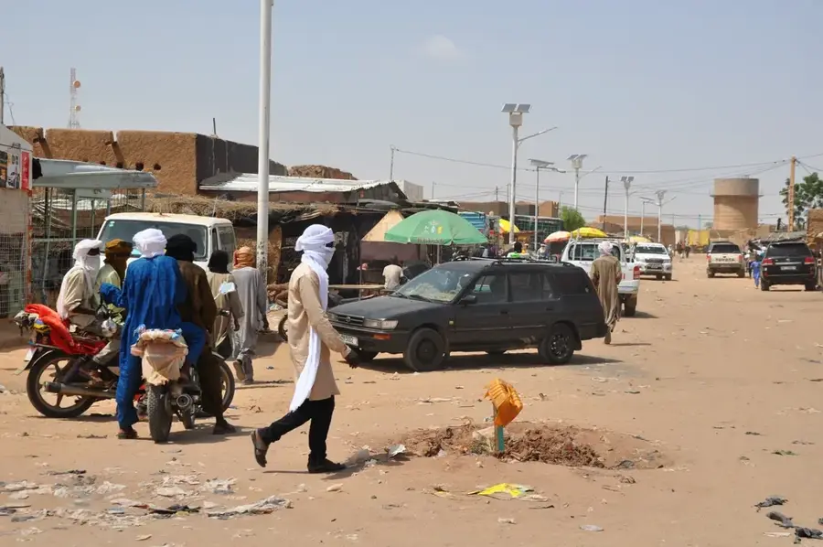
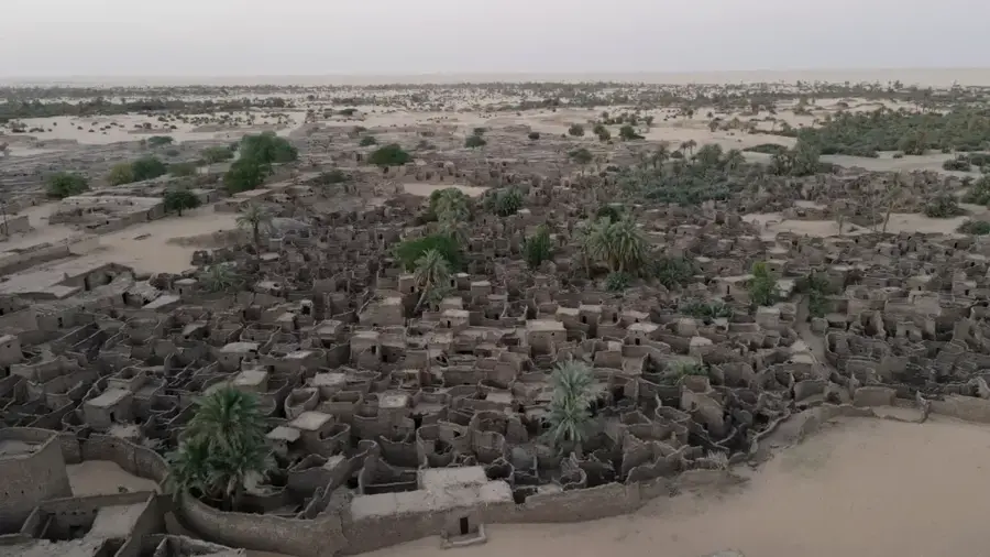
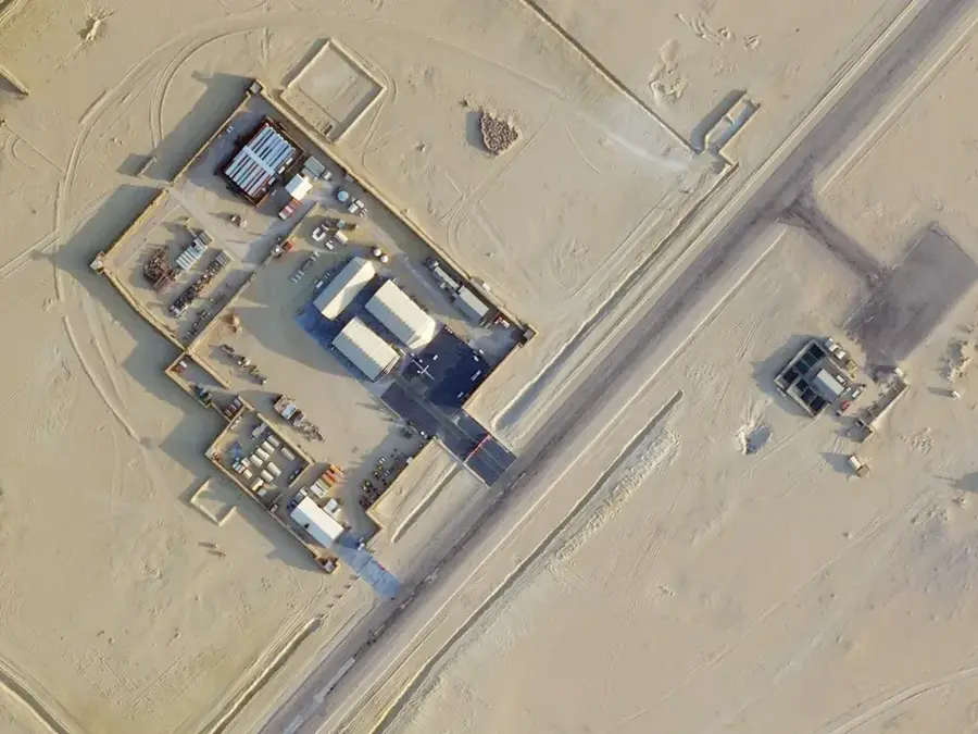
Arlit is a significant industrial town in northern Niger, established in the late 1960s following the discovery of vast uranium deposits in the region. Located in the Aïr Mountains, approximately 200 kilometers north of Agadez, the town serves as the hub of Niger's mining industry. Arlit was purpose-built to house the workforce for the SOMAIR and COMINAK uranium mines, resulting in a modern, planned urban layout that stands in contrast to traditional Nigerien settlements. The uranium extracted here makes Niger one of the world's leading producers of the resource, giving Arlit immense economic and geopolitical importance. Despite the mining wealth, the town faces substantial challenges, including environmental concerns regarding radioactive tailings and water scarcity in the arid desert environment. Arlit is a critical logistical node for the transport of ore across long distances to the ports of Benin. Its population is diverse, composed of skilled workers, engineers, and their families from across Niger and abroad.
- Location: Niger
- Top sights: Arlit Department · Stade d'Arlit
- Nearby: Iférouane (82 km)
- Population: ~106.448 (2024)
Best time to visit & climate
The most pleasant time to visit is Jan, Feb, Dec.
| Jan | Feb | Mar | Apr | May | Jun | Jul | Aug | Sep | Oct | Nov | Dec | |
|---|---|---|---|---|---|---|---|---|---|---|---|---|
| Avg °C | 19 | 23 | 27 | 32 | 35 | 36 | 35 | 33 | 33 | 30 | 25 | 21 |
| Rain mm | 0 | 0 | 0 | 1 | 3 | 8 | 26 | 58 | 11 | 1 | 0 | 0 |
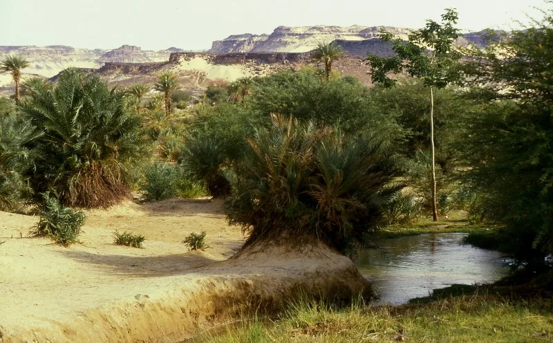
Geography
Facts
- Arlit was established in 1969 following the discovery of uranium.
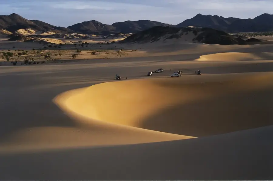
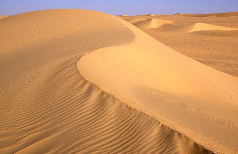
- The town is situated in the Sahara Desert on the northwestern edge of the Aïr Mountains.
- The uranium mines at Arlit are among the largest open-pit operations in the world.
- Arlit has a population of around 80,000, primarily consisting of mining staff.
- Uranium mining here is managed by international consortia, notably with French interests.
- The 'Uranium Highway' connects Arlit to the capital, Niamey, over a distance of 1,200 km.
Explore nearby
Notable places around
Route planner — Car & Motorhome
Where do you start? We build the route here, with stops and country notes along the way.
© OpenStreetMap contributors · OpenRouteService
Sights in the town Arlit (2)
Frequently asked questions
What is Arlit known for?
Is Arlit a tourist destination?
How do I get to Arlit?
Are there attractions in Arlit?
Is a stay in Arlit comfortable?
Arlit: where is it located?
Arlit: what is there to see?
Arlit: when is the best time to visit?
Arlit: why is it worth visiting?

Nearby cities
History & landmarks
More places