Plizio Visual Lab
Aïr Mountains
Weather…
Water temperature…
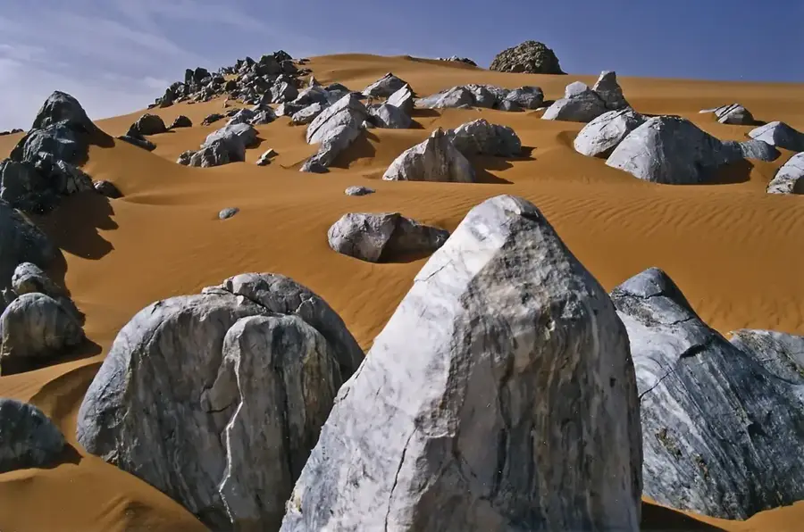
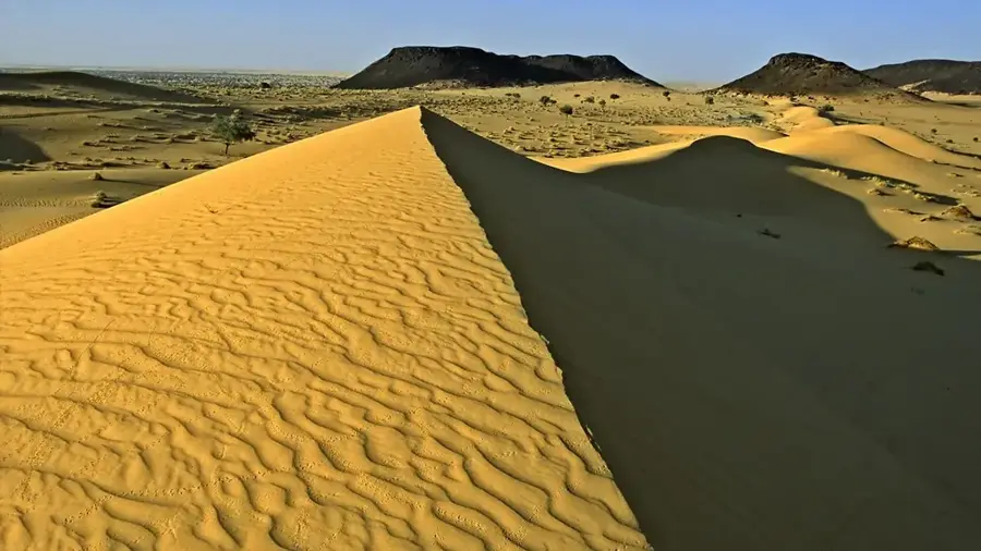
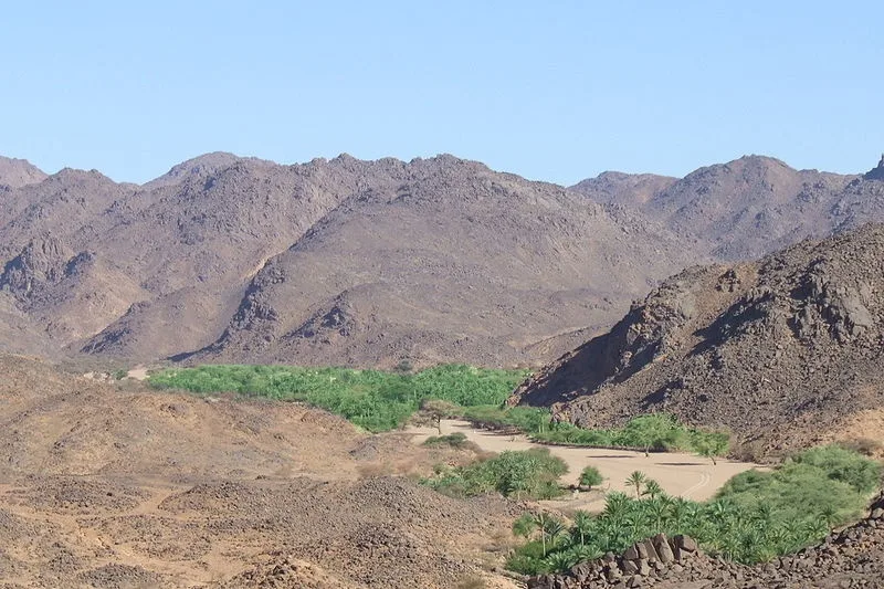
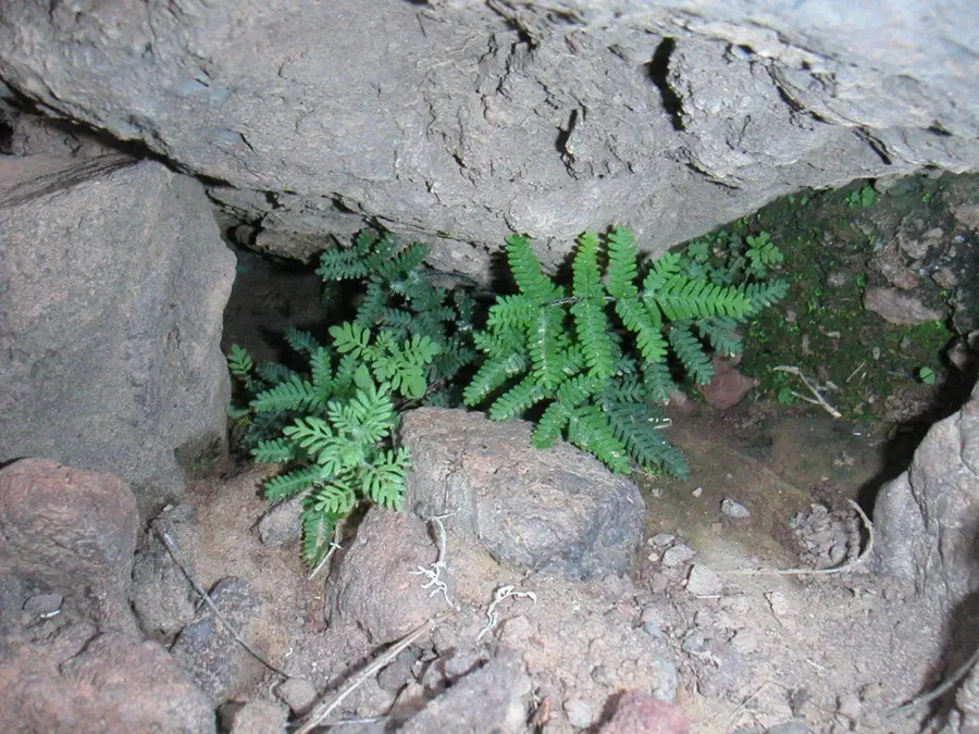
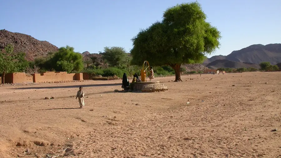
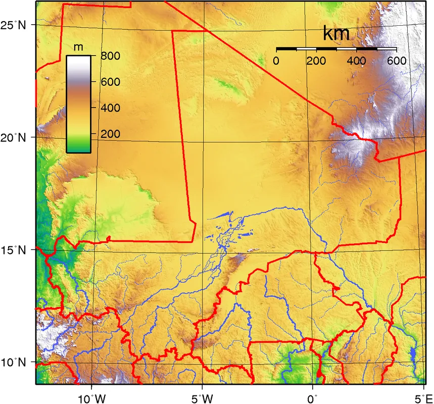
The Aïr Mountains are a triangular massif located in northern Niger, rising dramatically from the surrounding Sahara Desert. Composed primarily of dark volcanic rock and ancient granites, the range creates a stark visual contrast with the pale sands of the Ténéré Desert to the east. The highest peak is Mont Idoukal-n-Taghès, reaching an elevation of 2,022 meters above sea level. This mountainous region acts as an ecological island, supporting flora and fauna that are unusual for the Sahara, such as wild olives, acacias, and endangered animals like the Addax antelope. For centuries, the area has been home to the Tuareg people, who have navigated its complex canyons and utilized its gueltas (permanent water holes) for livestock. Thousands of ancient rock engravings found throughout the massif provide evidence of a much greener past when elephants and giraffes inhabited the region. Since 1991, the Aïr Mountains have been recognized as a UNESCO World Heritage site.
- Location: Niger
- Nearby: Mont Idoukal-n-Taghès (30 km)
Best time to visit & climate
The most pleasant time to visit is Feb, Mar, Nov.
| Jan | Feb | Mar | Apr | May | Jun | Jul | Aug | Sep | Oct | Nov | Dec | |
|---|---|---|---|---|---|---|---|---|---|---|---|---|
| Avg °C | 15 | 19 | 23 | 27 | 30 | 31 | 30 | 29 | 29 | 25 | 21 | 16 |
| Rain mm | 0 | 0 | 0 | 1 | 10 | 12 | 20 | 50 | 8 | 2 | 0 | 0 |
📋 Practical info
Geography
Facts
- Mont Idoukal-n-Taghès is the highest point in Niger at 2,022 meters.
- The Aïr and Ténéré Natural Reserve is the largest protected area in Africa.
- Prehistoric rock art in the mountains dates back to at least 4000 BC.
- The massif consists of nine circular granitic intrusions known as 'ring complexes'.
- The Tuareg people refer to the region as 'the heart of the desert'.
- The area was officially designated a UNESCO World Heritage site in 1991.
Explore nearby
Notable places around
Route planner — Car & Motorhome
Where do you start? We build the route here, with stops and country notes along the way.
© OpenStreetMap contributors · OpenRouteService
Sights in the town Aïr Mountains (1)
Sights nearby
Frequently asked questions
How difficult is hiking in the Aïr Mountains?
When is the best time to visit?
Is parking available?
Are there water sources?
Are there weather risks?
Aïr Mountains: where is it located?
Aïr Mountains: when is the best time to visit?
Aïr Mountains: why is it worth visiting?

Nearby cities
History & landmarks
Nature
More places