Plizio Visual Lab
Dirkou
ℹ️Practical info — Dirkou
▾
🌤 Weather — 5 days
📍 Nearby
Sights nearby
💡 Tips
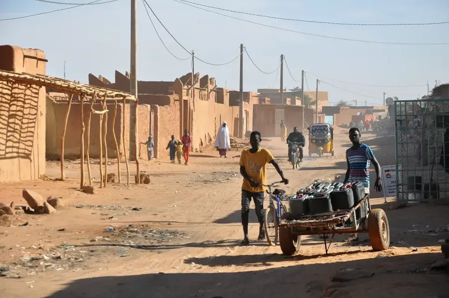
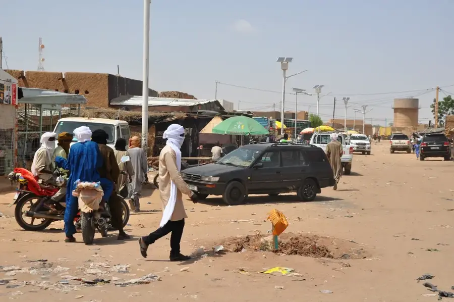
- Travel here requires careful planning and often military convoys; ensure your paperwork and permits are in first-rate order.
- The Saharan climate is extreme; carry plenty of water and prioritize sun protection at all times.
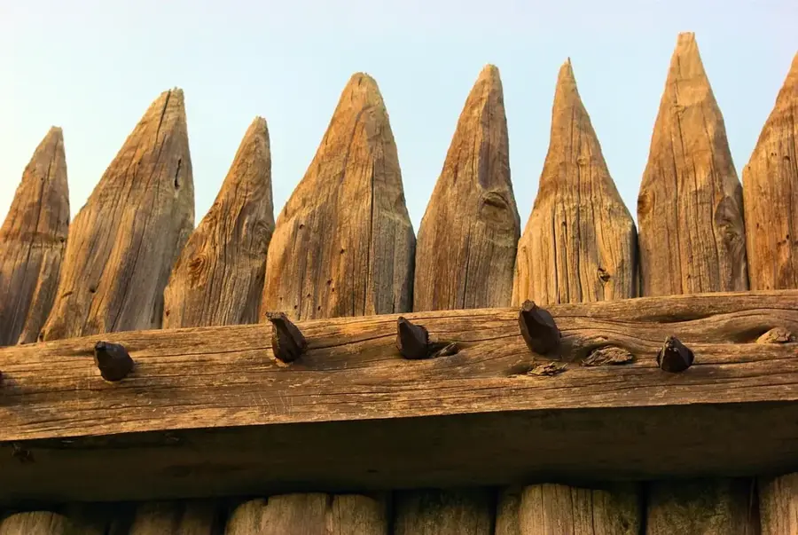
- This is mainly a transit and military hub, so expect very basic infrastructure and limited tourist facilities.
- Always ask for permission before photographing people, and strictly avoid taking pictures of military installations.
🍽 Food
Strongly brewed and served in three distinct rounds, available in local teahouses.
Freshly harvested from the surrounding oasis and sold in the market area.
A sustaining staple meal commonly served at truck stops and basic eateries.
🛍 Shopping · 🧘 Quiet spots
Buy them directly from farmers near the palm groves for the best quality.
Chunks of natural salt brought in by caravans from nearby Bilma.
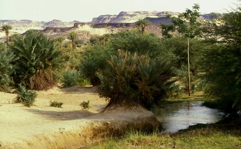
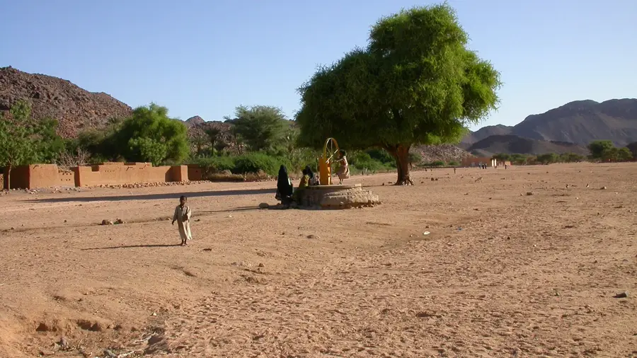
A rare and peaceful expanse of shade and greenery contrasting the desert.
Walk a short distance outside the settlement for incredible stargazing at night.
Water temperature…
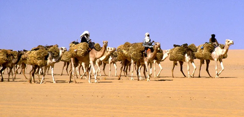
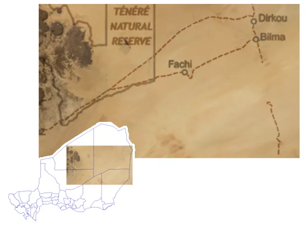
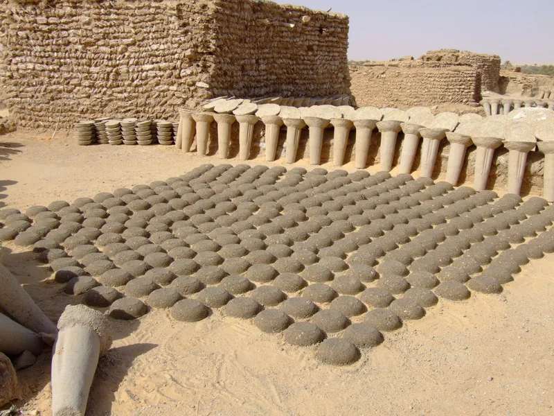
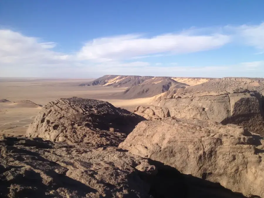
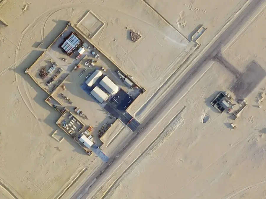
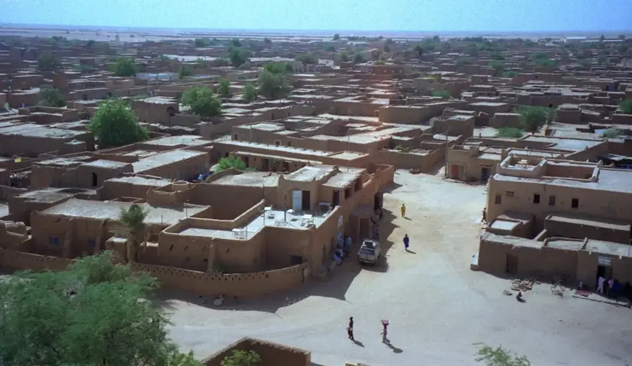
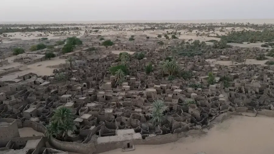
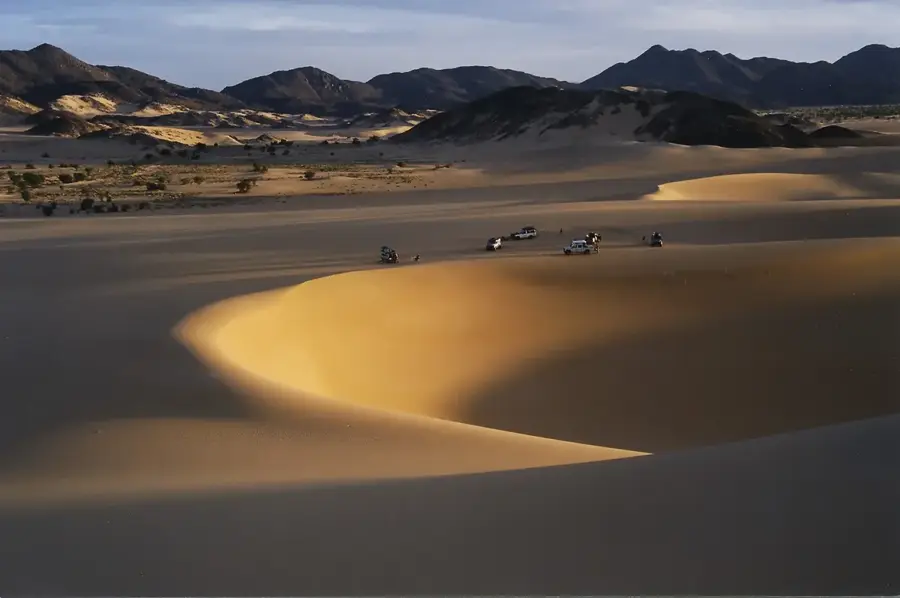
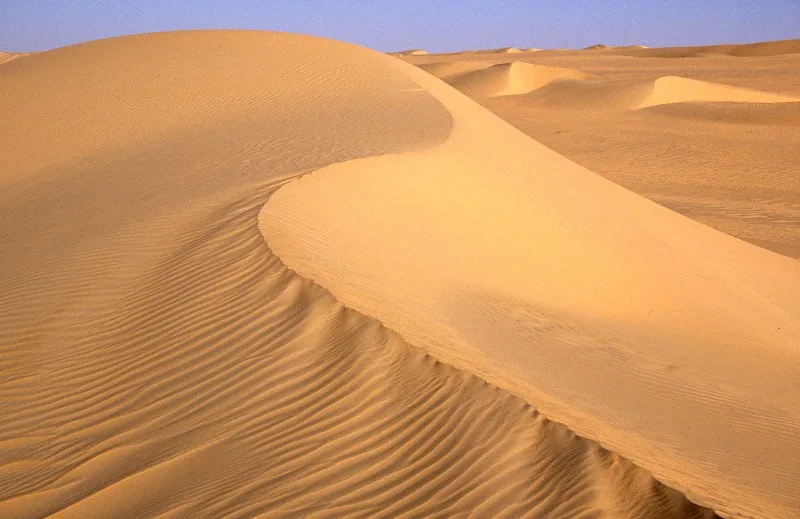
Dirkou is a strategic oasis town located in the Agadez Region of northeastern Niger, situated along the Kaouar escarpment. Historically, the settlement served as a vital caravan stop on the trans-Saharan trade route connecting North Africa with the Sahel. The local economy is traditionally based on the cultivation of date palms and the extraction of salt from nearby salt pans. Dirkou is a key administrative center for the Bilma Department and serves as a major transit point for migration and trade between Niger and Libya. The surrounding landscape is characterized by the harsh Saharan environment, where water security is provided by natural springs within the oasis. In recent years, it has gained significance as a military and security outpost due to its proximity to international borders and its role in regional stability.
- Location: Niger
- Nearby: Bilma (33 km)
Best time to visit & climate
The most pleasant time to visit is Feb, Mar, Nov.
| Jan | Feb | Mar | Apr | May | Jun | Jul | Aug | Sep | Oct | Nov | Dec | |
|---|---|---|---|---|---|---|---|---|---|---|---|---|
| Avg °C | 16 | 19 | 24 | 29 | 33 | 34 | 34 | 34 | 32 | 28 | 22 | 17 |
| Rain mm | 0 | 0 | 0 | 0 | 8 | 1 | 1 | 4 | 1 | 0 | 0 | 0 |
Geography
Facts
- Located in the Agadez Region along the Kaouar escarpment.
- Key stop on the trans-Saharan caravan trade routes.
- Economy relies on date palm cultivation and salt production.
- Administrative center for the Bilma Department of Niger.
- Situated approximately 35 kilometers north of Bilma.
- Serves as a strategic military outpost for border security.
Explore nearby
Notable places around
Route planner — Car & Motorhome
Where do you start? We build the route here, with stops and country notes along the way.
© OpenStreetMap contributors · OpenRouteService
Frequently asked questions
Is Dirkou a tourist city?
What can one see around Dirkou?
Do I need supplies for Dirkou?
Is it safe to camp at night in the desert?
When should I avoid Dirkou?
Dirkou: where is it located?
Dirkou: when is the best time to visit?
Dirkou: why is it worth visiting?

Nearby cities
History & landmarks
More places