Plizio Visual Lab
Baitsi

ℹ️Practical info — Baitsi
▾
🌤 Weather — 5 days
📍 Nearby
Sights nearby
💡 Tips
- Explore the hilly interior early in the morning to avoid the midday heat.
- Renting a scooter or bicycle is the best way to navigate the narrow roads connecting the coast to the interior.
- Keep an eye out for local agricultural plots; it's a great opportunity to see traditional island farming practices.
- Mosquito repellent is essential when heading inland towards the hills.
🍽 Food
Look for small coastal food stalls serving freshly caught fish prepared with local coconuts.
Available at local community gatherings or family-run eateries in the agricultural areas.
A traditional Nauruan delicacy, sometimes offered at local diners near the main roads.
🛍 Shopping · 🧘 Quiet spots
Small roadside stalls selling fresh tropical fruits grown in the district's hills.
Look for woven pandanus mats or baskets sold by local artisans near residential areas.
A peaceful spot to watch the ocean waves, away from the busier southern districts.
Walk up the inland trails for a quiet vantage point over the island.
Water temperature…
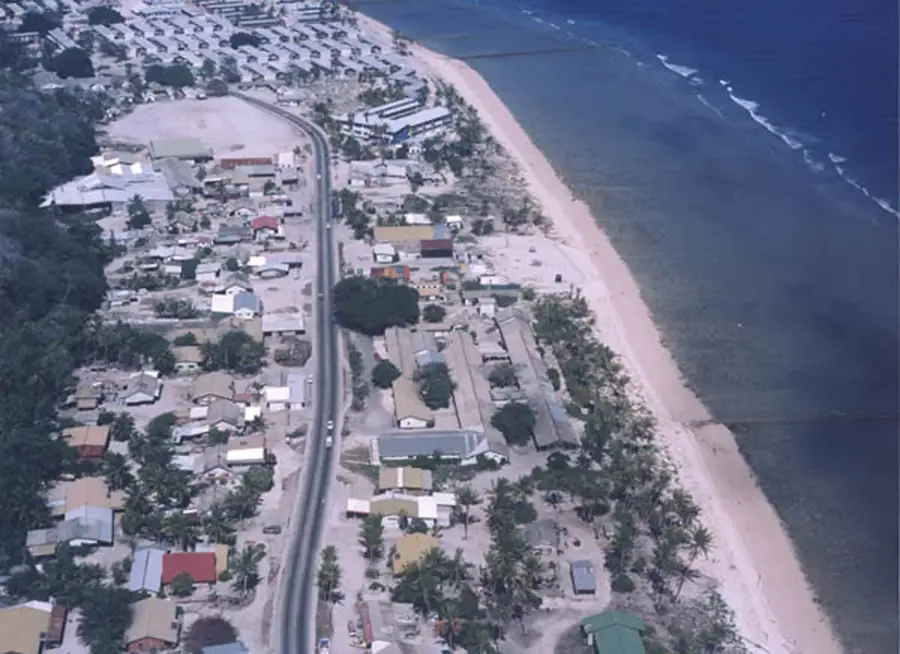
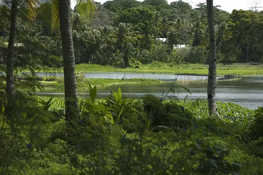
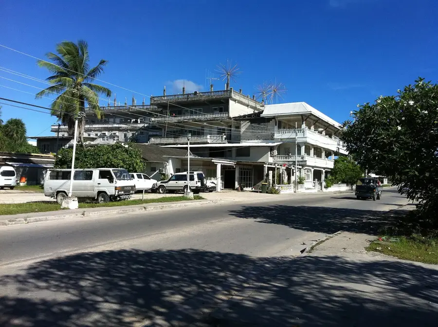
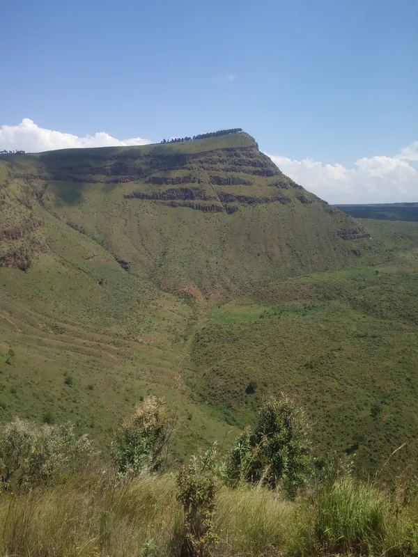
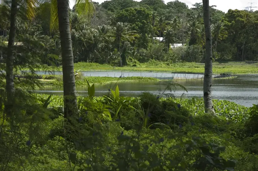
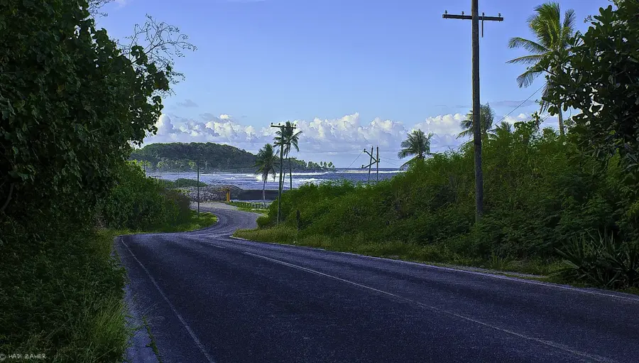
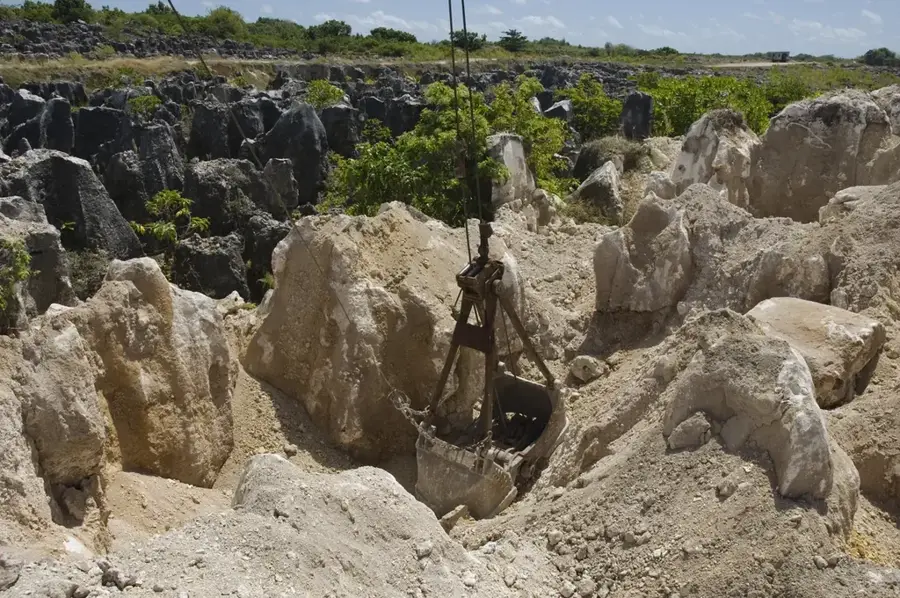
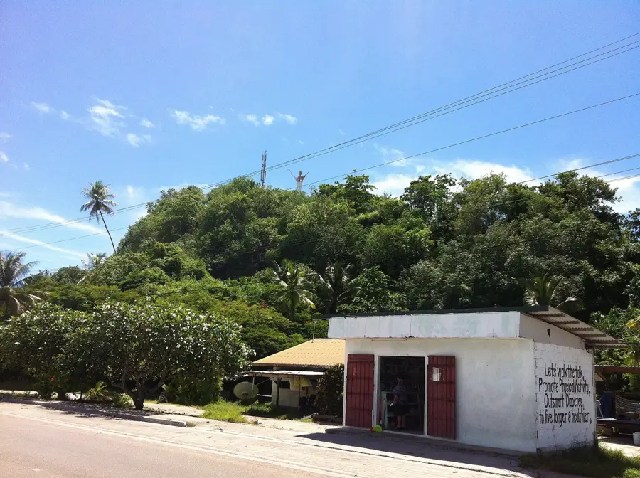
Baitsi is one of Nauru's northern districts, featuring a distinct geographical transition from narrow coastal flats to the rising hilly terrain of the island's interior. Historically, the district served as a vital agricultural hub, particularly famous for fruit farming and the cultivation of citrus trees on its fertile coastal soils. Positioned between the districts of Uaboe and Ewa, it features a peaceful rural environment that contrasts with the more industrial parts of the island. The coastline is protected by lively coral reefs, which provide excellent opportunities for observing marine life in shallow tidal pools during low tide. While large-scale farming has declined, Baitsi’s identity remains tied to its lush environment and its past reputation as the north's breadbasket. Visitors can experience the authentic local lifestyle while enjoying the scenic views of the Pacific from the elevated inland areas, making it a key location for understanding Nauru's traditional land use and natural heritage.
- Location: Nauru
- Nearby: Anibare (4 km)
- Population: ~810 (2026)
Best time to visit & climate
The most pleasant time to visit is May, Jun, Sep.
| Jan | Feb | Mar | Apr | May | Jun | Jul | Aug | Sep | Oct | Nov | Dec | |
|---|---|---|---|---|---|---|---|---|---|---|---|---|
| Avg °C | 28 | 28 | 28 | 28 | 28 | 28 | 28 | 28 | 28 | 28 | 28 | 28 |
| Rain mm | 194 | 192 | 193 | 161 | 116 | 107 | 123 | 118 | 108 | 118 | 133 | 202 |
Geography
Facts
- Land area of approximately 1.2 square kilometers
- Administratively part of the Ubenide constituency
- Located north of the Uaboe district
- Possesses a narrow sandy beach strip by the ocean
- The historical name of the region was Beidi
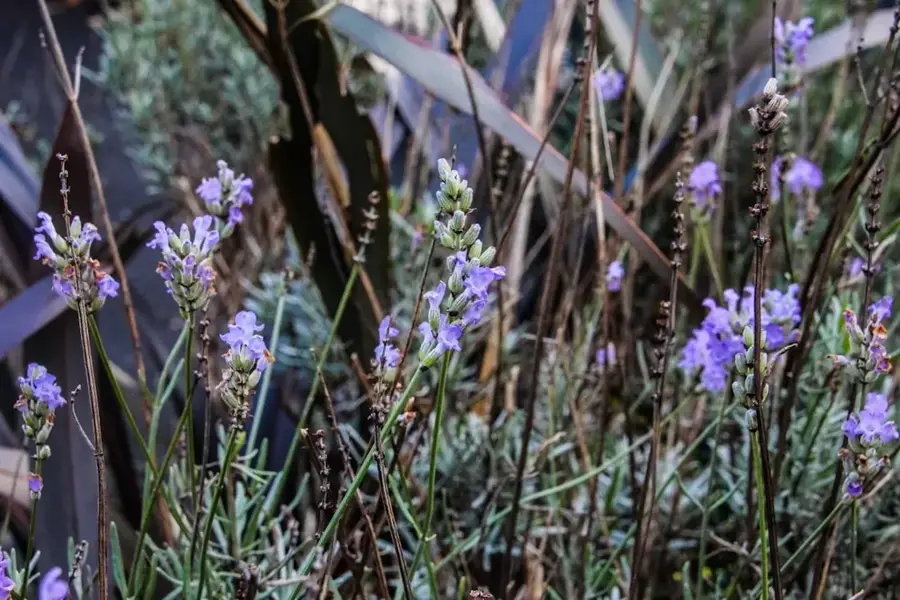
- Vegetation includes coconut palms and hibiscus
Explore nearby
Notable places around
Route planner — Car & Motorhome
Where do you start? We build the route here, with stops and country notes along the way.
© OpenStreetMap contributors · OpenRouteService
Sights in the town Baitsi (1)
Frequently asked questions
What is Baitsi known for?
Are there attractions nearby?
Is it good for walking there?
How is the connection to Baitsi?
Does a visitor need much time here?
Baitsi: where is it located?
Baitsi: when is the best time to visit?
Baitsi: why is it worth visiting?

Nearby cities


History & landmarks


Nature


More places