Plizio Visual Lab
Buada Lagoon

Weather…
Water temperature…
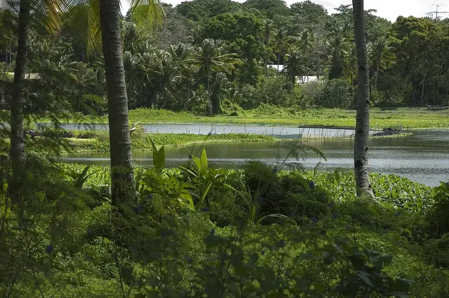
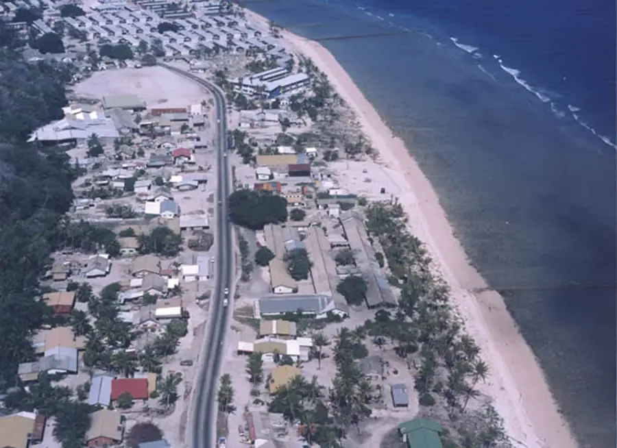
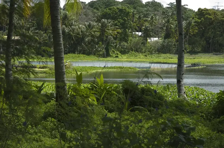
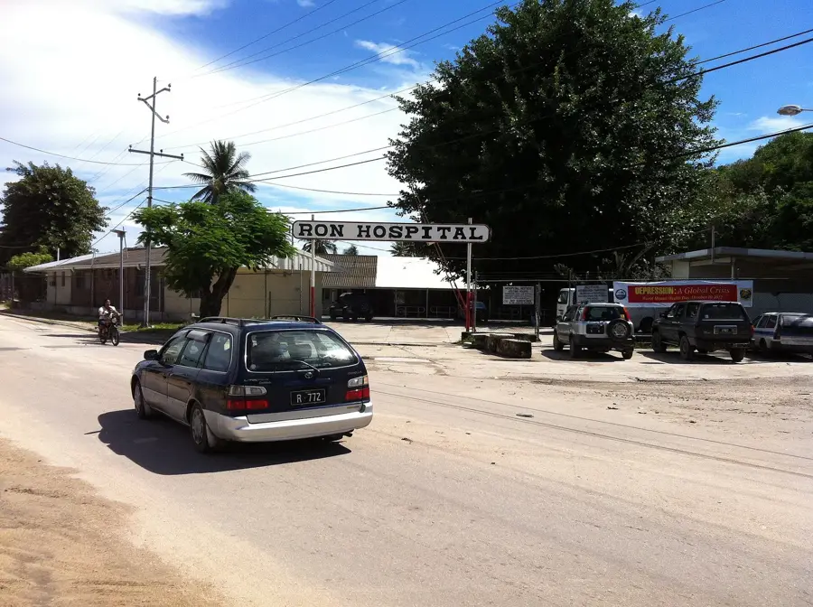
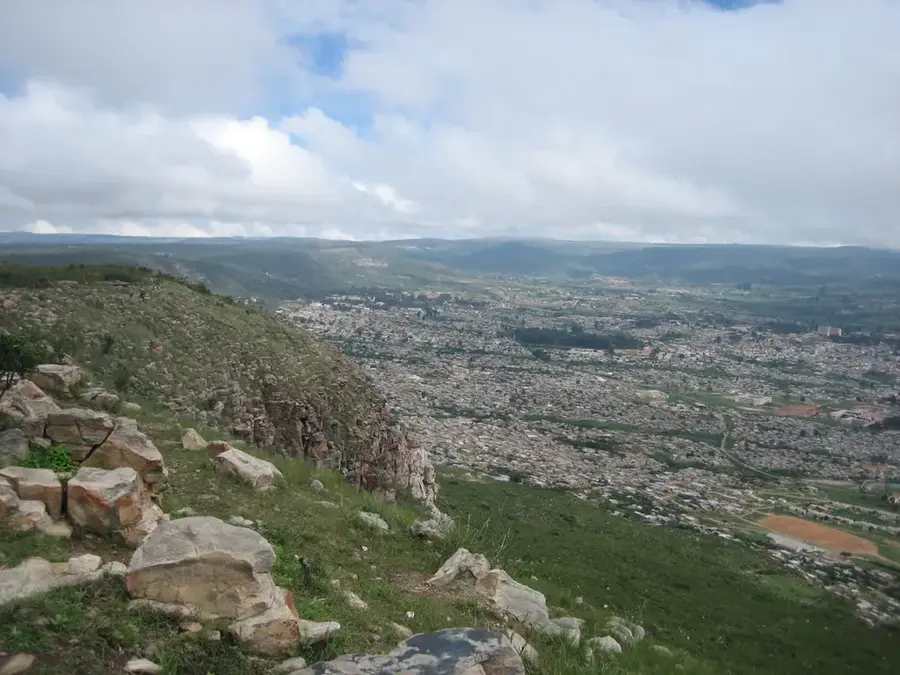
Buada Lagoon is Nauru's only significant inland lake, forming a lush, green sanctuary in the heart of the island's central plateau. This landlocked, brackish body of water sits in a natural depression about 5 meters above sea level and is surrounded by the island's most fertile soil. Lush vegetation, including coconut palms, banana trees, and pandanus, thrives along its banks, creating a stark contrast to the nearby phosphate mining sites. Historically, the lagoon was central to Nauruan life, as it was used for the traditional farming of milkfish (known locally as ibija), providing a vital protein source for the population. Today, while Tilapia have become more common, the lagoon remains an ecologically sensitive area and a critical habitat for local birdlife. For travelers, Buada Lagoon provides a glimpse into the tropical beauty that once covered much of Nauru before the industrial era. It serves as a peaceful community hub where visitors can appreciate the island's unique inland environment and its enduring agricultural heritage.
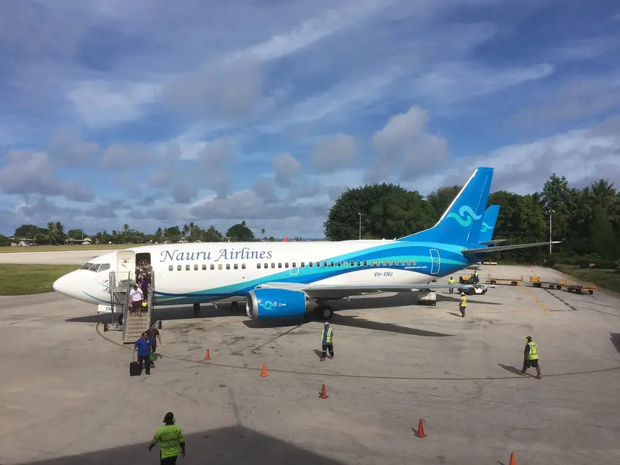
- Location: Nauru
- Top sights: Buada Chapel · Lagoon viewpoint · Japanese WWII Prison
- Nearby: Arenibek (4 km)
Best time to visit & climate
The most pleasant time to visit is May, Jun, Sep.
| Jan | Feb | Mar | Apr | May | Jun | Jul | Aug | Sep | Oct | Nov | Dec | |
|---|---|---|---|---|---|---|---|---|---|---|---|---|
| Avg °C | 28 | 28 | 28 | 28 | 28 | 28 | 28 | 28 | 28 | 28 | 28 | 28 |
| Rain mm | 194 | 192 | 193 | 161 | 116 | 107 | 123 | 118 | 108 | 118 | 133 | 202 |
📋 Practical info
Geography
Facts
- Nauru's only inland lake
- Located in Buada District
- Contains brackish water
- Traditional site for milkfish farming
- Surrounded by fertile vegetation
- Situated in the central plateau area
Explore nearby
Notable places around
Route planner — Car & Motorhome
Where do you start? We build the route here, with stops and country notes along the way.
© OpenStreetMap contributors · OpenRouteService
Sights in the town Buada Lagoon (10)
Command Ridge
Highest point in Nauru, 65 m above sea level, with remnants of Japanese positions.
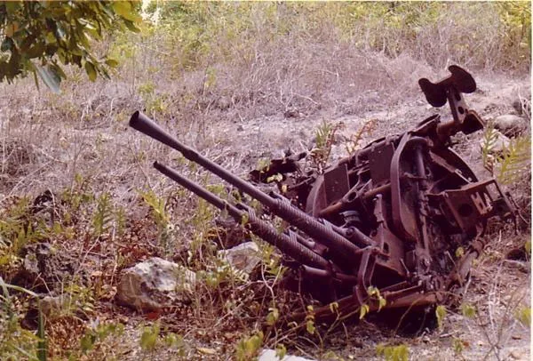
Japanese WWII guns and bunker
Several Japanese guns and a concrete bunker from the occupation period 1942-1945.
Orro Congregational Church
Protestant church in Orro, meeting place for the Congregationalist community.
Monument to the Nauruans Exiled in WWII
Memorial for Nauruans deported by Japan to Chuuk in 1942.
A.O.G
Assemblies of God building, used for services and community activities.
Naoero Museum🏛 museum
National museum of Nauru, featuring exhibits on the island's history, culture, and nature.
Sights nearby
Frequently asked questions
Can you swim in Buada Lagoon?
How is the way there?
Is it a nice picnic spot?
When is the best time?
Is there a café?
Buada Lagoon: where is it located?
Buada Lagoon: what is there to see?
Buada Lagoon: when is the best time to visit?
Buada Lagoon: why is it worth visiting?

Nearby cities


History & landmarks


More places