Plizio Visual Lab
Denigomodu Casuarinas

Weather…
Water temperature…
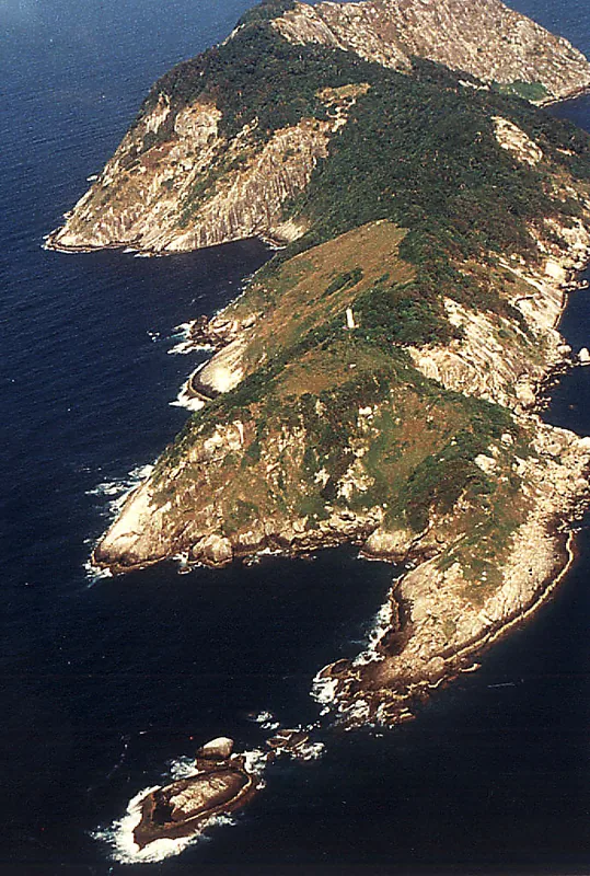
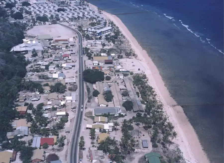
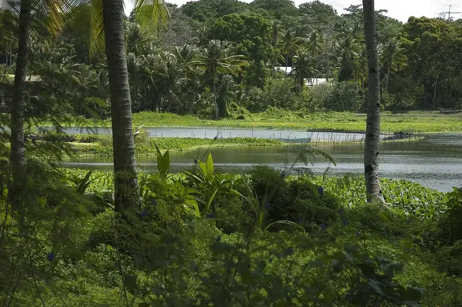
The Casuarina groves of Denigomodu form a vital ecological buffer along the coastal strip of Nauru. Often called 'ironwoods' due to their incredibly dense and durable timber, these trees are uniquely adapted to thrive in salty, alkaline soils and endure the punishing equatorial sun. Their needle-like foliage consists of specialized branchlets designed to minimize water loss, allowing the trees to remain green even during prolonged droughts. In the Denigomodu district, these clusters of Casuarina equisetifolia serve as natural windbreaks, shielding residential areas and roads from the erosive force of the Atlantic gales. Historically, Nauruans utilized the hardwood for crafting tools and essential items, but today the trees are primarily valued for environmental conservation and the deep shade they provide. The areas beneath their feathery branches are frequent gathering spots for the local community, offering a cool respite from the heat. These trees are not only functional guardians of the shoreline but also a distinct visual element of Nauru’s coastal identity.
- Location: Nauru
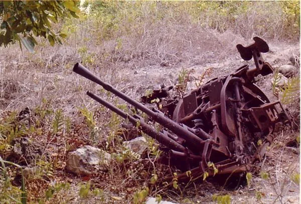
- Top sights: Monument to the Nauruans Exiled in WWII · Command Ridge · Japanese WWII Gun
- Nearby: Anetan (4 km)
Best time to visit & climate
The most pleasant time to visit is May, Jun, Sep.
| Jan | Feb | Mar | Apr | May | Jun | Jul | Aug | Sep | Oct | Nov | Dec | |
|---|---|---|---|---|---|---|---|---|---|---|---|---|
| Avg °C | 28 | 28 | 28 | 28 | 28 | 28 | 28 | 28 | 28 | 28 | 28 | 28 |
| Rain mm | 194 | 192 | 193 | 161 | 116 | 107 | 123 | 118 | 108 | 118 | 133 | 202 |
📋 Practical info
Geography
Facts
- Casuarina equisetifolia can reach heights of up to 35 meters.
- The trees fix nitrogen in the soil, improving its overall quality.
- Denigomodu is the most densely populated district in Nauru.
- The stands serve as windbreaks for nearby infrastructure.
- Casuarina wood is extremely hard and used locally for construction.
- Some trees were planted for reforestation following phosphate mining.
Explore nearby
Notable places around
Route planner — Car & Motorhome
Where do you start? We build the route here, with stops and country notes along the way.
© OpenStreetMap contributors · OpenRouteService
Sights in the town Denigomodu Casuarinas (10)
A.O.G
Assembly of God church, a Christian place of worship in Denigomodu.
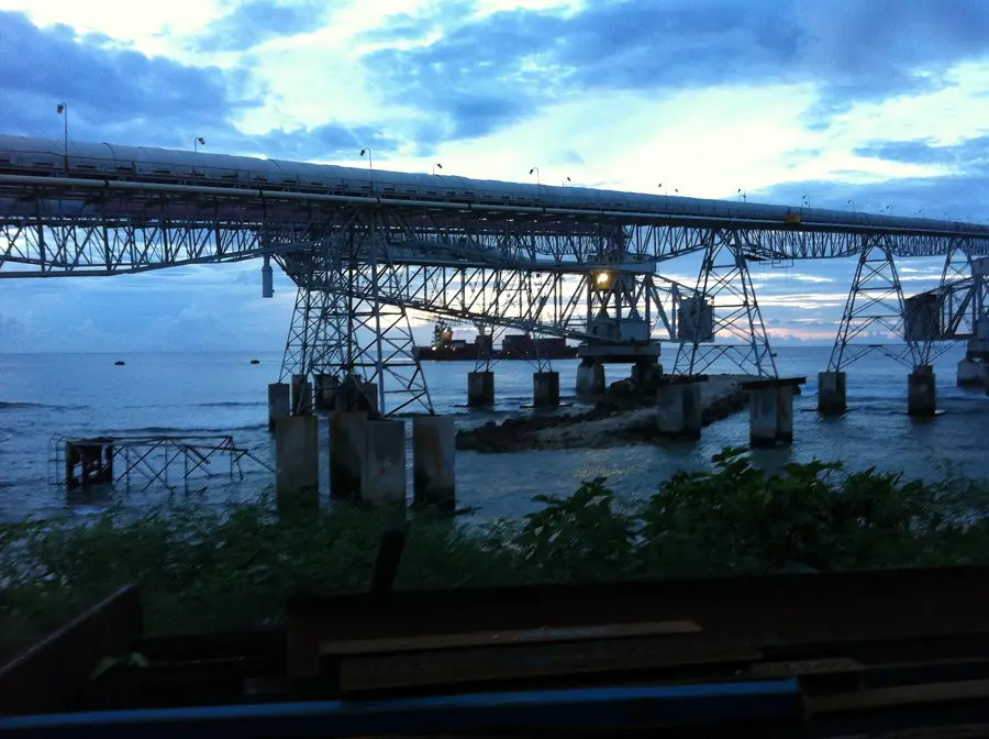
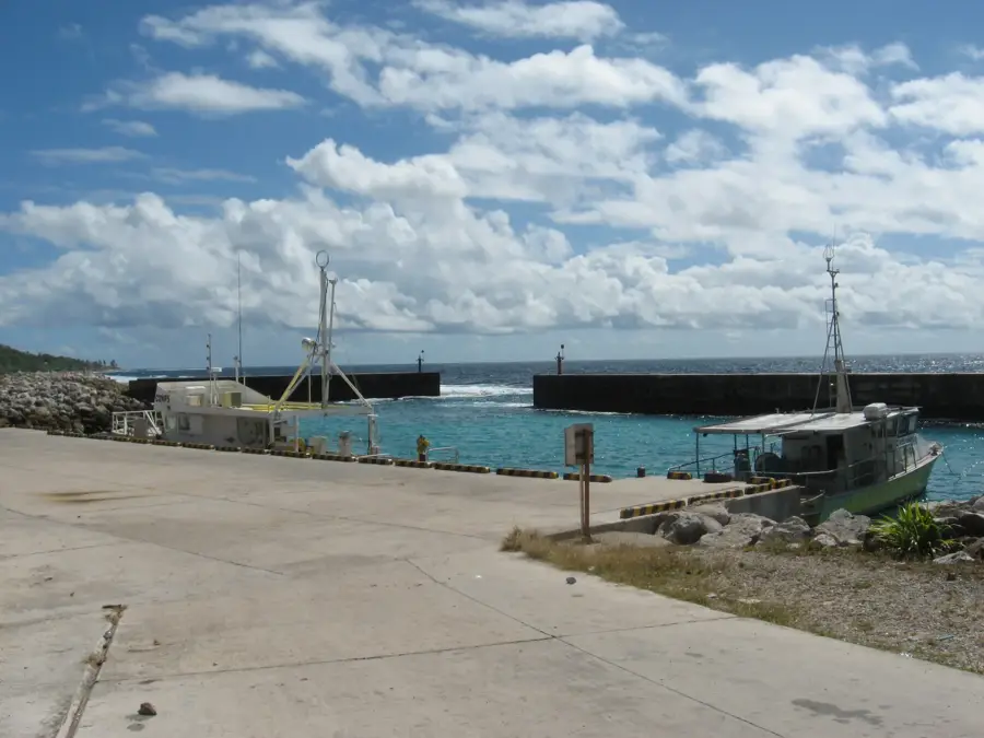
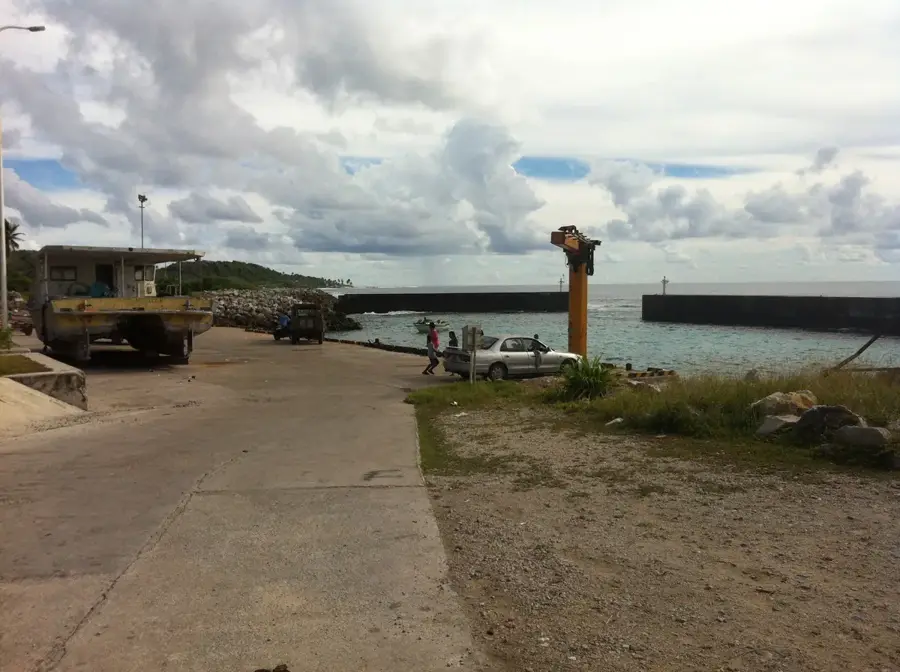
Broken Down Cantilever Cranes
Dilapidated loading cranes, abandoned equipment from phosphate shipping on Nauru.
Buada Chapel
Small chapel near Buada Lagoon, a quiet place for prayer on the island.
Orro Congregational Church
Congregational church serving the local community in Denigomodu.
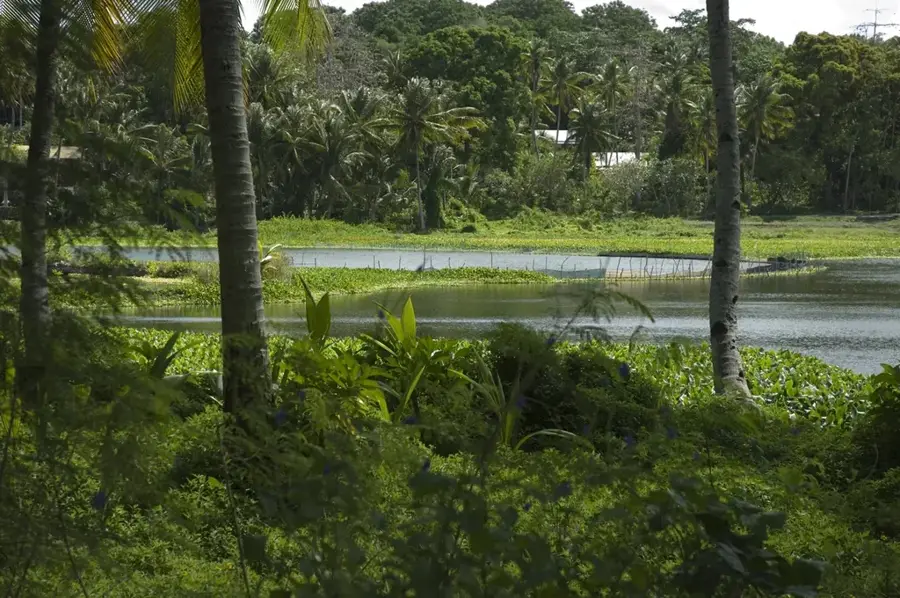
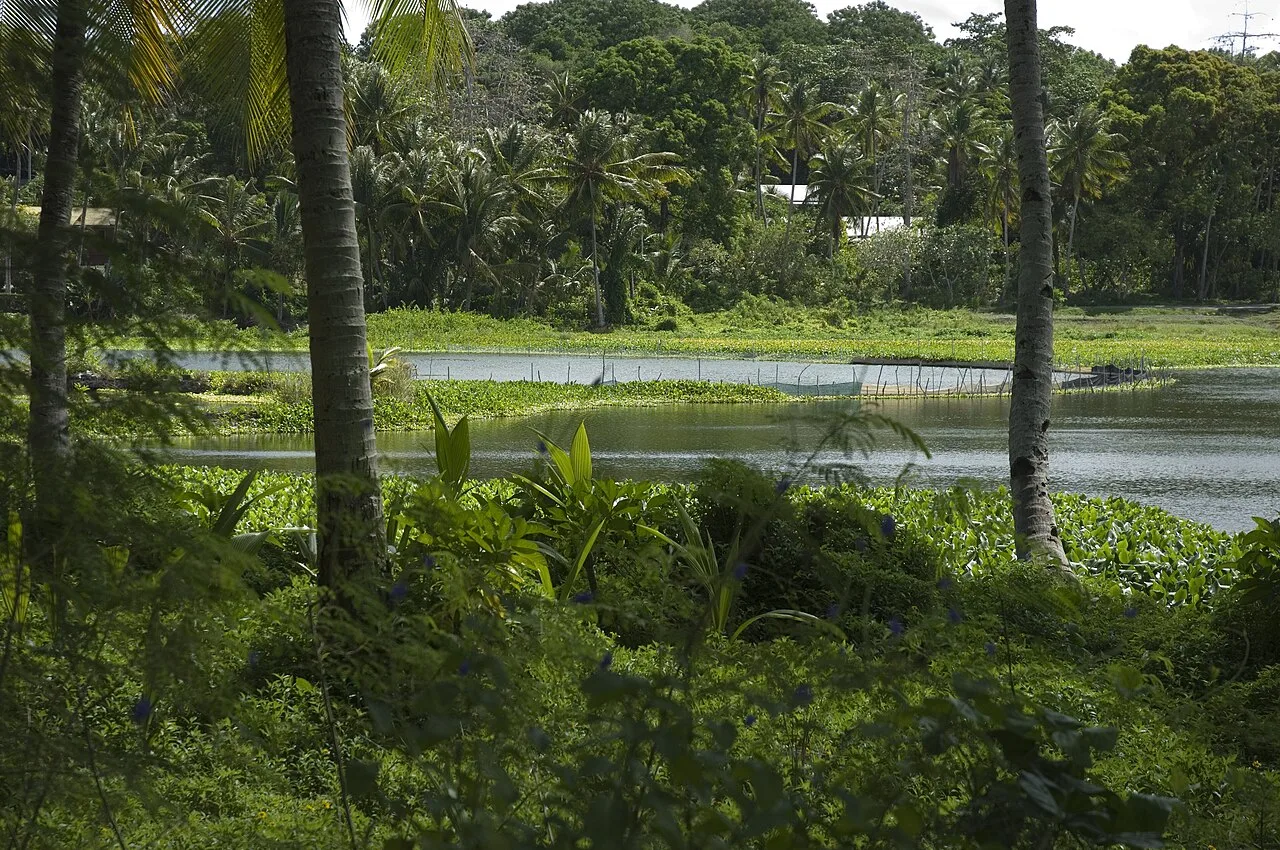
Lagoon viewpoint
Viewpoint overlooking the lagoon, offering a calm view of the water.
Naoero Museum🏛 museum
Nauru's national museum, showcasing the island's history and culture.
Sights nearby
Frequently asked questions
Why are the casuarinas important here?
Is it shady there?
Can you camp there?
Are the trees sensitive?
What is nearby?
Denigomodu Casuarinas: where is it located?
Denigomodu Casuarinas: what is there to see?
Denigomodu Casuarinas: when is the best time to visit?
Denigomodu Casuarinas: why is it worth visiting?

Nearby cities


History & landmarks


Nature
More places