Plizio Visual Lab
Interior Lowland
Weather…
Water temperature…
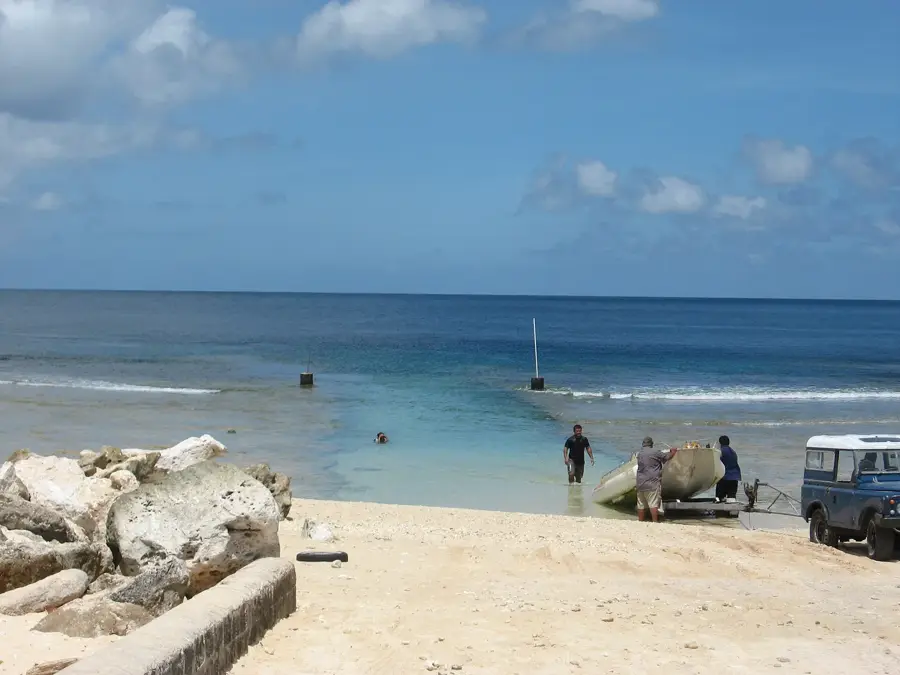
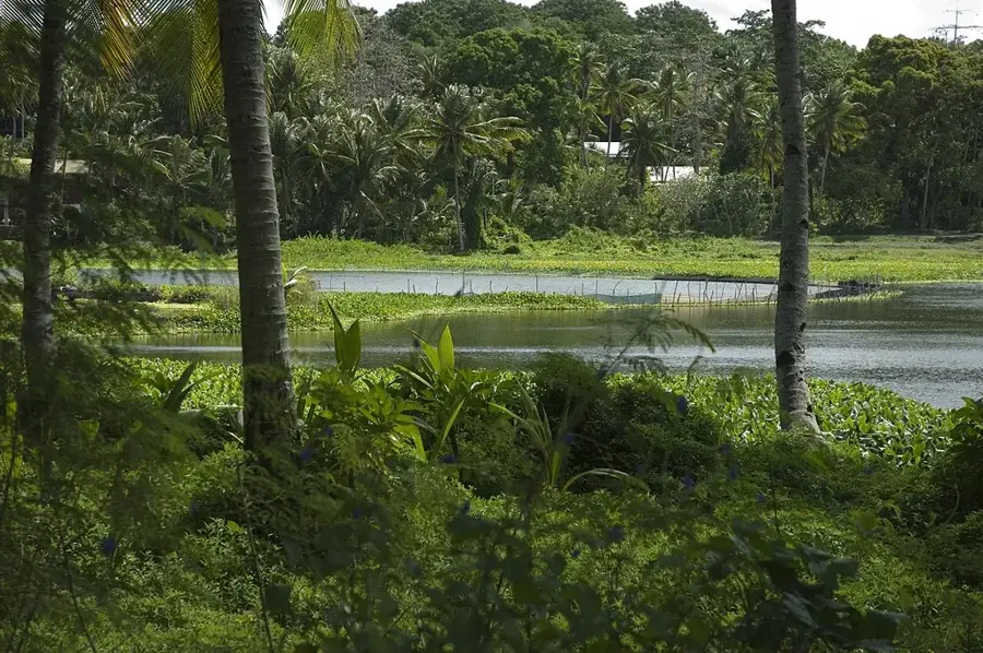
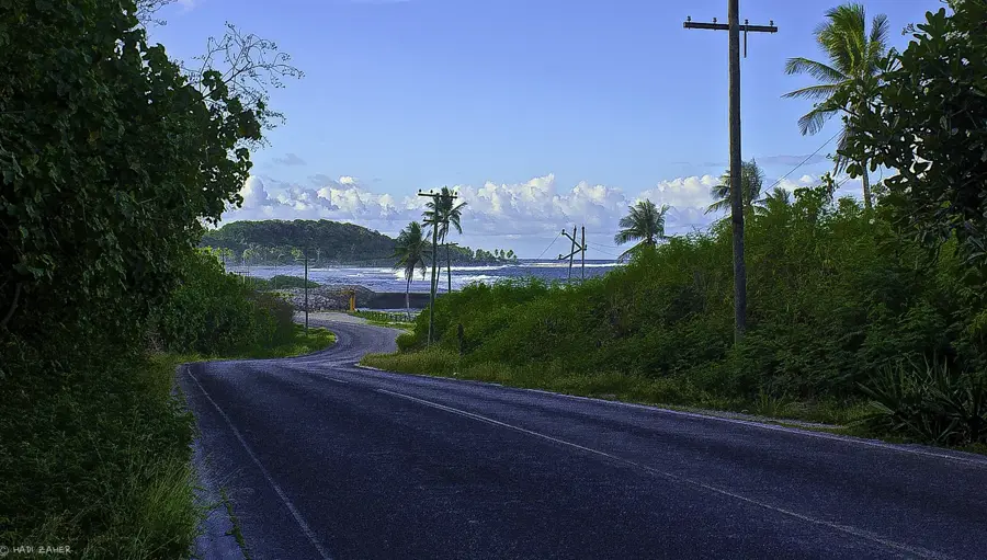
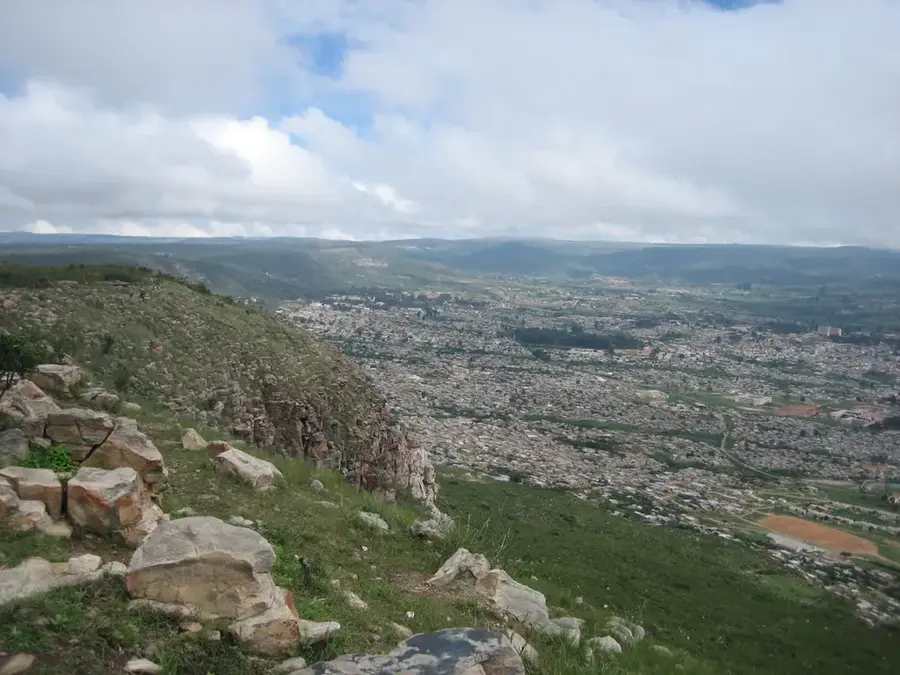
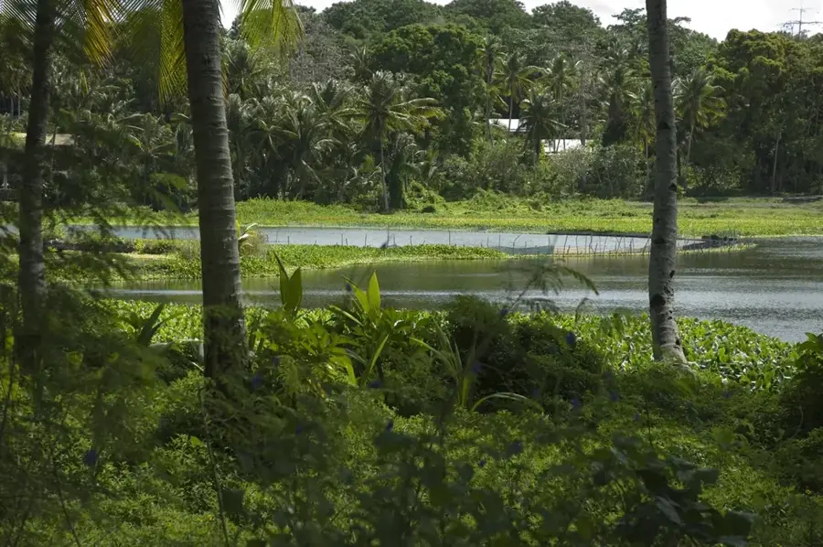
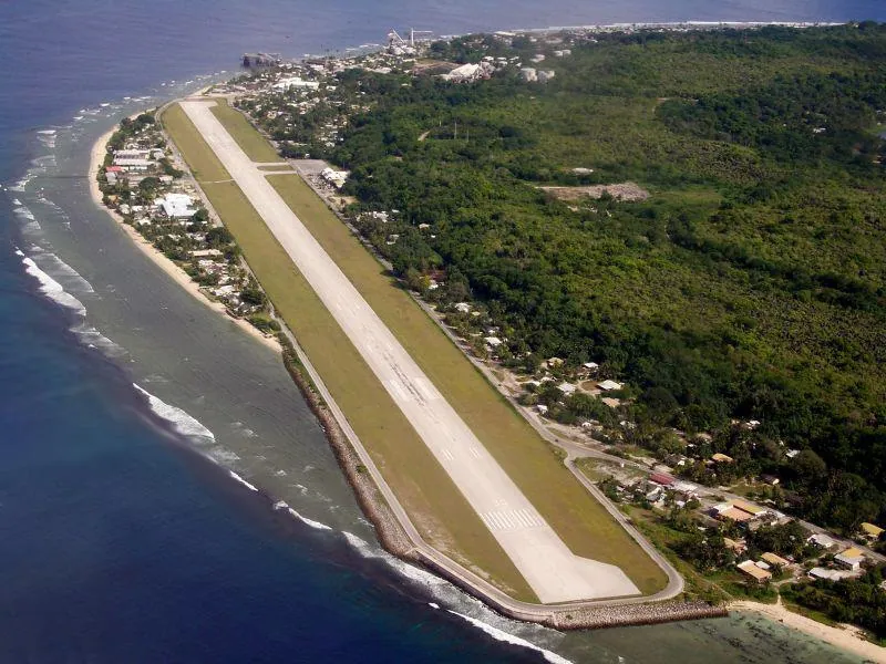
The Interior Lowland of Nauru is a unique geographical depression located in the southwest of the island's central plateau. It stands in stark contrast to the surrounding 'Topside' area, which has been largely stripped of vegetation and soil due to decades of intensive phosphate mining. This lower-lying basin serves as a natural catchment area for rainwater, supporting the most lush and diverse vegetation on the island. At the center of this depression lies Buada Lagoon, the country's only freshwater lake, surrounded by a fertile belt of coconut palms, pandanus trees, and tropical fruit crops. This area remains one of the few places in Nauru where the soil is suitable for agriculture and where the original island ecosystem can still be glimpsed. For locals and visitors alike, the Interior Lowland represents a vital green oasis, providing a crucial habitat for native birds and a serene environment away from the industrial scars of the mining plateaus.
- Location: Nauru
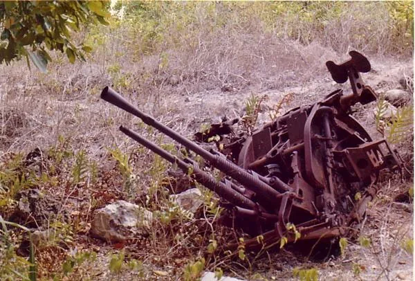
- Top sights: Japanese WWII Prison · Lagoon viewpoint · Japanese WWII guns and bunker
- Nearby: Ewa (4 km)
Best time to visit & climate
The most pleasant time to visit is May, Jun, Sep.
| Jan | Feb | Mar | Apr | May | Jun | Jul | Aug | Sep | Oct | Nov | Dec | |
|---|---|---|---|---|---|---|---|---|---|---|---|---|
| Avg °C | 28 | 28 | 28 | 28 | 28 | 28 | 28 | 28 | 28 | 28 | 28 | 28 |
| Rain mm | 194 | 192 | 193 | 161 | 116 | 107 | 123 | 118 | 108 | 118 | 133 | 202 |
📋 Practical info
Geography
Facts
- Covers about 80% of Nauru's total land area.
- Phosphate mining officially began here in 1906.
- The average elevation ranges between 30 and 60 meters.
- Contains the Buada Lagoon, the island's only lake.
- The highest point, Command Ridge, reaches 65 meters.
- The landscape is dominated by thousands of limestone pinnacles.
Explore nearby
Notable places around
Route planner — Car & Motorhome
Where do you start? We build the route here, with stops and country notes along the way.
© OpenStreetMap contributors · OpenRouteService
Sights in the town Interior Lowland (10)
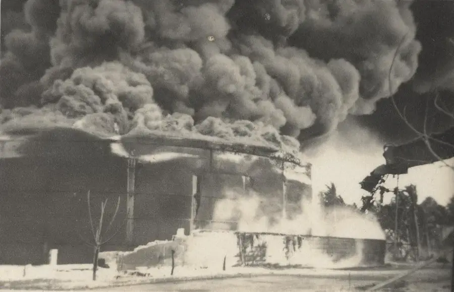
Japanese WWII Gun
Japanese WWII gun, positioned on the coast.
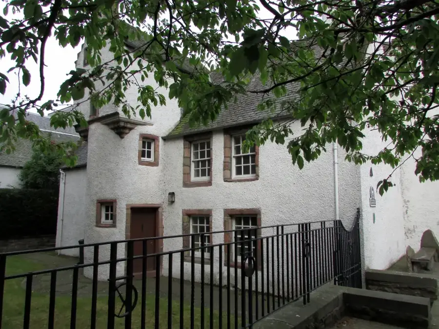
Buada Chapel
Chapel in the interior of Nauru, used for Christian gatherings.
Orro Congregational Church
Congregational church in Orro, Nauru, a place of worship.
Gun
Viewpoint with a Japanese gun, offering a wide view over the coastline.
Catholic Church⛪ church
Catholic church on Nauru, a place of worship for the Catholic community.
Command Ridge
Mountain on Nauru, the highest point of the island with historical relics.
Sights nearby
Frequently asked questions
What is the interior lowland?
Is it interesting for visitors?
Are there paths there?
Should I spend a lot of time there?
Do I need sun protection?
Interior Lowland: where is it located?
Interior Lowland: what is there to see?
Interior Lowland: when is the best time to visit?
Interior Lowland: why is it worth visiting?

Nearby cities


History & landmarks


Nature
More places